From Eve
Know before you go
Hi, I'm Eve. Here are a few practical things to know before exploring Malanje.
Local know-how to help you travel smarter and make the most of every moment.

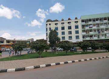
Explore Malanje, Angola: A stunning hiking area filled with breathtaking landscapes, rich biodiversity, and unforgettable adventures in nature.
Malanje is a stunning destination in Angola, renowned for its breathtaking landscapes and vibrant ecosystems, making it a must-visit for hiking enthusiasts. From lush greenery to captivating rock formations, the area offers a range of trails suitable for all levels of hikers, providing an unforgettable adventure in nature's embrace.
Opening times, essentials, and a few local tips gathered into one calmer, easier-to-scan planning section.
Hi, I'm Eve. Here are a few practical things to know before exploring Malanje.
Local know-how to help you travel smarter and make the most of every moment.
Car
If you are traveling by car, start from the center of Malanje city. Head southeast on Avenida 1° de Maio towards Rua da Liberdade. Continue straight for about 2 kilometers until you reach the intersection with the EN210 road. Turn left onto EN210 and follow the signs for Malanje Plateau. After approximately 10 kilometers, you will start seeing signs for the hiking area, which is located at Carreira de Tiro. Keep an eye out for the F85M+7RH marker, which is your destination.
Public Transportation
To reach Malanje Plateau via public transportation, head to the main bus terminal in Malanje city. Look for buses or shared taxis (locally known as 'carros') heading to the Malanje Plateau. The fare is typically around 500 Kwanza (AOA) per person. The journey should take about 30-45 minutes, depending on traffic. Once you arrive at the drop-off point near Carreira de Tiro, walk towards the F85M+7RH marker, which is a hiking area entrance.
Walking
If you are already near the F85M+7RH marker in Carreira de Tiro, you can simply walk to the hiking area. From the main road, head towards the F85M+7RH coordinates, which is approximately a 15-minute walk. Follow the local paths leading into the Plateau, ensuring you have proper hiking gear and enough water for your trek.
Use Malanje as your starting point for nearby food, family ideas, nightlife, and more local discoveries.

Explore expert travel guides, compare and book tours, experiences, hotels, and more—all from the palm of your hand. Download now for seamless trip planning wherever your wanderlust takes you.
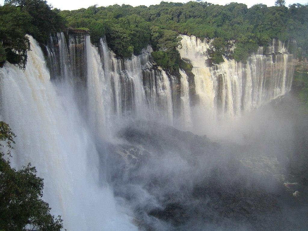
Explore the natural beauty and cultural richness of Malanje Plateau in Angola, home to stunning waterfalls, unique rock formations, and vibrant local life.
Tell me more about Malanje Plateau