From Eve
Know before you go
Hi, I'm Eve. Here are a few practical things to know before exploring Sunset Trail.
Local know-how to help you travel smarter and make the most of every moment.

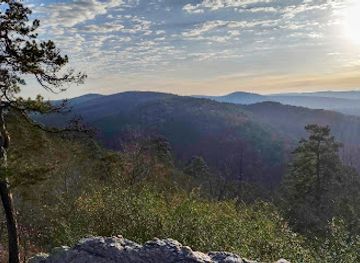
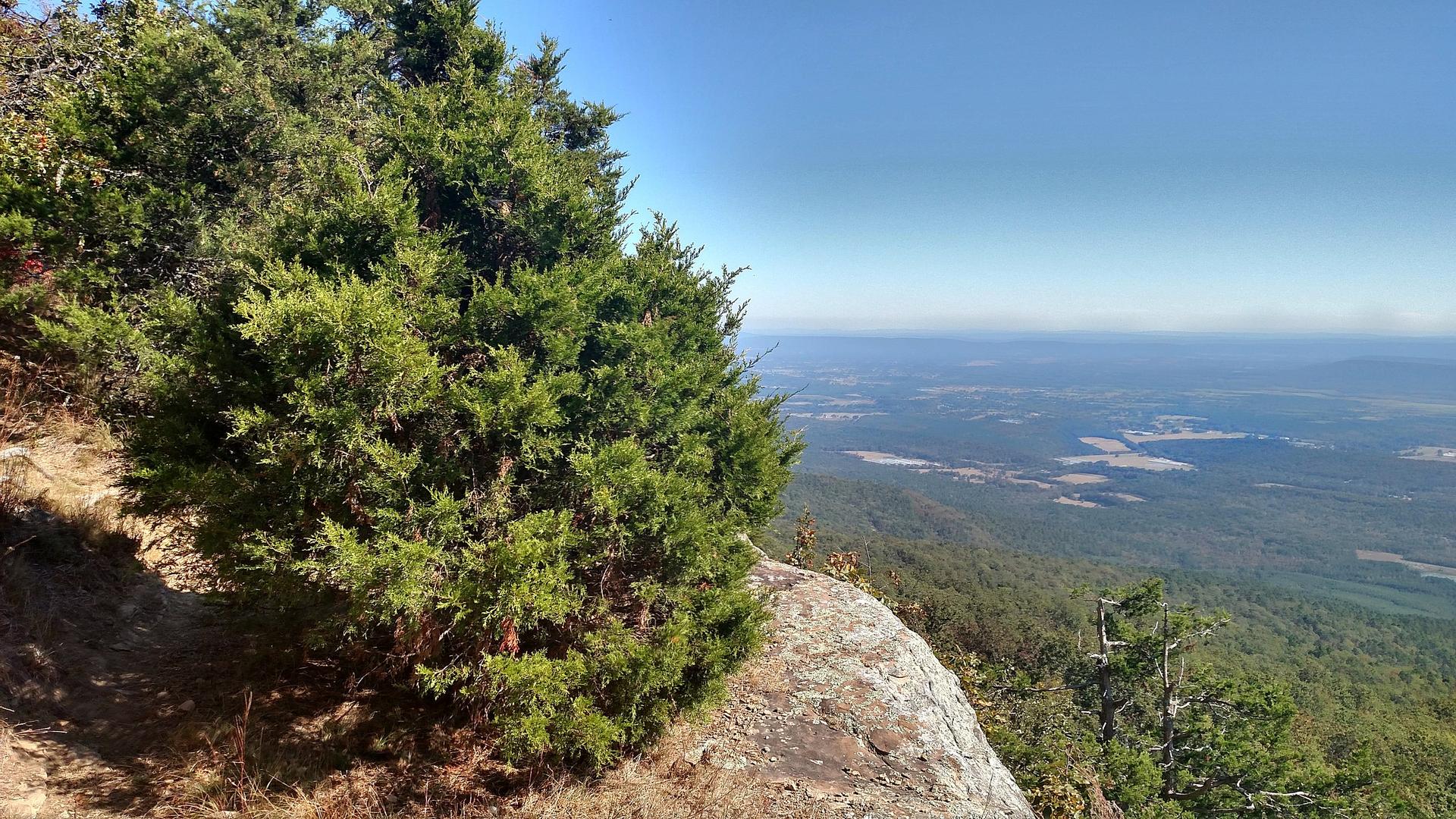
Discover Hot Springs National Park's longest and most challenging trail, offering remote wilderness and stunning views.
The Sunset Trail, the longest in Hot Springs National Park, offers a challenging yet rewarding hike through the park's most remote areas, with diverse terrain and scenic views. It's a must-do for experienced hikers seeking solitude and natural beauty.
Opening times, essentials, and a few local tips gathered into one calmer, easier-to-scan planning section.
Hi, I'm Eve. Here are a few practical things to know before exploring Sunset Trail.
Local know-how to help you travel smarter and make the most of every moment.
Walking
From the Fordyce Bathhouse Visitor Center, access the Sunset Trail via Hot Springs Mountain Drive or the Grand Promenade. Follow the signs for the Hot Springs Mountain Trail, which connects to the Sunset Trail. The initial climb can be steep.
Public Transport
The Hot Springs Trolley may offer routes that stop near trailheads. Check the current routes and schedules. From the trolley stop, follow walking directions to the trailhead.
Driving
Drive to one of the parking areas at the trailheads, such as West Mountain Summit, Blacksnake Road, Cedar Glades Road, or Gulpha Gorge Campground. Parking availability varies, especially during peak season. From the parking area, follow the signs to the Sunset Trail. Parking fees may apply in certain areas.
Use Tower Bridge as your starting point for nearby food, family ideas, nightlife, and more local discoveries.

Explore expert travel guides, compare and book tours, experiences, hotels, and more—all from the palm of your hand. Download now for seamless trip planning wherever your wanderlust takes you.
Discover Arkansas Valley: Explore stunning landscapes, vibrant culture, and endless outdoor adventures nestled between the Ozark and Ouachita Mountains.
Tell me more about Arkansas Valley