From Eve
Know before you go
Hi, I'm Eve. Here are a few practical things to know before exploring Sunset Trail.
Local know-how to help you travel smarter and make the most of every moment.
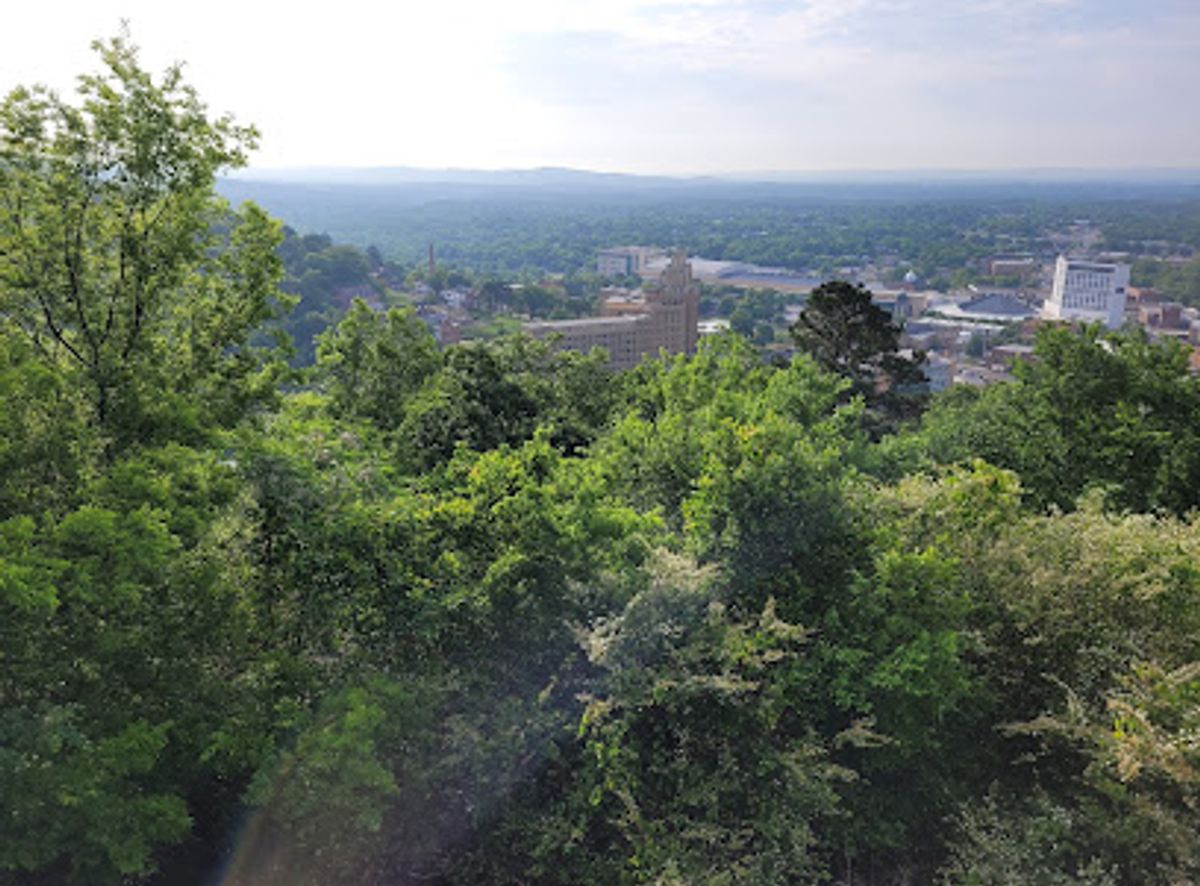
Discover Hot Springs National Park's wilder side on the Sunset Trail, a challenging hike with rewarding views and diverse terrain.
The Sunset Trail, the longest in Hot Springs National Park, offers a challenging yet rewarding trek through diverse terrains and remote areas. This 13-17 mile loop showcases the park's natural beauty, with options to explore shorter sections. Be sure to follow the orange blazes to stay on course!
Opening times, essentials, and a few local tips gathered into one calmer, easier-to-scan planning section.
Hi, I'm Eve. Here are a few practical things to know before exploring Sunset Trail.
Local know-how to help you travel smarter and make the most of every moment.
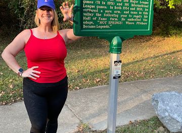
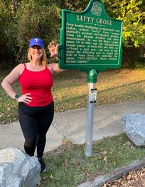
Hot Springs: The Birthplace of Spring Baseball Historic Marker

Discover the Arkansas Alligator Farm & Petting Zoo: A Unique Wildlife Experience
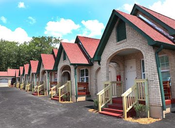
Discover the Charm of Best Court in Hot Springs
Walking
From the Fordyce Bathhouse Visitor Center (369 Central Ave), walk west on Central Avenue. Turn left onto Fountain Street, then right onto Hot Springs Mountain Drive. Follow the road to the West Mountain Summit. The Sunset Trailhead is located near the summit. Consider using the Grand Promenade, a scenic brick walkway behind Bathhouse Row, to access Fountain Street. No cost for walking.
Driving
From downtown Hot Springs, navigate to Fountain Street and turn onto Hot Springs Mountain Drive. Follow the road to the West Mountain Summit, where parking is available near the Sunset Trailhead. Parking is limited and may require a fee depending on the location. Metered parking is available in downtown Hot Springs. Expect to pay around $1-2 per hour.
Use Sunset Trail as your starting point for nearby food, family ideas, nightlife, and more local discoveries.

Explore expert travel guides, compare and book tours, experiences, hotels, and more—all from the palm of your hand. Download now for seamless trip planning wherever your wanderlust takes you.

Discover the therapeutic wonders and rich history of Hot Springs, Arkansas, where natural beauty, cultural treasures, and culinary delights await every visitor.
Tell me more about Hot Springs