From Eve
Know before you go
Hi, I'm Eve. Here are a few practical things to know before exploring Redding/Spy Rock Loop Trailhead.
Local know-how to help you travel smarter and make the most of every moment.

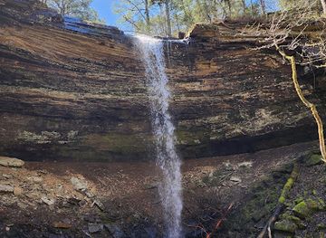
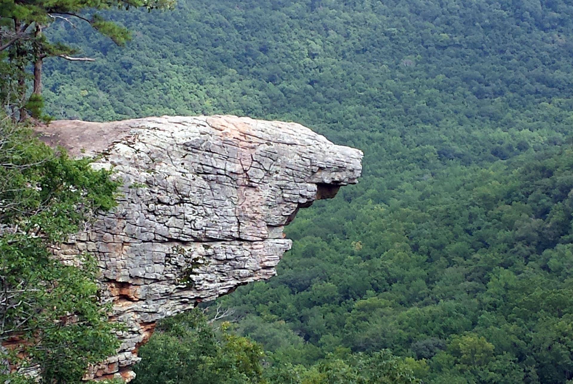
Hike the Redding/Spy Rock Loop for stunning Ozark views, seasonal waterfalls, and a challenging but rewarding trail experience.
The Redding/Spy Rock Loop Trailhead provides access to an 8.5-mile hiking trail through the Ozark National Forest, leading to scenic vistas, seasonal waterfalls, and the iconic Spy Rock bluff. It's a popular destination for hikers seeking a moderately challenging trek with rewarding views.
Opening times, essentials, and a few local tips gathered into one calmer, easier-to-scan planning section.
Hi, I'm Eve. Here are a few practical things to know before exploring Redding/Spy Rock Loop Trailhead.
Local know-how to help you travel smarter and make the most of every moment.
Driving
From Ozark, AR, head north on Highway 23 for approximately 15 miles. Turn right onto Highway 215 East and continue for about 3 miles. The Redding Campground and trailhead will be on your right. Parking is available at the campground's Mulberry River access area. A day-use fee of $3 may be required.
Walking
From the Redding Campground entrance, follow the signs to the day-use parking area near the Mulberry River. The trailhead is located across the road from the bathhouse, between campsites 20 and 21. The initial section of the trail heads east through the campground before entering the woods. There are no additional costs for accessing the trail if already within the campground.
Use Tower Bridge as your starting point for nearby food, family ideas, nightlife, and more local discoveries.


Explore expert travel guides, compare and book tours, experiences, hotels, and more—all from the palm of your hand. Download now for seamless trip planning wherever your wanderlust takes you.
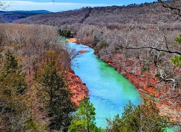
Discover the natural wonders of Ozark National Forest, Arkansas: a vast expanse of rugged landscapes, diverse wildlife, and endless outdoor adventures.
Tell me more about Ozark National Forest