

Ozark National Forest Travel Guide - Free Web & App
Your ultimate guide to Ozark National Forest. Discover top landmarks, proposed trips, and local tips. Free on the web or via the Evendo companion app.


Ozark National Forest in Arkansas offers forested mountains, caves, waterfalls, wilderness trails, scenic overlooks and outdoor adventure near historic towns.
Mountain Landscapes and Forested Waterways
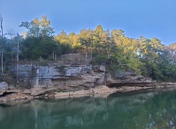
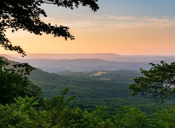
Ozark National Forest occupies more than a million acres across northern Arkansas, where the Ozark Plateau breaks into wooded ridges, steep hollows, limestone bluffs and clear-running streams. Its terrain is especially rugged in the Boston Mountains, while the western and northern sections contain broad upland forests cut by the Mulberry, White and Buffalo river systems. The forest is managed as a working national forest as well as a place for recreation, with oak-hickory woodland, pine stands, caves, springs and extensive backcountry areas shaping the experience.Read more about Ozark National Forest
Trails, Caves and Scenic Areas
Gateway Communities and Local Character
When is the best time to visit Ozark National Forest?
Best: April–May, September · 21–28°C| Month | High (°C) | Rainfall (mm) |
|---|---|---|
| January | 10 | 80 |
| February | 12 | 80 |
| March | 17 | 100 |
| April (best) | 21 | 100 |
| May (best) | 26 | 110 |
| June | 30 | 90 |
| July | 32 | 90 |
| August | 31 | 90 |
| September (best) | 28 | 100 |
| October | 21 | 100 |
| November | 15 | 100 |
| December | 11 | 90 |
Getting to and around Ozark National Forest
How to get there
Transportation
Best attractions in Ozark National Forest
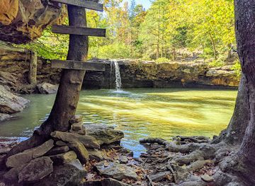
Ozark National Forest’s attractions are distributed across a large area of northern Arkansas. Blanchard Springs Caverns offers guided access to an extensive underground landscape of passages and formations, while the surrounding springs and forest make the site a natural and geological highlight. Near Jasper, Whitaker Point, widely known as Hawksbill Crag, projects above a wooded valley and is reached by a popular hiking route. The Pedestal Rocks Scenic Area presents weathered sandstone formations and short trails through the Ozark uplands. Richland Creek Wilderness and Upper Buffalo Wilderness provide more secluded walking among steep hollows, creeks and bluffs, while Haw Creek Falls is associated with a forested stream corridor and seasonal water. The Mulberry River attracts paddlers when conditions are suitable, and the forest’s many overlooks, springs, waterfalls and back roads reward visitors who explore by district rather than attempting to see everything in one outing.
-
National forest
Ozark - St. Francis National Forest
Discover Arkansas's natural beauty in the Ozark-St. Francis National Forest: hiking, camping, water activities, and scenic drives await!
-
Tourist attraction
Christ of the Ozarks
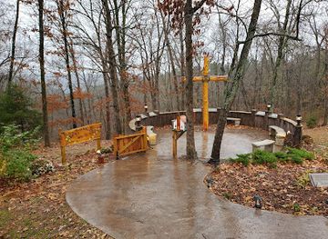
Towering statue of Jesus Christ overlooking Eureka Springs, offering stunning views and a serene atmosphere atop Magnetic Mountain.
-
Tourist attraction
Cosmic Cavern
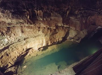
Discover the beauty and mystery of Arkansas's largest privately-owned cave, featuring stunning formations and unique underground ecosystems.
-
Botanical Garden of the Ozarks
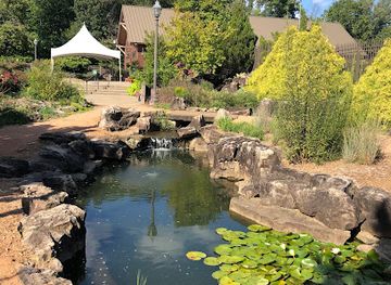
Discover themed gardens, a butterfly house, and nature events at Fayetteville's beautiful Botanical Garden of the Ozarks. A vibrant destination for all ages.
Best landmarks in Ozark National Forest
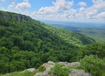
The forest’s defining landmarks are largely natural. The Boston Mountains form a rugged eastern upland of wooded ridges and deeply cut valleys, while sandstone bluffs and limestone exposures reveal the geological structure of the Ozark Plateau. Whitaker Point, or Hawksbill Crag, is one of the best-known scenic projections, looking across a broad forested hollow. Blanchard Springs and Blanchard Springs Caverns connect an above-ground spring landscape with a cave system shaped by underground water. Richland Creek and Upper Buffalo Wilderness preserve prominent examples of the forest’s remote creek-and-bluff country, and the Mulberry River is an important flowing-water feature for recreation. Historic traces are more dispersed than monumental: old roads, farm clearings, mills and rural settlements around the forest reflect the long relationship between upland communities, timber and agriculture.
-
Government office
Ozark - St. Francis National Forest
Discover the unspoiled beauty and adventure awaiting you at Ozark - St. Francis National Forest, a top destination for nature lovers and outdoor enthusiasts in Arkansas.
-
Sculpture
Christ of the Ozarks
Discover the serene beauty and spiritual significance of the Christ of the Ozarks, a monumental sculpture in Eureka Springs, Arkansas, surrounded by stunning landscapes.
-
State park
Hobbs State Park-Conservation Area
Explore the breathtaking beauty of Hobbs State Park-Conservation Area, Arkansas' outdoor paradise with trails, wildlife, and stunning lake views.
-
Scenic spot
Arkansas Grand Canyon
Experience breathtaking panoramic views of the Ozark Mountains at the Arkansas Grand Canyon, a must-see scenic stop along Highway 7.
Explore Ozark National Forest on the map
Plan your trip on one map. See where the top attractions, landmarks, restaurants and hotels are, and book hotels and experiences in a few clicks.
Best hotels in Ozark National Forest
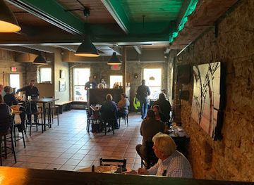
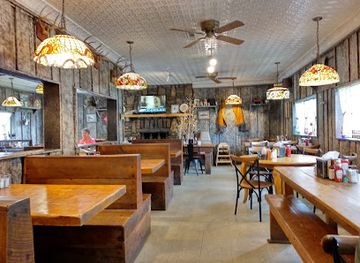
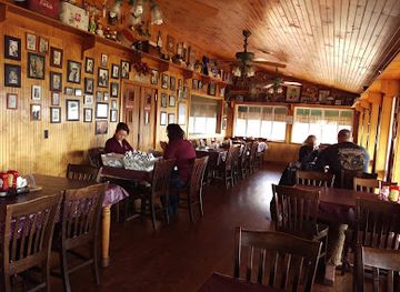
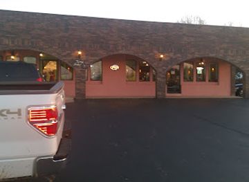
Best restaurants in Ozark National Forest
There is little concentrated dining within the forest itself, so most visitors eat in gateway towns before or after reaching trailheads and recreation areas. Jasper provides a practical base for the western Boston Mountains and Buffalo-area approaches, while Mountain View, Clinton, Ozark and Clarksville serve other sections of the forest. Local menus commonly reflect Arkansas and Southern traditions, with dishes built around fried catfish, barbecue, chicken, biscuits, beans, cornbread and seasonal produce, alongside familiar American café food. Mountain View is also known for the wider Ozark cultural scene surrounding its courthouse square and folk-music traditions, although the forest’s remote areas require visitors to carry provisions rather than expect a café or restaurant nearby. Farm shops, grocers and small-town diners can be useful for assembling picnics, particularly before heading towards wilderness trailheads or dispersed recreation areas.
-
American
Grotto Wood-Fired Grill and Wine Cave
Discover exquisite American cuisine at Grotto Wood-Fired Grill and Wine Cave in Eureka Springs – where every meal is a culinary adventure.
-
Restaurant
Granny's Kitchen
Discover the heartwarming flavors of Southern cuisine at Granny's Kitchen in Huntsville, Arkansas - where every meal feels like home.
-
Restaurant
Cliff House Inn
Discover breathtaking views and rustic charm at Cliff House Inn – your gateway to the stunning Arkansas Grand Canyon.
-
Mexican
El Puerto Mexican Restaurant
Experience authentic Mexican cuisine at El Puerto Mexican Restaurant in Ozark – where vibrant flavors meet warm hospitality.
Best bars in Ozark National Forest
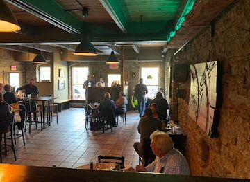
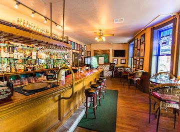
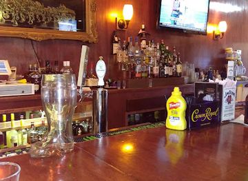
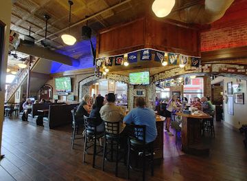
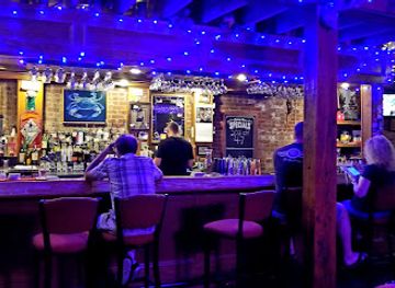
Nightlife in and around Ozark National Forest is small-scale and community-oriented rather than concentrated in clubs or entertainment districts. Gateway towns such as Jasper, Mountain View, Ozark, Clarksville and Clinton have local restaurants, bars and traditional gathering places, while music remains an important part of the wider Ozark identity. Mountain View’s folk and old-time music traditions are particularly associated with evening performances and informal playing around the town’s cultural venues, though events and schedules vary. In rural areas, evening entertainment is more likely to mean a quiet meal, a community event or time around an authorised campsite than late-night drinking. Visitors staying in remote cabins or campgrounds should plan transport in advance, since roads are dark and winding and there may be no nearby taxi service or late-opening business.
-
American
Grotto Wood-Fired Grill and Wine Cave
Experience extraordinary American cuisine at Grotto Wood-Fired Grill and Wine Cave, nestled in the heart of charming Eureka Springs, Arkansas.
-
Grill
Balcony Restaurant & Bar
Discover Balcony Restaurant & Bar, where delicious American grill cuisine meets stunning views in the heart of Eureka Springs.
-
Restaurant
Crosswoods Restaurant & Sports Club
Experience Clarksville's culinary gem at Crosswoods Restaurant & Sports Club, where great food meets lively sports entertainment.
-
Grill
Buckets Sports Bar & Grill
Experience delicious grilled specialties and vibrant sports atmosphere at Buckets Sports Bar & Grill in Harrison, Arkansas, a top destination for food and fun.
Best nightclubs in Ozark National Forest
Nightlife in and around Ozark National Forest is small-scale and community-oriented rather than concentrated in clubs or entertainment districts. Gateway towns such as Jasper, Mountain View, Ozark, Clarksville and Clinton have local restaurants, bars and traditional gathering places, while music remains an important part of the wider Ozark identity. Mountain View’s folk and old-time music traditions are particularly associated with evening performances and informal playing around the town’s cultural venues, though events and schedules vary. In rural areas, evening entertainment is more likely to mean a quiet meal, a community event or time around an authorised campsite than late-night drinking. Visitors staying in remote cabins or campgrounds should plan transport in advance, since roads are dark and winding and there may be no nearby taxi service or late-opening business.
-
Bar
Eureka Live
Experience the vibrant nightlife at Eureka Live, the ultimate cocktail bar and dance club in the heart of Eureka Springs, Arkansas.
-
Bar
Club Frisco
Discover the vibrant nightlife at Club Frisco in Rogers, Arkansas - a lively bar offering unique drinks, exciting music, and unforgettable experiences.
-
Karaoke bar
Infusion Bar
Experience the lively atmosphere of Infusion Bar, Fayetteville's premier karaoke and night club, where music and fun come alive!
-
Night club
C4 Nightclub & Lounge
Experience the vibrant nightlife at C4 Nightclub & Lounge in Fayetteville, Arkansas, where every night is a celebration of dance and community.

Best shops in Ozark National Forest
Shopping opportunities are concentrated in communities around the forest rather than at remote trailheads. Mountain View is the principal cultural and craft-oriented stop for many visitors, with links to Ozark music, handmade goods and regional arts, while Jasper, Clinton, Ozark and Clarksville provide everyday supplies, groceries, fuel and outdoor necessities. Visitors may find locally made pottery, woodwork, woven goods, paintings, music recordings and food products associated with the wider Ozark region, although stock varies between businesses and seasons. Small-town shops and farm-related sellers can also provide picnic provisions and locally produced items, but the national forest itself is not a shopping destination. Purchase firewood, water, maps and other essentials before travelling into isolated areas, where commercial facilities are sparse or absent.
-
Department store
Walmart
Discover Walmart in Ozark, Arkansas, your affordable one-stop shop for groceries, clothing, electronics, and more during your travels.
-
Camping cabin
Turner Bend Store Cabins & RV Campgrounds
Discover the natural beauty and adventure of Turner Bend Store Cabins & RV Campgrounds in the Ozarks, perfect for camping, kayaking, and hiking.
-
Truck stop
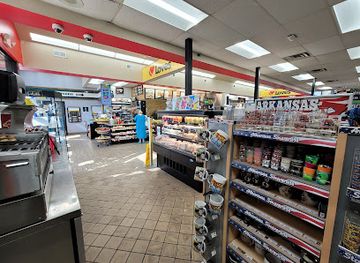
Love's Travel Stop
Discover Love's Travel Stop in Ozark, Arkansas: a 24/7 convenience hub offering fuel, food, and comfort for all travelers.
-
Restaurant
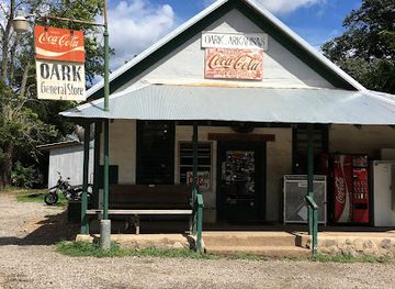
Oark General Store
Discover the charm of Oark General Store—where hearty meals and local treasures await in the scenic Arkansas Ozarks.

Get your free copy of our complete guide to Ozark National Forest, delivered straight to you.
Everything on this page, from attractions and restaurants to essentials and local phrases, in one PDF you can read offline, print or share.
Already have an account? Sign in
Your Ozark National Forest guide is ready.
We'll send it to · Not you? Sign out

Getting your guide ready…
We are putting together a fresh copy of the Ozark National Forest guide. This can take up to a minute.
This can take a few moments. If your browser asks, choose Allow so the download can start. You'll find the guide in your Downloads folder.
Nothing happened? Download it again
Sorry, the guide is taking longer than usual. Please try again in a minute, or get it by email instead.
Ozark National Forest essentials
Currency and Payment
Safety
Emergency Situations
Do's and Don'ts
Local Tips
From Eve
Local phrases worth knowing
You don't need to get them perfect. A few words go a long way, and locals appreciate the effort.
Basics
| English | Local | Say it |
|---|---|---|
| Hello | Howdy | [hahy-dee] |
| Goodbye | See ya | [see-yuh] |
| Yes | Yep | [yep] |
| No | Nah | [na] |
| Please/You're welcome | Please/You're welcome | [pleez/yur welcome] |
| Thank you | Thank ya | [thank yuh] |
| Excuse me/Sorry | Pardon me/My bad | [pahr-dn mee/my bad] |
| How are you? | How y'all doin'? | [how yall doin] |
| Fine. And you? | Fine. And you? | [fahyn. and yuh] |
| Do you speak English? | Ya speak English? | [ya speak english] |
| I don't understand | I don't git it | [ai dohnt git iht] |
Eating & Drinking
| English | Local | Say it |
|---|---|---|
| I'd like to see the menu, please | I'd like to see the menu, please | [ai'd lahk tuh see thu menu, pleez] |
| I don't eat meat | I don't eat meat | [ai dohnt eet meet] |
| Cheers! | Cheers! | [cheers] |
| I would like to pay, please | I would like to pay, please | [ai wood lahk tuh pay, pleez] |
Emergencies
| English | Local | Say it |
|---|---|---|
| Help! | Help! | [help] |
| Go away! | Git outta here! | [git aht-uh here] |
| Call the Police! | Call the Sheriff! | [kawl thu shur-iff] |
| Call a doctor! | Call a doc! | [kawl a doc] |
| I'm lost | I'm lost | [aim lost] |
| I'm ill | I'm sick | [aim sik] |
Shopping
| English | Local | Say it |
|---|---|---|
| I'd like to buy... | I'd like to buy... | [ai'd lahk tuh bahy] |
| I'm just looking | I'm just lookin' | [aim just lookin] |
| How much is it? | How much is it? | [how much is iht] |
| That's too expensive | That's too pricey | [thats too preis-ee] |
| Can you lower the price? | Can you knock the price down? | [can yuh nok the preis doun] |
Time & Numbers
| English | Local | Say it |
|---|---|---|
| What time is it? | What time is it? | [whut tahm is iht] |
| It's one o'clock | It's one o'clock | [its wun uh-klock] |
| Half past (10) | Half past (10) | [haf past (ten)] |
| Morning | Mornin' | [mornin] |
| Afternoon | Afternoon | [afternoon] |
| Evening | Evenin' | [evenin] |
| Yesterday | Yesterday | [yesturday] |
| Today | Today | [tuh-day] |
| Tomorrow | Tomorrow | [tuh-mor-oh] |
| 1 | One | [wun] |
| 2 | Two | [too] |
| 3 | Three | [three] |
| 4 | Four | [four] |
| 5 | Five | [fahyv] |
| 6 | Six | [siks] |
| 7 | Seven | [sev-uhn] |
| 8 | Eight | [ayt] |
| 9 | Nine | [nahn] |
| 10 | Ten | [ten] |
Transport & Directions
| English | Local | Say it |
|---|---|---|
| Where's a/the...? | Where's a/the...? | [whurs a/the] |
| What's the address? | What's the address? | [whuts the ad-dress] |
| Can you show me (on the map)? | Can you show me (on the map)? | [can yuh show mee (on the map)] |
| When's the next (bus)? | When's the next (bus)? | [whens the nekst (bus)] |
| A ticket (to ....) | A ticket (to ....) | [uh tik-it (tuh)] |
History of Ozark National Forest
An Ancient Uplifted Plateau
The Ozarks are not a single mountain chain but an elevated plateau shaped over immense geological timescales. In northern Arkansas, erosion has cut the plateau into ridges, coves, hollows and limestone landscapes, while sandstone layers form prominent bluffs and rock shelters. Underground water has enlarged cavities in soluble rock, producing springs and cave systems such as Blanchard Springs Caverns. This geological structure explains the forest’s abrupt changes in elevation, its clear streams and the concentration of many scenic features along deeply incised valleys.
Indigenous Homelands and Early Settlement
The Ozark region has a long history of Indigenous occupation, hunting and seasonal movement. Quapaw, Osage and Caddo peoples held important connections with the wider Arkansas landscape, while Cherokee communities also passed through and settled in parts of the region during periods of displacement and migration. European-American settlement expanded during the nineteenth century, bringing small farms, mills, roads and local communities into the upland valleys. Subsistence agriculture and access to timber and water shaped settlement patterns, but the rugged terrain kept many hollows relatively isolated.
Timber, Farming and Landscape Change
By the late nineteenth and early twentieth centuries, logging and farming had altered substantial areas of the Ozarks. Timber was cut for local use, charcoal, railroad development and commercial markets, while fields occupied more accessible ridges and valley bottoms. Repeated cutting, burning and cultivation changed forest composition and contributed to erosion in some places. Many communities depended on a mixed economy of agriculture, woodland work, hunting and small-scale industry, leaving a cultural landscape that remains visible around the forest’s rural edges.
The National Forest Era
The Ozark National Forest was established in 1908, beginning a new phase of federal management in the Arkansas uplands. Early priorities included controlling erosion, restoring forest cover and managing timber resources. During the 1930s, Civilian Conservation Corps workers built roads, trails, bridges, recreation facilities and other improvements across many public forests, including the Ozarks. These projects helped establish the infrastructure through which later generations experienced the landscape, even as local communities continued to rely on surrounding forests for work and resources.
Conservation and Recreation
During the twentieth century, public interest broadened from timber production towards watershed protection, wildlife habitat, wilderness and outdoor recreation. Areas such as Richland Creek and Upper Buffalo received stronger protection for their remote character, while scenic sites, caves and river corridors became important destinations. The forest is now managed through competing demands that include habitat conservation, prescribed fire, sustainable forestry, recreation and protection of water resources. Its modern identity reflects both a working landscape and a major setting for hiking, camping, paddling, fishing and nature study.
Ozark National Forest in Photos
Browse through our photo collection highlighting the charm and character of the destination.
Cities in Ozark National Forest
The towns and cities of Ozark National Forest, and the easiest places to base yourself.
-

-

-

-

-

-


Swipe for more cities
Neighbouring destination travel guides
The closest destinations to Ozark National Forest, if you have time for more than one.
-

-

-

-

-
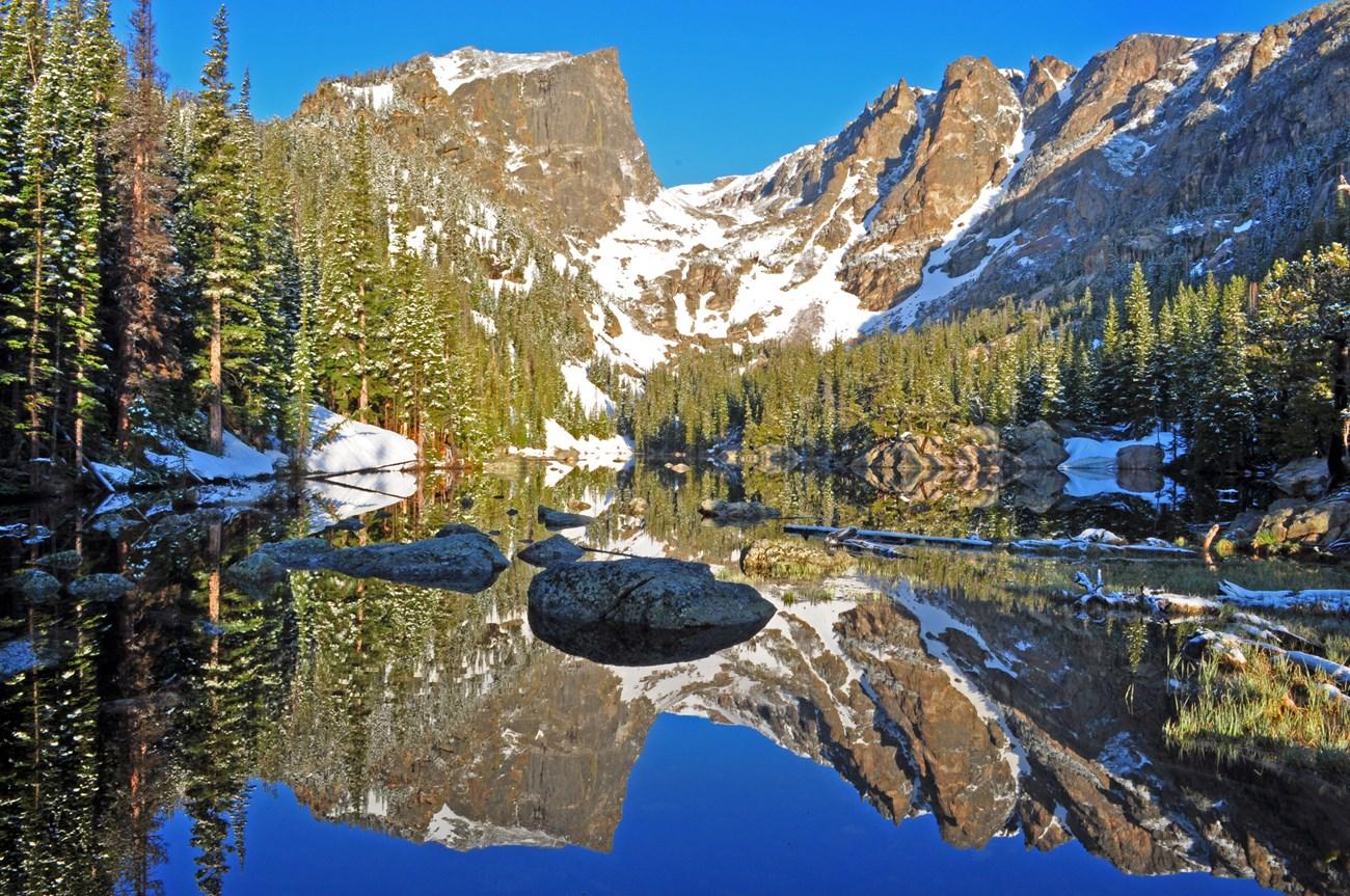 Table Rock Lake
, Missouri, pairs clear water, wooded shores and Ozark scenery with boating, fishing, hiking and lively lakeside towns in the United States.
Table Rock Lake
Table Rock Lake, Missouri, pairs clear water, wooded shores and Ozark scenery with boating, fishing, hiking and lively lakeside towns in the United States.


Swipe for more destinations
Explore more

Explore more of Arkansas River Valley
Explore the Arkansas River Valley for mountain trails, river recreation, frontier history, historic towns and the varied landscapes of central Arkansas.
Explore Arkansas River Valley
Explore more of Arkansas
Explore Arkansas: The Natural State with its stunning landscapes, rich history, and vibrant cultural experiences. Perfect for adventurers and culture seekers alike.
Explore Arkansas