

Mount Gomadrunk peak, Vayots Dzor Region Travel Guide
Hike Mount Gomadrunk in Armenia for stunning views, serene trails, and a deep connection with nature. An unforgettable adventure awaits!
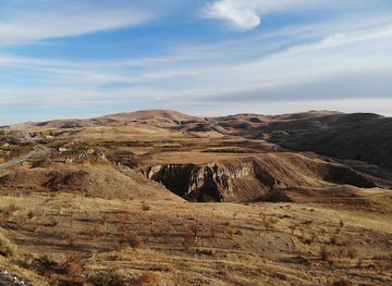
Mount Gomadrunk, near Rind, Armenia, offers serene hiking trails and panoramic views. Its diverse flora and fauna create a peaceful environment for nature lovers and those seeking respite from city life.
A brief summary to Mount Gomadrunk peak
- R534+82, Rind, AM

Know before you go
Hi, I'm Eve. Here are a few practical things to know before exploring Mount Gomadrunk peak.
- Hike during spring or autumn for mild weather and optimal scenery.
- Engage with the local community to learn about the area's history and culture.
- Bring appropriate hiking gear, including sturdy shoes and plenty of water.
Do you manage this location?
Take control to get all the benefits, like improved information, better appearance, and stronger visibility across AI-powered discovery. Learn more
Activate your presenceOther nearby places you may find interesting
The closest places of the same kind, if this one is not quite what you had in mind.
Explore Mount Gomadrunk peak on the Map
A handpicked selection of must-see spots near Mount Gomadrunk peak, mapped for you.
Getting There
-
Public Transport
To reach Mount Gomadrunk via public transport, take a bus or minibus from Yerevan to Yeghegnadzor. Buses depart from Yerevan's central bus station several times daily. From Yeghegnadzor, hire a taxi or take a local minibus towards Rind. Inform the driver you're going to Mount Gomadrunk Peak. A taxi may cost approximately 3,000-5,000 AMD depending on the distance. Upon arrival in Rind, ask locals for directions to the peak; the trail starts from the village outskirts.
-
Driving
If driving, start from Yeghegnadzor, the administrative center of Vayots Dzor. Head south on the M2 highway towards Rind. After about 10 kilometers, look for the exit toward R534. Turn left onto R534 and continue for approximately 5 kilometers. Look for signs directing you to Mount Gomadrunk Peak. GPS coordinates are approximately 39.8033125 latitude and 45.1550625 longitude. Park safely near the trailhead.
-
Hiking
After reaching Rind, hike to Mount Gomadrunk Peak. The trail is well-marked, but downloading a map or using a GPS app is advisable. The hike takes approximately 1.5 to 2 hours, depending on fitness level. Ensure you have appropriate hiking gear and water. Enjoy the panoramic views of the surrounding mountains and valleys.
Discover more about Mount Gomadrunk peak













Your all‑in‑one travel companion app
Explore expert travel guides, compare and book tours, experiences, hotels, and more—all from the palm of your hand. Download now for seamless trip planning wherever your wanderlust takes you.


Explore More of Vayots Dzor Region
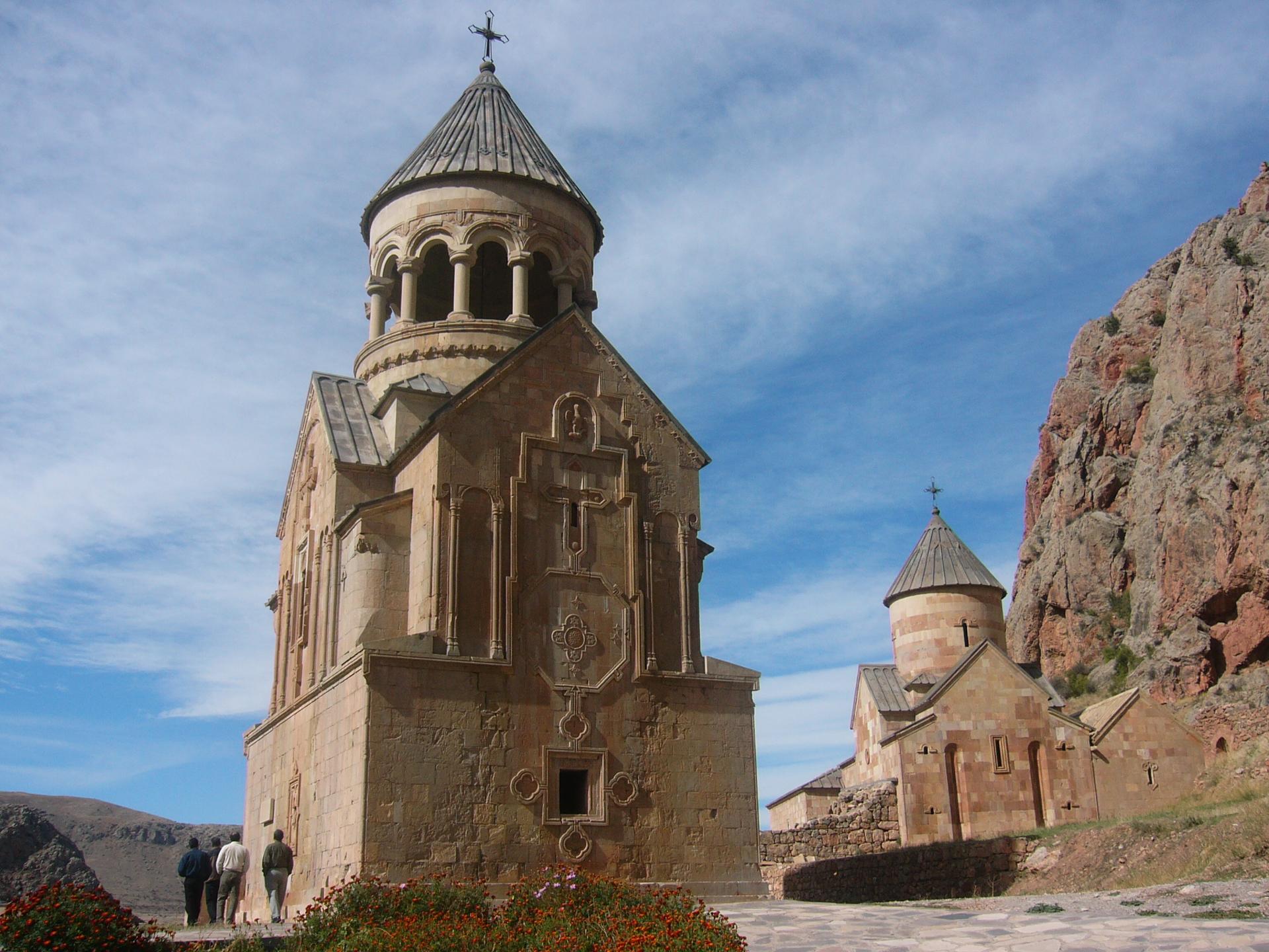
Looking beyond Mount Gomadrunk peak? Discover Vayots Dzor Region for broader travel guides, local hot-spots, and regional highlights.
Explore Vayots Dzor Region