
Big C, Berkeley Travel Guide
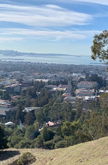
Discover breathtaking vistas and rich history at Big C in Berkeley, a must-see attraction for every traveler exploring California's stunning landscapes.
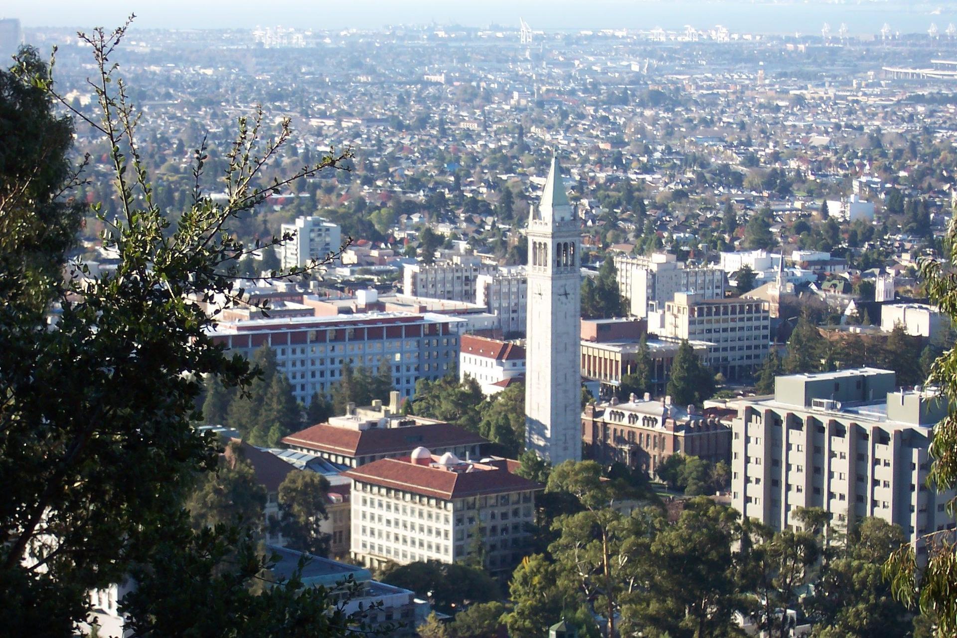
Big C in Berkeley, California, offers breathtaking views and a rich historical backdrop, making it a must-visit for tourists seeking stunning vistas and local culture. Perched on the hills, this iconic landmark is not just a viewpoint but a symbol of the city’s spirit. Whether you're hiking, picnicking, or taking photos, the Big C provides an unforgettable experience amidst the natural beauty of the area.
A brief summary to Big C
- Berkeley, California, 94720, US
- Click to display

Know before you go
Hi, I'm Eve. Here are a few practical things to know before exploring Big C.
- Visit during sunrise or sunset for the most spectacular views and perfect lighting for photographs.
- Wear comfortable hiking shoes as the trails can be steep and uneven.
- Bring a picnic to enjoy at the top, as there are lovely spots to sit and relax.
- Check the weather forecast before your visit to ensure clear views.
- Explore the surrounding trails for more scenic spots and a full day of hiking.
Do you manage this location?
Take control to get all the benefits, like improved information, better appearance, and stronger visibility across AI-powered discovery. Learn more
Activate your presenceOther nearby places you may find interesting
The closest places of the same kind, if this one is not quite what you had in mind.


Explore Big C on the Map
A handpicked selection of must-see spots near Big C, mapped for you.
Getting There
-
Walking
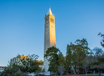
If you are in downtown Berkeley, start at the intersection of Shattuck Avenue and University Avenue. Head east on University Avenue for about 0.5 miles until you reach the entrance of the University of California, Berkeley campus. Enter the campus and follow the signs for the main path leading uphill. Continue straight until you reach the area near the Campanile (Sather Tower). From there, take the path to the right that leads to the hills. Follow the trail, and you will see signs directing you towards Big C. The hike is about 1 mile and will take you approximately 30-40 minutes.
-
Public Transport
From downtown Berkeley, you can take the AC Transit bus 67 from the nearest bus stop on Shattuck Avenue. Board the bus going towards 'El Cerrito del Norte BART.' Get off at the stop 'Grizzly Peak Blvd & South Park Drive.' From there, you will need to walk about 1 mile up the trail to reach Big C. Follow the signs that lead up the hill, and you will arrive in about 30 minutes.
-
Biking
If you're comfortable biking, start at the Berkeley Marina on Spinnaker Way. Head northeast on the bike path along the marina, and then take the road that leads up to the hills (Grizzly Peak Blvd). Continue biking for about 2 miles until you reach the parking area for the trails leading to Big C. From the parking area, it's a short hike up the trail to reach the landmark.
Discover more about Big C













Your all‑in‑one travel companion app
Explore expert travel guides, compare and book tours, experiences, hotels, and more—all from the palm of your hand. Download now for seamless trip planning wherever your wanderlust takes you.


Explore More of Berkeley
Looking beyond Big C? Discover Berkeley for broader travel guides, local hot-spots, and regional highlights.
Explore Berkeley