
Mt Diablo, San Joaquin Valley Travel Guide
Discover panoramic views, diverse trails, and rich history at Mount Diablo State Park, a Northern California gem offering an unforgettable escape into nature's grandeur.
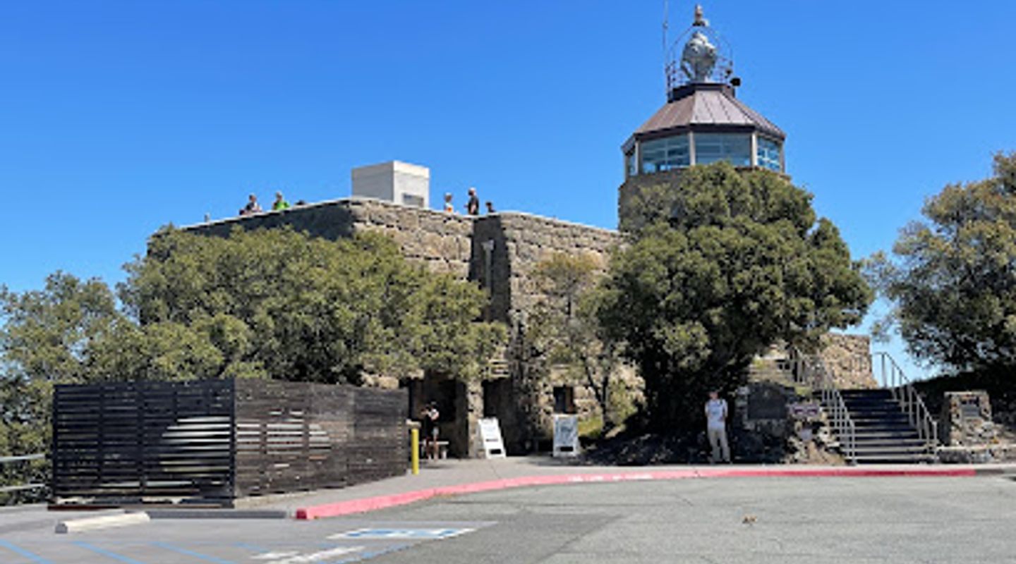
Mount Diablo, a prominent peak in Contra Costa County, offers unparalleled panoramic views stretching across the San Francisco Bay Area and beyond. Rising to 3,849 feet, it's a haven for hikers, cyclists, and nature enthusiasts. The mountain's diverse terrain supports unique plant and animal species, with vibrant wildflower displays in spring. Explore the Summit Visitor Center, built in the 1930s, to delve into the area's cultural and natural history. Whether you're seeking challenging trails, scenic drives, or breathtaking vistas, Mount Diablo promises an unforgettable escape, revealing the beauty and ecological richness of Northern California. Don't miss the chance to witness a sunset from the summit, a truly awe-inspiring experience.
A brief summary to Mt Diablo
- California, US

Know before you go
Hi, I'm Eve. Here are a few practical things to know before exploring Mt Diablo.
- Visit during the spring wildflower bloom for a spectacular display of color.
- Check the weather forecast before you go, as conditions can change rapidly at higher elevations.
- Bring binoculars to fully appreciate the panoramic views from the summit.
- Arrive early, especially on weekends, to avoid crowds and secure parking.
- Be aware of ticks and poison oak; wear appropriate clothing and stay on marked trails.
Do you manage this location?
Take control to get all the benefits, like improved information, better appearance, and stronger visibility across AI-powered discovery. Learn more about listing your business on Evendo
Activate your presenceOther nearby places you may find interesting
The closest places of the same kind, if this one is not quite what you had in mind.


Explore Mt Diablo on the Map
A handpicked selection of must-see spots near Mt Diablo, mapped for you.
Getting There
-
Driving
The most common way to reach Mount Diablo's summit is by car. From Walnut Creek, take North Gate Road, or from Danville, use South Gate Road. Both routes are scenic but winding, eventually merging at the Junction Ranger Station. From there, Summit Road leads to the top. Be prepared for a $10 vehicle entrance fee, payable by cash, check, or credit/debit card (when kiosks are staffed). Parking at the summit is limited, especially on weekends, so arrive early. Note that gates open at 8:00 AM and close at sunset; ensure you are headed out before sunset to avoid being locked in.
-
Public Transport & Taxi/Ride-Share
While public transport doesn't directly reach the summit, you can take County Connection buses (e.g., route 10 from Concord BART) to a point near the park's boundary. From there, a taxi or ride-share service is required for the final leg to the summit. Be aware that ride-share availability can be limited in the area, and costs can vary significantly. Expect to pay upwards of $65-$85 for a taxi/ride-share from Concord BART to the summit. Factor in the $2.50 bus fare (or $2.00 with Clipper card) from Concord BART to Marsh Creek Rd + Bigelow St. This option requires careful planning and may be more expensive than driving directly.
-
Biking
Experienced cyclists often bike to the summit. From either the North or South Gate entrance, it's a challenging uphill climb. There is no entry fee for those on foot or bicycle. Be prepared for narrow roads with limited shoulder space and watch out for vehicle traffic. Water is available at the pay gate, Juniper Camp and the summit. Ensure you have adequate water and supplies for the ascent. Parking is available near the South Gate entrance on Mt. Diablo Blvd outside of The Athenian School.
Discover more about Mt Diablo













Your all‑in‑one travel companion app
Explore expert travel guides, compare and book tours, experiences, hotels, and more—all from the palm of your hand. Download now for seamless trip planning wherever your wanderlust takes you.


Explore More of San Joaquin Valley
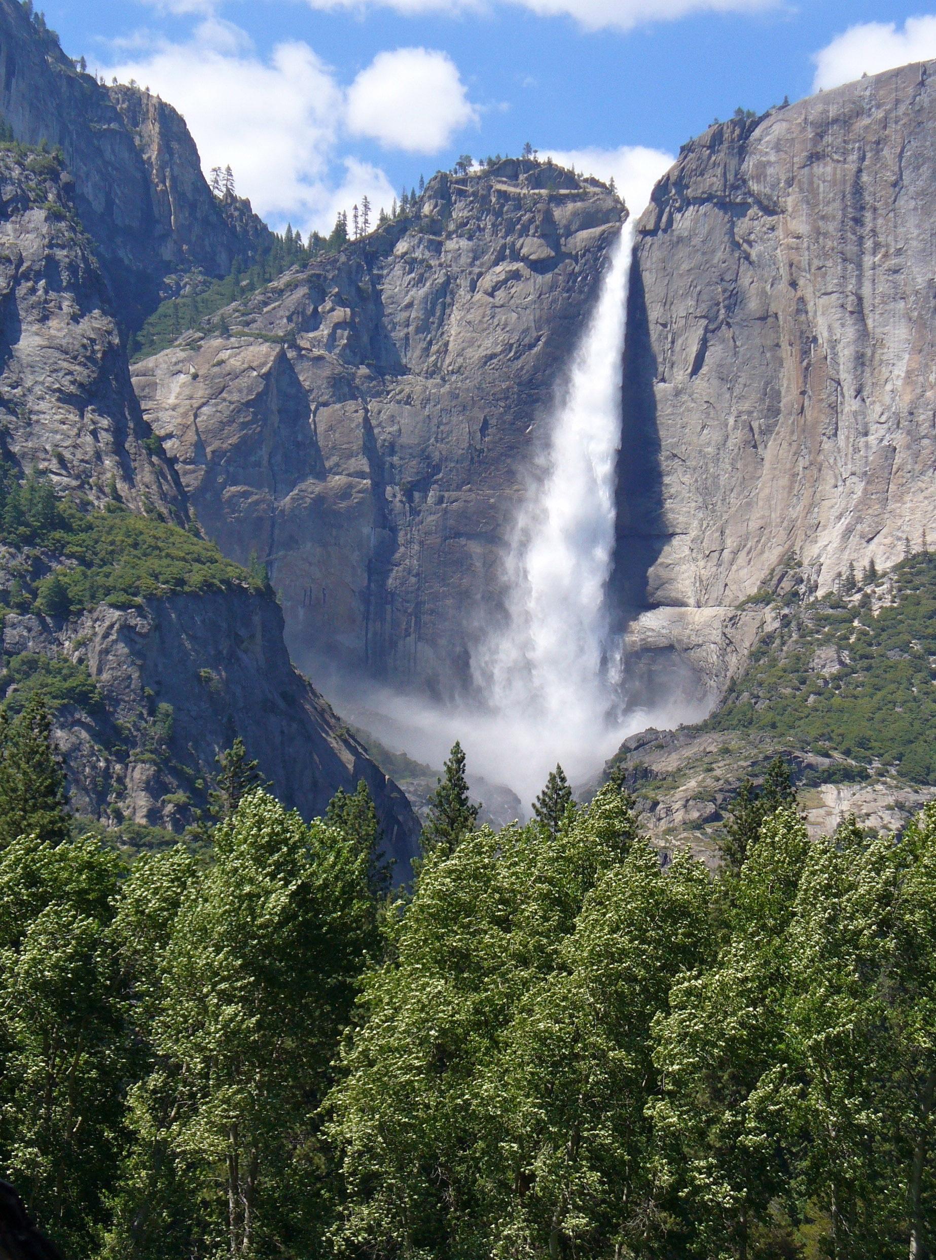
Looking beyond Mt Diablo? Discover San Joaquin Valley for broader travel guides, local hot-spots, and regional highlights.
Explore San Joaquin Valley