Hayward Regional Shoreline: A Bay Area Wetland Escape
Discover a revitalized wetland ecosystem at Hayward Regional Shoreline, offering miles of trails, diverse birdlife, and stunning bay views, a testament to ecological restoration.
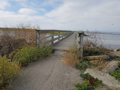
Escape the urban bustle at Hayward Regional Shoreline, a sprawling 1,841-acre park on the eastern edge of the San Francisco Bay. This unique ecosystem features a diverse mosaic of salt, fresh, and brackish water marshes, offering a haven for migratory birds and a tranquil retreat for nature enthusiasts. Explore five miles of gravel trails, perfect for hiking, biking, and birdwatching, with stunning views of the bay and surrounding hills. Once a landscape of salt production, the shoreline has been transformed into a thriving wetland, showcasing the power of ecological restoration. Whether you're seeking a peaceful stroll, a chance to spot rare bird species, or a glimpse into the Bay Area's natural history, Hayward Regional Shoreline provides a refreshing and educational experience.
A brief summary to Hayward Regional Shoreline Parking
- 2639 Grant Ave, San Lorenzo, Heron Bay, California, 94580, US
- Visit website
Local tips
- Bring binoculars for optimal birdwatching, as Hayward Regional Shoreline is a haven for diverse avian species, especially during migration seasons.
- Check the tide charts before visiting; low tide exposes mudflats teeming with shorebirds, while high tide offers different viewing opportunities.
- Wear layers and sun protection, as the shoreline can be windy and exposed, with limited shade available along the trails.
- Be aware of dog restrictions; dogs are not allowed south of Winton Avenue to protect sensitive wildlife habitats.
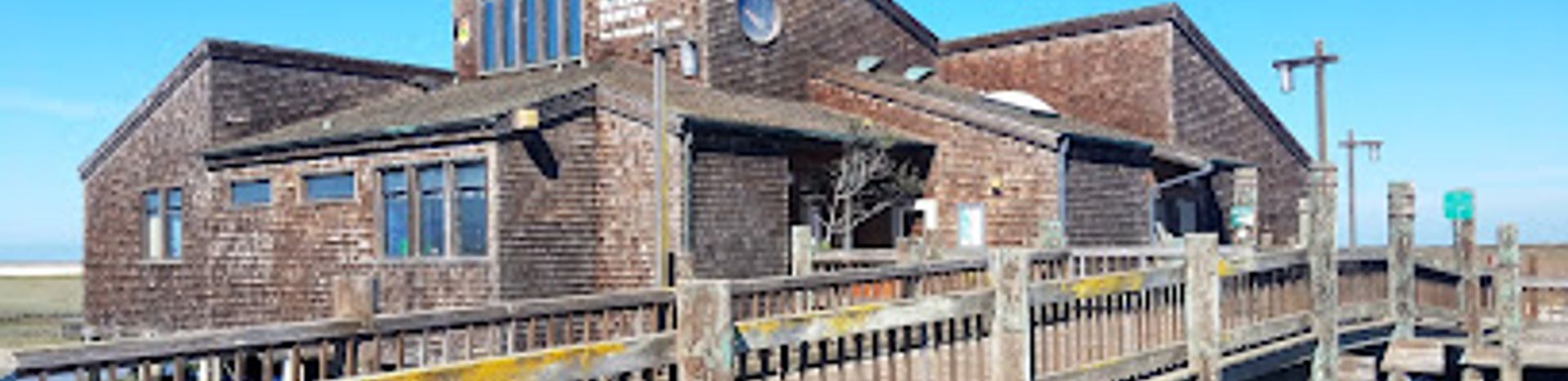
- Visit the Hayward Shoreline Interpretive Center (when open) to learn about the ecology and history of the area.
Getting There
-
Driving
From I-880, take the Washington Avenue exit. Head south on Washington Avenue, then turn right onto Grant Avenue. Continue on Grant Avenue until you reach the staging area, located on the right side of the road, approximately 100 yards from the end of Grant Avenue. Parking is free.
-
Public Transport
From Hayward or South Hayward BART stations, take AC Transit #86 to West Winton Avenue and Cabot Blvd. From there, it's approximately a 0.7-mile walk west into the park. A single ride on AC Transit costs $2.50. Confirm the bus schedule in advance.
-
Walking
If you are near the San Lorenzo Park and Community Center, head west on Grant Avenue. Continue along Grant Avenue until you reach the Hayward Regional Shoreline parking area. The walk is approximately 1 mile.
Discover more about Hayward Regional Shoreline Parking
Iconic landmarks you can’t miss
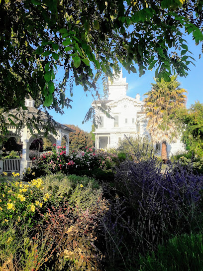
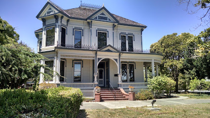
Meek Estate Carriage House
4.2 km
Step back in time at the Meek Estate Carriage House in Hayward, CA, and discover the rich history of this beautifully preserved 19th-century landmark and its vital role in the region's agricultural past.
San Leandro Oyster Beds
4.2 km
Explore the San Leandro Oyster Beds, a historical gem showcasing California's aquaculture heritage amidst serene natural beauty.
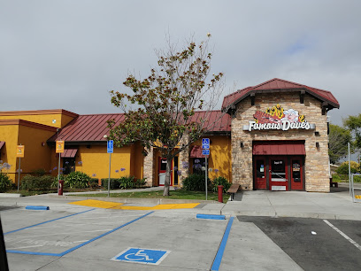
Famous Dave's Bar-B-Que
4.8 km
Experience authentic Southern barbecue at Famous Dave's Bar-B-Que in Hayward, California, where flavor meets tradition in a family-friendly atmosphere.
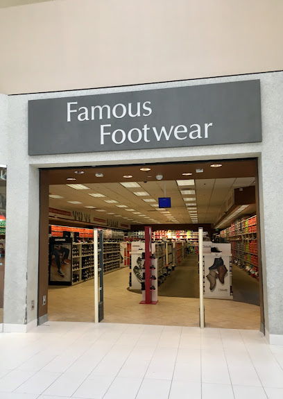
Famous Footwear
5.3 km
Discover fashionable footwear at Famous Footwear in Hayward, California, where budget-friendly prices meet stylish choices for the whole family.
Southland Mall
5.3 km
Explore Southland Mall in Hayward, California for an exceptional shopping experience with diverse stores, dining, and entertainment options.
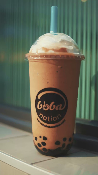
Boba Nation - Hayward
5.4 km
Discover the vibrant flavors of bubble tea at Boba Nation in Hayward, where fresh ingredients and unique combinations create a delightful experience.
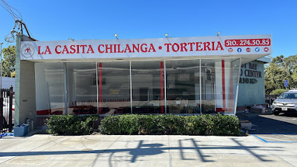
La Casita Chilanga
5.5 km
Discover the vibrant flavors of Mexico at La Casita Chilanga in Hayward, CA, where every meal is a celebration of authentic cuisine and culture.
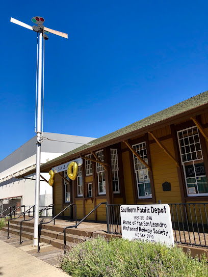
San Leandro Historical Railway Society
5.7 km
Explore railway history at the San Leandro Historical Railway Society, housed in a beautifully restored 1898 depot, featuring model trains and engaging exhibits for all ages.
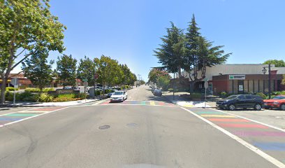
Rainbow Crosswalk (San Leandro - Washington & Parrott)
5.8 km
A vibrant symbol of San Leandro's commitment to diversity and inclusion, the Rainbow Crosswalk at Washington and Parrott welcomes all and celebrates the LGBTQ+ community.
The Sister's House
5.9 km
Discover authentic Korean flavors at The Sister's House in Hayward, where every dish brings you closer to Korean culinary traditions.
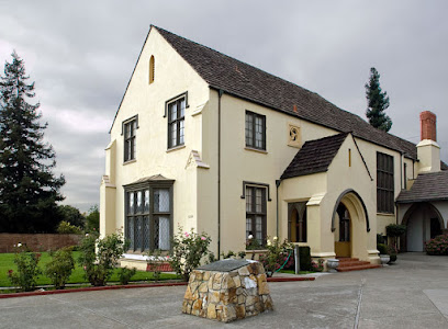
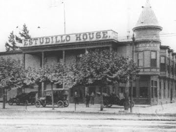
Estudillo Home (California Historical Landmark No. 279)
6.0 km
Explore the Estudillo Home, a California Historical Landmark in San Leandro, and immerse yourself in the rich history of the region.
San Leandro Historical Society
6.1 km
Discover San Leandro's captivating past at the Historical Society, housed in the charming Little Brown Church, where exhibits and events bring local history to life, preserving the city's unique heritage.
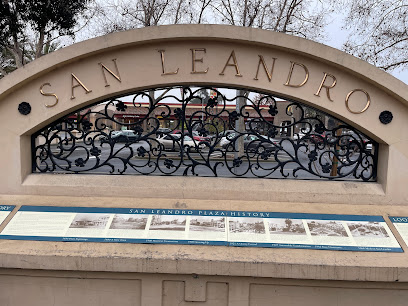
San Leandro Plaza History Display
6.1 km
Discover San Leandro's captivating past at the Plaza History Display, where artifacts and stories unveil the city's evolution from its early days to its vibrant present, nestled in the heart of Old San Leandro.
Hayward Station
6.2 km
Explore California effortlessly from Hayward Station, your gateway to the Bay Area's vibrant attractions and natural wonders.

Hayward BART Station
6.2 km
Discover the Bay Area's vibrant culture and attractions from the Hayward BART Station, your gateway to seamless travel and unforgettable experiences.
Unmissable attractions to see
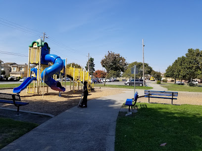
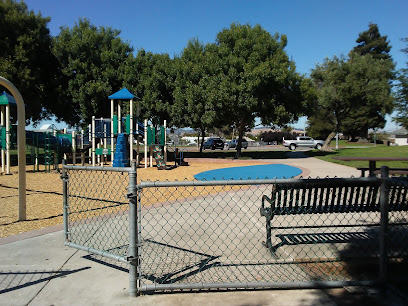
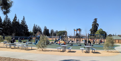
San Lorenzo Community Center Park
1.4 km
A vibrant community park in San Lorenzo offering recreation, events, and natural beauty for all ages to enjoy.
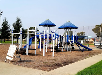
Stenzel Park
1.9 km
A vibrant San Leandro park with baseball fields, playgrounds, picnic spots, and walking paths for community fun and relaxation.
Mervin Morris Park
2.0 km
Discover a vibrant community park in San Lorenzo, CA, offering recreation, relaxation, and activities for all ages. Tennis, playgrounds, and more!
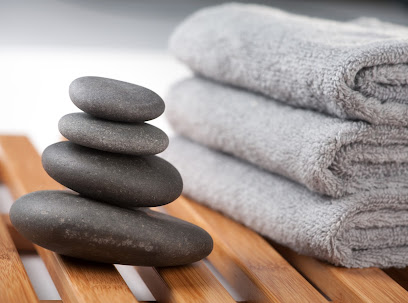
Rejuvenate You Wellness Spa
2.3 km
Renew your skin and spirit at Rejuvenate You Wellness Spa in San Lorenzo, offering personalized skincare and massage treatments for a radiant glow.
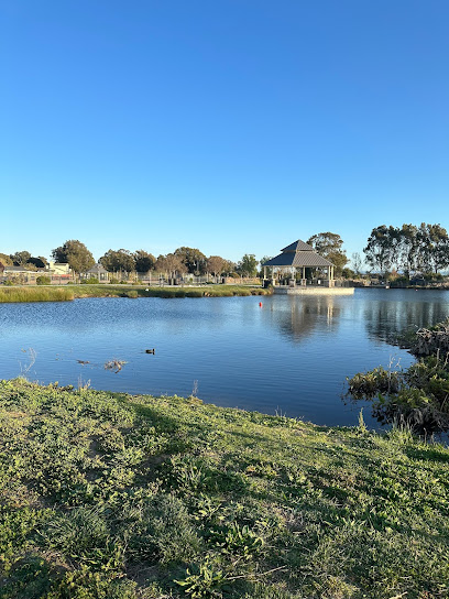
Hayward Regional Shoreline
2.6 km
Explore the serene beauty of Hayward Regional Shoreline, a perfect blend of nature, wildlife, and breathtaking views in California's Bay Area.
Bonaire Park
2.6 km
A charming San Leandro park with unique turf mounds, playgrounds for all ages, and perfect picnic spots for a relaxing day outdoors.
Washington Manor Park
2.9 km
A vibrant San Leandro park with aquatic fun, sports facilities, playgrounds, and picnic spots for memorable outdoor experiences.
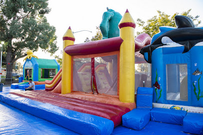
ABC Tree Farms & Pick of the Patch Pumpkins
2.9 km
A family-owned pumpkin patch in San Lorenzo offering seasonal fun, inflatable amusements, and memorable photo opportunities for all ages.
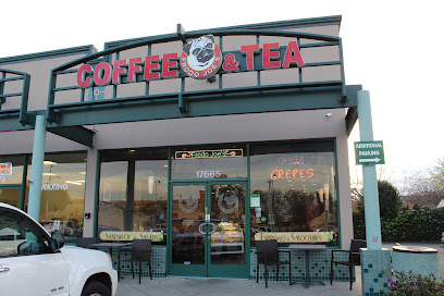
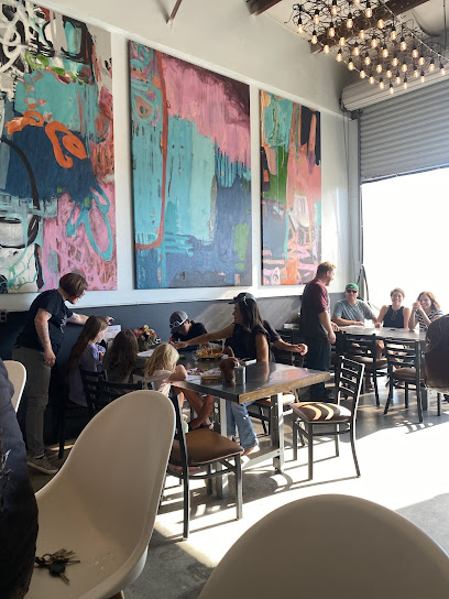
Frodo Joe's Coffee & Tea
3.0 km
A San Lorenzo favorite serving delicious crepes, coffee, and more in a cozy and inviting atmosphere. Open daily for breakfast, brunch, and lunch.
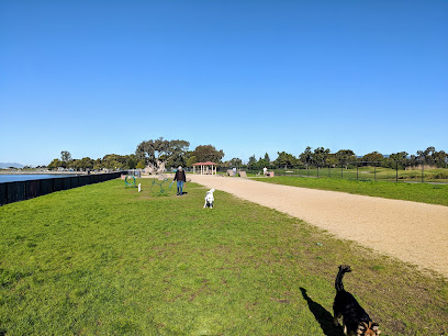
Marina Dog Park
3.1 km
A popular, well-equipped dog park in San Leandro's Marina Park, offering separate play areas and a friendly community for dogs and their owners.
McConaghy House
3.2 km
Discover the charm of the McConaghy House Museum in Hayward, California, a historical gem that showcases the region's rich heritage.
Kennedy Park
3.2 km
Experience the natural beauty and recreational charm of Kennedy Park, a family-friendly oasis in Hayward, California, perfect for relaxation and outdoor fun.
Marina Park
3.5 km
A scenic waterfront park in San Leandro offering recreational activities, bay views, playgrounds, and picnic spots for a perfect day out.
Via Toledo Park
3.7 km
A charming San Lorenzo park with playgrounds, walking paths, and picnic spots, perfect for family fun and community gatherings.
Meek Park
4.2 km
Explore Meek Park in Hayward, CA, a lush oasis featuring recreational areas, historical sites, and serene landscapes for an unforgettable outdoor experience.
Essential places to dine
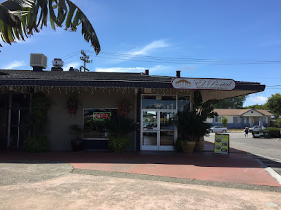
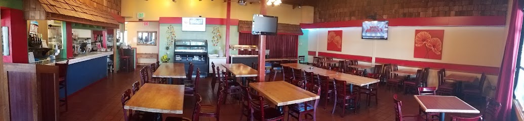
El Portal Restaurant
1.1 km
Experience authentic Mexican cuisine at El Portal Restaurant in San Leandro – where every dish tells a story!
Fresh Pizza
1.5 km
Discover the fusion of classic pizza with Filipino flavors at Fresh Pizza in San Lorenzo – where every bite tells a story.
Tao's Fresh
1.5 km
Discover the authentic taste of Asia at Tao's Fresh in San Lorenzo - where every bite is a celebration of flavor.
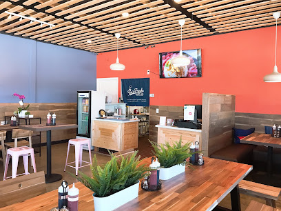
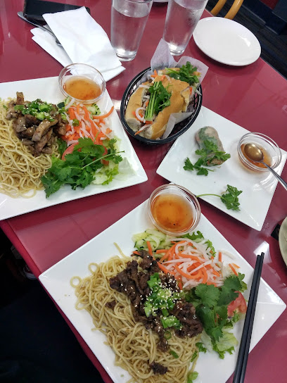
R & D Cafe
1.5 km
Discover authentic Vietnamese cuisine at R & D Cafe in San Lorenzo – where every dish tells a flavorful story.
Great Wall Restaurant
2.4 km
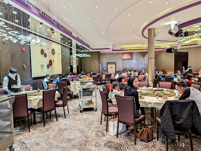
Experience authentic Chinese cuisine at Great Wall Restaurant in San Leandro—where flavor meets tradition at an affordable price.
Minami Sushi
2.7 km
Discover the authentic taste of Japan at Minami Sushi in San Leandro—where every bite is a celebration of freshness and flavor.
Fusion Delight
2.8 km
Experience the vibrant flavors of authentic Chinese cuisine at Fusion Delight in San Leandro - A culinary gem waiting for you.
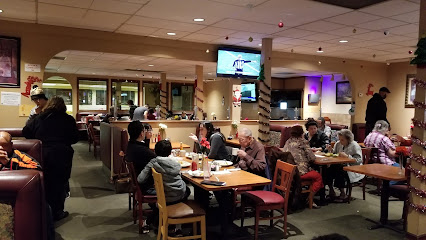
Manor Grill
2.8 km
Discover the charm of American cuisine at Manor Grill in San Leandro – where hearty breakfasts meet delightful dining experiences.
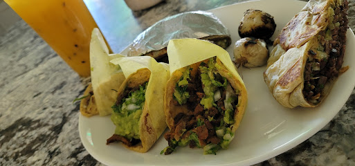
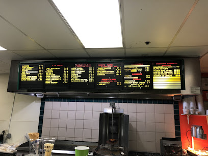
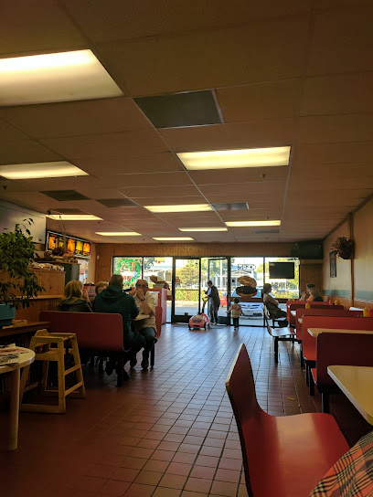
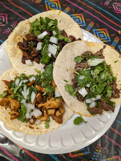
Tacos Mi Reynita
2.8 km
Discover Tacos Mi Reynita: A hidden gem in San Lorenzo serving authentic Mexican cuisine that will tantalize your taste buds.
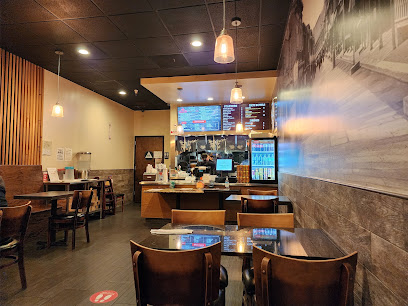
Ramen 101 SAN LEANDRO
2.8 km
Experience authentic Japanese flavors at Ramen 101 in San Leandro - your ultimate destination for delicious ramen dishes!
PaPa Pancho's Taqueria
2.9 km
Experience authentic Mexican cuisine at PaPa Pancho's Taqueria in San Lorenzo—where every bite tells a story.
Classic Burger
2.9 km
Discover mouth-watering burgers and affordable meals at Classic Burger in San Lorenzo – where flavor meets value!
Morenita Tacos
2.9 km
Experience the rich flavors of Mexico at Morenita Tacos - where every taco tells a story of tradition and taste.
Valos
2.9 km
Experience the charm of Valos in San Lorenzo – where family-friendly dining meets delicious cuisine.
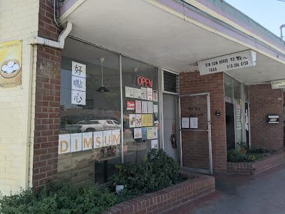
Dim Sum House
3.0 km
Discover authentic dim sum flavors at Dim Sum House in San Lorenzo – where culinary traditions meet modern taste.
Markets, malls and hidden boutiques
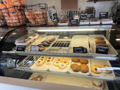
Too Good Gourmet
0.3 km
Indulge in a variety of gourmet cookies at Too Good Gourmet in San Lorenzo, where every bite is a delightful treat for cookie lovers.
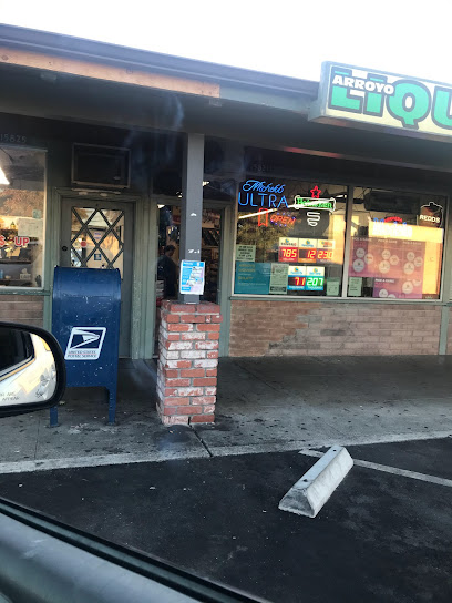
Arroyo Liquors
1.5 km
Explore Arroyo Liquors in San Lorenzo, CA, for a delightful selection of wines, craft beers, and spirits, perfect for every occasion.
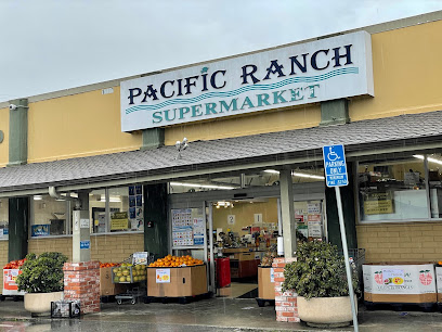
Pacific Ranch Supermarket
1.5 km
Explore a culinary paradise at Pacific Ranch Supermarket, where fresh produce, premium meats, and diverse international flavors await you.
Brewja Coffee
1.5 km
Discover Brewja Coffee, a charming San Lorenzo coffee shop with artisanal brews and a cozy atmosphere perfect for relaxation and local culture.
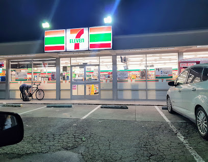
7-Eleven
2.2 km
Explore the convenience of 7-Eleven in San Lorenzo for all your travel essentials, snacks, and refreshments, open 24/7 for your comfort.
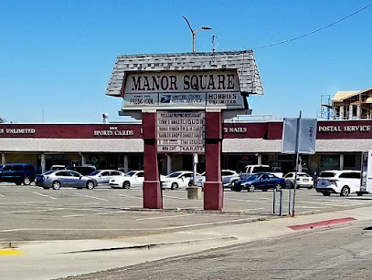
Manor Square
2.6 km
Discover the excitement of shopping and dining at Manor Square, a lively shopping mall in San Leandro, California.
La Panda by Christopher
2.7 km
Experience the delightful flavors of La Panda by Christopher, a charming bakery in San Lorenzo known for its artisanal treats and welcoming atmosphere.
Greenhouse Marketplace
2.7 km
Experience the lively shopping and dining at Greenhouse Marketplace in San Leandro, California, where local culture and diverse offerings await.
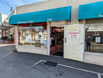
CELEBRATIONS AND GIFTS
2.9 km
Discover the charm of CELEBRATIONS AND GIFTS, your go-to novelty store for unique gifts, wedding essentials, and sweet treats in San Lorenzo, CA.
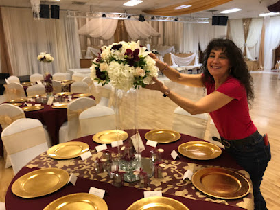
Sophia's Flowers
2.9 km
Experience the beauty of flowers at Sophia's Flowers, San Lorenzo's premier florist and event planner, offering stunning arrangements for every occasion.
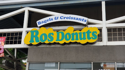
Ros Doughnuts
3.0 km
Experience the sweet bliss at Ros Doughnuts, San Lorenzo's favorite destination for delicious and freshly made donuts and desserts.
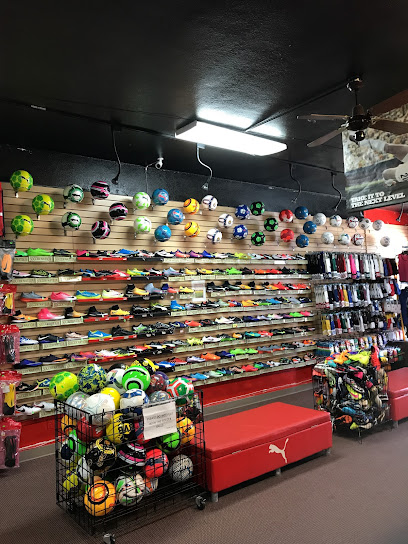
Soccer Nation & Faby's Fashion
3.0 km
Experience the ultimate soccer store and custom apparel shop in San Lorenzo, blending sports passion with trendy fashion.
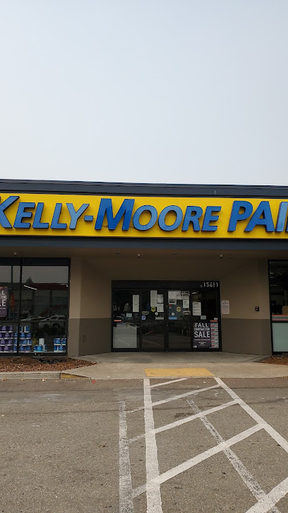
Kelly-Moore Paints
3.0 km
Discover the endless possibilities at Kelly-Moore Paints in San Lorenzo, CA – your go-to destination for quality paint and home improvement solutions.
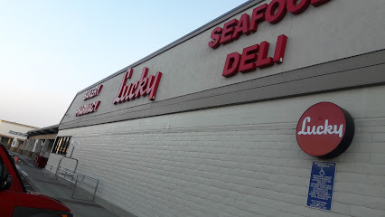
Lucky
3.0 km
Experience the vibrant flavors and quality products at Lucky, a beloved grocery store in San Lorenzo, CA, perfect for your culinary needs.
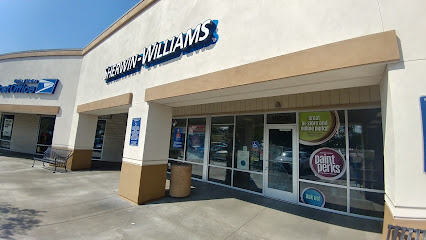
Sherwin-Williams Paint Store
3.0 km
Discover endless color possibilities at Sherwin-Williams Paint Store in San Lorenzo, CA – your go-to destination for all home improvement and painting needs.
Essential bars & hidden hideouts
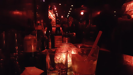
The Lit
2.4 km
Experience the vibrant atmosphere at The Lit, a lively bar in San Leandro, CA, perfect for drinks and socializing with locals.
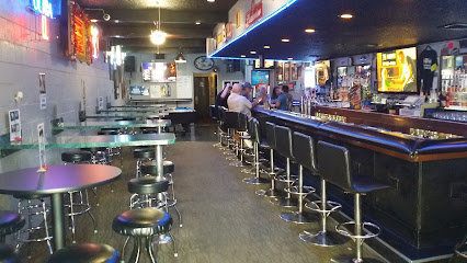
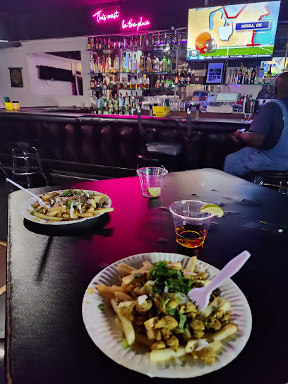
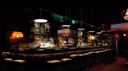
Ryan's
2.4 km
Experience the lively spirit of Ryan's Cocktail Bar in San Leandro, where every cocktail tells a story and every night is an adventure.
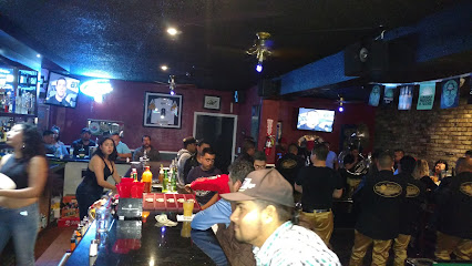
991 Club
2.6 km
Experience the vibrant nightlife at 991 Club in San Leandro, California, where great drinks and a welcoming atmosphere await every visitor.
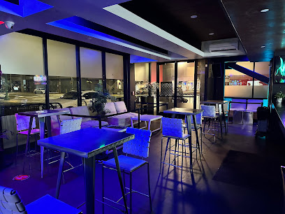
Wet lounge
3.2 km
Discover Wet Lounge in San Lorenzo: A friendly bar with affordable drinks and a lively atmosphere perfect for relaxation and socializing.
La Oficina #2
3.6 km
Experience the vibrant nightlife and signature cocktails at La Oficina #2, a popular bar in San Leandro, CA, perfect for socializing and relaxation.
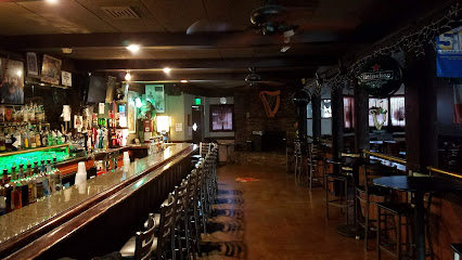
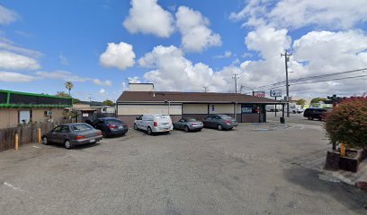
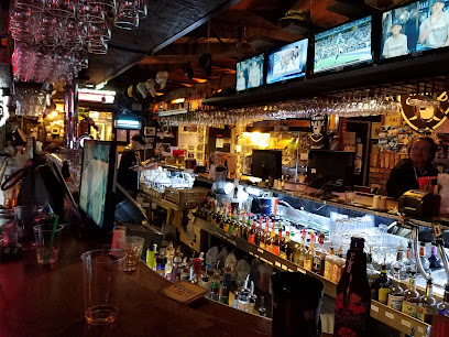
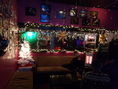
Johnny's
4.1 km
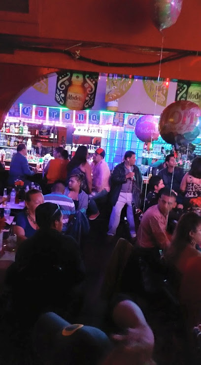
Discover Johnny's in Hayward, California - a cozy bar with a vibrant atmosphere, perfect for savoring local drinks and enjoying live entertainment.
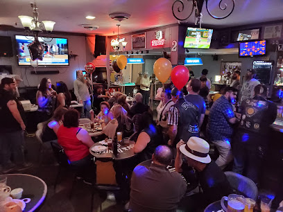
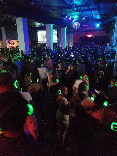
Why Not Lounge
4.3 km
Experience the vibrant nightlife at Why Not Lounge in Hayward, CA, featuring karaoke, dancing, and a unique hookah experience.
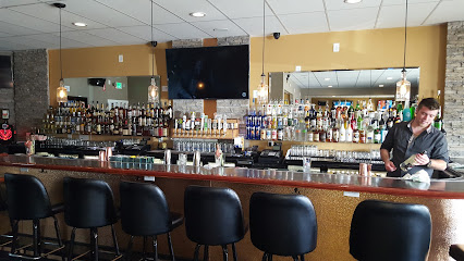
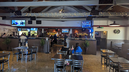
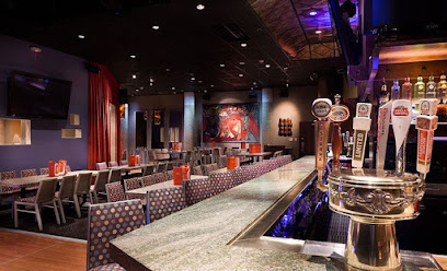
Frank's Sports Bar and Grill
4.4 km
Experience the ultimate sports bar atmosphere at Frank's Sports Bar and Grill in San Leandro, where great food and exciting games come together.
Coyote Bar
4.5 km
Experience the vibrant nightlife of San Leandro at Coyote Bar, where delicious drinks and a lively atmosphere await every night.
2 Lunas Bar & Night Club
4.5 km
Unleash the night at 2 Lunas Bar & Night Club, where music, dancing, and vibrant energy create unforgettable memories.
Rickey's Sports Lounge
4.6 km
Experience the ultimate sports bar atmosphere at Rickey's Sports Lounge, where great food meets exciting entertainment for the whole family.
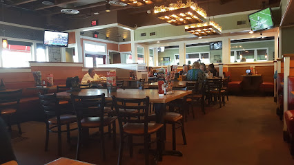
Chili's Grill & Bar
4.6 km
Experience the perfect blend of American and Tex-Mex cuisine at Chili's Grill & Bar in San Leandro, where flavor and fun meet.
Dark Horse Lounge
4.6 km
Discover the best sports bar experience at Dark Horse Lounge in Hayward, California – where delicious food, great drinks, and exciting games meet.
Sports Bar
4.7 km
Experience the exhilarating atmosphere of a local sports bar in Hayward, where fans unite to celebrate their teams with great food and drinks.
Blindwood Cider Company
4.9 km
Experience artisanal ciders and a serene atmosphere at Blindwood Cider Company in San Leandro, a haven for cider lovers and casual visitors.
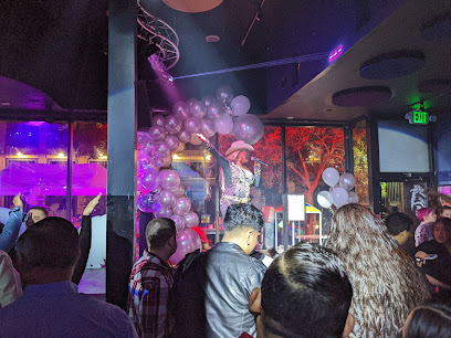
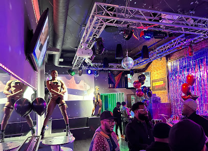
Nightclubs & after hour spots
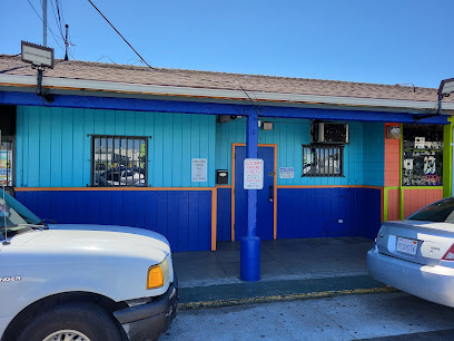
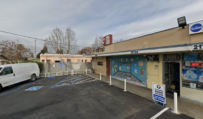
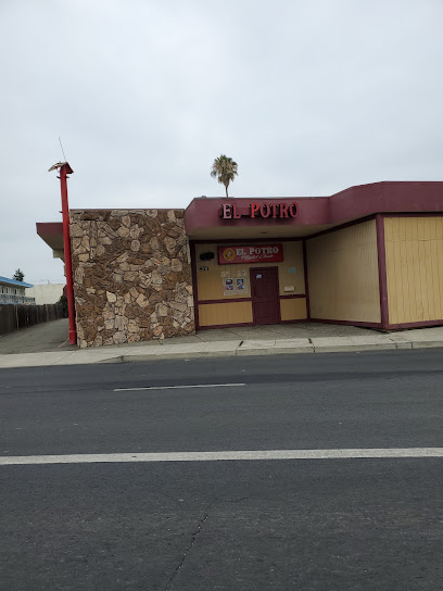
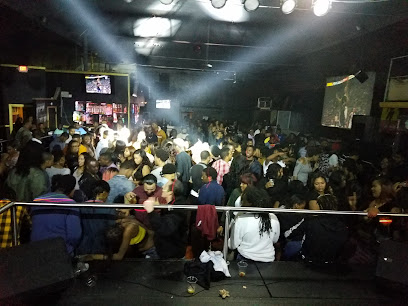
El Potro Club
3.7 km
Discover the vibrant nightlife of Hayward at El Potro Club, an adult entertainment venue offering electrifying performances and a lively atmosphere.
VIP Studios
6.8 km
Discover the electrifying nightlife at VIP Studios, a premier night club in San Leandro offering unforgettable music, dancing, and social experiences.
La Frontera Night Club
12.3 km
Experience the vibrant nightlife at La Frontera Night Club in Oakland, featuring live music, delicious food, and a lively atmosphere.
Lounge 3411
14.3 km
Discover the vibrant nightlife at Lounge 3411 in Oakland's Dimond District, featuring live Blues music and a cozy atmosphere for all.
The Clubhouse Bistro
15.9 km
Experience the vibrant nightlife at The Clubhouse Bistro in Foster City, where delicious food and great drinks come together for unforgettable evenings.
Ultra Music Studio
16.0 km
Discover the ultimate karaoke experience at Ultra Music Studio in Fremont, where every night is filled with music, laughter, and unforgettable moments.
Ruby Room
17.4 km
Experience vibrant nightlife at The Ruby Room in Oakland, where stylish decor meets delicious drinks and unforgettable memories.
Elbo Room Jack London
17.6 km
Discover the lively Elbo Room Jack London, Oakland's top night club and bar, offering a vibrant atmosphere, great music, and affordable drinks.
Level 13 Ultra Lounge
17.7 km
Immerse yourself in an upscale nightlife experience at Level 13 Ultra Lounge in Downtown Oakland, where elegance meets vibrant entertainment.
Lux Oakland
17.7 km
Immerse yourself in the vibrant nightlife of Oakland at Lux Oakland, where stylish ambiance and dynamic music create an unforgettable experience.
New Karibbean City
17.8 km
Discover New Karibbean City in Oakland: A vibrant night club and Caribbean restaurant with authentic Jamaican cuisine and live music for a memorable night out.
Parliament Event Venue
17.9 km
Discover the lively nightlife at Parliament Event Venue in Downtown Oakland, where great music and vibrant energy create unforgettable experiences.
Qué Rico Nightclub
17.9 km
Discover the vibrant nightlife of Qué Rico Nightclub, Oakland's premier gay bar and nightclub, offering great food, drinks, and unforgettable parties.
Summer Bar & Lounge
17.9 km
Dive into the nightlife at Summer Bar & Lounge, Oakland's top disco club offering dance, karaoke, and vibrant events in a lively atmosphere.
Fluid510
18.1 km
Discover the lively nightlife of Oakland at Fluid510, a vibrant lounge blending exquisite dining and a lively bar atmosphere.