From Eve
Know before you go
Hi, I'm Eve. Here are a few practical things to know before exploring Bay Bridge.
Local know-how to help you travel smarter and make the most of every moment.

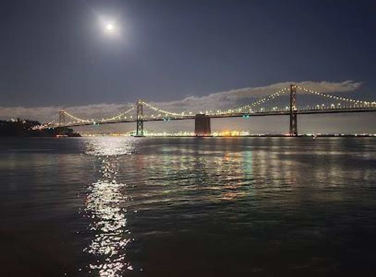
Experience an iconic landmark: connecting San Francisco & Oakland with breathtaking views, rich history, and dazzling light displays.
The Bay Bridge, officially the San Francisco-Oakland Bay Bridge, is a complex of bridges spanning San Francisco Bay, connecting San Francisco and Oakland. Opened in 1936, it's a vital transportation artery and an iconic landmark, carrying approximately 260,000 vehicles per day.
Opening times, essentials, and a few local tips gathered into one calmer, easier-to-scan planning section.
Hi, I'm Eve. Here are a few practical things to know before exploring Bay Bridge.
Local know-how to help you travel smarter and make the most of every moment.
Public Transport
From San Francisco, several public transportation options can get you close to the Bay Bridge. BART (Bay Area Rapid Transit) and AC Transit buses are convenient choices. Several bus lines, including the 12, 38R, F, NL, and W, stop near the Bay Bridge. From the East Bay, AC Transit provides direct service to San Francisco via the Transbay bus lines. A local ride on Transbay lines E, F, NL, O and 800 is permitted. Check AC Transit's website for schedules and routes. A single ride on AC Transit within San Francisco costs around $2.50. From Daly City Station, you can take the BART to Embarcadero station, then transfer to a tram to reach the waterfront near the bridge. Costs: * BART from Daly City to Embarcadero: ~$4-$6 * MUNI Tram: $2.50
Walking
If you are already near the Embarcadero in San Francisco, walking to a viewpoint of the Bay Bridge is a pleasant option. From the Ferry Building, head south along the Embarcadero. The walk to a good viewing point will take approximately 15-20 minutes. There are no specific costs involved.
Driving
If driving from San Francisco, take I-80 East towards Oakland. Be aware of tolls, which are collected in the westbound direction (towards San Francisco). As of July 2025, the toll for solo drivers is $8. Carpools (3+ people) pay $4 during carpool hours (weekdays 5:00 am - 10:00 am and 3:00 pm - 7:00 pm). Parking near the bridge in San Francisco can be limited and expensive. Consider using public transportation or a parking app like SpotHero to find and reserve a spot. If you are starting near the Bay Bridge Inn in Oakland, note that the Inn does not offer on-site parking. Limited five-hour parking is available from dawn until dusk at the Bay Bridge Trail parking lot at the Bridge Yard building at 210 Burma Road, approximately half a mile west of the intersection of Maritime Street and Burma Road. Costs: * Toll: $8 (westbound) * Parking: Metered parking rates in San Francisco vary, but expect to pay $2-$4 per hour.
Use Tower Bridge as your starting point for nearby food, family ideas, nightlife, and more local discoveries.

Explore expert travel guides, compare and book tours, experiences, hotels, and more—all from the palm of your hand. Download now for seamless trip planning wherever your wanderlust takes you.
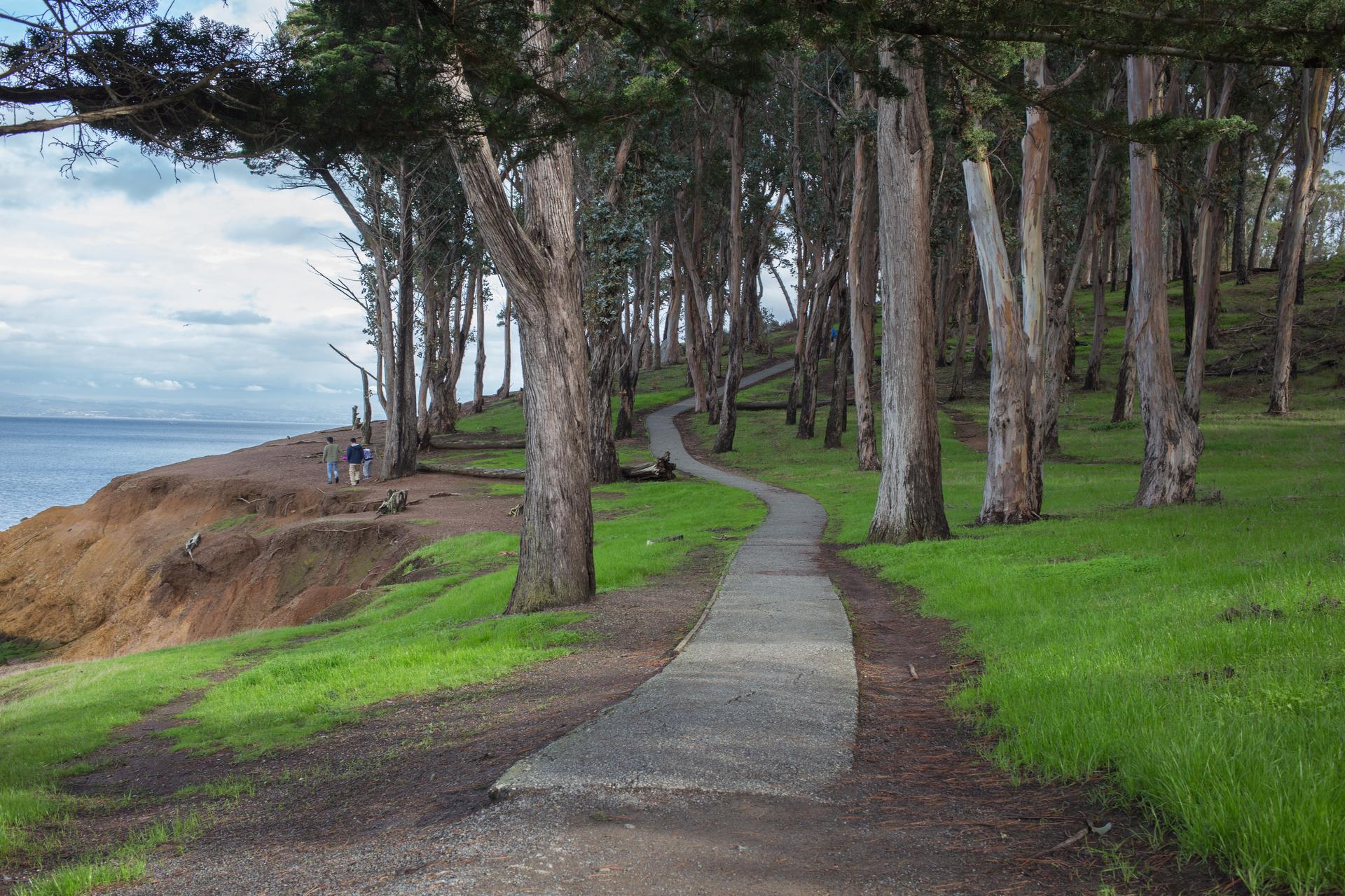
Discover San Mateo, a serene gem in California's Bay Area, offering a mix of historic charm, modern amenities, and abundant natural beauty.
Tell me more about San Mateo