No Hands Bridge, Sierra Nevada Travel Guide
Discover the historic No Hands Bridge in Auburn, CA: a landmark on the Western States Trail offering stunning views, rich history, and a testament to early engineering.
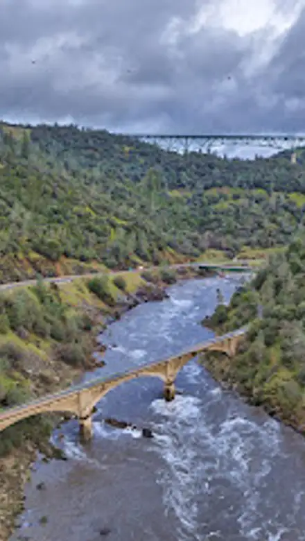
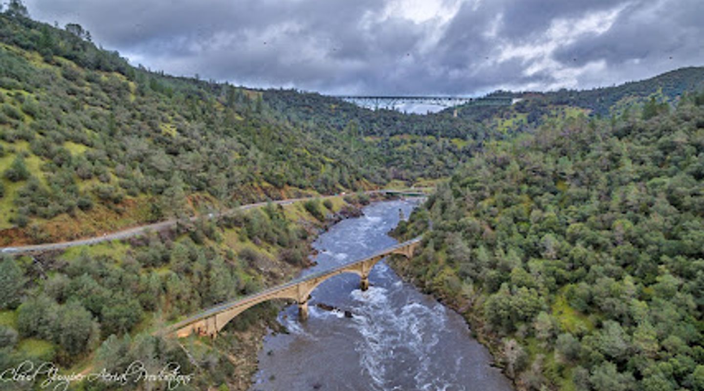
The No Hands Bridge, also known as the Mountain Quarries Railroad Bridge, is a historic concrete bridge near Auburn, California, that spans the American River. Built in 1912, it was once the longest concrete arch railroad bridge in the world. Today, it's a popular destination for hikers, runners, and equestrians, offering stunning views of the river canyon and surrounding landscape. The bridge is a testament to early 20th-century engineering and a reminder of the region's rich history, having survived floods and years of disuse. Its unique name and picturesque setting make it a must-see attraction for visitors to the Auburn State Recreation Area, providing a glimpse into California's past and a beautiful spot to enjoy the outdoors.
A brief summary to No Hands Bridge
- Trail to Calcutta Falls, Auburn, California, 95603, US
- Click to display

Know before you go
Hi, I'm Eve. Here are a few practical things to know before exploring No Hands Bridge.
- Bring water and sunscreen, as the trail offers limited shade, especially during the summer months.
- Wear sturdy shoes, as the trail can be rocky and uneven in places.
- Consider visiting during the spring or fall for milder temperatures and fewer crowds.
- Check the Auburn State Recreation Area website for any trail closures or alerts before your visit.
- Park at the Lower Quarry across from No Hands Bridge to avoid limited parking and potential fees.
Do you manage this location?
Take control to get all the benefits, like improved information, better appearance, and stronger visibility across AI-powered discovery. Learn more about listing your business on Evendo
Activate your presenceOther nearby places you may find interesting
The closest places of the same kind, if this one is not quite what you had in mind.
Explore No Hands Bridge on the Map
A handpicked selection of must-see spots near No Hands Bridge, mapped for you.
Getting There
-
Driving
From Auburn, take Highway 49 south towards Placerville. As you descend into the American River canyon, you'll see signs for the Auburn State Recreation Area. Cross the bridge over the American River. Immediately after crossing the river, turn right towards Cool. You'll find parking areas near Gate 150, the trailhead for the Western States Trail leading to the No Hands Bridge. Parking here requires a $10 day use fee.
-
Walking
If you're already at the American River Confluence, follow the Western States Trail. The trail is well-marked and relatively easy to navigate. From the confluence, it's a short walk to the No Hands Bridge. Be aware that the trail can be exposed to the sun, so bring water and wear appropriate clothing. The walk from the main parking area to the bridge is approximately 0.5 miles.
Discover more about No Hands Bridge













Your all‑in‑one travel companion app
Explore expert travel guides, compare and book tours, experiences, hotels, and more—all from the palm of your hand. Download now for seamless trip planning wherever your wanderlust takes you.


Explore More of Sierra Nevada
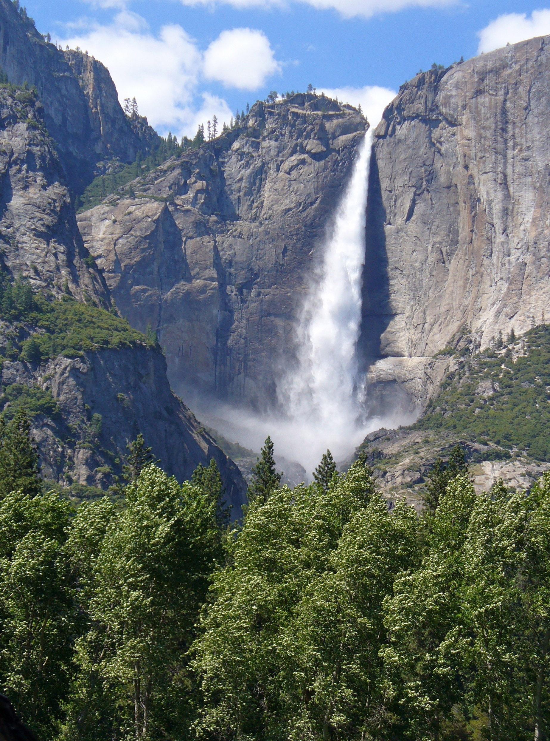
Looking beyond No Hands Bridge? Discover Sierra Nevada for broader travel guides, local hot-spots, and regional highlights.
Explore Sierra Nevada
Discover the historic Gold Discovery Site in Garden Valley, CA, where the Gold Rush began, and explore its rich legacy amidst stunning natural beauty.
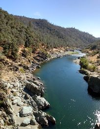
Explore the historic Mountain Quarries Railroad Bridge in Auburn, California, a remarkable landmark surrounded by breathtaking natural beauty.