Mount Sanitas Trailhead
Mount Sanitas Trailhead: A Boulder Icon
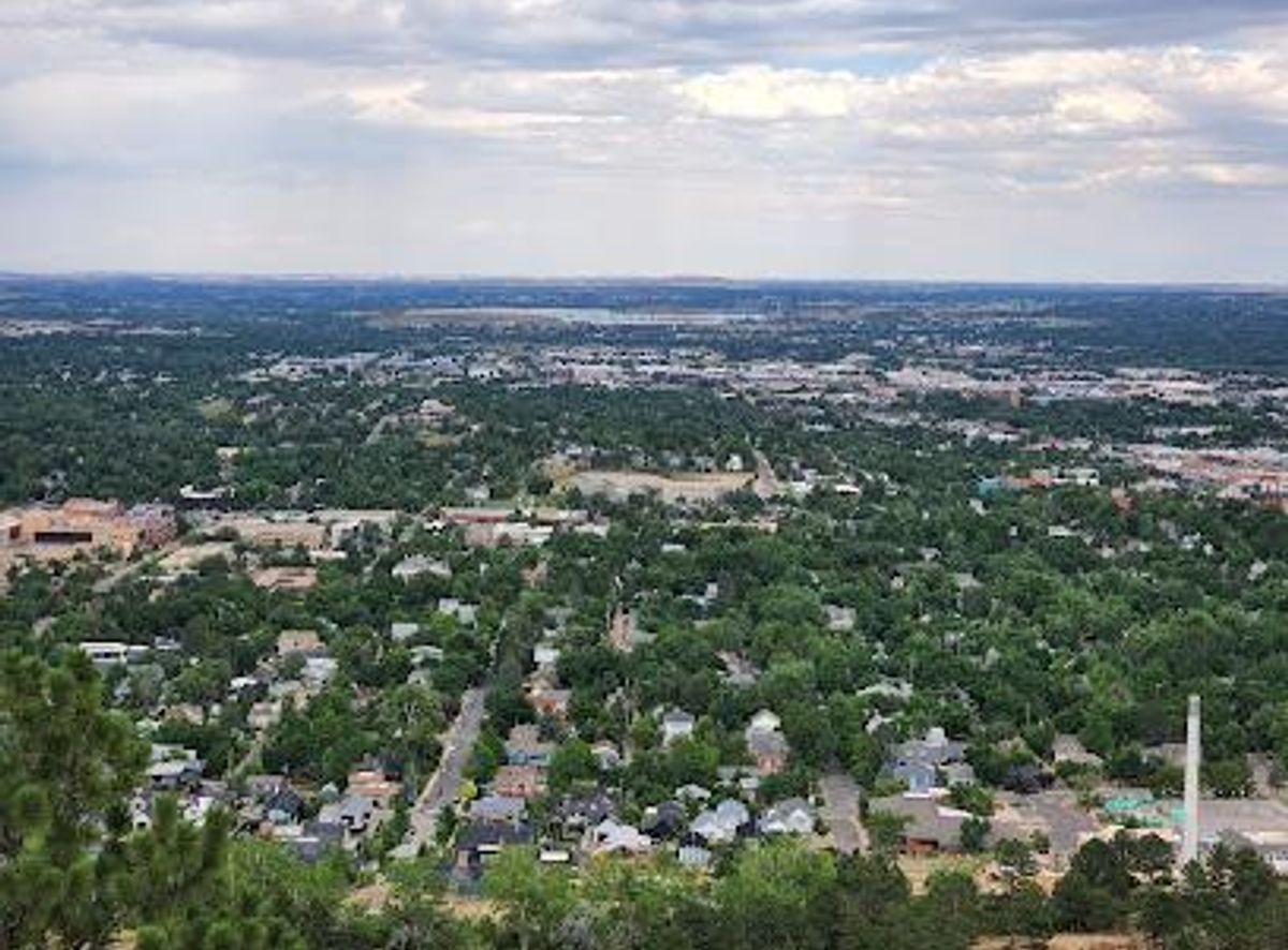
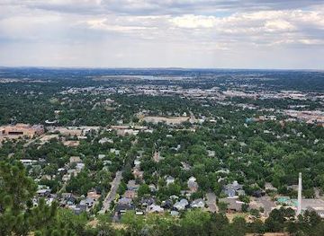
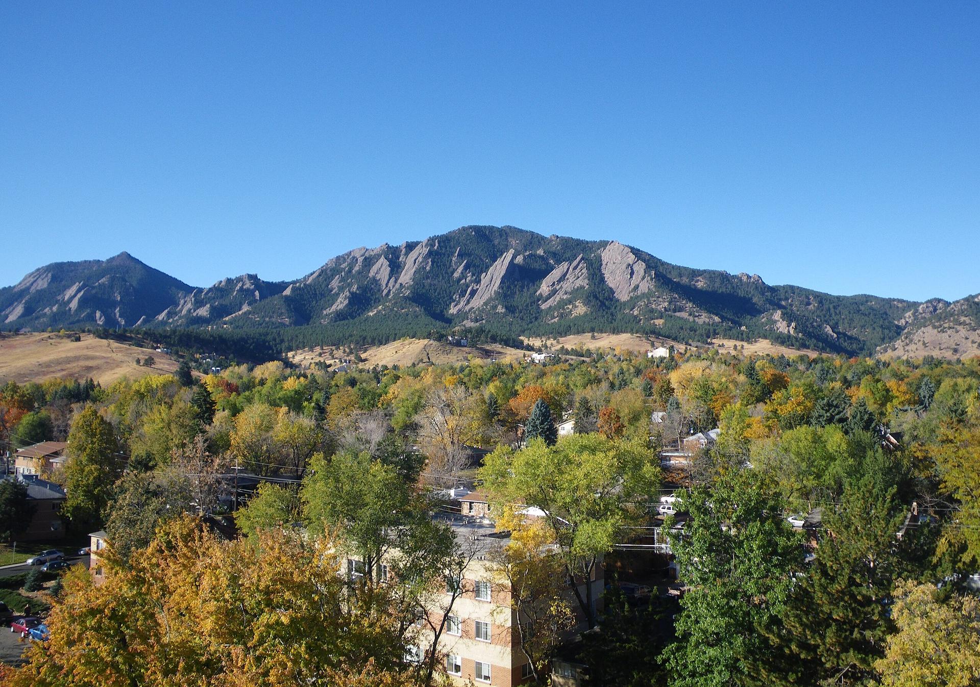
Hike Boulder's iconic Mount Sanitas for a challenging climb with rewarding panoramic views of the city and surrounding Front Range.
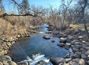
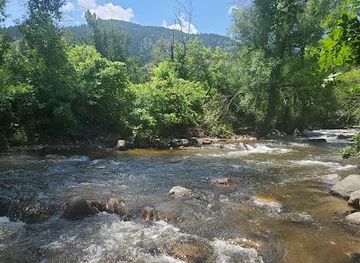
Mount Sanitas Trailhead, located in Boulder, Colorado, is the starting point for a popular and challenging hike known for its steep inclines and rewarding panoramic views. The trail offers a vigorous workout with a mix of rocky terrain and significant elevation gain, making it a favorite among locals and visitors seeking a quick but intense outdoor experience.
Opening times, essentials, and a few local tips gathered into one calmer, easier-to-scan planning section.
Walking
From downtown Boulder, walk west along Mapleton Avenue towards the foothills. Continue past 4th Street, and you'll find the Centennial Trailhead on your right, across Sunshine Canyon Drive from the Mount Sanitas Trailhead. Cross the road to access the trail. No costs involved.
Public Transport
Take the SKIP, 208, or Y bus routes to the Broadway and Mapleton stop. From there, it's a nine-block walk west on Mapleton Avenue to the trailhead. Cross Sunshine Canyon Drive to reach the Mount Sanitas Trailhead. A single ride on these bus routes typically costs $3.00.
Driving
From Denver, take US-36 North to Boulder. Exit onto Baseline Road and turn left (west). Continue on Baseline, then turn right onto 4th Street, followed by a left onto Mapleton Avenue. The Centennial Trailhead parking lot is on the right, just past 4th Street. Parking is free, but the lot fills up quickly, especially on weekends. Street parking is available along Mapleton Avenue and surrounding streets.
Use Tower Bridge as your starting point for nearby food, family ideas, nightlife, and more local discoveries.

Explore expert travel guides, compare and book tours, experiences, hotels, and more—all from the palm of your hand. Download now for seamless trip planning wherever your wanderlust takes you.
Explore Boulder, Colorado: A captivating blend of natural beauty, outdoor adventures, and cultural richness nestled at the foothills of the Rocky Mountains.
Tell me more about Boulder