
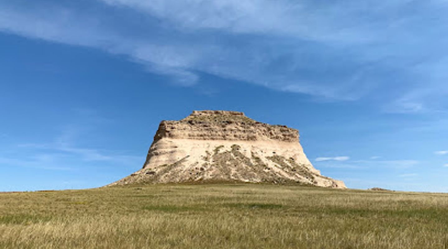
Pawnee Buttes Trailhead, Eastern Plains Travel Guide
Experience the breathtaking landscapes and unique geological formations at Pawnee Buttes Trailhead, a hiker's paradise in Colorado.
Nestled in the heart of Colorado, the Pawnee Buttes Trailhead offers an unforgettable outdoor experience for tourists and hiking enthusiasts alike. With stunning views and unique geological formations, this location is a must-see for nature lovers.
A brief summary to Pawnee Buttes Trailhead
- Grover, Colorado, 80729, US
- Click to display

Know before you go
Hi, I'm Eve. Here are a few practical things to know before exploring Pawnee Buttes Trailhead.
- Bring plenty of water and snacks, as there are no facilities near the trailhead.
- Visit during sunrise or sunset for stunning photography opportunities.
- Wear sturdy hiking boots to navigate the varied terrain comfortably.
- Keep an eye out for local wildlife, including birds and deer, especially in the early morning or late afternoon.
- Check the weather forecast before your visit, as conditions can change rapidly in the area.
Do you manage this location?
Take control to get all the benefits, like improved information, better appearance, and stronger visibility across AI-powered discovery. Learn more about listing your business on Evendo
Activate your presenceOther nearby places you may find interesting
The closest places of the same kind, if this one is not quite what you had in mind.
Explore Pawnee Buttes Trailhead on the Map
A handpicked selection of must-see spots near Pawnee Buttes Trailhead, mapped for you.
Getting There
-
Car
If you are traveling by car, start from the nearest city, Sterling, CO. Head east on US-6 E for about 30 miles. You will then merge onto CO-113 N towards Grover. Continue on CO-113 for approximately 20 miles, passing through the small town of Grover. The trailhead is located about 4 miles east of Grover along County Road 100, which will be on your right. Look for signs indicating the Pawnee Buttes Trailhead.
-
Public Transportation
Using public transportation can be challenging in this remote area, as options are limited. You can take a Greyhound bus to Sterling, CO. From Sterling, you will need to arrange for a taxi or rideshare service to reach Grover, which is about 30 miles away. Once in Grover, you can follow the same directions as above to reach the Pawnee Buttes Trailhead, which is about 4 miles east of Grover along County Road 100.
-
Bicycle
If you are an adventurous cyclist, you can bike to the trailhead from Grover. The ride is approximately 4 miles along County Road 100. Ensure you have proper gear, as the road may be unpaved and can pose challenges for cyclists. Always wear a helmet and follow traffic rules.
-
Walking
Walking to the Pawnee Buttes Trailhead is not recommended due to the distance and lack of sidewalks or pedestrian paths. However, if you are staying in Grover, you can walk to the trailhead, which is about 4 miles east along County Road 100. Be cautious of traffic and ensure you have plenty of water and sun protection.
Discover more about Pawnee Buttes Trailhead
More to explore near Pawnee Buttes Trailhead













Your all‑in‑one travel companion app
Explore expert travel guides, compare and book tours, experiences, hotels, and more—all from the palm of your hand. Download now for seamless trip planning wherever your wanderlust takes you.


Explore More of Eastern Plains
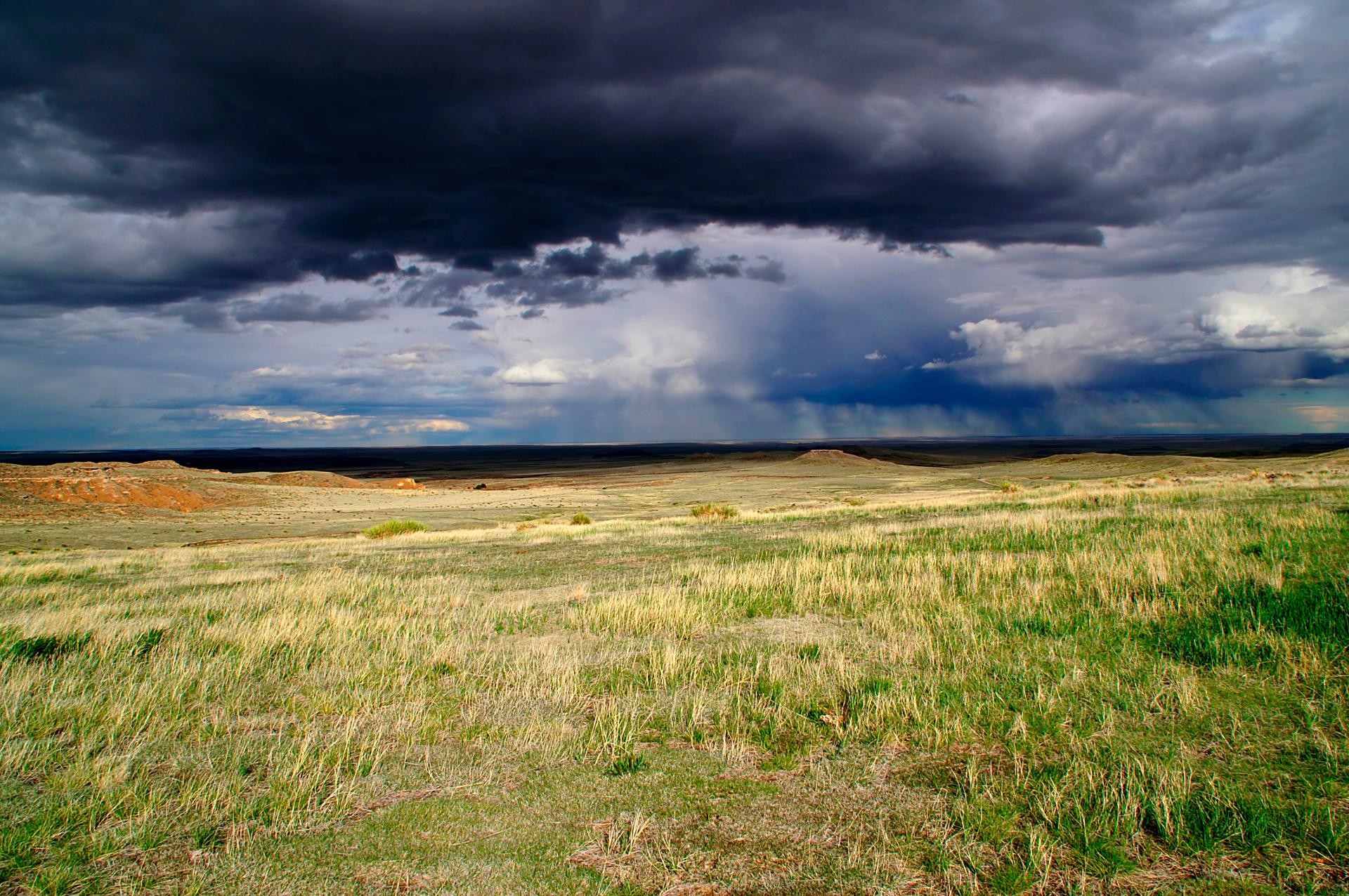
Looking beyond Pawnee Buttes Trailhead? Discover Eastern Plains for broader travel guides, local hot-spots, and regional highlights.
Explore Eastern Plains
Explore the Conrad Luft Sr. House, a captivating historical landmark in Sterling, Colorado, showcasing the region's rich architectural heritage.
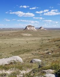
Discover the serene landscapes and abundant wildlife at Pawnee National Grassland, a prime destination for nature lovers and outdoor enthusiasts in Colorado.
