From Eve
Know before you go
Hi, I'm Eve. Here are a few practical things to know before exploring Blue Lakes Trailhead.
Local know-how to help you travel smarter and make the most of every moment.
Discover turquoise alpine lakes and breathtaking mountain views on this popular hiking trail near Telluride, Colorado. A Rocky Mountain paradise!
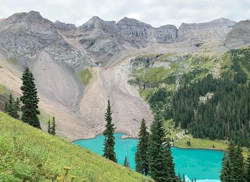
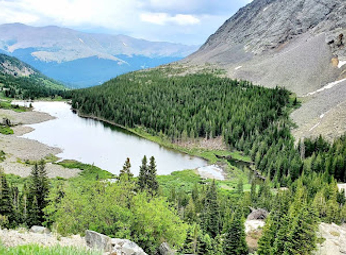
The Blue Lakes Trailhead, near Telluride, Colorado, provides access to a stunning trail system leading to three turquoise alpine lakes nestled in the Mount Sneffels Wilderness. It's a popular destination for hikers seeking breathtaking mountain scenery and pristine alpine environments.
Opening times, essentials, and a few local tips gathered into one calmer, easier-to-scan planning section.
Hi, I'm Eve. Here are a few practical things to know before exploring Blue Lakes Trailhead.
Local know-how to help you travel smarter and make the most of every moment.
Driving
From Telluride, drive west on CO-145 for approximately 12.7 miles to Placerville. Turn right onto CO-62 East and continue for 18.6 miles to County Road 7, marked Dallas Creek. Turn right onto CR-7 and follow it for 9 miles to the trailhead. The road starts paved but quickly turns into dirt. The last few miles tend to get washed out a bit but with slow travel, there should not be issues getting to the TH. Parking is free. The parking lot can fit about 20 cars and on most weekends will be very busy. There is additional parking along the road, but always park responsibly and do not block the road from emergency vehicles accessing the trailhead.
Use Tower Bridge as your starting point for nearby food, family ideas, nightlife, and more local discoveries.

Explore expert travel guides, compare and book tours, experiences, hotels, and more—all from the palm of your hand. Download now for seamless trip planning wherever your wanderlust takes you.
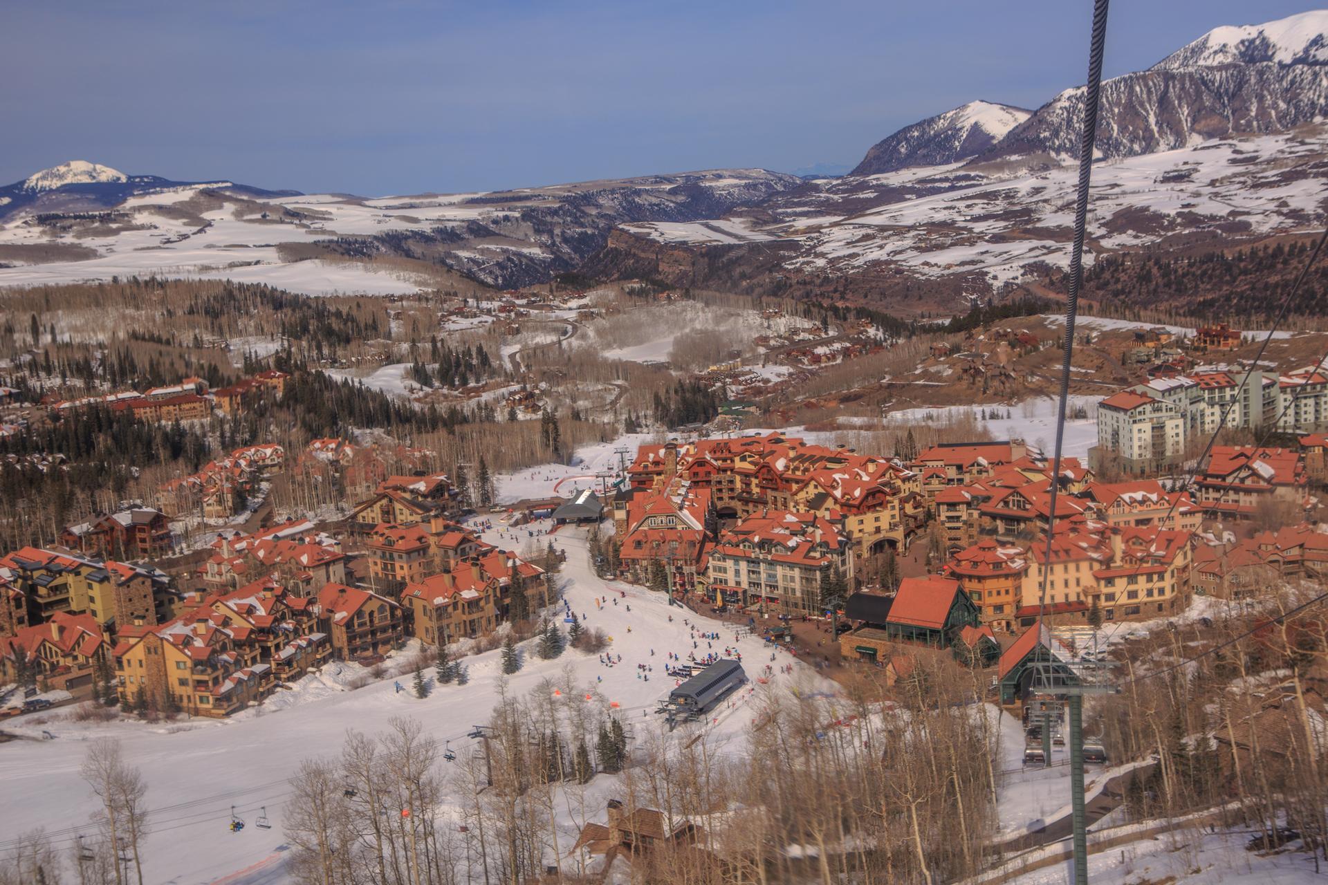
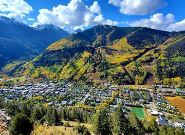
Discover Telluride: A picturesque mountain town in Colorado offering outdoor adventures, cultural festivals, and historic charm in the stunning San Juan Mountains.
Tell me more about Telluride