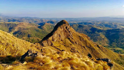
Sierra de Tilarán: Costa Rica's Mountainous Backbone
Explore the scenic Sierra de Tilarán in Costa Rica: a haven for hiking, nature, and stunning panoramic views.
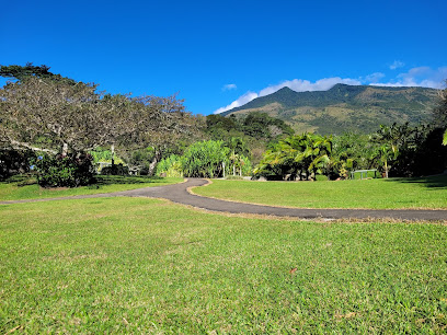
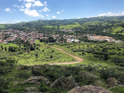
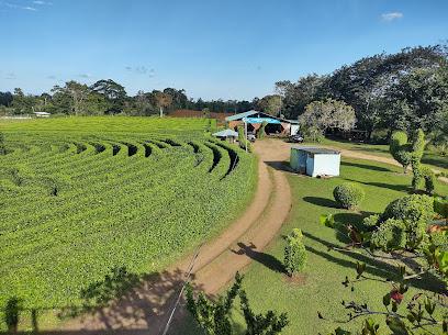
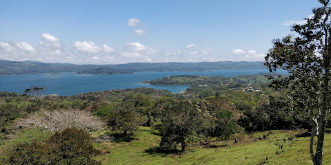
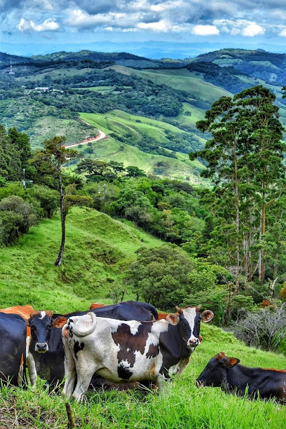
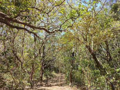
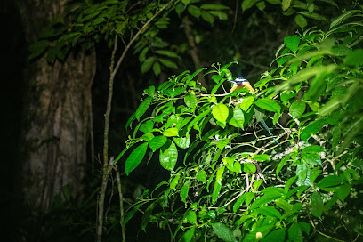
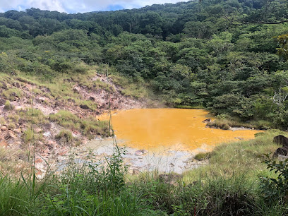
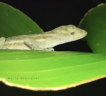
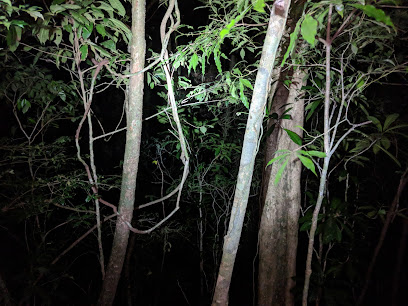
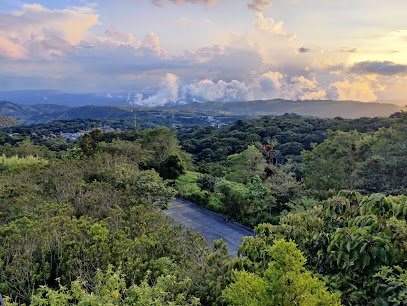
The Sierra de Tilarán, also known as Cordillera de Tilarán, is a mountain range in Costa Rica that forms a vital link between the Cordillera de Guanacaste and the Montes del Aguacate. This range offers stunning landscapes and diverse ecosystems, making it a haven for nature lovers and adventure seekers.
A brief summary to Sierra de Tilarán
- Guatuso, Alajuela Province, CR
Local tips
- Bring layers, as the temperature can change quickly due to the elevation and cloud cover.
- Wear sturdy hiking shoes for exploring the trails, which can be steep and uneven.
- Carry water and snacks, especially if you plan on hiking, as there are limited facilities within the mountain range.
- Check the weather forecast before you go, as heavy rain can make trails slippery and views obscured.
- Consider hiring a local guide for a more in-depth understanding of the area's flora, fauna, and history.
Getting There
-
Bus
From Guatuso, take the local bus towards Tilarán. The bus from Guatuso to Tilarán costs approximately $1-$4 USD and takes about 2-3 hours. From Tilarán, local buses or taxis can take you closer to specific trailheads or viewpoints within the Sierra de Tilarán. Alternatively, buses from San José to Tilarán are available from the Pulmitan de Liberia station. The trip takes approximately 4 hours and costs around $11 USD. From Tilarán, connect to local transport to reach specific points in the Sierra.
-
Taxi
From Guatuso, a taxi to the base of Sierra de Tilarán will cost approximately $65-$80 USD and take around 30-45 minutes. This is a more direct option, especially if you are traveling with a group or have limited time. Negotiate the fare before starting your journey. From Tilarán, a taxi to trailheads within the Sierra will be cheaper, costing around $10-$20 USD depending on the distance.
Discover more about Sierra de Tilarán
Iconic landmarks you can’t miss
Sierra de Tilarán
0.0 km
Explore the scenic Sierra de Tilarán in Costa Rica: a haven for hiking, nature, and stunning panoramic views.

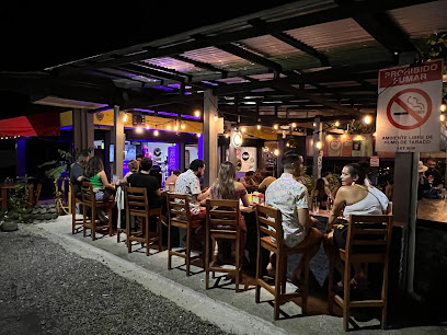
Sea Salt , Sea Food Restaurant and bar
11.9 km
Experience fresh seafood and vibrant coastal dining at Sea Salt in El Aguacate, Guanacaste. Enjoy local flavors and tropical cocktails!
Tilawa Windsurf Center
15.1 km
Experience world-class windsurfing on Lake Arenal at Tilawa Windsurf Center, surrounded by Costa Rica's stunning natural beauty.
Cabinas El Tunel
18.3 km
Experience comfort and convenience at Cabinas El Tunel, your gateway to the natural wonders of Tilarán, Costa Rica.
Camping La Tronadora
18.4 km
Escape to nature at Camping La Tronadora on Lake Arenal: stunning views, wildlife, and outdoor adventures await in Costa Rica.
Restaurante Brisas del Lago
18.4 km
Enjoy authentic Costa Rican cuisine with breathtaking views of Lake Arenal at Restaurante Brisas del Lago in Tilarán.
Monte Terras
19.0 km
Escape to Monte Terras in Tronadora: Lakeside serenity, volcano views, and Costa Rican hospitality await your tranquil getaway.
Miravalles Jorge Manuel Dengo National Park
19.4 km
Discover Costa Rica's geothermal wonderland: Hike amidst volcanic landscapes, explore diverse ecosystems, and witness nature's power at Miravalles National Park.
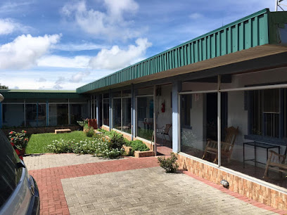
Hotel Cielo Azul Resort
20.5 km
Experience comfort and convenience in the heart of Tilarán, Costa Rica, with easy access to Lake Arenal and other natural attractions.
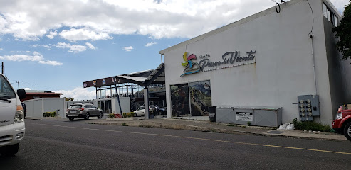
Plaza Paseo del Viento
21.0 km
Experience local culture, shopping, and dining at Plaza Paseo del Viento in Tilarán, Guanacaste. A vibrant hub for tourists and locals alike.
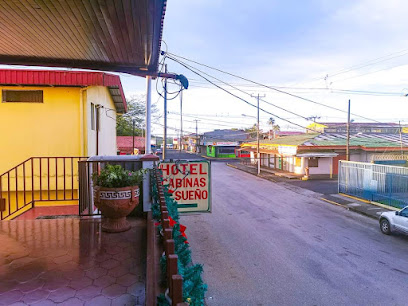
Hotel y cabinas el sueño
21.1 km
Experience comfort and convenience at Hotel y Cabinas El Sueño in Tilarán, your perfect base for exploring Costa Rica's Lake Arenal region.
Playa Tila
21.2 km
Experience a unique beach vibe in the mountains of Tilarán, Costa Rica, with delicious food, drinks, and a relaxed atmosphere near Lake Arenal.
Domingo Flaqué Montull Park
21.2 km
Discover tranquility in Tilarán's central park, a green escape with vibrant flora, family-friendly spaces, and local charm.
Hotel Naralit
21.3 km
Experience Costa Rican hospitality in the heart of Tilarán, your gateway to Lake Arenal and adventure.
Cerro Tovar, Parque del Viento
21.5 km
Discover Cerro Tovar in Parque del Viento: panoramic views, refreshing breezes, and a tranquil escape near Tilarán, Costa Rica.
Unmissable attractions to see
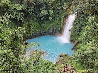
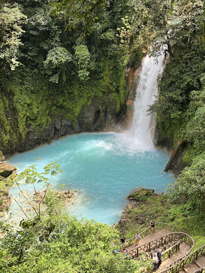
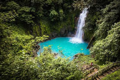
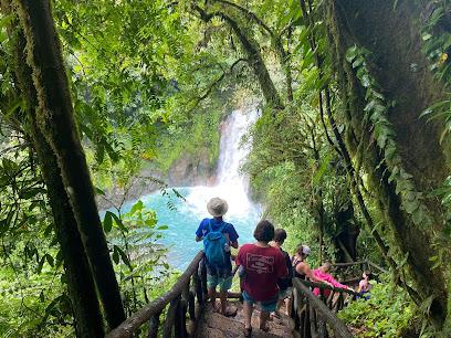
Catarata Río Celeste
5.1 km
Experience the breathtaking beauty of Catarata Río Celeste, a stunning turquoise waterfall nestled in the heart of Costa Rica's lush rainforest.
Parque Nacional Volcán Tenorio
5.7 km
Experience the breathtaking landscapes and enchanting blue waters of Parque Nacional Volcán Tenorio in Costa Rica's Guanacaste Province.
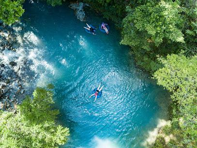
Rio Celeste y Los Teñideros
6.4 km
Experience the breathtaking beauty of Rio Celeste y Los Teñideros, where turquoise waters and lush rainforests create an unforgettable Costa Rican adventure.
Rio Celeste Nature
6.5 km
Discover the breathtaking turquoise waters and lush landscapes of Rio Celeste Nature, a must-visit eco-adventure in Costa Rica's Alajuela Province.
Rio Celeste by Chris Tours
8.6 km
Experience the breathtaking beauty of Rio Celeste with expert guides at Chris Tours, where adventure meets Costa Rica's stunning natural wonders.
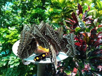
Jardin y Mariposario Peniél
9.9 km
Discover a serene butterfly farmstay in Costa Rica's Bijagua de Upala, surrounded by lush nature and vibrant biodiversity.
Spring Paradise Bijagua..Your Natural Experience!
9.9 km
Experience the natural beauty and tranquility of Spring Paradise Bijagua, a premier eco-tourism destination in Costa Rica's lush landscapes.
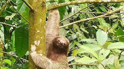
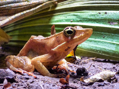
Frog's Paradise
11.0 km
Discover the enchanting biodiversity of Frog's Paradise in Bijagua, where nature and adventure come together for an unforgettable experience.
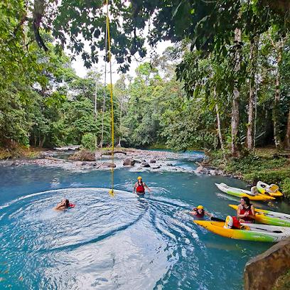
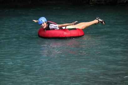
Rio Celeste Aventuras - Tubing Rio Celeste
11.7 km
Experience thrilling tubing adventures on Costa Rica's mesmerizing turquoise river, surrounded by lush rainforest and exotic wildlife.
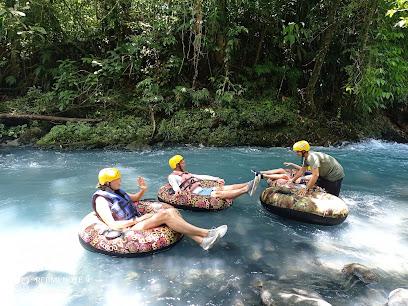
Tubing Tour Rio Celeste Nature
12.4 km
Embark on an unforgettable tubing adventure at Rio Celeste in Alajuela Province, Costa Rica, surrounded by breathtaking landscapes and vibrant wildlife.
Rio Celeste Experience
13.3 km
Experience the breathtaking beauty of Rio Celeste, a vibrant turquoise river nestled in the heart of Costa Rica's lush landscapes, perfect for nature lovers.
Laberinto Katira
13.4 km
Discover the enchanting Laberinto Katira in Alajuela, Costa Rica, where adventure meets nature in a captivating maze experience for all ages.
Catamarán Tucán Arenal
17.9 km
Explore the stunning waters of Guanacaste Province with Catamarán Tucán Arenal, a top-rated boat tour agency offering memorable sailing experiences.

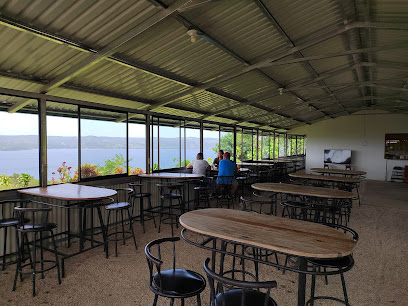
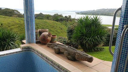
Mirador Tilarán
18.5 km
Experience breathtaking panoramic views of Lake Arenal and the Guanacaste landscape from this must-visit scenic spot in Tilarán, Costa Rica.
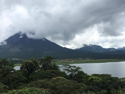
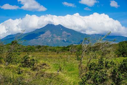
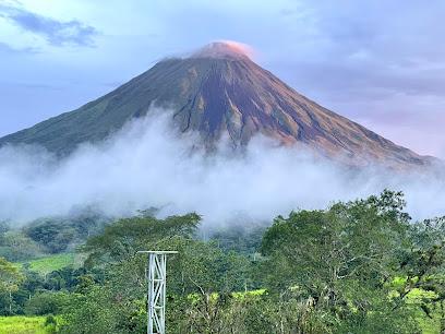
Miravalles Volcano
19.4 km
Discover the breathtaking beauty and geothermal wonders of Miravalles Volcano in Guanacaste, Costa Rica, a must-see for nature enthusiasts and adventure seekers alike.
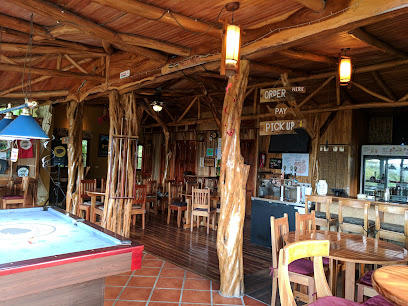
Essential places to dine
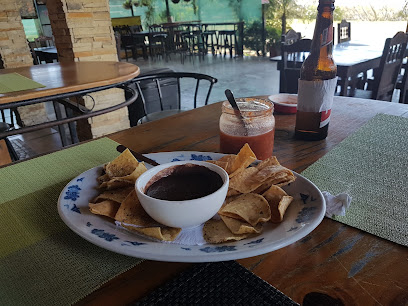
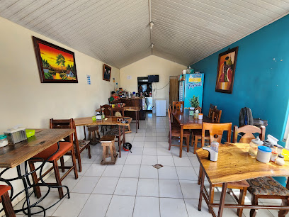
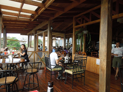
Restaurante Caballo Negro
15.0 km
Experience the authentic flavors of Costa Rica at Restaurante Caballo Negro, where exquisite cuisine meets breathtaking scenery.
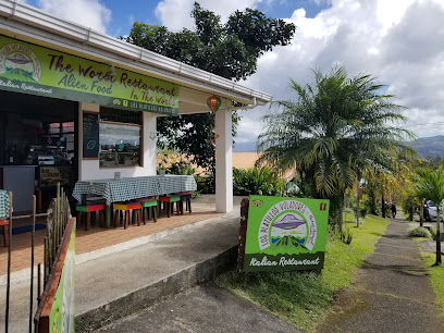
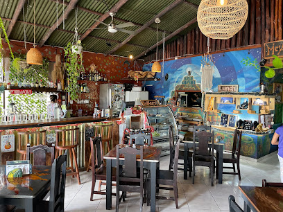
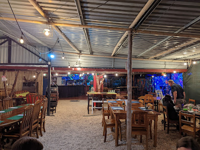
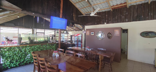
Los Platillos Voladores
16.8 km
Experience authentic Italian cuisine at Los Platillos Voladores in Nuevo Arenal - where flavor meets charm in Costa Rica's stunning landscape.
Moya's Place
17.1 km
Discover authentic Costa Rican flavors at Moya's Place in Nuevo Arenal - a delightful dining experience amidst stunning natural beauty.
Tinajas Arenal
17.2 km
Discover authentic Costa Rican flavors at Tinajas Arenal - a must-visit restaurant in Nuevo Arenal's stunning landscape.
Chafis Restaurante
19.7 km
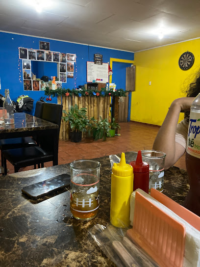
Savor authentic Costa Rican cuisine at Chafis Restaurante in Tilaran - where every dish tells a story.
La Pradera
19.9 km
Discover La Pradera: A Grill Haven Offering Authentic Costa Rican Flavors Amidst Lush Scenery.
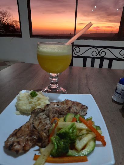
Restaurante Linda Vista
20.2 km
Experience authentic Costa Rican cuisine amidst breathtaking views at Restaurante Linda Vista in Guanacaste Province.
Marisqueria Guayo
20.7 km
Discover authentic Costa Rican seafood at Marisqueria Guayo, where fresh flavors meet local charm in Tilarán's vibrant Barrio Bonanza.
Pizzería Tsunami Tilarán
20.9 km
Experience the best pizza in Tilarán at Pizzería Tsunami - where flavor meets freshness in every slice.
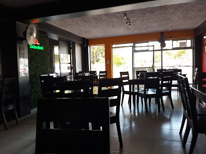
Full House
21.0 km
Savor authentic Costa Rican flavors and international cuisine at Full House in Tilarán – a culinary delight in Guanacaste.
Tilaran
21.0 km
Experience Tilaran's vibrant sushi culture nestled in Guanacaste Province, where fresh ingredients meet local flair for an unforgettable dining experience.
Twenty's Burgers Tilarán
21.0 km
Discover the delicious world of fast food at Twenty's Burgers in Tilarán – where every bite brings joy!

La Choza Del Sabor
21.2 km
Discover authentic Costa Rican flavors at La Choza Del Sabor - a must-visit restaurant in Tilarán for every traveler seeking local culinary delights.
Bar y Restaurante Mary´s.
21.3 km
Experience authentic Costa Rican cuisine at Bar y Restaurante Mary’s in Tilarán - where flavor meets local charm.
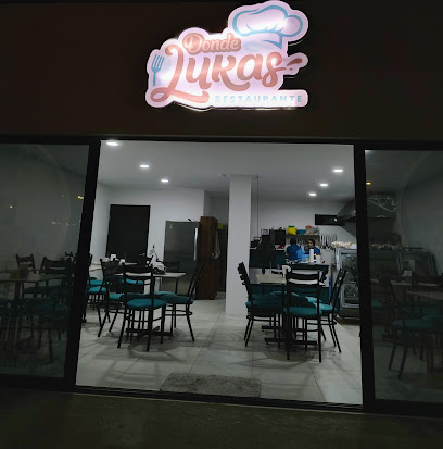
Donde Lukas, Restaurante.
21.3 km
Experience authentic Costa Rican flavors at Donde Lukas in Tilarán - a must-visit culinary destination for every tourist.
Markets, malls and hidden boutiques
Colono Construcción Tilarán
20.7 km
Explore Colono Construcción in Tilarán for all your building materials, home goods, and expert advice on construction projects.
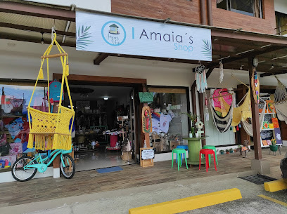
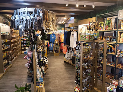
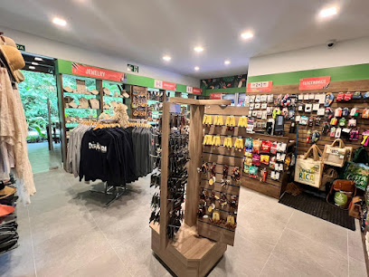
Amaias Shop
20.9 km
Discover unique souvenirs and local crafts at Amaias Shop in Tilarán, Guanacaste, where every item tells a story of Costa Rican culture.
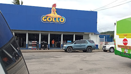
Gollo Tilarán
20.9 km
Discover Gollo Tilarán, a vibrant appliance and home goods store in Guanacaste, offering a wide selection of quality products and local treasures.
Palí Tilarán
21.2 km
Explore the flavors of Costa Rica at Palí Tilarán, where local produce meets international favorites in a vibrant supermarket experience.

Chepe's Store
22.1 km
Explore Chepe's Store in Guanacaste for a stunning selection of formal wear, perfect for every special occasion.

Bazar y BisuteríaYULI
25.4 km
Explore the authentic craftsmanship of Costa Rica at Bazar y BisuteríaYULI, a must-visit cutlery store in Mogote de Bagaces.
Ciclo Marilin
25.4 km
Discover unique local crafts and souvenirs at Ciclo Marilin in beautiful Guanacaste, where culture and creativity come together for an unforgettable shopping experience.
Mundo Primitivo
25.4 km
Explore unique and stylish footwear at Mundo Primitivo in Guanacaste, Costa Rica - a local favorite for shoe enthusiasts.
Diseños oropendola
25.5 km
Explore the artistry of Costa Rican jewelry at Diseños Oropendola – a treasure trove of unique, handcrafted pieces in Guanacaste Province.
la fortuna, costa rica
25.8 km
Explore La Fortuna's vibrant shopping scene, where local crafts meet culinary delights in the heart of Costa Rica's stunning landscapes.
J&J Colecciones
31.7 km
Explore J&J Colecciones for unique handcrafted gifts and a taste of Costa Rican culture in Bagaces, Guanacaste.

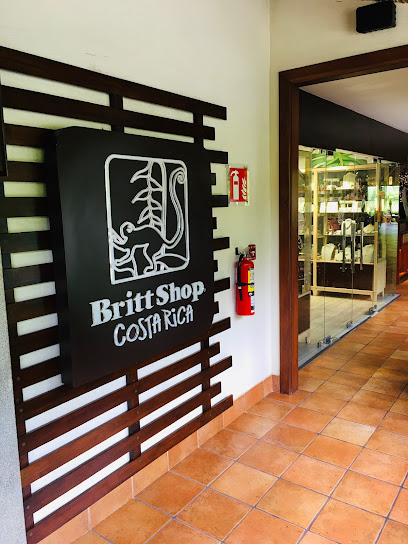
Britt Shop Místico Park Arenal
32.7 km
Explore Britt Shop Místico Park Arenal, where Costa Rican craftsmanship meets breathtaking nature, offering unique gifts and gourmet delights.
Britt Shop Tabacon
35.4 km
Discover the essence of Costa Rica at Britt Shop Tabacon, where local crafts, gourmet chocolates, and unique souvenirs await every traveler.
Rumbo Shop Tabacon Las Fuentes
35.5 km
Explore Rumbo Shop Tabacon Las Fuentes for the best selection of local crafts, chocolates, and souvenirs in La Fortuna, Costa Rica.
Mini Market El Mirador
36.5 km
Explore local flavors and essentials at Mini Market El Mirador, your one-stop grocery store in scenic La Fortuna, Costa Rica.
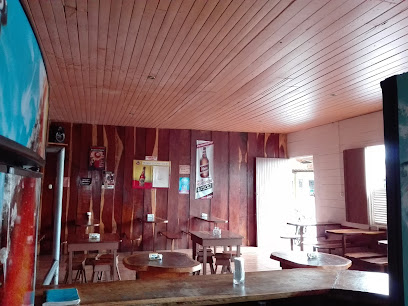
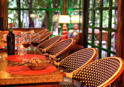
Essential bars & hidden hideouts
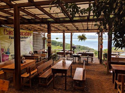
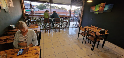
Café & Macadamia
11.7 km
Experience the rich flavors of Costa Rica at Café & Macadamia, a culinary jewel in Tilarán, perfect for relaxation and delightful dining.
Hostal Casa Delagua
12.1 km
Discover the warmth of Costa Rican culture at Hostal Casa Delagua, your cozy retreat in the heart of Guanacaste.
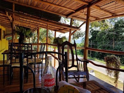
La finca del abuelo
17.0 km
Discover the essence of Costa Rican cuisine at La Finca del Abuelo in Tilaran, Guanacaste, where local flavors meet stunning natural beauty.
Restaurante La Troja
20.7 km
Experience the authentic taste of Costa Rica at Restaurante La Troja, where local flavors and warm hospitality await.
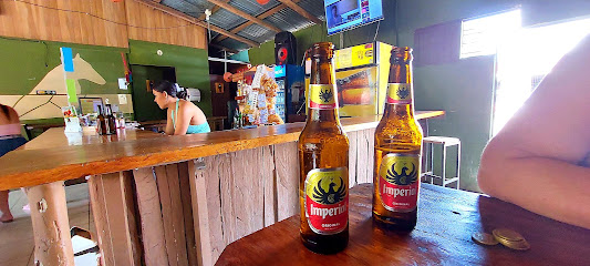
Drink King
21.0 km
Discover the vibrant atmosphere of Drink King in Tilarán, a local bar offering refreshing drinks and a taste of Costa Rican nightlife.
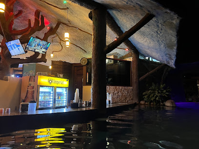
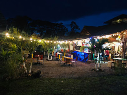
Bar Tilawa
21.3 km
Experience the vibrant nightlife of Tilarán at Bar Tilawa, where local flavors and friendly vibes create the perfect escape.
Bar Rancho Miravalles
22.1 km
Experience the charm of Costa Rica at Bar Rancho Miravalles, a cozy bar in La Fortuna offering local drinks and a welcoming atmosphere.
Bar Caballo Blanco
25.3 km
Experience the vibrant atmosphere and refreshing drinks at Bar Caballo Blanco in Guanacaste Province, a perfect spot for relaxation and local culture.
Cheny's Restaurant
26.0 km
Discover the authentic flavors of Costa Rica at Cheny's Restaurant in Quebrada Grande, a culinary gem in Guanacaste Province.
Shangri La Gardens. Tabacon Resort Club área
35.7 km
Discover the serene escape of Shangri La Gardens, where exquisite drinks meet breathtaking natural beauty in Costa Rica's Alajuela Province.
Howlers Bar & Grill
36.8 km
Experience the vibrant flavors and lively atmosphere at Howlers Bar & Grill in El Fosforo, Costa Rica's hidden culinary treasure.
Nostalgia Wine Bar
38.1 km
Discover the enchanting Nostalgia Wine Bar, a serene oasis in Arenal, offering exquisite wines and a captivating atmosphere for relaxation.
Terra bar
38.8 km
Experience the vibrant nightlife at Terra Bar in La Fortuna, where exceptional drinks and a lively atmosphere await every visitor.
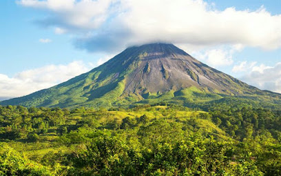
Arenal Volcano
38.9 km
Discover the awe-inspiring Arenal Volcano, a must-visit natural wonder in Costa Rica, surrounded by lush landscapes and thrilling adventures.
Lemnnos WetBar
38.9 km
Discover the vibrant Lemnnos WetBar in La Fortuna, where tropical drinks meet stunning views and unforgettable experiences.
Nightclubs & after hour spots
Santa María Ranger Station
35.4 km
Explore the breathtaking beauty of Rincón de la Vieja National Park at Santa María Ranger Station, Costa Rica's gateway to adventure and nature.
BAR YULI
38.9 km
Discover the vibrant nightlife at Bar Yuli in Upala, Costa Rica, where unforgettable music, dancing, and local culture await you.
Monteverde Night Tour
41.2 km
Discover the magical nocturnal world of Monteverde's cloud forest on an unforgettable night tour filled with wildlife and enchanting sights.
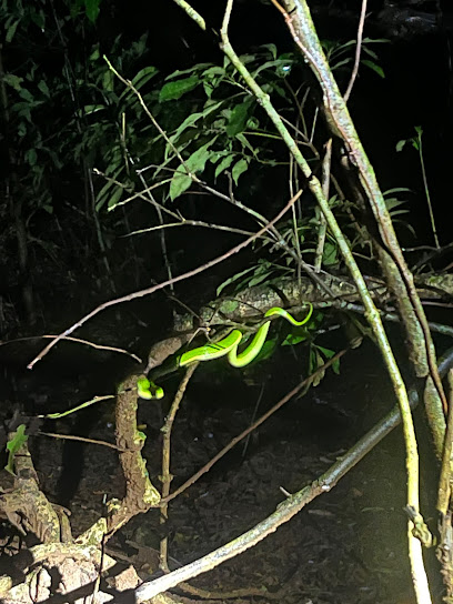
Night Walk Santamaria´s
41.3 km
Experience the enchantment of nocturnal wildlife at Night Walk Santamaria's, a premier nature preserve and campground in Monteverde, Costa Rica.
Rincón de la Vieja Volcano
41.7 km
Discover the breathtaking beauty and adventure of Rincón de la Vieja Volcano in Costa Rica's Alajuela Province, a paradise for nature lovers and thrill-seekers.
Monteverde Night Tour Don Rodolfo
41.8 km
Discover the magic of the cloud forest at Monteverde Night Tour Don Rodolfo, where nocturnal wildlife and breathtaking views await.
Ficus Trails Night Tour Monteverde
41.9 km
Explore the magical realm of the Monteverde rainforest at night with Ficus Trails, uncovering the vibrant life that thrives after sunset.
Monteverde Gastroclub
42.7 km
Experience the vibrant culinary scene of Monteverde at Gastroclub, where local flavors meet a lively atmosphere for an unforgettable dining experience.
Night Walk Tour
42.8 km
Discover the magic of the cloud forest at night with the Monteverde Night Walk Tour - a must-do for nature lovers and adventurers!
Tamarindo Chill
43.3 km
Experience the vibrant nightlife of La Fortuna at Tamarindo Chill, where delicious drinks and a laid-back atmosphere await.
Bar Patrón Costa Rica
43.4 km
Experience the vibrant cocktail culture of La Fortuna at Bar Patrón, where expertly crafted drinks meet a lively atmosphere.
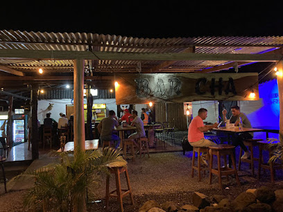
Cha
43.5 km
Experience the vibrant nightlife of La Fortuna at Cha, a lively bar offering delightful cocktails and a welcoming atmosphere for tourists.
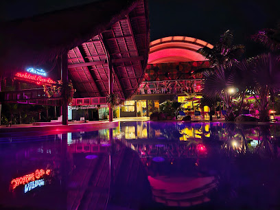
Magma Club
43.5 km
Magma Club: The heart of La Fortuna's nightlife, where vibrant beats and electrifying atmosphere create unforgettable nights.

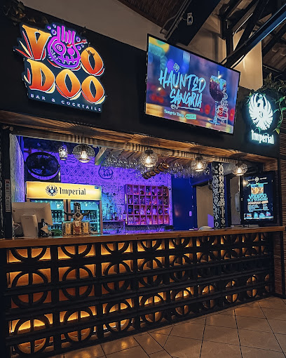
Voodoo Bar & Cocktails
43.5 km
Discover the vibrant nightlife at Voodoo Bar & Cocktails in La Fortuna, Costa Rica, where creative cocktails and a lively atmosphere await.
La Fortuna Pub
43.5 km
Discover La Fortuna Pub, a vibrant local hotspot in Costa Rica offering a wide selection of beers, live music, and a lively atmosphere perfect for unwinding.