Premužićeva staza, Lika Travel Guide
Hike the 'Masterpiece Trail' through Croatia's Velebit Mountains: stunning views, accessible paths, and rich natural beauty await!
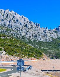
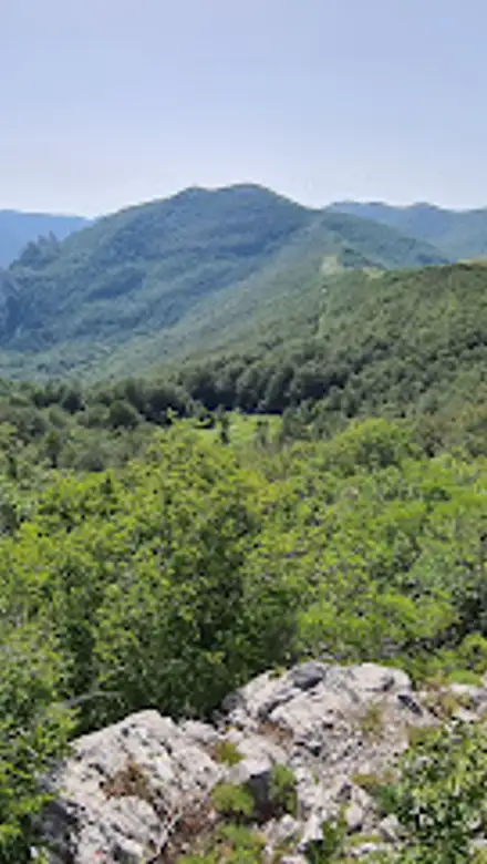
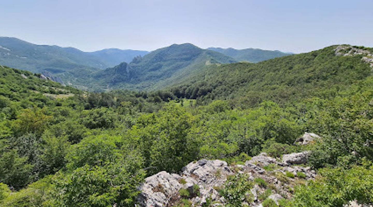
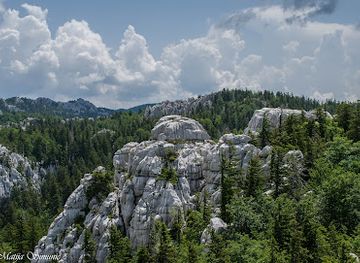
Premužićeva staza is a 57 km hiking trail traversing the heart of the Velebit mountain range in Croatia. Completed in 1933, it's renowned for its unique dry-stone construction and accessibility, offering stunning views of the Adriatic coast and Velebit's rugged peaks.
A brief summary to Premužićeva staza
- Ravni Dabar, HR

Know before you go
Hi, I'm Eve. Here are a few practical things to know before exploring Premužićeva staza.
- Wear sturdy hiking boots for better grip on the rocky paths.
- Bring plenty of water and snacks, as water sources are limited, especially in summer.
- Check the weather forecast before your hike.
- Consider hiking in early June or late September to avoid the summer heat.
Do you manage this location?
Take control to get all the benefits, like improved information, better appearance, and stronger visibility across AI-powered discovery. Learn more about listing your business on Evendo
Activate your presenceOther nearby places you may find interesting
The closest places of the same kind, if this one is not quite what you had in mind.
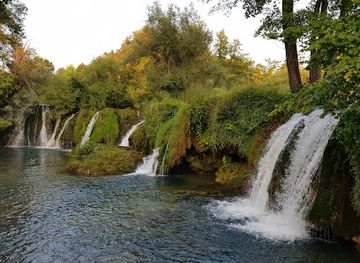
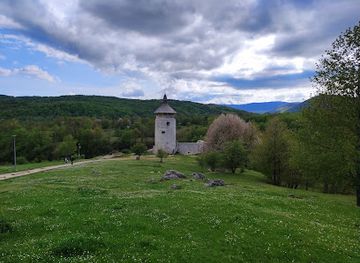
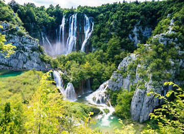
Explore Premužićeva staza on the Map
A handpicked selection of must-see spots near Premužićeva staza, mapped for you.
Getting There
-
Car
To reach Premužićeva staza by car, navigate to Ravni Dabar in the Lika region. From Ravni Dabar, follow the local road to the trailhead. Parking is available near the trail's starting point.
-
Public Transport
To use public transport, take a bus to Ravni Dabar from major cities like Gospić or Rijeka. From the bus stop in Ravni Dabar, it's approximately a 1-2 kilometer walk or a short taxi ride to the trailhead. Check local bus schedules in advance.
Discover more about Premužićeva staza













Your all‑in‑one travel companion app
Explore expert travel guides, compare and book tours, experiences, hotels, and more—all from the palm of your hand. Download now for seamless trip planning wherever your wanderlust takes you.


Explore More of Lika

Looking beyond Premužićeva staza? Discover Lika for broader travel guides, local hot-spots, and regional highlights.
Explore Lika