
From Eve
Know before you go
Hi, I'm Eve. Here are a few practical things to know before exploring slave wall.
Local know-how to help you travel smarter and make the most of every moment.

Reflect on Curaçao's poignant history at the Slave Wall, a powerful reminder of the transatlantic slave trade and its impact.
The Slave Wall in Willemstad, Curaçao, stands as a powerful monument to the island's history and the countless enslaved people who suffered during the transatlantic slave trade. It serves as a place for reflection and remembrance.
Opening times, essentials, and a few local tips gathered into one calmer, easier-to-scan planning section.
Hi, I'm Eve. Here are a few practical things to know before exploring slave wall.
Local know-how to help you travel smarter and make the most of every moment.
Walking
If you are starting from the central area of Willemstad, head towards the Queen Emma Bridge. Walk across the bridge towards the Punda district. Continue straight until you reach the main road (Heerenstraat). Turn right on Heerenstraat and walk until you reach the intersection with Breedestraat. Turn left onto Breedestraat, and continue walking until you see a small park on your left. The Slave Wall is located near this park. The walk should take approximately 15-20 minutes.
Public Transport
To reach the Slave Wall using public transportation, locate the nearest bus stop in Scharloo. Take a bus heading towards Willemstad. Most buses will stop at central locations such as Punda or Otrobanda. From there, transfer to a bus that goes towards Hato Airport or the eastern part of Willemstad. Inform the bus driver that you want to stop near the Slave Wall. Once you disembark, walk towards the coordinates 12.182415, -68.961085. The fare for the bus is typically around 2-3 ANG.
Car
If you are traveling by car, start from the center of Scharloo. Head east on Scharlooweg towards the intersection with Kaya Bieu. Turn left onto Kaya Bieu and continue driving straight. After approximately 1.5 kilometers, you will reach the roundabout. Take the second exit onto Willemstad - Hato Airport Road (also known as Weg Naar Hato). Continue for about 2 kilometers. The Slave Wall is located at coordinates 12.182415, -68.961085, which is just off the main road. Look for the address 52JQ+XH7, Willemstad. There is usually parking available nearby, but be mindful of local parking regulations.
Use slave wall as your starting point for nearby food, family ideas, nightlife, and more local discoveries.

Explore expert travel guides, compare and book tours, experiences, hotels, and more—all from the palm of your hand. Download now for seamless trip planning wherever your wanderlust takes you.
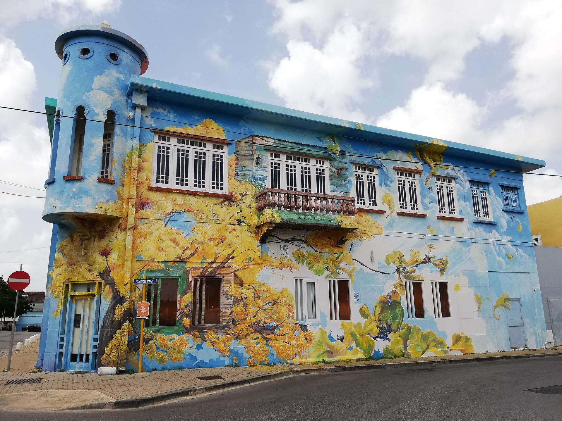
Explore Scharloo, Curaçao's historic district renowned for its colorful colonial mansions, vibrant street art, and rich cultural heritage.
Tell me more about Scharloo


