
From Eve
Know before you go
Hi, I'm Eve. Here are a few practical things to know before exploring slave wall.
Local know-how to help you travel smarter and make the most of every moment.
Reflect on Curaçao's poignant history at the Slave Wall, a powerful monument to the island's past and the legacy of the transatlantic slave trade.
The Slave Wall in Willemstad, Curaçao, stands as a powerful monument to the island's history of slavery and the transatlantic slave trade. This historical landmark serves as a place for reflection and remembrance of the countless enslaved people who suffered and labored on the island.
Opening times, essentials, and a few local tips gathered into one calmer, easier-to-scan planning section.
Hi, I'm Eve. Here are a few practical things to know before exploring slave wall.
Local know-how to help you travel smarter and make the most of every moment.
Walking
From the Queen Emma Bridge in downtown Willemstad, cross the bridge towards the Punda district. Continue straight until you reach Heerenstraat, then turn right. Walk along Heerenstraat until the intersection with Breedestraat, then turn left. Continue walking until you see a small park on your left; the Slave Wall is located near this park. It is near the coordinates 52JQ+XH7.
Public Transport
From the central Punda area, take a local bus heading towards Otrobanda. Ask the bus driver to drop you off near the Rif Fort. From there, walk towards the water and follow the coastline until you reach the Slave Wall. The bus fare is typically around 2-3 ANG.
Car
From the center of Scharloo, head east on Scharlooweg towards the intersection with Kaya Bieu. Turn left onto Kaya Bieu and continue straight. After approximately 1.5 kilometers, you will reach the roundabout. Take the second exit onto Willemstad - Hato Airport Road (also known as Weg Naar Hato). Continue for about 2 kilometers. The Slave Wall is located at coordinates 12.182415, -68.961085, which is just off the main road. Parking is generally easy and often free, except in the downtown area. In most parts of Punda and large sections of Otrobanda, parking costs 1 ANG per hour from Monday to Saturday, between 8 AM and 6 PM. You can pay at parking meters using coins or a prepaid parking card. You can also download the Flowbird app to register and pay online using a credit card.
Use slave wall as your starting point for nearby food, family ideas, nightlife, and more local discoveries.

Explore expert travel guides, compare and book tours, experiences, hotels, and more—all from the palm of your hand. Download now for seamless trip planning wherever your wanderlust takes you.
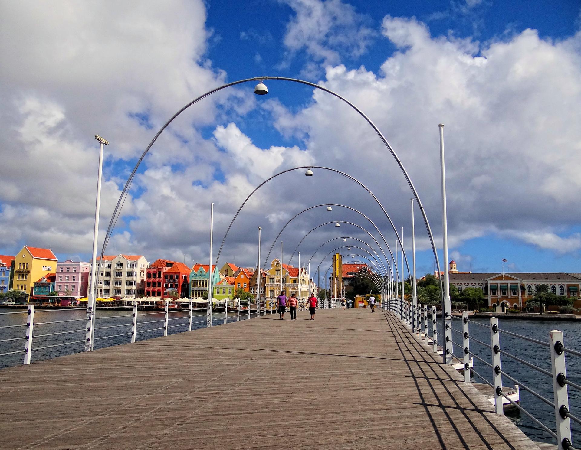
Explore Willemstad: A Caribbean paradise where vibrant culture, stunning architecture, and breathtaking beaches come together for an unforgettable experience.
Tell me more about Willemstad


