
Kyrenia Mountains: A Cypriot Skyline
Discover Cyprus's northern skyline: Hike through history, explore ancient castles, and soak in panoramic views from the rugged Kyrenia Mountains.
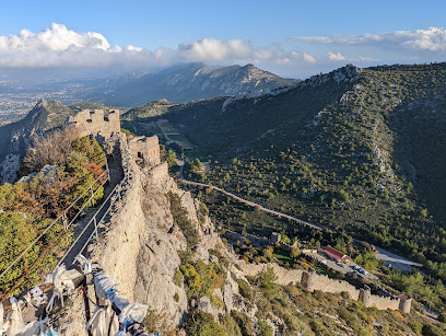
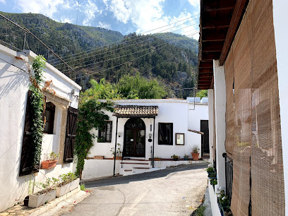
The Kyrenia Mountains, also known as the Beşparmak Mountains, are a striking, narrow mountain range stretching along the northern coast of Cyprus. Offering dramatic Mediterranean views, the range is steeped in history, dotted with ancient castles, and rich in biodiversity.
A brief summary to Kyrenia Mountains
- 873V+3XP, Beylerbeyi, CY
Local tips
- Visit in spring or autumn for mild weather and blooming wildflowers.
- Wear sturdy hiking shoes and bring plenty of water, especially for longer treks.
- Explore the historic castles of St. Hilarion, Buffavento, and Kantara for panoramic views.
- Check the weather forecast before your visit, as conditions can change rapidly in the mountains.
Getting There
-
Public Transport
To reach the Kyrenia Mountains via public transport, begin at Kyrenia's main bus station on Mustafa Çağatay Cd, south of Kyrenia Castle. Look for dolmuş (shared minibuses) or buses heading towards Beylerbeyi. These are usually marked clearly. The journey to Beylerbeyi takes approximately 30 minutes. Bus fares typically range from 2.50 TL to 5 TL for local trips. From Beylerbeyi bus stop, the entrance to the Kyrenia Mountains is about a 15-minute walk.
-
Taxi
Taxis are readily available in Kyrenia. A taxi ride from Kyrenia city center to a viewpoint in the Kyrenia Mountains, such as near Karaagaç, will take approximately 30-40 minutes. Negotiate the fare before starting your journey. Expect to pay around 250-350 TRY for a one-way trip. Keep in mind that prices may vary depending on the season and time of day.
Discover more about Kyrenia Mountains
Iconic landmarks you can’t miss
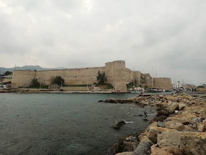
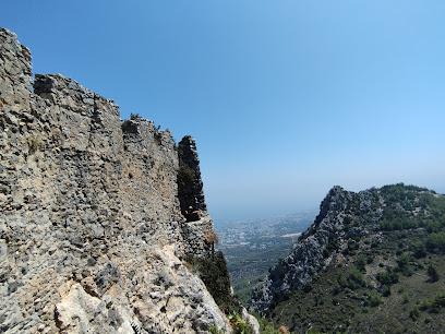
St. Hilarion Castle
1.8 km
Discover the enchanting St. Hilarion Castle in Northern Cyprus, where history and breathtaking views blend seamlessly.
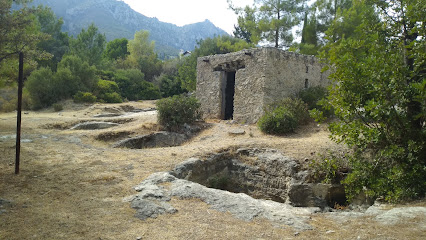
Karmi Tunç Çağı Mezarlığı
3.6 km
Explore the Karmi Tunç Çağı Mezarlığı in Kyrenia, a Bronze Age cemetery that reveals the ancient burial practices and history of Cyprus.
ENTER hostel
4.0 km
Discover the vibrant atmosphere of ENTER Hostel in Kyrenia, Northern Cyprus, where comfort meets community for adventurous travelers.
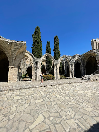
Bellapais Palace
4.0 km
Explore the historical and architectural wonders of Bellapais Palace, a stunning Gothic monastery offering breathtaking views of Kyrenia and the Mediterranean.
Kyrenia Road Forest
4.3 km
Explore Kyrenia Road Forest in Beylerbeyi: A serene escape into nature with stunning views and diverse wildlife awaits every visitor.

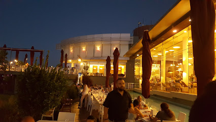
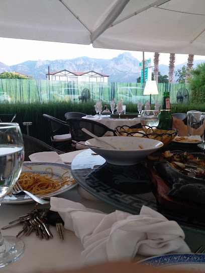
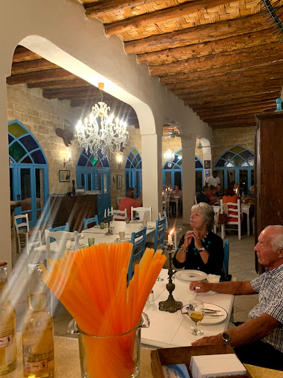
Niazi's Restaurant
4.6 km
Experience the essence of Mediterranean dining at Niazi's Restaurant in Girne, where delicious Turkish cuisine meets stunning sea views and warm hospitality.
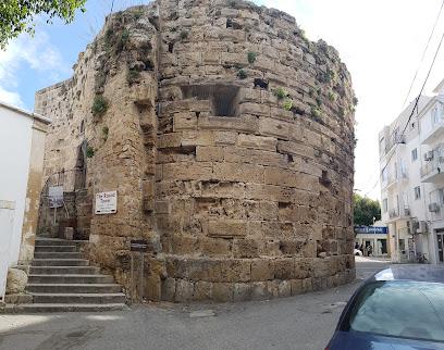
The Round Tower
4.7 km
Explore the historic Round Tower in Kyrenia, Cyprus – a stunning vantage point with rich history and breathtaking Mediterranean views.
Ottoman Baldöken Cemetery
4.8 km
Explore the Ottoman Baldöken Cemetery in Kyrenia, a serene historical site that offers a glimpse into the island's rich cultural heritage amidst beautiful landscapes.
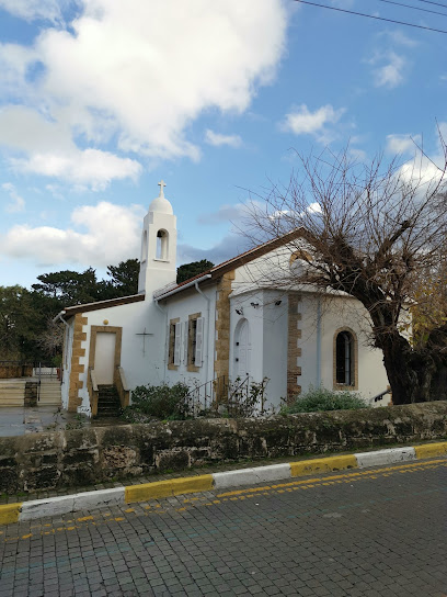
St. Andrew's Church
4.8 km
Explore St. Andrew's Church in Kyrenia, a serene Anglican church rich in history and spirituality, adjacent to the iconic Kyrenia Castle.
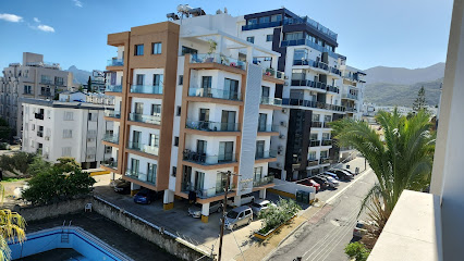
Kyrenia Harbour Apartments
4.9 km
Experience the charm of Kyrenia with a stay at Kyrenia Harbour Apartments, your gateway to the beauty of Northern Cyprus.
Bellapais Monastery Village Hotel
5.0 km
Experience the serene elegance of Bellapais Monastery Village Hotel, where history meets tranquility in the heart of Northern Cyprus.
Vela Yachting LTD
5.1 km
Explore the stunning Mediterranean with Vela Yachting LTD in Kyrenia, offering boat rentals, fishing charters, and thrilling parasailing experiences.
Eziç Peanuts
5.1 km
Experience authentic Turkish cuisine at Eziç Peanuts in Kyrenia, where traditional flavors meet a warm, inviting atmosphere by the sea.
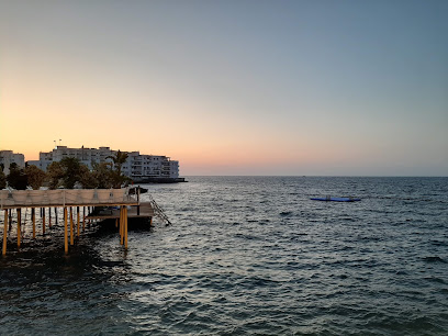
Kyrenia
5.4 km
Explore the captivating beauty and rich history of Kyrenia, a stunning harbor city in Northern Cyprus, from its scenic ferry terminal.
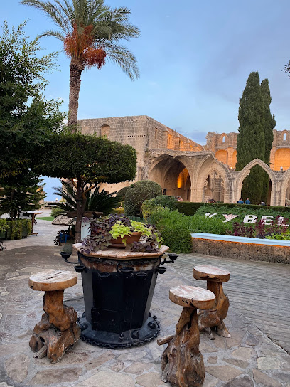
Kybele Restaurant Girne Kıbrıs
5.5 km
Discover the best of Cypriot cuisine at Kybele Restaurant in Girne, where every meal is an unforgettable experience.
Unmissable attractions to see
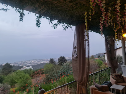
Saint Hilarion View Point
1.2 km
Discover breathtaking panoramic views of Cyprus from Saint Hilarion View Point, a tranquil escape offering stunning sunsets and a glimpse into the island's rich history and natural beauty.
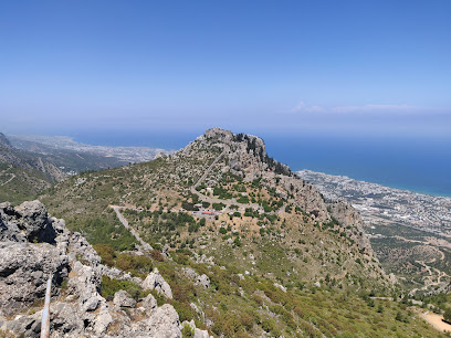
St. Hilarion Kalesi
1.6 km
Explore the fairytale fortress of St. Hilarion Castle in Kyrenia, Northern Cyprus, offering breathtaking views and a glimpse into the island's rich Byzantine and Lusignan history.
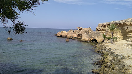
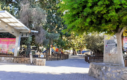
Peace Park
3.7 km
Experience tranquility and natural beauty at Peace Park, a serene retreat in Kyrenia, perfect for relaxation and leisurely strolls.
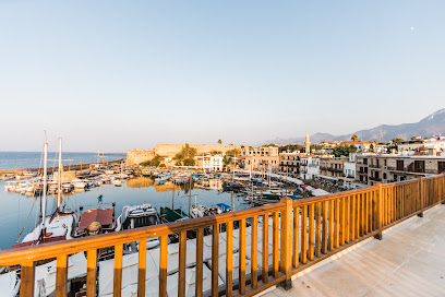
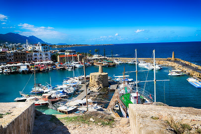
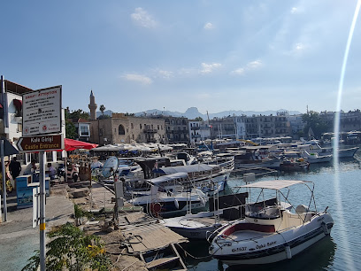
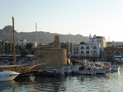
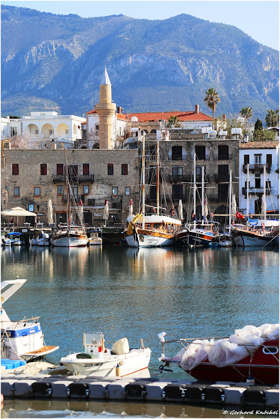
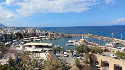
Λιμάνι Κερύνειας
4.0 km
Discover the charm of Kyrenia Harbor, a historical treasure in Cyprus with stunning views, delicious cuisine, and a vibrant atmosphere.
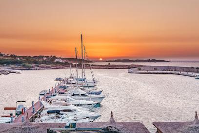
Marina Kyrenia
4.6 km
Discover the timeless charm of Kyrenia Marina in Northern Cyprus: a historic harbor blending Venetian architecture, vibrant culture, and stunning Mediterranean views for an unforgettable escape.
Kyrenia Attractions
4.7 km
Explore Kyrenia, a picturesque harbor town in Cyprus, rich in history, culture, and stunning Mediterranean views.
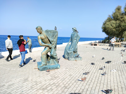
Peace Memorial
4.8 km
Reflect on peace and remembrance at Kyrenia's serene monument, a tranquil escape offering historical context and a space for contemplation in the heart of the city.
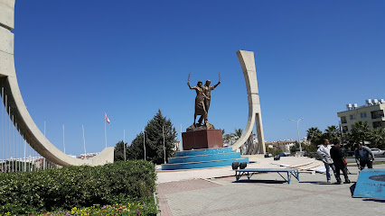
Statue of Ataturk
4.8 km
Discover the iconic Atatürk Statue in Kyrenia, a symbol of Turkish heritage and a cultural landmark offering scenic coastal views and a glimpse into the shared history of Cyprus and Turkey.
Kordonboyu Park
4.8 km
Discover tranquility and breathtaking views at Kordonboyu Park in Kyrenia, Cyprus, a beautiful green space perfect for relaxation, scenic strolls, and enjoying the Mediterranean charm.
Panagia Chrysopolitissa Church
4.8 km
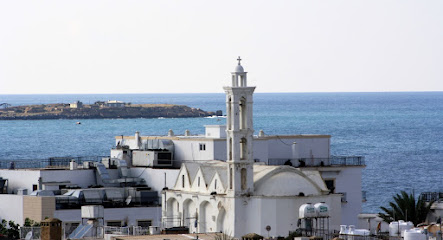
Experience the rich history and serene beauty of Panagia Chrysopolitissa Church, a stunning Greek Orthodox landmark in Kyrenia, Cyprus, inviting reflection and cultural immersion.
Ağa Cafer Pasha Mosque
4.9 km
Discover the serene beauty and Ottoman heritage of Ağa Cafer Pasha Mosque in Kyrenia, a historical landmark offering a tranquil escape near the bustling harbor.
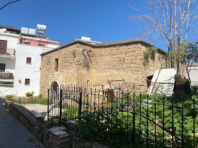
Archangelos Michael Church
4.9 km
Discover a treasure trove of religious art at the Archangelos Michael Church in Kyrenia, now the Kyrenia Icon Museum, showcasing centuries of Cypriot history and culture.

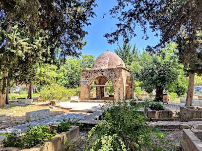
Icon Museum
4.9 km
Explore the Icon Museum in Kyrenia for an enchanting journey through Byzantine art and religious heritage, a must-visit for culture lovers.
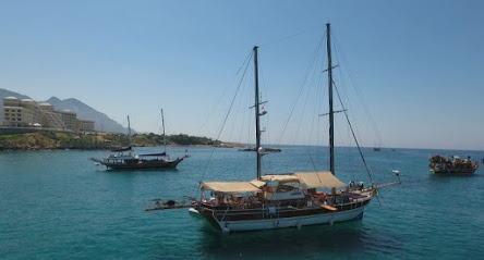
Aphrodite Boat Trips
4.9 km
Experience the beauty of Kyrenia’s coastline with unforgettable boat trips at Aphrodite Boat Trips, where adventure meets tranquility.
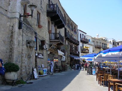
Kyrenia Harbour
4.9 km
Explore the enchanting Kyrenia Harbour in Cyprus, where stunning views, rich history, and vibrant atmosphere create an unforgettable destination for travelers.
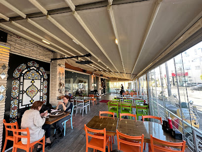
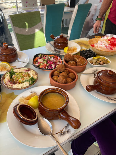
Essential places to dine
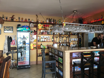
North Kyrenia Cafe & Restaurant
2.9 km
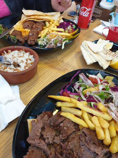
Experience authentic Cypriot cuisine at North Kyrenia Cafe & Restaurant - where tradition meets flavor in a cozy setting.
Ezic Restaurant
2.9 km
Discover authentic Turkish cuisine at Ezic Restaurant in Kyrenia – where flavors come alive in a warm and welcoming atmosphere.
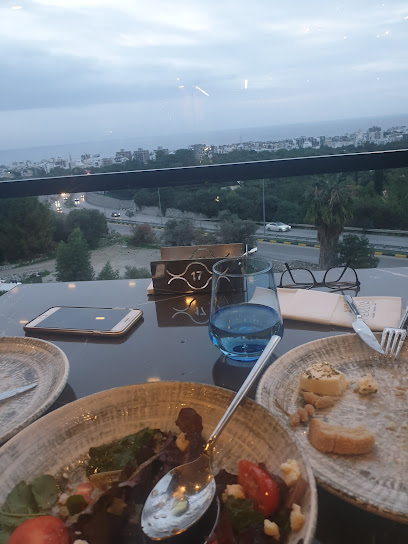
Nerissa by Kaplıca
3.0 km
Discover Nerissa by Kaplıca: A must-visit restaurant in Kyrenia offering breathtaking views and exquisite culinary delights.
Archway Restaurant
3.1 km
Discover delightful dining at Archway Restaurant in Zeytinlik - where local flavors meet exceptional service.
Zeenee Italian & American Restaurant
3.1 km
Discover authentic Italian flavors paired with hearty American classics at Zeenee Restaurant in Kyrenia's Neo Park Shopping Mall.
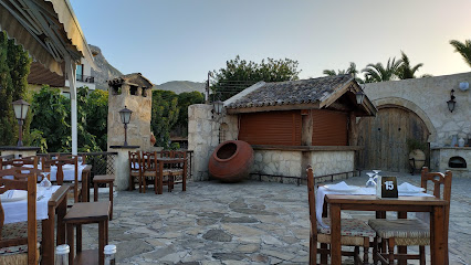
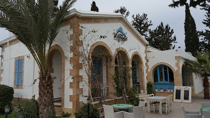
Villaggio Templos
3.4 km
Discover authentic Cypriot flavors at Villaggio Templos – a culinary gem in Zeytinlik known for its delicious dishes and warm ambiance.
Treasure Restaurant
3.5 km
Discover authentic local cuisine at Treasure Restaurant in Karaman – where every meal tells a story of flavor and tradition.
22. Cadde Ocakbası
3.8 km
Experience authentic Cypriot flavors at 22. Cadde Ocakbası in Kyrenia – a chophouse delight with grilled specialties and warm hospitality.
The Meyhane
3.9 km
Discover authentic Turkish flavors at The Meyhane in Zeytinlik – where every meal is a celebration of culture and taste.
The Levant Restaurant
3.9 km
Experience authentic Levantine cuisine at The Levant Restaurant in Karaman – where tradition meets taste.
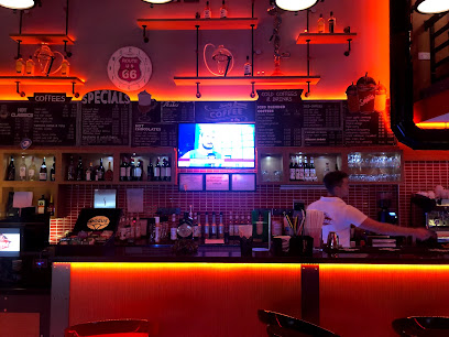
Mozzarella Pizza Cafe & Restaurant
3.9 km
Discover the taste of Italy and Cyprus at Mozzarella Pizza Cafe & Restaurant in Kyrenia - where every bite is a culinary delight.
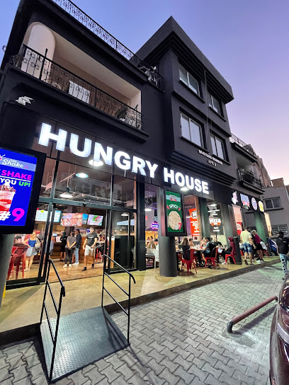
Hungry House
4.0 km
Experience delectable dining at Hungry House in Kyrenia—where local flavors meet international cuisine for an unforgettable meal.
ZemZem Arabic Restaurant
4.0 km
Savor authentic Arabic cuisine in the heart of Kyrenia at ZemZem Arabic Restaurant - a culinary delight not to be missed.
Chinese House
4.2 km
Experience authentic Chinese flavors at Chinese House in Kyrenia—where every dish tells a story.
Parea Restaurant & Bar
4.4 km
Experience exquisite dining at Parea Restaurant & Bar in Kyrenia, where local flavors meet vibrant ambiance and stunning views.
Markets, malls and hidden boutiques
Değgin Market
3.5 km
Explore the flavors of Cyprus at Değgin Market in Kyrenia, your local grocery store for fresh produce and unique local specialties.
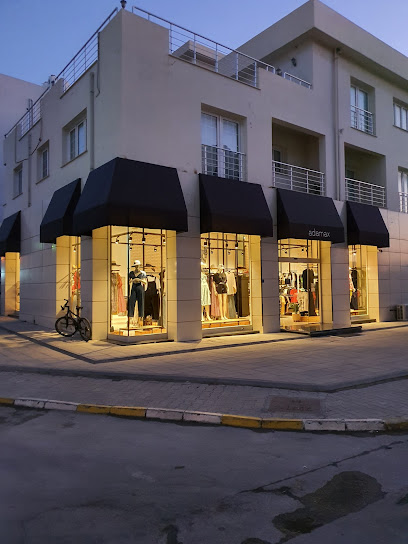
Adamax (girne)
3.8 km
Discover unique fashion pieces at Adamax in Kyrenia, where style meets quality in a charming shopping experience.
İpekyol
3.8 km
Discover contemporary women's fashion at İpekyol in Kyrenia, where style meets elegance in a stunning shopping experience.
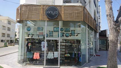
Enya Shop
3.8 km
Explore the charm of Kyrenia's fashion scene at Enya Shop, where unique styles and quality craftsmanship meet.
Mr. Pound
3.8 km
Explore Mr. Pound, a treasure trove of unique gifts and souvenirs in Kyrenia, capturing the essence of Cyprus.
JUST P Collection
3.9 km
Explore the latest trends in footwear at JUST P Collection, Kyrenia's premier shoe store offering style and comfort for every occasion.
LC Waikiki
3.9 km
Explore stylish and affordable fashion at LC Waikiki in Kyrenia, a must-visit clothing store for every fashion lover.
TUŞE BUTİK
3.9 km
Explore TUŞE BUTİK in Kyrenia for unique fashion and local crafts that reflect the beauty of Cyprus.
Yargıcı
3.9 km
Discover the elegance of women's fashion at Yargıcı, Kyrenia's premier clothing store offering stylish designs and quality craftsmanship.
Nike Girne
3.9 km
Discover the latest trends in athletic wear at Nike Girne, Kyrenia's premier destination for stylish sports apparel.

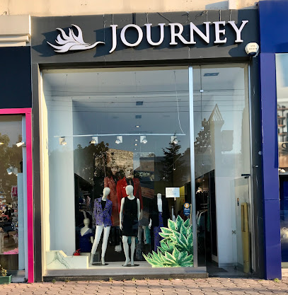
Journey Girne
3.9 km
Explore vibrant fashion at Journey Girne, the ultimate women's clothing store in Kyrenia, where style meets local charm.
Girne Park AVM
4.0 km
Experience the best of shopping and dining at Girne Park AVM in the charming city of Kyrenia, Cyprus, where culture meets modern convenience.
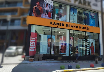
Kaner Brand House Kyrenia Store - IQOS Yetkili Satış Noktası
4.0 km
Explore Kaner Brand House in Kyrenia for premium IQOS products and exceptional customer service in a charming shopping atmosphere.
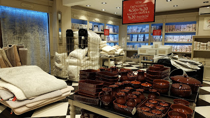
Madame Coco
4.0 km
Discover exquisite home decor and unique gifts at Madame Coco in Kyrenia, where style meets warmth in a delightful shopping experience.
Armani Exchange Girne
4.0 km
Explore the stylish offerings of Armani Exchange Girne, where fashion meets the enchanting charm of Kyrenia, Cyprus.
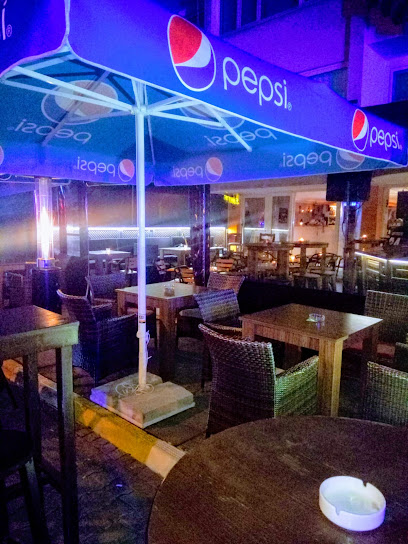
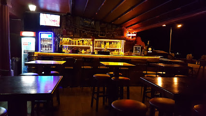
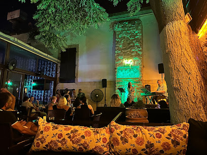
Essential bars & hidden hideouts
Bar Duck
3.8 km
Experience the vibrant flavors of Kyrenia at Bar Duck, a stylish gastropub blending local ingredients with international cuisine.
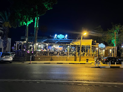
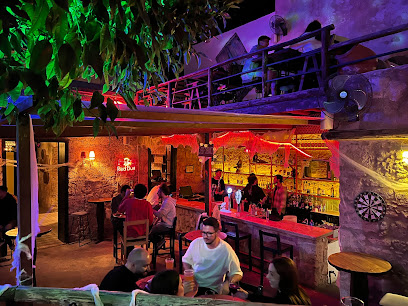
Old Paddy
4.1 km
Discover the vibrant nightlife of Old Paddy in Kyrenia, where live music and a lively atmosphere create unforgettable memories.
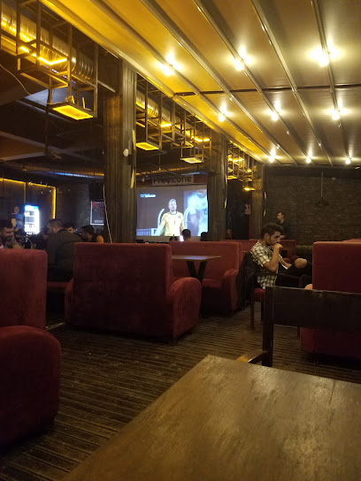
Jolly Joker Cyprus
4.1 km
Discover the lively atmosphere and refreshing drinks at Jolly Joker Cyprus, a top bar destination in Kyrenia, perfect for socializing and relaxation.
Dolunay Canlı Müzik
4.2 km
Experience the vibrant nightlife of Kyrenia at Dolunay Canlı Müzik, where live music and lively atmosphere create unforgettable evenings.

SIPS
4.4 km
Experience the vibrant nightlife of Kyrenia at SIPS, where exquisite drinks and an inviting atmosphere await every visitor.
Baragadi Bar
4.4 km
Discover the perfect blend of grilled delicacies and stunning Mediterranean views at Baragadi Bar in Kyrenia.
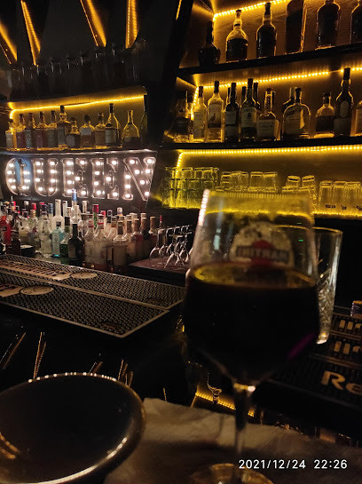
Queen Lounge
4.4 km
Experience the vibrant nightlife at Queen Lounge in Kyrenia, where cocktails, karaoke, and a cozy atmosphere await you.
Littlepub
4.4 km
Experience the vibrant nightlife at Littlepub in Kyrenia, where locals and tourists mingle over crafted cocktails and refreshing drinks.
Rock Onyx Bar and Club
4.5 km
Discover the vibrant nightlife of Kyrenia at Rock Onyx Bar and Club, where exciting music and refreshing drinks create unforgettable experiences.
Losers Club Girne
4.7 km
Discover the lively nightlife at Losers Club Girne, a vibrant bar in the heart of Kyrenia, perfect for cocktails, music, and meeting new friends.
Avlu Bar
4.7 km
Experience the vibrant nightlife of Kyrenia at Avlu Bar, where delightful drinks and live entertainment await every visitor.
Gate Live Bar
4.7 km
Discover the vibrant nightlife at Gate Live Bar in Kyrenia, where live music and delicious drinks create unforgettable memories.
Barbar Bar
4.8 km
Discover Barbar Bar in Kyrenia, where refreshing drinks and a lively atmosphere await you, perfect for unwinding after a day of adventure.
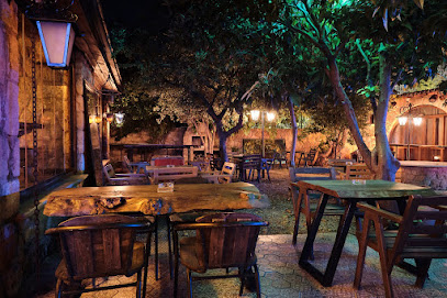
Cyprian Cafe & Bar
4.8 km
Experience the perfect blend of cozy ambiance and vibrant nightlife at Cyprian Cafe & Bar in scenic Kyrenia.
Sitare Bar
4.8 km
Experience the vibrant nightlife at Sitare Bar in Kyrenia, where great drinks and a lively atmosphere await every visitor.
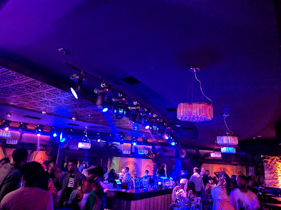
Nightclubs & after hour spots
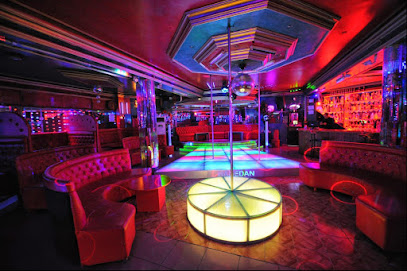
Kıbrıs Nightlİfe
3.2 km
Discover the vibrant nightlife at Kıbrıs, where music, dancing, and unforgettable experiences await in the heart of Kyrenia.
kıbrıs gece clubu
3.8 km
Immerse yourself in the vibrant nightlife of Kyrenia at Kıbrıs Gece Clubu, where unforgettable experiences await under dazzling lights.

Kıbrıs Night Club Katalog | Girne Escort
4.0 km
Experience the electrifying nightlife at Kıbrıs Night Club in Kyrenia, where vibrant music and a lively atmosphere await every tourist.

Chamada Club Girne
4.7 km
Experience the vibrant nightlife at Chamada Club Girne, a top destination for entertainment and excitement in Cyprus.

remedy
4.7 km
Discover the vibrant nightlife of Kyrenia at Remedy, where music, dancing, and unforgettable experiences await every visitor.
Las Hermanas
4.8 km
Experience the vibrant nightlife of Kyrenia at Las Hermanas, where unforgettable memories and electrifying music await you.
Marrakech Lush Club
5.3 km
Discover the vibrant nightlife at Marrakech Lush Club in Kyrenia, where electrifying music and a lively atmosphere create unforgettable experiences.
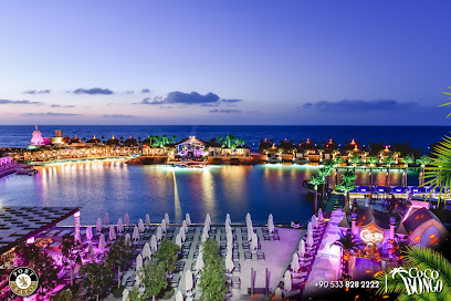
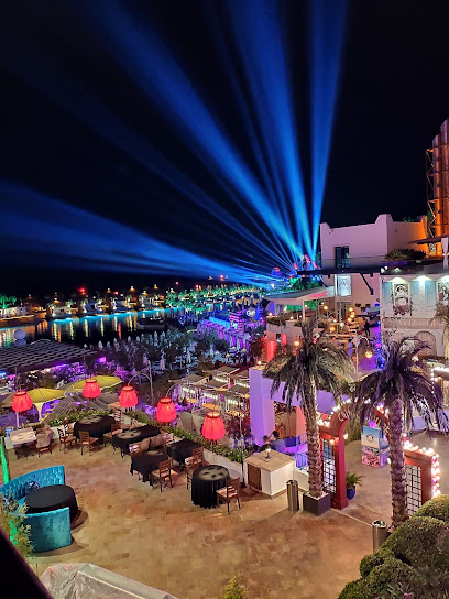
Coco Bongo Island
7.3 km
Discover the vibrant nightlife of Coco Bongo Island in Çatalköy, where unforgettable performances and a lively atmosphere await every visitor.
Cage Club
7.3 km
Experience the electric nightlife of Cyprus at Cage Club, where top DJs and vibrant ambiance keep the party alive until dawn.
ICE Lounge & VIP Club
7.4 km
Dive into the vibrant nightlife of Karavas at ICE Lounge & VIP Club, where electrifying music and a stylish atmosphere await every night.
Club Soho Kyrenia
7.5 km
Experience the vibrant nightlife of Kyrenia at Club Soho, where electrifying music and unforgettable moments await you.
Romantic Night Club
10.3 km
Experience the vibrant nightlife at Nicosia's Romantic Night Club, where music, dancing, and romance come together for an unforgettable evening.
Kibris night club
10.3 km
Dive into the vibrant nightlife at Kibris Night Club, Alayköy’s top destination for music, dance, and unforgettable memories.
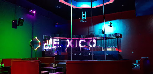
Mexico Night Club
10.3 km
Dive into the electrifying nightlife at Mexico Night Club, where music, dance, and vibrant energy come together for an unforgettable evening.
KIBRIS GECE HAYATI
10.7 km
Discover the electrifying nightlife at Kibris Gece Hayati, where unforgettable nights of dancing and entertainment await in Lapta, Cyprus.


