Slættaratindur, Eysturoy Travel Guide
Explore Slættaratindur, the highest mountain in the Faroe Islands, and enjoy breathtaking views and unforgettable hiking experiences.
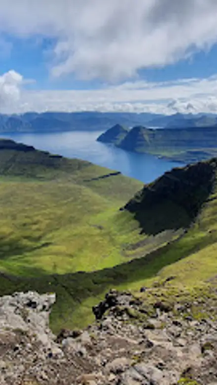
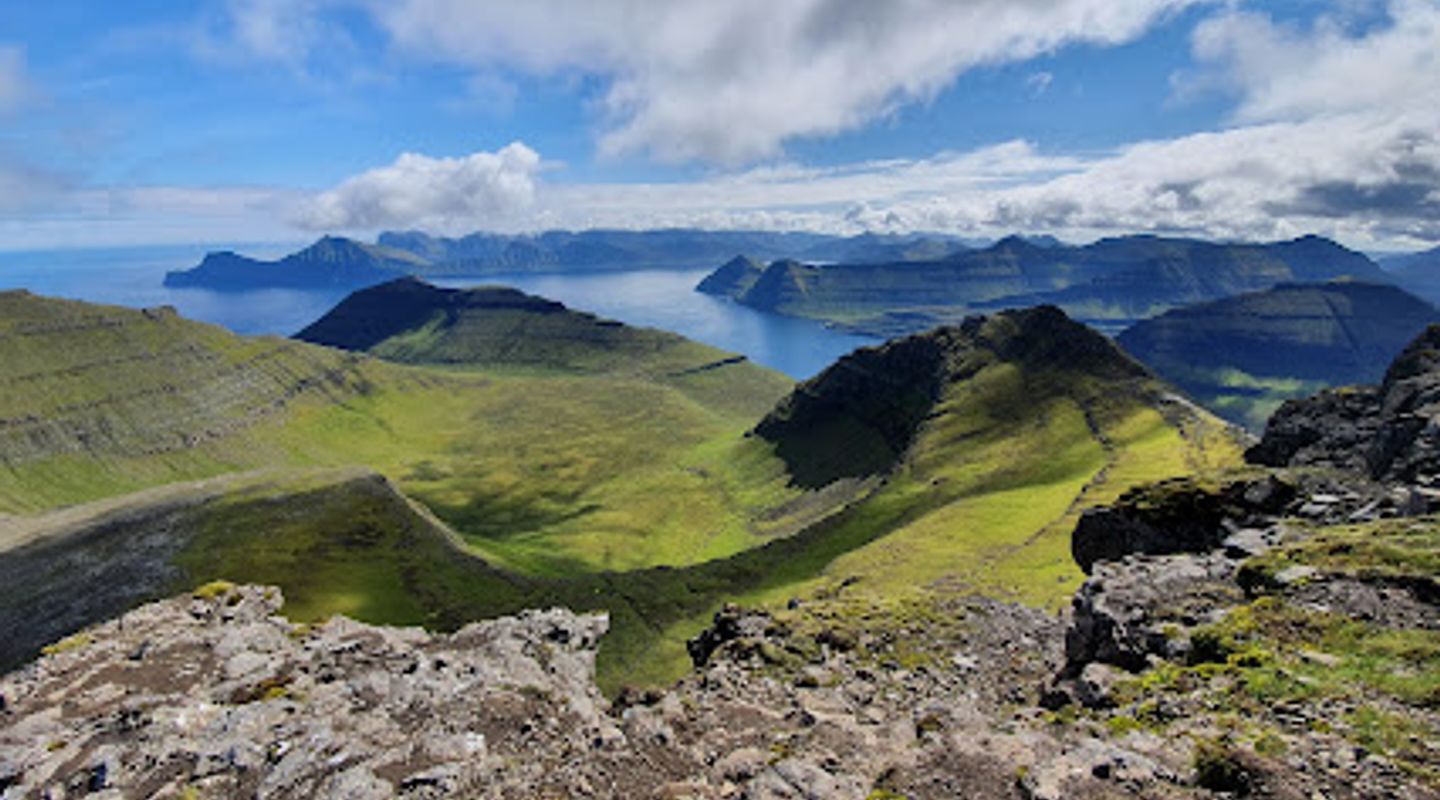
Slættaratindur, the highest mountain in the Faroe Islands, offers breathtaking panoramic views and a thrilling hiking experience. Adventurous tourists will find this peak a must-visit for its stunning scenery and natural beauty.
A brief summary to Slættaratindur
- FO

Know before you go
Hi, I'm Eve. Here are a few practical things to know before exploring Slættaratindur.
- Wear sturdy hiking boots for the rugged terrain.
- Check the weather forecast before your hike, as conditions can change rapidly.
- Bring plenty of water and snacks to keep your energy up during the climb.
- Start your hike early in the morning for a quieter experience and better visibility.
- Don't forget your camera to capture the stunning views from the top!
Do you manage this location?
Take control to get all the benefits, like improved information, better appearance, and stronger visibility across AI-powered discovery. Learn more about listing your business on Evendo
Activate your presenceOther nearby places you may find interesting
The closest places of the same kind, if this one is not quite what you had in mind.


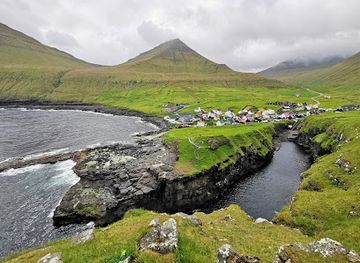
Explore Slættaratindur on the Map
A handpicked selection of must-see spots near Slættaratindur, mapped for you.
Getting There
-
Car
If you're traveling by car, head towards the village of Eiði. From Eiði, follow the road signs leading to the Slættaratindur trailhead. The driving route is approximately 20 km from Eiði, and the road is well-maintained. You will take Route 10, which offers beautiful views of the surrounding mountains. Once you reach the trailhead, there is limited parking available, so arrive early to secure a spot.
-
Public Transportation
To reach Slættaratindur using public transportation, take a bus from Tórshavn to Eiði. The journey takes about 1 hour. Once you arrive in Eiði, you may need to walk approximately 4 km to the trailhead. Depending on the bus schedule, plan your trip accordingly as services may be limited, especially on weekends.
-
Hiking
Once you reach the trailhead, the hike to the summit of Slættaratindur is approximately 3 km and can take about 1.5 to 2 hours depending on your fitness level. The trail is well-marked, but be prepared for steep sections and changing weather conditions. Make sure to wear appropriate hiking shoes and bring water and snacks.
Discover more about Slættaratindur













Your all‑in‑one travel companion app
Explore expert travel guides, compare and book tours, experiences, hotels, and more—all from the palm of your hand. Download now for seamless trip planning wherever your wanderlust takes you.


Explore More of Eysturoy
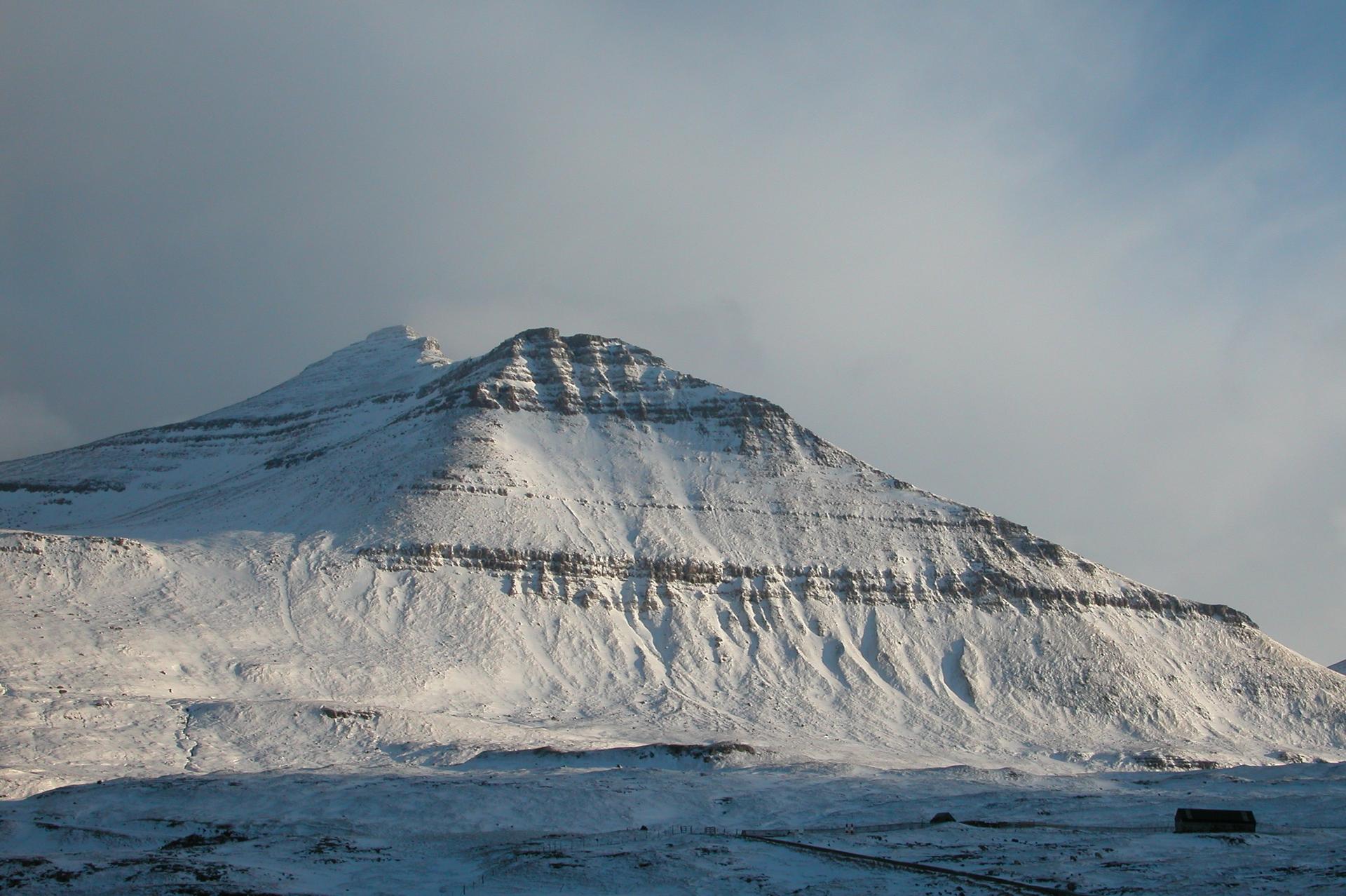
Looking beyond Slættaratindur? Discover Eysturoy for broader travel guides, local hot-spots, and regional highlights.
Explore Eysturoy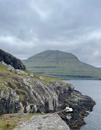
Explore the breathtaking beauty of Gorge Elduvík in the Faroe Islands, where stunning cliffs meet lush valleys in a picturesque natural setting.
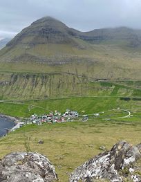
Discover the breathtaking beauty of the Gongutúrur / Hvithamar Trailhead in the Faroe Islands, where adventure meets stunning landscapes.