

Fort Hatch, Jacksonville Travel Guide
Explore Jacksonville's Fort Hatch, a historical landmark showcasing military heritage and beautiful views of the St. Johns River.
Fort Hatch, a captivating historical landmark in Jacksonville, Florida, invites tourists to explore its rich military history and scenic surroundings. This site offers a glimpse into the past while providing a serene space for reflection and appreciation of the area's heritage.
A brief summary to Fort Hatch
- Jacksonville, Downtown, Florida, 32204, US

Know before you go
Hi, I'm Eve. Here are a few practical things to know before exploring Fort Hatch.
Do you manage this location?
Take control to get all the benefits, like improved information, better appearance, and stronger visibility across AI-powered discovery. Learn more about listing your business on Evendo
Activate your presenceOther nearby places you may find interesting
The closest places of the same kind, if this one is not quite what you had in mind.



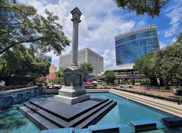
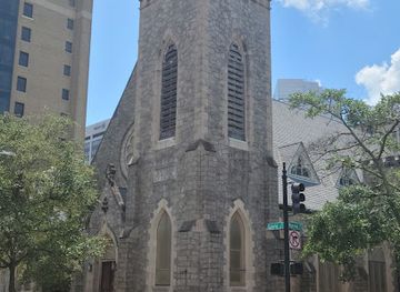
Explore Fort Hatch on the Map
A handpicked selection of must-see spots near Fort Hatch, mapped for you.
Getting There
-
Public Transit - Bus
To reach Fort Hatch from the Jacksonville city center, start by locating the nearest bus station. Board the JTA Bus Route 1 (Blue Line) towards the 'Southside' and pay your fare. Stay on the bus for approximately 20 minutes until you reach the 'Hogans Creek' stop. From there, exit the bus and walk north along Hogan Street. Continue walking until you reach E 2nd Street; turn right. Follow E 2nd Street until you reach Fort Hatch at the intersection with E 5th Street. Keep an eye out for signs indicating the historical landmark.
-
Bicycle
If you prefer cycling, you can rent a bike from one of the bike-sharing stations in downtown Jacksonville. Start your ride heading west on E Bay Street. Continue until you reach the intersection with N Laura Street; take a left onto N Laura Street. Follow this street until you reach E 5th Street. Turn right on E 5th Street, and you will find Fort Hatch just a few blocks down on your left. Make sure to follow bike lanes and traffic rules for safety.
-
Walking
If you're close enough to Fort Hatch, walking can be a pleasant option. Begin at the Jacksonville Landing and head northwest on E Bay Street towards the St. Johns River. Continue straight until you reach N Laura Street and take a left. Walk down N Laura Street until you intersect with E 5th Street. Turn right and walk until you see Fort Hatch on your left. The walk should take about 20-30 minutes depending on your pace.
-
Rideshare
For a more convenient option, consider using a rideshare service like Uber or Lyft. Open the app and enter 'Fort Hatch, Jacksonville, FL 32204' as your destination. Choose your preferred type of ride and request. Your driver will navigate you to the site, which is located in the Downtown area of Jacksonville, near E 5th Street.
Discover more about Fort Hatch













Your all‑in‑one travel companion app
Explore expert travel guides, compare and book tours, experiences, hotels, and more—all from the palm of your hand. Download now for seamless trip planning wherever your wanderlust takes you.


Explore More of Jacksonville
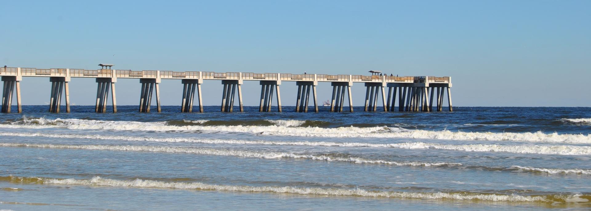
Looking beyond Fort Hatch? Discover Jacksonville for broader travel guides, local hot-spots, and regional highlights.
Explore Jacksonville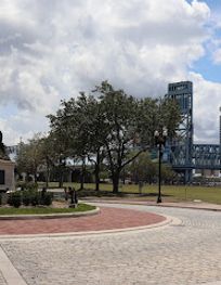
Discover the Andrew Jackson Statue in Jacksonville, a captivating tribute to a historical leader amidst a vibrant downtown atmosphere.

Explore the stunning Orange Mural in Downtown Jacksonville, a vibrant piece of public art that reflects the city's culture and creativity.
