

Fort Hatch, Northeast Florida Travel Guide
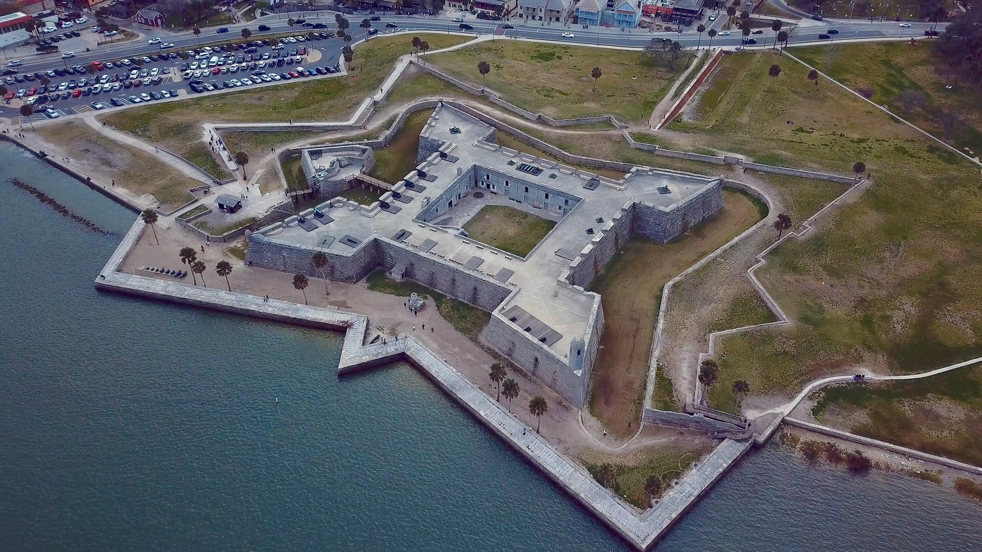
Explore the historic Fort Hatch in Jacksonville, Florida, a key landmark from the Civil War era, rich in history and scenic beauty.
Fort Hatch, located in the heart of Jacksonville, Florida, is a historical landmark that offers a glimpse into the region's military past. This site is perfect for history enthusiasts and tourists alike, providing a fascinating backdrop for exploration and reflection.
A brief summary to Fort Hatch
- Jacksonville, Downtown, Florida, 32204, US

Know before you go
Hi, I'm Eve. Here are a few practical things to know before exploring Fort Hatch.
- Visit during the early morning or late afternoon for the best lighting for photography.
- Bring comfortable walking shoes, as the area around Fort Hatch is great for exploring on foot.
- Don't forget your camera; the views from the fort are stunning and provide great photo opportunities.
- Check local schedules for any historical reenactments or events that may be taking place during your visit.
Do you manage this location?
Take control to get all the benefits, like improved information, better appearance, and stronger visibility across AI-powered discovery. Learn more about listing your business on Evendo
Activate your presenceOther nearby places you may find interesting
The closest places of the same kind, if this one is not quite what you had in mind.

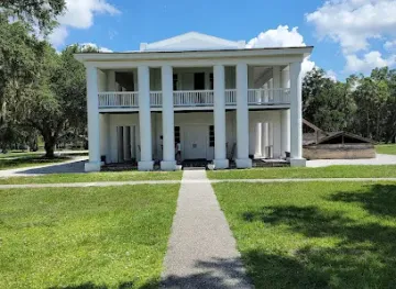
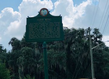
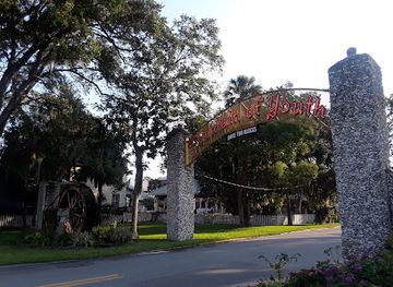
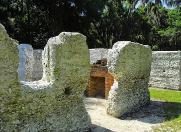
Explore Fort Hatch on the Map
A handpicked selection of must-see spots near Fort Hatch, mapped for you.
Getting There
-
Car
If you're traveling by car, start on I-95 N. Depending on where you are in Northeast Florida, take the appropriate exit to merge onto I-10 W toward Jacksonville. Continue on I-10 W for about 20 miles. Take exit 356B for US-17 N toward downtown Jacksonville. Follow US-17 N for approximately 3 miles. Use the left 2 lanes to merge onto I-95 N, then take exit 353B for US-90 W toward Riverside. After about 1 mile, turn left onto Oak Street. Continue straight to stay on Oak Street, then turn right onto Riverside Avenue. Follow this road, which will lead you to Fort Hatch located at 30.3300901, -81.6683963.
-
Public Transportation
If you prefer to use public transportation, take the Jacksonville Transportation Authority (JTA) bus. Start at your closest bus stop and find a route that connects you to the JTA Route 1 (which runs from the Jacksonville airport to downtown). Board the bus and ride it to the stop at the Jacksonville Landing. From there, it is about a 20-minute walk to Fort Hatch. Head southwest on E Bay St toward Laura St, then turn left onto Riverside Ave and continue until you reach Fort Hatch. Be aware that bus fares are typically around $1.50, and you can pay with cash or a JTA card.
Discover more about Fort Hatch













Your all‑in‑one travel companion app
Explore expert travel guides, compare and book tours, experiences, hotels, and more—all from the palm of your hand. Download now for seamless trip planning wherever your wanderlust takes you.


Explore More of Northeast Florida
Looking beyond Fort Hatch? Discover Northeast Florida for broader travel guides, local hot-spots, and regional highlights.
Explore Northeast Florida
Discover the tranquility of Memorial Park in Jacksonville, a beautiful tribute to veterans amidst lush landscapes and scenic river views.

Explore the stunning Orange Mural in Downtown Jacksonville, a vibrant piece of public art that reflects the city's culture and creativity.
