Chemin des Cimes Alsace, Alsace Travel Guide
Experience nature from a new perspective at Chemin des Cimes Alsace: Walk among the treetops, enjoy panoramic views, and discover the wonders of the Northern Vosges forest.
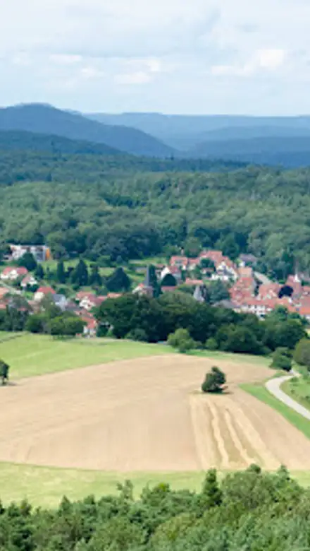
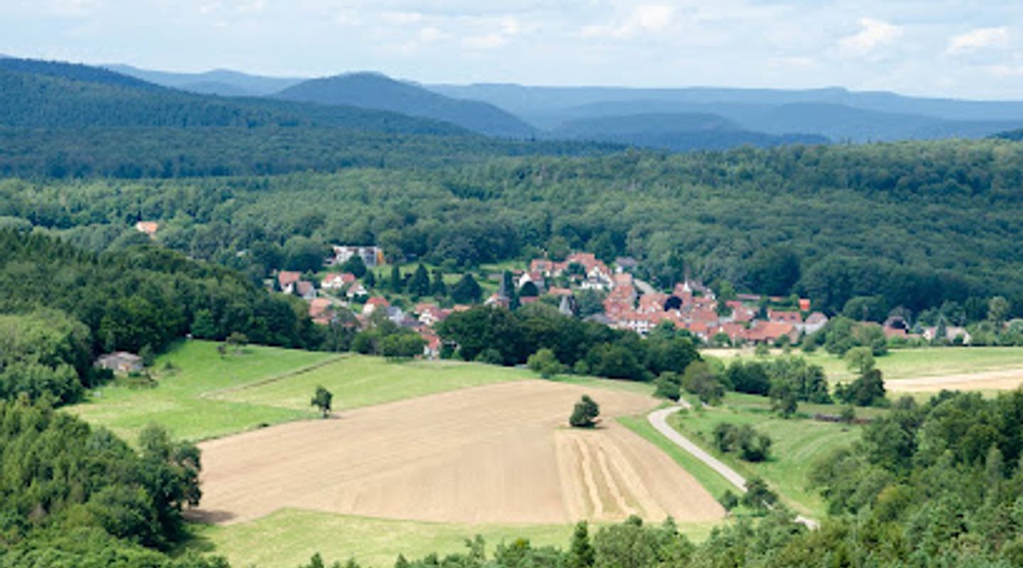
The Chemin des Cimes Alsace, or Treetop Walk Alsace, offers a unique perspective on the Northern Vosges. This elevated walkway gently ascends through the forest canopy, culminating in a 29-meter-high panoramic tower. Visitors can enjoy breathtaking 360° views encompassing the Rhine plain, the Black Forest, and the rolling hills of the Northern Vosges Regional Nature Park. Interactive learning stations dot the path, providing insights into the local flora and fauna, making it an educational and engaging experience for all ages. A thrilling 75-meter slide within the tower adds an extra element of fun. The site is easily accessible and caters to families, individuals, and those with mobility challenges, making it a must-visit destination in Alsace Verte.
A brief summary to Chemin des Cimes Alsace
- Schoenenbourg, Drachenbronn-Birlenbach, 67160, FR
- Click to display
- Click to display
- Monday 10 am-7 pm
- Wednesday 10 am-7 pm
- Thursday 10 am-7 pm
- Friday 10 am-7 pm
- Saturday 10 am-7 pm
- Sunday 10 am-7 pm

Know before you go
Hi, I'm Eve. Here are a few practical things to know before exploring Chemin des Cimes Alsace.
- Wear comfortable shoes, as you'll be doing a fair amount of walking, especially if you choose to walk from the parking area to the entrance.
- Check the weather forecast before you go and dress accordingly. The treetop walk is exposed to the elements, so be prepared for sun, wind, or rain.
- Allow at least 2-3 hours for your visit to fully enjoy the treetop walk, the panoramic tower, and the learning stations.
- Consider purchasing a combined ticket for the Chemin des Cimes and the Forêt d'Aventure Alsace for a full day of family fun.
- Bring a camera to capture the stunning panoramic views from the tower. The scenery is especially beautiful in the fall when the leaves change color.
Do you manage this location?
Take control to get all the benefits, like improved information, better appearance, and stronger visibility across AI-powered discovery. Learn more about listing your business on Evendo
Activate your presenceOther nearby places you may find interesting
The closest places of the same kind, if this one is not quite what you had in mind.

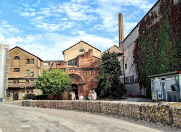

Explore Chemin des Cimes Alsace on the Map
A handpicked selection of must-see spots near Chemin des Cimes Alsace, mapped for you.
Getting There
-
Driving
From Drachenbronn-Birlenbach, follow signs for Chemin des Cimes. The attraction is located off Route de la Base Aérienne 901. Free parking is available at the base of the hill. From the parking area, you can either walk uphill to the entrance (approximately 1 hour and 15 minutes) or take the free shuttle train, which takes about 15 minutes. Parking is free.
-
Public Transport
From Wissembourg, take the Réseau interurbain Bas-Rhin - Fluo bus towards Drachenbronn-Birlenbach. Alight at the stop closest to Chemin des Cimes. From there, follow the road signs; it's approximately a 20-30 minute walk to the parking area. From the parking area, you can either walk uphill to the entrance (approximately 1 hour and 15 minutes) or take the free shuttle train, which takes about 15 minutes. Bus fare is approximately €2-€4.
Discover more about Chemin des Cimes Alsace
More to explore near Chemin des Cimes Alsace













Your all‑in‑one travel companion app
Explore expert travel guides, compare and book tours, experiences, hotels, and more—all from the palm of your hand. Download now for seamless trip planning wherever your wanderlust takes you.


Explore More of Alsace
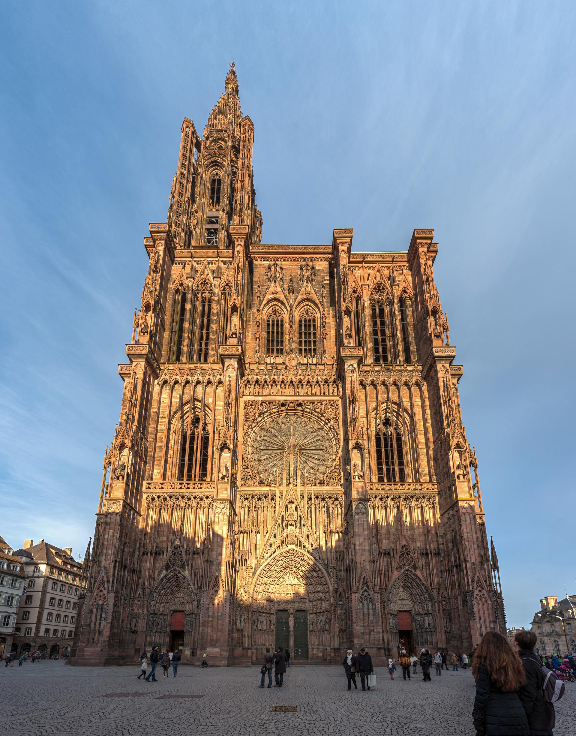
Looking beyond Chemin des Cimes Alsace? Discover Alsace for broader travel guides, local hot-spots, and regional highlights.
Explore Alsace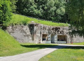
Explore the Ouvrage du Simserhof, a key part of the Maginot Line, and immerse yourself in history at this fascinating military museum in France.
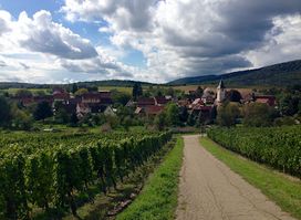
Discover the northernmost jewel of the Alsace Wine Route at Cave Vinicole de Cleebourg, where tradition meets terroir in every exquisite glass.