Rte des Crêtes Travel Guide
Free Guide: Discover breathtaking panoramic views, historical landmarks, and outdoor adventures along the Route des Crêtes, a scenic road through the heart of the Vosges Mountains.


A brief summary of Rte des Crêtes
Discover breathtaking panoramic views, historical landmarks, and outdoor adventures along the Route des Crêtes, a scenic road through the heart of the Vosges Mountains.
The Route des Crêtes, a historic road tracing the ridge of the Vosges Mountains, offers breathtaking panoramic views and a journey through significant historical sites. Built during World War I for strategic military purposes, it now serves as a scenic route for tourists, connecting Sainte-Marie-aux-Mines to Cernay. Along the way, discover stunning vistas, including the Black Forest and the Alps on clear days, and explore landmarks like the Grand Ballon, Hohneck, and Hartmannswillerkopf. Whether you're hiking, driving, or cycling, the Route des Crêtes promises an unforgettable experience immersed in nature and history. Be mindful of seasonal closures during winter months due to snow, and plan your visit accordingly to fully enjoy this iconic route.
- Address
- 88250 La Bresse
Getting there
Driving
Public Transport
Taxi/Ride-Share
Discover more about Rte des Crêtes
Overview
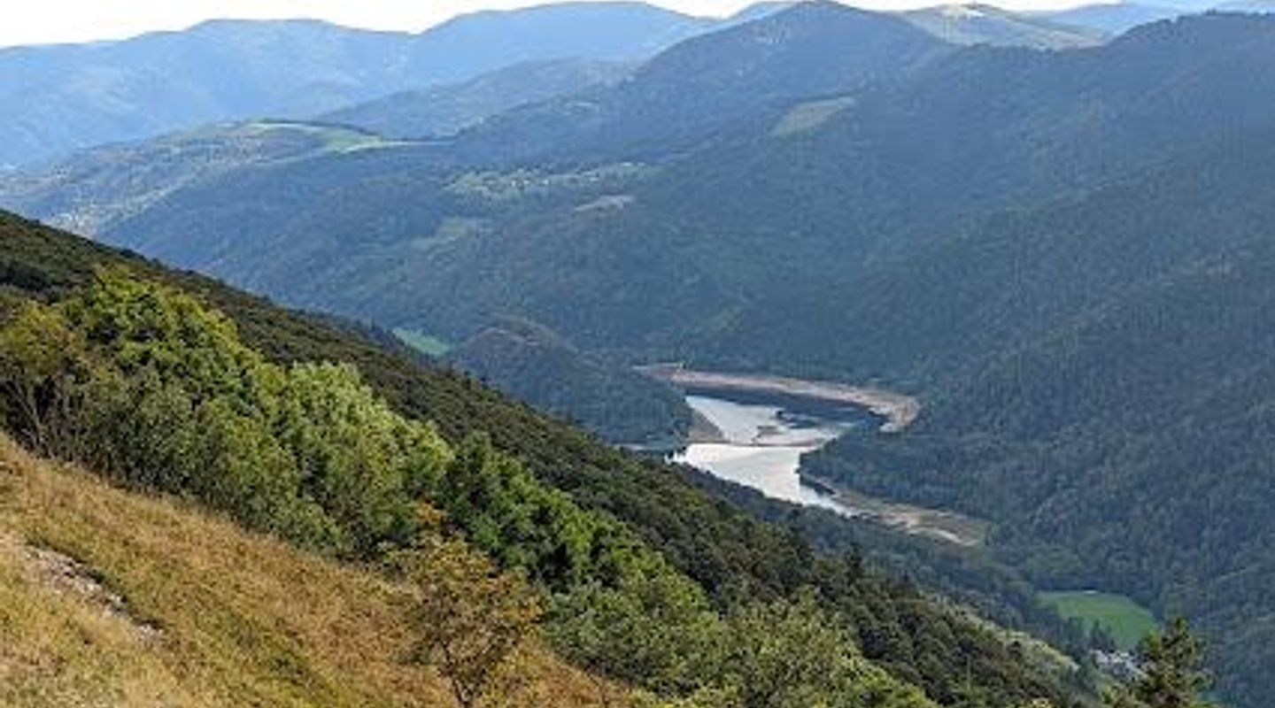
The Route des Crêtes, or Route of the Ridges, is an 89-kilometer road that winds through the Vosges Mountains in eastern France, offering some of the most spectacular panoramic views in the region. This iconic route traverses the Parc Naturel Régional des Ballons des Vosges, connecting Sainte-Marie-aux-Mines in the north to Cernay in the south. More than just a scenic drive, the Route des Crêtes is a journey through history, nature, and breathtaking landscapes. Originally constructed during World War I, the Route des Crêtes served a crucial strategic purpose. The French military needed a reliable supply route along the ridge to support troops fighting in the Vosges Mountains. The road allowed for the efficient movement of personnel and equipment, playing a vital role in the defense of the region. Today, the road stands as a testament to that history, with remnants of military installations still visible along the route. As you travel along the Route des Crêtes, you'll be treated to an ever-changing tapestry of landscapes. The road climbs to elevations exceeding 950 meters, with the highest point reaching 1,343 meters at the Col du Grand Ballon. From these heights, you can gaze out over rolling hills, dense forests, and picturesque valleys. On clear days, the views extend far beyond the Vosges, encompassing the Black Forest in Germany and even the distant peaks of the Alps. The Route des Crêtes is dotted with numerous points of interest, each offering its own unique charm and perspective. The Grand Ballon, the highest peak in the Vosges, is a must-see. A short hike to the summit rewards you with unparalleled panoramic views. The Hohneck, another prominent peak, offers equally stunning vistas and is a popular spot for hiking and hang-gliding. The Col de la Schlucht, a mountain pass along the route, is a gateway to numerous hiking trails and offers access to the Jardin d'Altitude du Haut Chitelet, a beautiful alpine garden. For those interested in history, the Hartmannswillerkopf, also known as the Vieil Armand, is a poignant reminder of the First World War. This mountain was the site of intense fighting between French and German forces, and a national monument now stands in remembrance of the soldiers who lost their lives here. The ruins of Freundstein Chateau, the highest castle in Alsace, also offer a glimpse into the region's rich past. The Route des Crêtes is not just a destination for sightseeing; it's also a haven for outdoor enthusiasts. Hiking is a popular activity, with trails ranging from easy strolls to challenging climbs. The GR5 hiking trail, which traverses the Vosges Mountains, follows a portion of the Route des Crêtes, offering multi-day trekking opportunities. Cycling is another great way to experience the route, although the hilly terrain can be demanding. Road cycling and mountain biking are both popular, with numerous routes catering to different skill levels. In the winter months, the Route des Crêtes transforms into a winter wonderland. While portions of the road are closed due to snow, the area becomes a popular destination for cross-country skiing and snowshoeing. Several ski resorts, including La Bresse-Hohneck and Le Markstein, are located near the route, offering downhill skiing and snowboarding opportunities. Along the Route des Crêtes, you'll find a variety of charming villages and towns, each with its own unique character. La Bresse, a town nestled in the heart of the Vosges, is a popular base for exploring the region. Sainte-Marie-aux-Mines, known for its silver mines, offers a glimpse into the area's industrial past. Cernay, located at the southern end of the route, is a gateway to the Alsace region. To fully experience the Route des Crêtes, it's recommended to plan your visit carefully. The road is generally open from April to November, but closures may occur due to weather conditions. During the peak season, traffic can be heavy, especially on weekends. Consider visiting during the shoulder seasons (spring or fall) for a more relaxed experience. Be sure to check the weather forecast before you go and pack accordingly. The mountains can experience sudden changes in weather, so it's always best to be prepared. Whether you're a history buff, a nature lover, or an outdoor enthusiast, the Route des Crêtes offers something for everyone. This iconic road is a testament to the beauty and resilience of the Vosges Mountains, and a journey along its winding path is sure to create lasting memories. While traveling the Route des Crêtes, consider indulging in the local culinary delights. The region is known for its hearty cuisine, with dishes like potée Lorraine (a hearty stew), quiche Lorraine, and tarte flambée (a thin-crust pizza-like dish) being popular choices. Be sure to sample the local cheeses, such as Munster and Bargkass, and wash it all down with a glass of Alsatian wine or local beer. Many traditional fermes-auberges (farmhouse inns) along the route offer authentic regional cuisine in a cozy setting. The Route des Crêtes is more than just a road; it's an experience. It's a chance to connect with nature, to learn about history, and to immerse yourself in the culture of the Vosges Mountains. So, pack your bags, hit the road, and discover the magic of the Route des Crêtes.
Evendo Review Centre
 Google
Guest reviews
Explore Rte des Crêtes on the map
A handpicked selection of must-see spots near Rte des Crêtes, mapped for you.
Get your free copy of our complete guide to Rte des Crêtes, delivered straight to you.
Everything on this page, from opening hours and how to get there to Eve’s tips and the best time to go, in one PDF you can read offline, print or share.
Already have an account? Sign in
Your Rte des Crêtes guide is ready.
We'll send it to · Not you? Sign out

Getting your guide ready…
We are putting together a fresh copy of the Rte des Crêtes guide. This can take up to a minute.
This can take a few moments. If your browser asks, choose Allow so the download can start. You'll find the guide in your Downloads folder.
Nothing happened? Download it again
Sorry, the guide is taking longer than usual. Please try again in a minute, or get it by email instead.
Other nearby places you may find interesting
The closest places of the same kind, if this one is not quite what you had in mind.
-
-
-
-
-


Swipe for more places
More to explore near Rte des Crêtes

 Best experiences near Rte des Crêtes
 Best hotels near Rte des Crêtes
 Best landmarks near Rte des Crêtes
 Best attractions near Rte des Crêtes
 Best shops near Rte des Crêtes
 Best restaurants near Rte des Crêtes
 Best bars near Rte des Crêtes
Do you manage this location?
Take control to get all the benefits, like improved information, better appearance, and stronger visibility across AI-powered discovery.
Explore more

Explore more of Alsace
Discover Alsace: A scenic region of France blending French and German cultures, famed for its charming villages, world-class wines, and stunning natural landscapes.
Explore Alsace
Explore more of France
Explore France: A land of romance, history, and unparalleled beauty, from the iconic streets of Paris to the serene landscapes of Provence and the luxury of the French Riviera.
Explore France