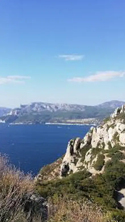
Rte des Crêtes Travel Guide
Free Guide: Drive the Route des Crêtes: Where dramatic cliffs meet the azure Mediterranean, offering panoramic views and unforgettable coastal beauty within the Calanques National Park.


A brief summary of Rte des Crêtes
Drive the Route des Crêtes: Where dramatic cliffs meet the azure Mediterranean, offering panoramic views and unforgettable coastal beauty within the Calanques National Park.
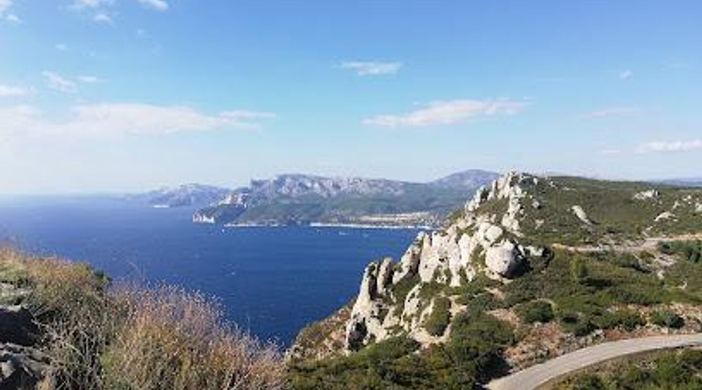
The Route des Crêtes, a stunning cliff-top road connecting La Ciotat and Cassis, offers unparalleled panoramic views of the Mediterranean coastline. As part of the Calanques National Park, this scenic drive showcases the dramatic Falaises Soubeyranes, among the highest sea cliffs in Europe. Along the 15-kilometer route, numerous viewpoints provide breathtaking vistas of the bays, islands, and rugged rock formations. The road itself, carved into the limestone, is a thrilling experience, with sharp bends and close proximity to the cliffs. Whether you're a nature enthusiast, a photography buff, or simply seeking a memorable drive, the Route des Crêtes promises an unforgettable journey through one of France's most beautiful landscapes. Be sure to check access restrictions, especially during summer and windy conditions, to fully enjoy this coastal gem.
- Address
- Rte des Crêtes
Getting there
Driving
Public Transport
Taxi/Ride-Share
Discover more about Rte des Crêtes
Overview
The Route des Crêtes, a jewel of the French Riviera, is a breathtaking coastal road that winds its way along the top of the Falaises Soubeyranes, connecting the charming towns of La Ciotat and Cassis. This 15-kilometer stretch of road, also known as D141, is more than just a scenic drive; it's an immersive experience that showcases the raw beauty of the Mediterranean coastline and the dramatic geological formations of the Calanques National Park. As you embark on this unforgettable journey, prepare to be captivated by the panoramic views that unfold at every turn. The Falaises Soubeyranes, among the highest sea cliffs in Europe, plunge dramatically into the azure waters below, creating a mesmerizing contrast of rugged rock and shimmering sea. Numerous viewpoints, strategically placed along the route, offer ample opportunities to stop, soak in the scenery, and capture stunning photographs. From these vantage points, you can gaze out over the Bay of La Ciotat, with its picturesque old town and the Île Verte in the distance. On a clear day, the islands of Marseille shimmer on the horizon, adding to the sense of boundless expanse. As you continue along the route, the Calanques massif rises majestically, its jagged peaks and hidden coves beckoning exploration. The road itself is an adventure, carved into the limestone cliffs and hugging the coastline with a series of hairpin bends and exhilarating ascents and descents. The close proximity to the cliffs adds an element of thrill, making the drive an experience in itself. Keep an eye out for unique rock formations, such as Le Pont Naturel, a natural archway sculpted by erosion, and the Dent du Chat, an intriguing stone arch that resembles a cat's tooth. At the highest point of the Route des Crêtes, you'll find the Sémaphore, a historic signal station dating back to 1791. This military base, perched 349 meters above sea level, controls navigation and ensures the safety of pleasure craft in the area. Nearby, the Cœur d'Honoré, a 7-hectare plot of land with terraced gardens and the ruins of a heart-shaped enclosure wall, offers a glimpse into the region's past. The Route des Crêtes is not only a feast for the eyes but also a haven for outdoor enthusiasts. Several hiking trails branch off from the road, inviting you to explore the surrounding landscape on foot. The Falaises Soubeyranes trail, an easy 2.6-kilometer loop, offers stunning views of the cliffs and the sea. For a more challenging hike, the Boucle 394, a 9-kilometer circuit, takes you deeper into the Calanques massif. The Sémaphore > Cap Canaille trail, a moderate 7.6-kilometer hike, leads to the summit of Cap Canaille, the highest point in the area. The Route des Crêtes has also served as a backdrop for numerous films, including the classic comedy "Sur un arbre perché" (Balduin, der Sonntagsfahrer) with Louis de Funès. Its dramatic scenery and winding roads have made it a popular location for car commercials and action sequences. Before embarking on your Route des Crêtes adventure, it's essential to check access restrictions. During the summer months (June 1 to September 30), the road may be closed to motorized traffic on days classified as "red" for fire danger. The road may also be closed during periods of high wind or other adverse weather conditions. You can check the current access status on the Calanques National Park website or by downloading the "My Calanques" app. Every Sunday from the end of April to the end of September, the Route des Crêtes is reserved for pedestrians and alternative modes of transport, as part of the "les Crêtes en pleine nature" initiative. This provides a unique opportunity to experience the road in a more peaceful and sustainable way. The Route des Crêtes is a testament to the power of nature and the beauty of the French coastline. Whether you're driving, hiking, or simply soaking in the views, this scenic road promises an unforgettable experience that will leave you in awe of the Mediterranean landscape. As you plan your visit, keep in mind that the Route des Crêtes is just one part of the larger Calanques National Park. This protected area encompasses a vast expanse of coastline, islands, and inland mountains, offering a wealth of opportunities for outdoor recreation and exploration. From hiking and rock climbing to swimming and boating, the Calanques National Park has something to offer every type of traveler. So, pack your bags, grab your camera, and prepare to be amazed by the Route des Crêtes, a coastal masterpiece that will stay with you long after you've left its winding roads behind.
Evendo Review Centre
 Google
Guest reviews
Explore Rte des Crêtes on the map
A handpicked selection of must-see spots near Rte des Crêtes, mapped for you.
Get your free copy of our complete guide to Rte des Crêtes, delivered straight to you.
Everything on this page, from opening hours and how to get there to Eve’s tips and the best time to go, in one PDF you can read offline, print or share.
Already have an account? Sign in
Your Rte des Crêtes guide is ready.
We'll send it to · Not you? Sign out

Getting your guide ready…
We are putting together a fresh copy of the Rte des Crêtes guide. This can take up to a minute.
This can take a few moments. If your browser asks, choose Allow so the download can start. You'll find the guide in your Downloads folder.
Nothing happened? Download it again
Sorry, the guide is taking longer than usual. Please try again in a minute, or get it by email instead.
Unlock the best of Rte des Crêtes
Skip-the-line tickets, guided tours with entry, and walking tours of the area, booked in a few clicks.
 Tour with entry
Private Full-Day Calanques Tour: St-Cyr to Cassis
from $138.84 Tour with entry
Cassis Domaine forest des janots and route des ridges en Buggy
from $309.72 Tour with entry
Shore Excursion: Drive a Convertible to Cassis & Calanques
from $586.33 Tour with entry
Private tour of Marseille and Cassis on Tesla city tour 5H
from $586.33

Other nearby places you may find interesting
The closest places of the same kind, if this one is not quite what you had in mind.
-
-
-
-
-


Swipe for more places
More to explore near Rte des Crêtes

 Best experiences near Rte des Crêtes

 Best hotels near Rte des Crêtes

 Best landmarks near Rte des Crêtes

 Best attractions near Rte des Crêtes

 Best shops near Rte des Crêtes

 Best restaurants near Rte des Crêtes

 Best bars near Rte des Crêtes
Do you manage this location?
Take control to get all the benefits, like improved information, better appearance, and stronger visibility across AI-powered discovery.
Explore more

Explore more of Provence
Discover the enchanting allure of Provence, France, where rolling lavender fields, historic towns, and Mediterranean coastline offer a perfect escape.
Explore Provence
Explore more of France
Explore France: A land of romance, history, and unparalleled beauty, from the iconic streets of Paris to the serene landscapes of Provence and the luxury of the French Riviera.
Explore France