From Eve
Know before you go
Hi, I'm Eve. Here are a few practical things to know before exploring Pont De Prat.
Local know-how to help you travel smarter and make the most of every moment.

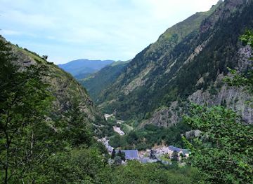
Discover Pont de Prat in Loudenvielle: Your launchpad for Pyrenean adventures, scenic hikes, and breathtaking mountain views!
Pont de Prat, located in the Louron Valley near Loudenvielle, France, serves as a popular starting point for hikes into the Pyrenees. This area, marked by a hydroelectric power station, provides access to trails leading to scenic destinations like Lake Caillaouas and the Soula Refuge.
Opening times, essentials, and a few local tips gathered into one calmer, easier-to-scan planning section.
Hi, I'm Eve. Here are a few practical things to know before exploring Pont De Prat.
Local know-how to help you travel smarter and make the most of every moment.
Walking
From the parking area at Pont de Prat, trailheads are clearly marked with yellow signs indicating trail numbers 19 (La Pez) and 20 (Refuge de la Soula). Follow these signs to access various hiking routes. Be prepared for uphill trekking immediately after departing from the parking area.
Public Transport
From Loudenvielle, public buses connect to nearby towns such as Arreau. From Arreau, you can take a taxi or rideshare to Pont de Prat, which is approximately 15 km away. A rideshare will cost about €3 and a taxi will cost between €30-€40.
Taxi
From Loudenvielle, a taxi ride to Pont de Prat will cost approximately €15-€20, depending on the taxi company and time of day. The journey is about 7 km and takes roughly 10-15 minutes. Taxi services are available in Loudenvielle, but it's advisable to book in advance.
Driving
From Loudenvielle, follow the D725 road south for approximately 7 km. The road ends at Pont de Prat, where you'll find a parking area near the hydroelectric power station. Parking is free, but spaces can be limited during peak season.
Use Tower Bridge as your starting point for nearby food, family ideas, nightlife, and more local discoveries.

Explore expert travel guides, compare and book tours, experiences, hotels, and more—all from the palm of your hand. Download now for seamless trip planning wherever your wanderlust takes you.
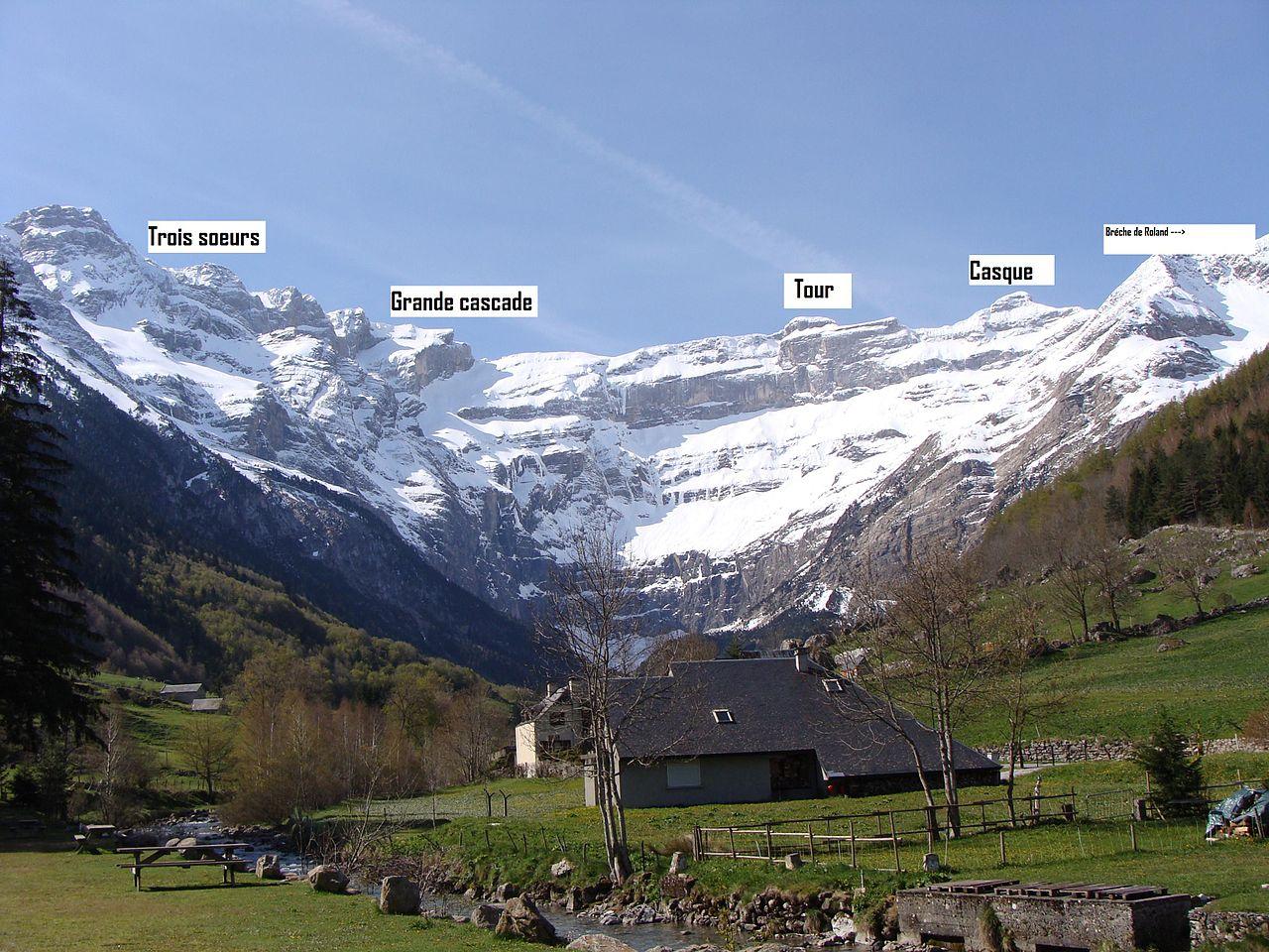
Discover the Pyrenees in France: A paradise of majestic peaks, rich history, and thrilling outdoor adventures in one of Europe's most breathtaking mountain ranges.
Tell me more about Pyrenees