
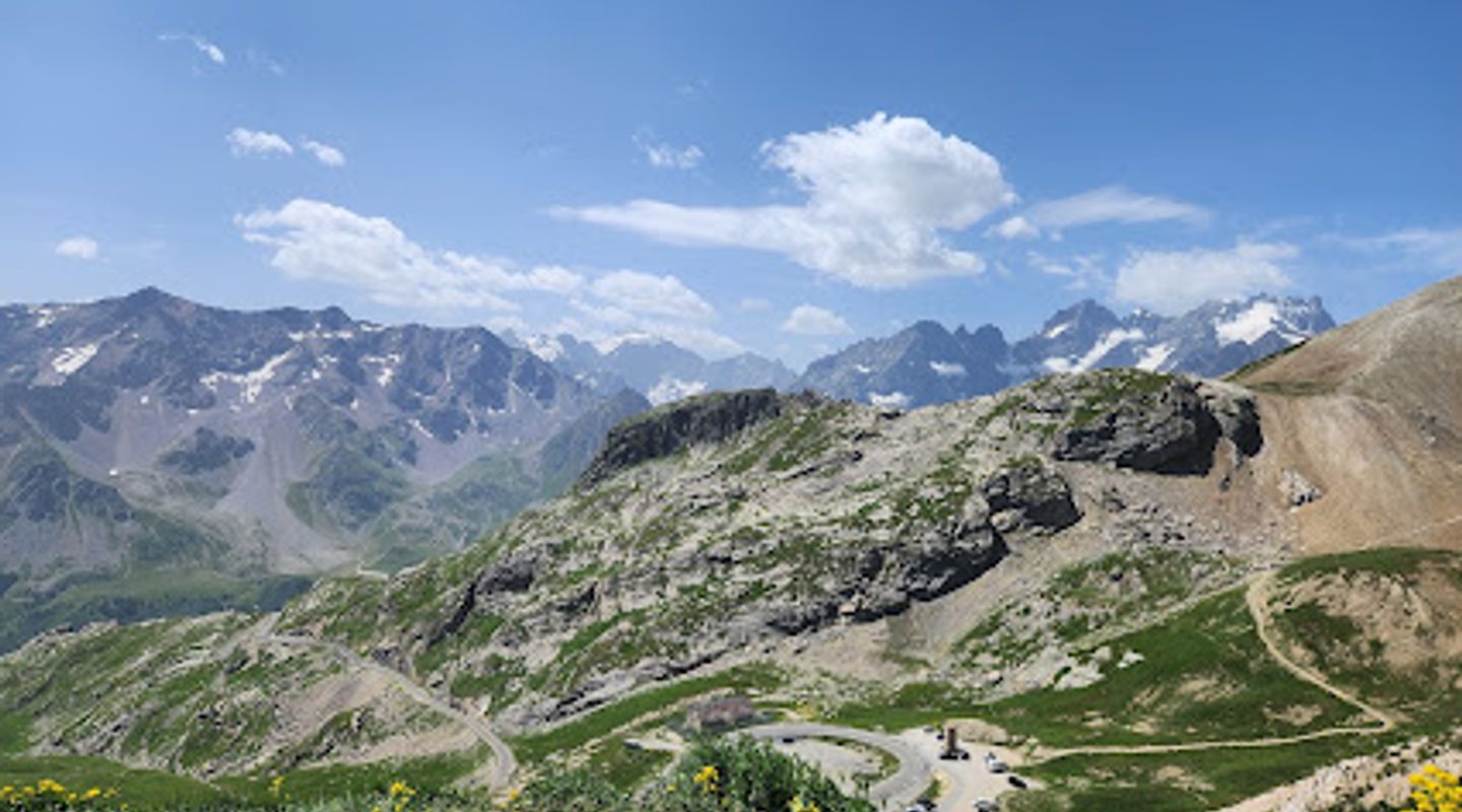
Col du Galibier, Rhone Alpes Travel Guide
Experience the legendary Col du Galibier: a Tour de France icon offering breathtaking alpine views and challenging climbs in the French Alps.
The Col du Galibier, standing at 2,642 meters (8,668 feet), is a high mountain pass in the French Dauphiné Alps. Renowned as one of the highest paved roads in the Alps and a frequent highlight of the Tour de France, it connects Saint-Michel-de-Maurienne and Briançon, offering breathtaking panoramic views and a challenging ascent for cyclists and drivers alike.
A brief summary to Col du Galibier
- D902B, Le Monêtier-les-Bains, 05220, FR

Know before you go
Hi, I'm Eve. Here are a few practical things to know before exploring Col du Galibier.
- Check road conditions and weather forecasts before heading out, as the pass is subject to closure due to snow, especially early and late in the season.
- Bring layers of clothing, as the weather at the summit can be unpredictable and significantly colder than in the valleys.
- If cycling, ensure your bike is in good condition with appropriate gearing for steep climbs, and be prepared for high-altitude conditions.
- Take your time and enjoy the scenery, stopping at designated viewpoints to capture the panoramic vistas.
- Be aware that the parking at the summit is limited and can get crowded during peak season.
Do you manage this location?
Take control to get all the benefits, like improved information, better appearance, and stronger visibility across AI-powered discovery. Learn more about listing your business on Evendo
Activate your presenceOther nearby places you may find interesting
The closest places of the same kind, if this one is not quite what you had in mind.
Explore Col du Galibier on the Map
A handpicked selection of must-see spots near Col du Galibier, mapped for you.
Getting There
-
Driving
From Grenoble, take the D1091 towards Briançon. This route will lead you to the Col du Lautaret. From there, follow the D902B to the summit of the Col du Galibier. Be prepared for winding roads and steep inclines. Parking is available at the summit, but it can be limited. Note that the road is typically closed from late October to late May due to snow. There are no tolls.
-
Public Transport
While there isn't direct public transport to the very top of Col du Galibier, you can take a train to Saint-Michel-Valloire. From there, during the summer months, local bus services or taxis might be available to take you closer to the Col du Galibier, but confirm schedules and availability in advance. The final ascent would likely require cycling or hiking. Train fares to Saint-Michel-Valloire from Grenoble can range from €20-€40.
-
Cycling
The Col du Galibier is a popular cycling destination. Cyclists often start from either Saint-Michel-de-Maurienne (north side, longer climb) or from the Col du Lautaret (south side, shorter but still challenging). From Col du Lautaret, the climb is 8.7km at an average of 6.5%. Be prepared for significant elevation gain and changing weather conditions. Ensure your bike is properly equipped, and carry sufficient water and supplies.
Discover more about Col du Galibier













Your all‑in‑one travel companion app
Explore expert travel guides, compare and book tours, experiences, hotels, and more—all from the palm of your hand. Download now for seamless trip planning wherever your wanderlust takes you.


Explore More of Rhone Alpes
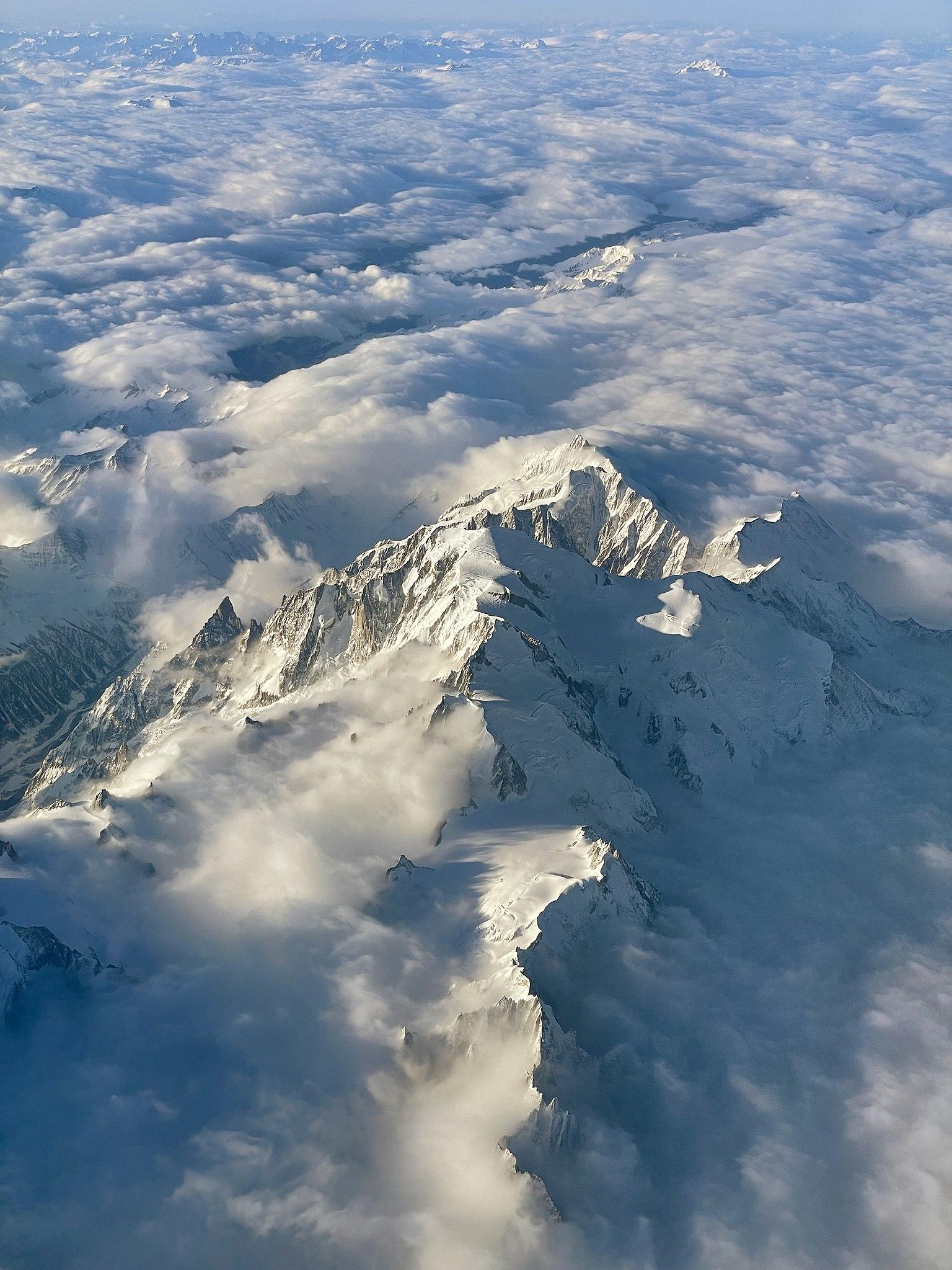
Looking beyond Col du Galibier? Discover Rhone Alpes for broader travel guides, local hot-spots, and regional highlights.
Explore Rhone Alpes
Discover the breathtaking landscapes and outdoor adventures at Le Bas Monetier in the heart of the French Alps, a must-visit destination for every traveler.
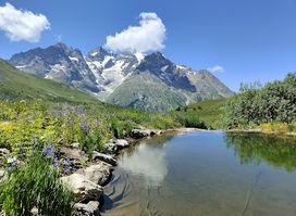
Explore the stunning Gallery Alpe Alpine Botanical Garden Lautaret, a unique haven for alpine plants in the heart of the French Alps.
