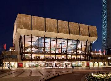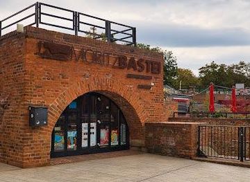
Moritzbastei
Experience the Vibrant Heart of Leipzig at Moritzbastei
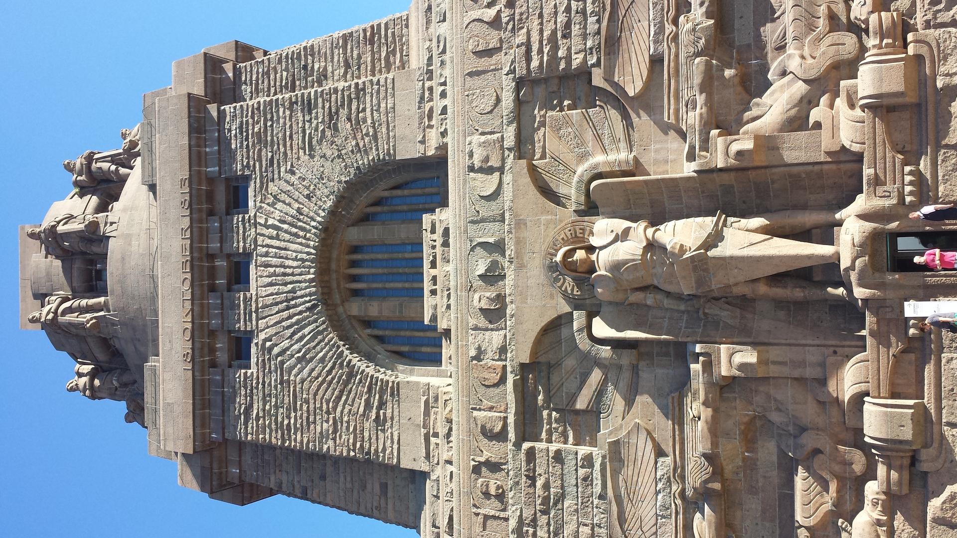
Explore the Geodetic Reference Point in Leipzig, where history meets science in a fascinating tourist attraction.
Discover the Geodetic Reference Point in Leipzig, a fascinating tourist attraction that showcases the city's historical significance in geodesy and cartography. This landmark is perfect for history enthusiasts and curious travelers alike.
Opening times, essentials, and a few local tips gathered into one calmer, easier-to-scan planning section.
Walking
If you are starting from the central square, Markt, walk towards the north-west along Grimmaische Strasse. Continue straight until you reach the landmark of the Old Town Hall. From there, head west on Ritterstrasse, and after a short walk, you will arrive at Schillerstraße. Turn left onto Schillerstraße. The Geodätischer Referenzpunkt is located at Schillerstraße, 04109 Leipzig, just a few minutes away from the Old Town Hall.
Public Transport
If you are near Augustusplatz, take tram line 9 towards the station 'Leipzig, Dölitz'. Get off at the stop 'Leipzig, Goethestraße'. From there, walk north on Goethestraße and turn right onto Schillerstraße. The Geodätischer Referenzpunkt is located along this street and is a short walk away from the tram stop.
Biking
If you have rented a bike, start from the Leipzig City Center and head towards the north using the bike lanes along Karl-Liebknecht-Straße. Continue until you reach Schillerstraße and turn left. The Geodätischer Referenzpunkt will be on your right as you cycle down Schillerstraße.
Use Tower Bridge as your starting point for nearby food, family ideas, nightlife, and more local discoveries.

Explore expert travel guides, compare and book tours, experiences, hotels, and more—all from the palm of your hand. Download now for seamless trip planning wherever your wanderlust takes you.
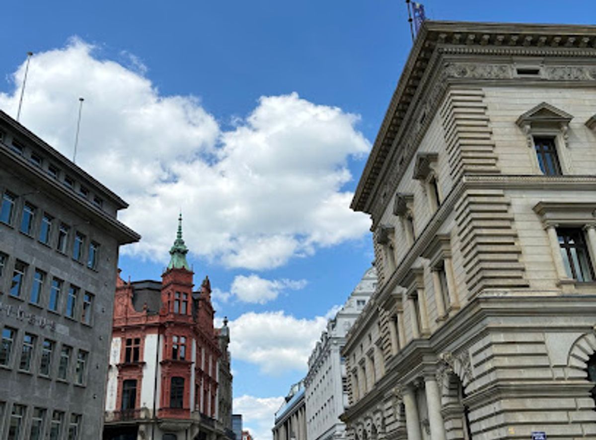
Explore Leipzig, Germany's hidden gem, where history, music, art, and nature come together to create a vibrant and dynamic tourist destination.
Tell me more about Leipzig