From Eve
Know before you go
Hi, I'm Eve. Here are a few practical things to know before exploring Mapa en Relieve de Guatemala.
Local know-how to help you travel smarter and make the most of every moment.
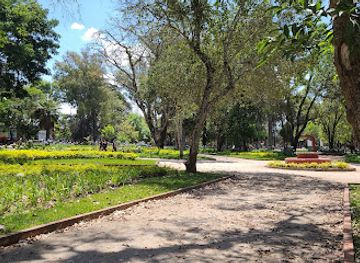
Explore Guatemala's geography in miniature at this unique, century-old, open-air relief map in Guatemala City.
The Mapa en Relieve de Guatemala is a large-scale, open-air relief map of Guatemala, offering a unique geographical perspective of the country. Built in 1905, it allows visitors to explore Guatemala's diverse terrain in a single view.
Opening times, essentials, and a few local tips gathered into one calmer, easier-to-scan planning section.
Hi, I'm Eve. Here are a few practical things to know before exploring Mapa en Relieve de Guatemala.
Local know-how to help you travel smarter and make the most of every moment.
Taxi
Taxis are readily available in Guatemala City, especially in tourist areas and transportation hubs. A short taxi ride from the city center (Zone 1) to the Mapa en Relieve (Zone 2) typically costs between Q25 and Q50, but it's advisable to agree on the fare beforehand. Ensure the taxi is official and displays proper identification for safety. Cost: Q25-Q50.
Public Transport
The Linea 2 bus goes to Mapa En Relieve in Zone 2. From the city center (Zone 1), take the Transmetro to a station near Zone 2. From there, you can take a local bus (like Linea 2) or walk to the Mapa en Relieve. The bus fare is around Q1. Cost: Q1 (bus fare).
Walking
From Plaza de la Constitución in Zone 1, the Mapa en Relieve is a pleasant, safe walk. Head north, and the walk is approximately 30 minutes. Cost: Free.
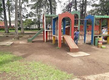
Use Tower Bridge as your starting point for nearby food, family ideas, nightlife, and more local discoveries.

Explore expert travel guides, compare and book tours, experiences, hotels, and more—all from the palm of your hand. Download now for seamless trip planning wherever your wanderlust takes you.
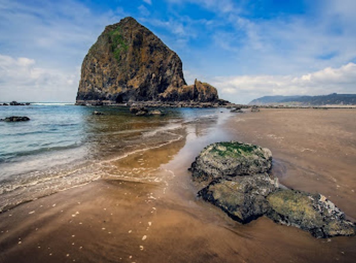
Discover the hidden paradise of Guatemala's Caribbean Coast, where vibrant cultures meet pristine beaches and lush jungles for an unforgettable adventure.
Tell me more about Caribbean Coast