Upper Guinea · Travel guide · Updated 2026

Discover the Untamed Beauty of Upper Guinea

Explore Upper Guinea: A Hidden Gem of Natural Landscapes, Rich Culture, and Historical Wonders in Northeastern Guinea.

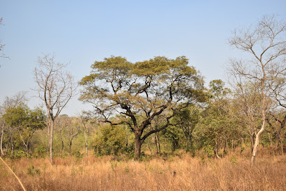
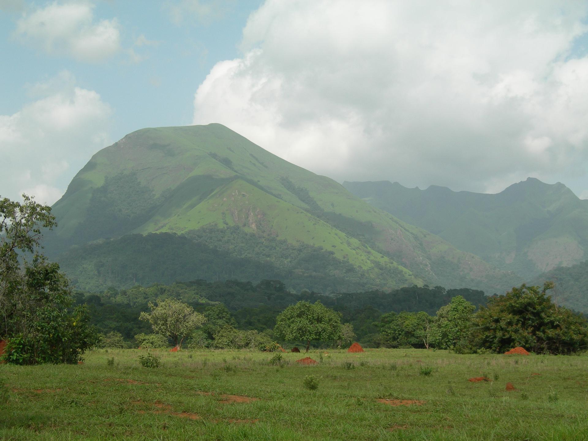
Upper Guinea is a region brimming with natural beauty, cultural richness, and historical significance. Located in the northeastern part of Guinea, this area is less frequented by tourists, offering a unique and off-the-beaten-path experience. The region is characterized by its expansive savannas, lush forests, and winding rivers, making it a paradise for nature lovers and adventurers alike. Visitors to Upper Guinea can explore the majestic Niger River, which flows through the region and provides opportunities for boat trips, fishing, and bird watching. The area is also home to several national parks and wildlife reserves, where you can witness a diverse range of flora and fauna, including elephants, hippos, and a variety of bird species. 
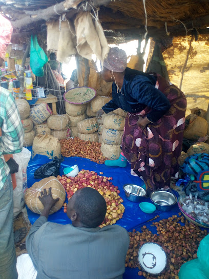
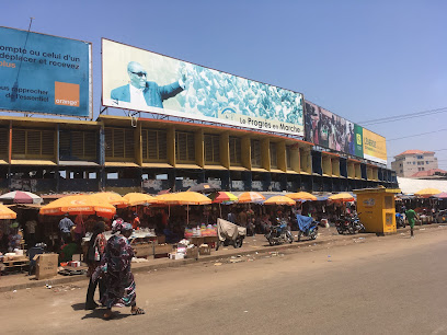
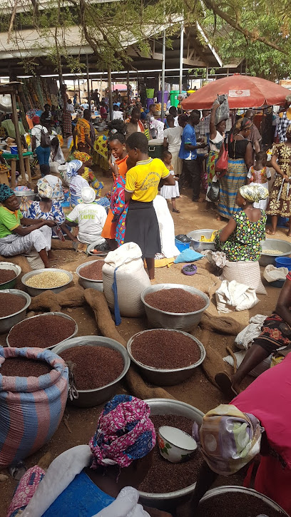
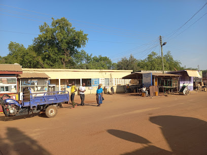
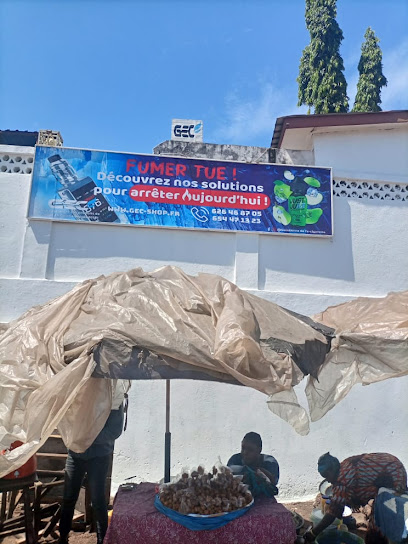
Culturally, Upper Guinea is a mosaic of ethnic groups, each with its own traditions and customs. The Malinke people, one of the prominent ethnic groups in the region, are known for their vibrant music and dance, which you can experience during local festivals and ceremonies. The region’s towns and villages offer a glimpse into traditional Guinean life, with bustling markets, artisanal crafts, and warm hospitality from the locals. History enthusiasts will find Upper Guinea intriguing, as it was once part of the Mali Empire and has many historical sites that tell the story of its rich past. From ancient mosques to colonial-era buildings, there is much to discover about the region’s historical significance. Whether you're seeking adventure, culture, or history, Upper Guinea promises an unforgettable journey.

When is the best time to go to Upper Guinea?

Weather at a glance

Use the monthly temperature and precipitation trends to compare typical conditions across the year before planning countryside walks, town visits, and heritage days.

Temperature

°C

Precipitation

mm
Warmest monthsJun–Aug
Longest daylightJun–Aug
Driest periodDec–Feb

Explore places in Upper Guinea

    See all →

    Iconic landmarks you can't miss

    Classic Upper Guinea sights that mirror the landmark pins above, with a little more context before users explore further.

    Essential places to dine

    The dining ideas below match the food pins above, making the map and editorial recommendations work together.

    Markets, malls and hidden boutiques

    Each shopping card aligns with a mapped browsing area, from major retail streets to market-led detours.

    Essential bars & hidden hideouts

    The evening cards below match the bars layer in the map, so browsing and orientation stay connected.

    File:Mount Nimba Strict Nature Reserve-108450.jpg - Wikimedia Commons
    Destination guide

    More about Guinea

    Explore Guinea's hidden beauty, from lush rainforests and majestic waterfalls to vibrant markets and rich cultural heritage in West Africa.

    Tell me more about Guinea
    Mobile App
    Get the app

    Your all‑in‑one travel companion app

    Explore expert travel guides, compare and book tours, experiences, hotels, and more—all from the palm of your hand. Download now for seamless trip planning wherever your wanderlust takes you.

    Explore Upper Guinea in Photos

    A quick visual route through countryside views, towns, gardens, and regional day-trip atmosphere.

    File:Fisher women on River Niger in Guinea, Africa.jpg - Wikimedia Commons
    File:Fouta Djallon (14582291826).jpg - Wikipedia
    File:ߞߊ߲ߞߊ߲߫ ߞߐ߲߬ߛߏ߬ߜߘߋ ߖߌ߬ߦߊ߬ߓߏ߲.jpg - Wikipedia
    ߞߐߕߐ߮:Tinkisso River Guinea.jpg - ߥߞߌߔߘߋߞߎ
    File:Mosquée de kankan.jpg - Wikimedia Commons
    File:National Park of Upper Niger 2019.jpg - Wikimedia Commons

    Planning another trip?

    Continue exploring nearby country regions around Upper Guinea, from connected city edges to neighbouring counties, coastlines, and countryside escapes.

    Select Currency

    Choose the currency you want prices to display in.