From Eve
Know before you go
Hi, I'm Eve. Here are a few practical things to know before exploring Sally Gap.
Local know-how to help you travel smarter and make the most of every moment.

Discover the wild beauty of Sally Gap: panoramic views, historic roads, and outdoor adventures in the heart of the Wicklow Mountains.
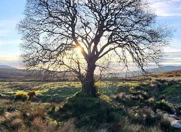
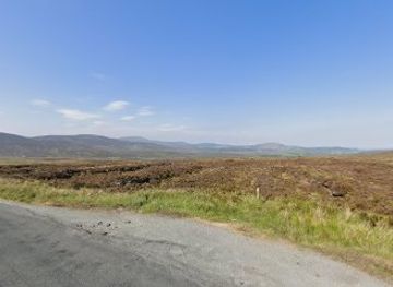
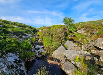
Sally Gap, a mountain pass in County Wicklow, is a scenic crossroads offering panoramic views of blanket bogs and the Wicklow Mountains. Built as a military road by the British Army after the 1798 Irish rebellion, it's now a popular destination for tourists seeking breathtaking landscapes and outdoor activities.
Opening times, essentials, and a few local tips gathered into one calmer, easier-to-scan planning section.
Hi, I'm Eve. Here are a few practical things to know before exploring Sally Gap.
Local know-how to help you travel smarter and make the most of every moment.
Driving
Sally Gap is most easily accessed by car via the R115 (Old Military Road). From Dublin, take the M50 to the Firhouse exit (Junction 12) and follow the R115. Alternatively, take the R137, R114, and R115 from Dublin city center. From Roundwood, take the R759. From Blessington, use the R759. Note that parking is limited to small areas at scenic viewpoints and Glenmacnass Waterfall. There are no tolls on the immediate approach to Sally Gap.
Use Tower Bridge as your starting point for nearby food, family ideas, nightlife, and more local discoveries.

Explore expert travel guides, compare and book tours, experiences, hotels, and more—all from the palm of your hand. Download now for seamless trip planning wherever your wanderlust takes you.
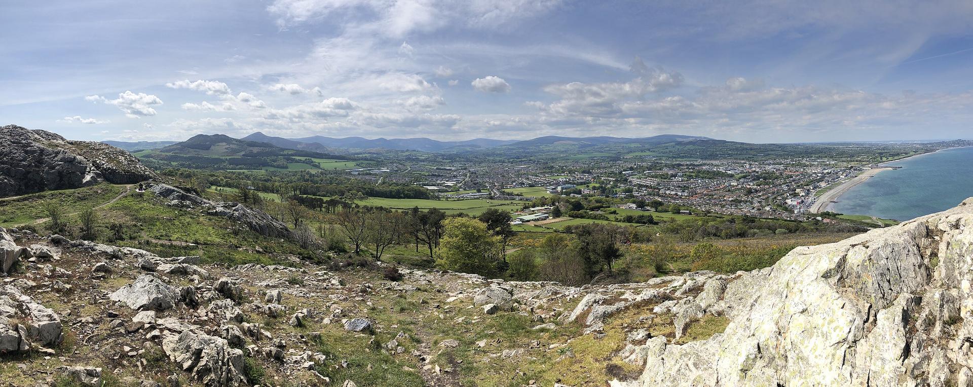
Discover Bray, Ireland's picturesque seaside town, with its scenic promenade, historic landmarks, and vibrant arts scene. Perfect for nature lovers and culture enthusiasts alike.
Tell me more about Bray