Eske Angling Centre IFI
Eske Angling Centre: Gateway to Lough Eske's Fishing Paradise
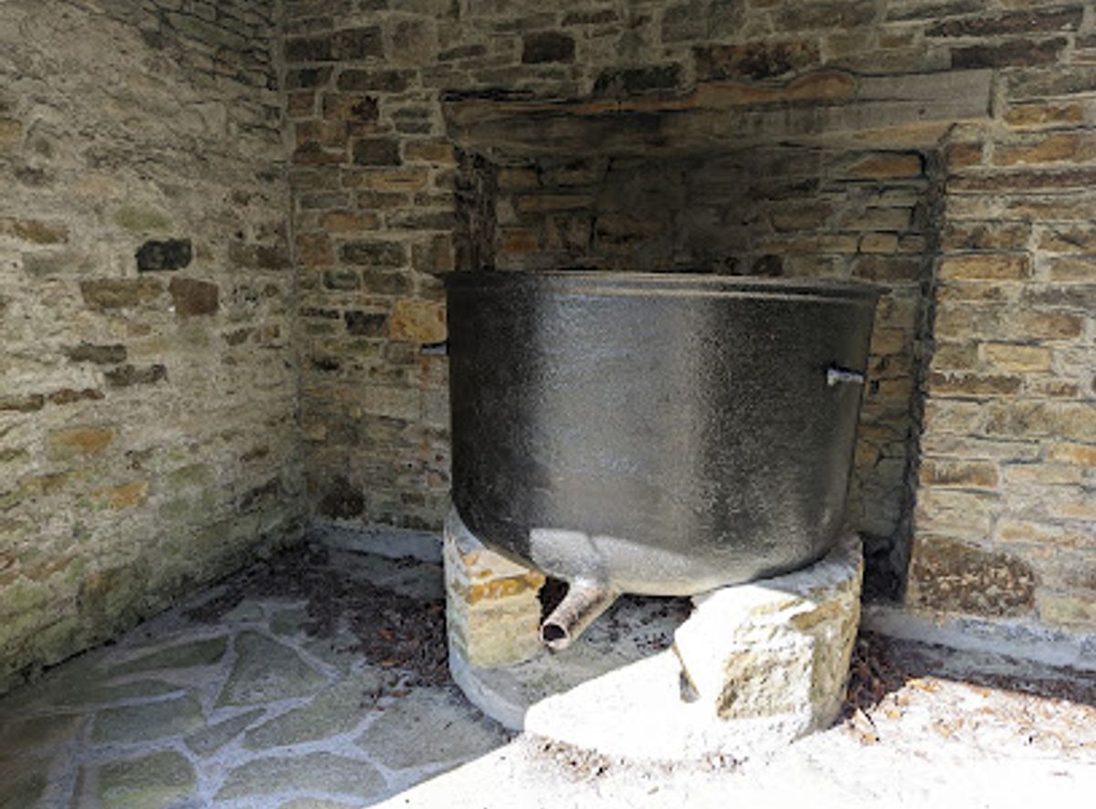
Reflect on Ireland's Great Famine at this historical landmark in County Donegal, a symbol of resilience and community.
The Famine Pot in County Donegal stands as a solemn reminder of the Great Famine of the mid-19th century. These pots were used to distribute soup to starving people during that devastating period. It symbolizes resilience and offers a place for reflection on Irish history.
Opening times, essentials, and a few local tips gathered into one calmer, easier-to-scan planning section.
Walking
The Famine Pot is located on an unnamed road in a rural area. If you are nearby, walking may be a viable option. Be aware that there may not be sidewalks or designated walking paths, so exercise caution and be mindful of traffic.
Public Transport
To reach the Famine Pot using public transport, take a bus from Letterkenny to Ballybofey. Bus Éireann operates services on this route, and the journey typically takes around 30 minutes. Once you arrive in Ballybofey, you will need to catch a local taxi to reach Famine Pot, as there is no direct bus service to the site. It's advisable to book the taxi in advance to ensure timely arrival. The bus from Letterkenny to Ballybofey costs approximately $30. Expect to pay around €15-€20 for the short taxi trip to Famine Pot.
Car
If driving from Letterkenny, head southwest on the N56 road. After approximately 12 km, take the exit toward N15. Continue on the N15 for about 19 km until you reach the town of Ballybofey. From Ballybofey, follow the signs for the R252 road, which will lead you towards the Famine Pot. Input the coordinates 54.6923° N, 8.0649° W directly into your navigation system. Parking near the site is limited, with no designated parking area. Be prepared to park on the side of the road.
Use Tower Bridge as your starting point for nearby food, family ideas, nightlife, and more local discoveries.

Explore expert travel guides, compare and book tours, experiences, hotels, and more—all from the palm of your hand. Download now for seamless trip planning wherever your wanderlust takes you.
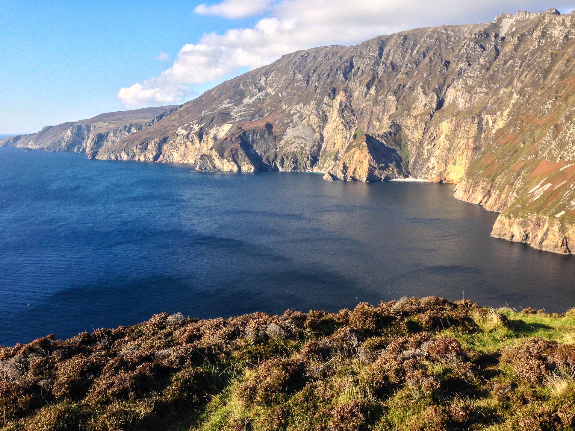
Experience the wild and unspoiled beauty of County Donegal, Ireland's hidden gem, where rugged landscapes, rich history, and vibrant culture await.
Tell me more about County Donegal