From Eve
Know before you go
Hi, I'm Eve. Here are a few practical things to know before exploring Diga val Federia.
Local know-how to help you travel smarter and make the most of every moment.

Discover Diga val Federia: breathtaking hiking trails, serene alpine beauty, and unforgettable views in the heart of Livigno, Italy.
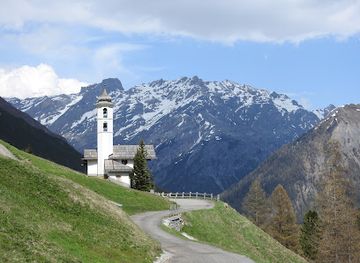
Diga val Federia, nestled in the Italian Alps near Livigno, is a picturesque hiking area renowned for its stunning landscapes and tranquil atmosphere. With trails for all skill levels, it's a perfect destination for nature lovers and outdoor enthusiasts seeking breathtaking views and serene beauty.
Opening times, essentials, and a few local tips gathered into one calmer, easier-to-scan planning section.
Hi, I'm Eve. Here are a few practical things to know before exploring Diga val Federia.
Local know-how to help you travel smarter and make the most of every moment.
Walking
From the center of Livigno, Diga val Federia is approximately a 5 km walk, taking around 1 to 1.5 hours. Start along Via Plan and follow signs for hiking paths to the dam. Be prepared for some steep sections. Alternatively, from the Calcheira Bridge, follow the forest road, which is an easy and almost flat route, to reach Val Federia.
Public Transport
Take the local bus (Line 2) from Livigno towards the upper valley. Get off at the stop labeled 'Diga val Federia'. Check the bus schedule in advance as timings may vary. The fare is typically around €2-€3. Livigno offers a free bus service with multiple stops throughout the village.
Car
From the center of Livigno, head southeast on Via Plan, then turn left onto Via Saroch. Continue straight until the roundabout, taking the second exit onto Via Rasia. Follow this road towards Diga val Federia. After about 5 km, you will see signs for Diga val Federia. There is a parking area available near the dam. Parking is free.
Use Tower Bridge as your starting point for nearby food, family ideas, nightlife, and more local discoveries.

Explore expert travel guides, compare and book tours, experiences, hotels, and more—all from the palm of your hand. Download now for seamless trip planning wherever your wanderlust takes you.
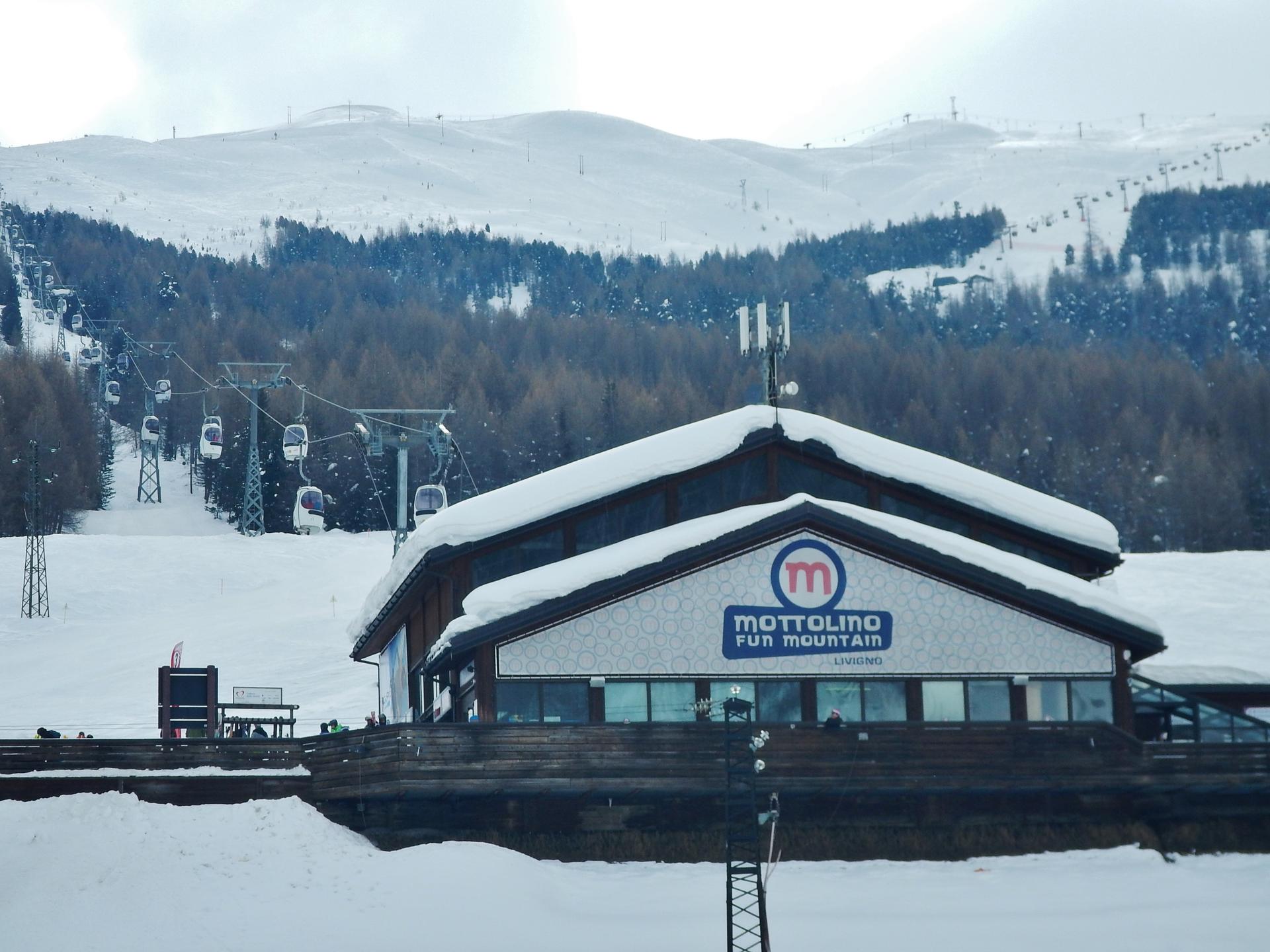
Discover Livigno: Italy's Alpine gem offering world-class skiing, stunning landscapes, duty-free shopping, and rich culinary delights.
Tell me more about Livigno