From Eve
Know before you go
Hi, I'm Eve. Here are a few practical things to know before exploring Fuorcla Trupchun.
Local know-how to help you travel smarter and make the most of every moment.
Hike to Fuorcla Trupchun in Swiss National Park for stunning views & wildlife sightings on the Swiss-Italian border.
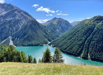
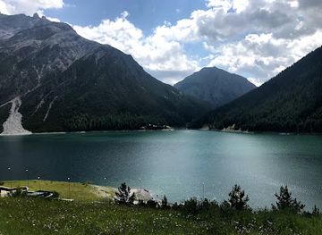
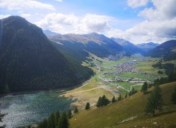
Fuorcla Trupchun is a high-altitude pass on the Swiss-Italian border within the Swiss National Park, renowned for its challenging hiking trails and abundant wildlife, including ibex, chamois, and red deer. The pass offers stunning panoramic views of the Val Trupchun and the Italian Valle del Saliente, rewarding adventurous hikers with unparalleled natural beauty.
Opening times, essentials, and a few local tips gathered into one calmer, easier-to-scan planning section.
Hi, I'm Eve. Here are a few practical things to know before exploring Fuorcla Trupchun.
Local know-how to help you travel smarter and make the most of every moment.
Walking
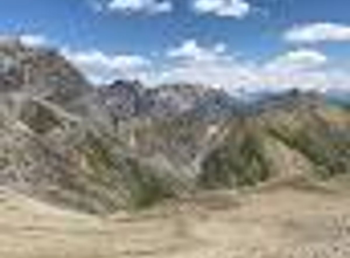
The final approach to Fuorcla Trupchun is primarily on foot, starting from the Prasüras car park near S-chanf. From the car park, follow the trail towards Alp Trupchun. The path gradually ascends through the Val Trupchun, offering views of the surrounding mountains and meadows. From Alp Trupchun, the trail becomes steeper and more challenging as it approaches the Fuorcla Trupchun. The final section involves navigating rocky terrain and scree slopes. There are no costs associated with walking to Fuorcla Trupchun beyond potential parking fees at Prasüras.
Public Transport
To reach the starting point at Prasüras from S-chanf, take the Engadin Bus line 7 towards S-chanf, Parc Naziunal. This bus stop is located near the Prasüras car park, the gateway to Val Trupchun. From the bus stop, follow the walking directions to Fuorcla Trupchun. A single bus fare within the Upper Engadine region typically costs around CHF 4-6. Check the SBB website for the most up-to-date bus schedules and fares.
Parking
If driving, park at the Prasüras car park in S-chanf. From the car park, follow the trail into Val Trupchun towards Fuorcla Trupchun. Parking is available 24/7. Limited parking spaces are available and can fill up quickly during peak season. Parking fees apply, but rates can vary. Ensure to check local signage for current pricing.
Use Tower Bridge as your starting point for nearby food, family ideas, nightlife, and more local discoveries.

Explore expert travel guides, compare and book tours, experiences, hotels, and more—all from the palm of your hand. Download now for seamless trip planning wherever your wanderlust takes you.
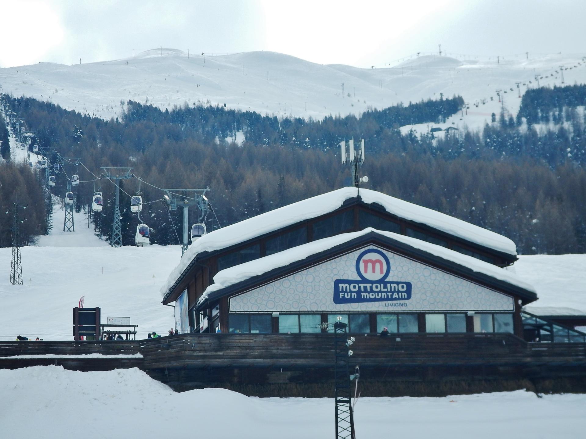
Discover Livigno: Italy's Alpine gem offering world-class skiing, stunning landscapes, duty-free shopping, and rich culinary delights.
Tell me more about Livigno