
The Pinnacle of Lithuania: The Furthest Point from the Sea
Explore Piečiausias Lietuvos taškas, the southernmost point of Lithuania, where nature and history converge in a tranquil setting.
Discover the unique charm of Piečiausias Lietuvos taškas, the furthest point from the sea in Lithuania, where nature meets history in the Varėna District. This picturesque location offers a serene environment perfect for travelers seeking tranquility and a touch of adventure.
A brief summary to Piečiausias Lietuvos taškas
- V9W2+QR, Ašašninkai, Varėna District Municipality, LT
Local tips
- Visit during late spring or summer for the best weather and vibrant scenery.
- Bring a picnic to enjoy in the picturesque surroundings.
- Consider visiting nearby attractions to make the most of your trip to the Varėna District.
- Check local weather conditions before your visit for the most enjoyable experience.
Getting There
-
Car
If you are traveling by car, start from any location within Aukstaitija National Park. Use your GPS or a map application to navigate to the coordinates 53.8969975 latitude and 24.3520523 longitude. This will lead you to the Piečiausias Lietuvos taškas located in Ašašninkai, Varėna District Municipality. The area is accessible by local roads, and parking is typically available near the site.
-
Public Transportation
For those using public transportation, you will need to take a bus that goes to the closest town, Varėna. From Varėna, you can catch a local taxi or look for any available rideshare options to Ašašninkai. The exact address for Piečiausias Lietuvos taškas is V9W2+QR, Ašašninkai, Varėnos r. sav. Be sure to confirm with the driver that they are familiar with this location, as it is a tourist attraction. Note that bus fares may vary, and it is advisable to check the local bus schedule in advance.
-
Bicycle or Walking
For the more adventurous visitors, consider biking or walking from nearby locations in Aukstaitija National Park. There are scenic trails that can lead you closer to Ašašninkai. If biking, ensure you have a bike map, and be prepared for some rugged paths. This option will allow you to enjoy the natural beauty of the park at your own pace. Always check local regulations regarding biking and walking routes.
Discover more about Piečiausias Lietuvos taškas
Iconic landmarks you can’t miss
Piečiausias Lietuvos taškas
0.0 km
Explore Piečiausias Lietuvos taškas, the southernmost point of Lithuania, where nature and history converge in a tranquil setting.
Čepkeliai
15.8 km
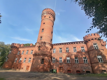
Discover the serene beauty of Ćepkeliai Wetland, an ecological haven perfect for birdwatching and nature lovers in Varėna District.
Dzukijos nacionalinio parko ir Cepkeliu valstybinio gamtinio rezervato direkcija, Cepkeliu lankytoju centras
18.5 km
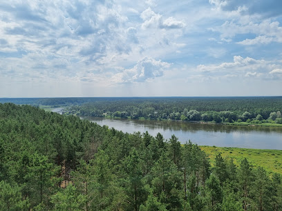
Explore the enchanting landscapes and rich biodiversity at the Dzukijos National Park Visitor Center, your gateway to nature's wonders in Lithuania.
Dziackagirio (Zackagirio) pažintinis takas
18.5 km
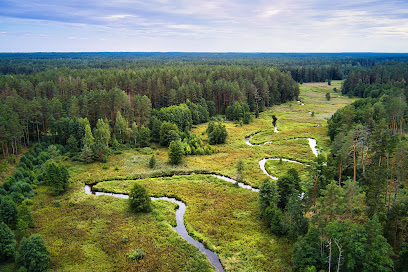
Discover the breathtaking Dziackagirio Hiking Trail in Marcinkonys, a serene escape into nature's beauty in Varėna District Municipality.
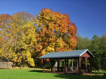
Dzūkijos uoga
22.1 km
Discover the serene beauty of Dzūkijos Uoga, a perfect getaway in Lithuania's Dzūkijos National Park, blending comfort with nature's tranquility.
Garsų miškas
23.8 km
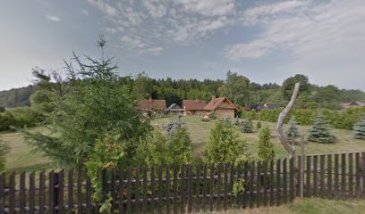
Discover your musical potential at Garsų Miškas, a top-notch recording studio in the serene village of Trasninkas, Lithuania.
Gintautas Akstinas
24.9 km
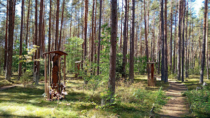
Explore Gintautas Akstinas, a stunning statuary in Druskininkai that embodies Lithuania's rich cultural heritage and artistic expression.

Skulptūrų parkas
25.2 km
Explore the harmonious blend of nature and contemporary art at Skulptūrų Parkas in Druskininkai - a must-visit outdoor gallery.
Zervynų kryžiai
25.6 km
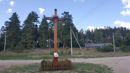
Explore the serene landscapes and cultural heritage of Zervynų Kryžiai, a hidden gem in Lithuania's Varėna District.
UAB Dzūkija
26.8 km
Explore UAB Dzūkija in Druskininkai for breathtaking wooden staircases and craftsmanship that embodies Lithuanian woodworking traditions.
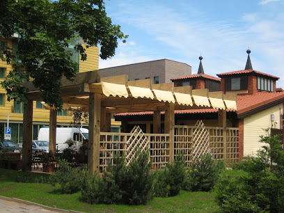
Dangaus skliautas
27.4 km
Experience the vibrant culinary scene at Dangaus skliautas in Druskininkai, where delicious cuisine meets captivating live music for an unforgettable experience.
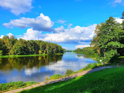
SPA VILNIUS Druskininkai
27.6 km
Experience ultimate relaxation and rejuvenation at SPA VILNIUS Druskininkai, your gateway to wellness in the heart of Lithuania.
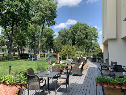
UAB GRAND SPA LITHUANIA
28.0 km
Discover the ultimate wellness retreat at Grand Spa Lithuania, where relaxation meets adventure in the heart of Druskininkai.

Church of Saint Mary's Scapular
28.1 km
Explore the tranquil beauty of the Church of Saint Mary's Scapular in Druskininkai, a stunning Catholic church blending spirituality and architectural elegance.
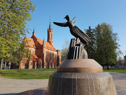
Parking
28.2 km
Discover the beauty of Druskininkai with convenient, secure parking just steps away from major attractions and activities.
Unmissable attractions to see
Dzukija National Park Ethnographic Homestead
17.8 km
Explore the Dzukija National Park Ethnographic Homestead for a unique glimpse into Lithuania's rich cultural heritage and traditional rural life.
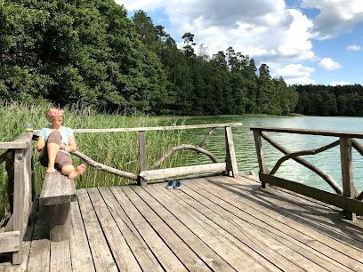
Šaudyklos kalnas
18.5 km
Experience the breathtaking views and serene beauty of Šaudyklos Kalnas in Lithuania's Varėna District, a perfect escape for nature lovers and adventurers.
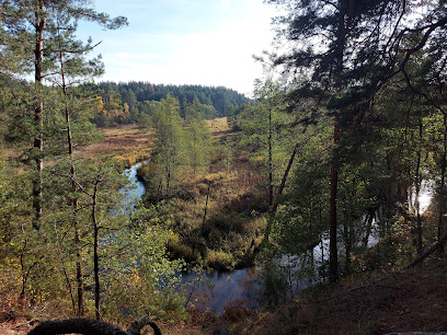
Latežerio stovyklavietė
18.8 km
Experience the tranquility and natural beauty of Latežerio Stovyklavietė, the perfect camping destination in Druskininkai Municipality.
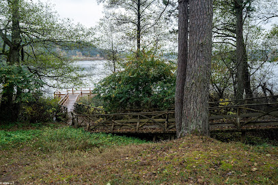
Mikalojaus Konstantino Čiurlionio kelio stogastulpis „Metų laikai"
21.7 km
Explore the Mikalojaus Konstantino Čiurlionio Kelio stogastulpis, a cultural gem in Lithuania, celebrating art and nature in perfect harmony.
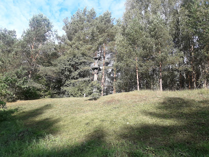
Grūto Parkas
22.8 km
Explore Grūto Parkas, a unique outdoor museum featuring Soviet-era sculptures, lush landscapes, and engaging activities for all ages in Druskininkai, Lithuania.
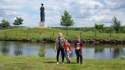
Druskininkų žiedinė sankryža
24.6 km
Discover the enchanting Druskininkų Žiedinė Sankryža, a beautiful blend of nature and culture in the heart of Druskininkai, Lithuania.

Laumės šulinio akmuo
25.2 km
Explore Laumės Šulinio Akmuo, a stunning natural monument in Varėna District, where folklore meets breathtaking landscapes, perfect for every traveler.
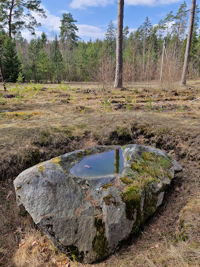
Girios Echo Museum
25.9 km
Explore the enchanting Girios Echo Museum, where art meets nature in the picturesque setting of Druskininkai.

K. Dineikos sveikatingumo parko kaskadų ir pirties kompleksas
27.4 km
Experience relaxation and wellness at K. Dineikos Health Park, featuring outdoor pools and public baths in the scenic Druskininkai.
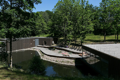
K.Dineika wellness park
27.5 km
Discover the natural beauty and wellness opportunities at K.Dineika Wellness Park in Druskininkai, a perfect retreat for relaxation and rejuvenation.
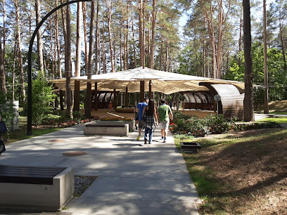
Skulptūra "Lietuva - Legenda"
27.8 km
Explore the artistic treasures of Skulptūra Lietuva - Legenda in Druskininkai, where Lithuania's culture and creativity come to life in stunning sculptures.
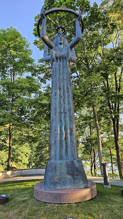
Ūlos akis
27.8 km
Experience the breathtaking beauty of Ąžuolų Akis in Marcinkonys, Lithuania—a serene retreat for nature lovers and adventure seekers.
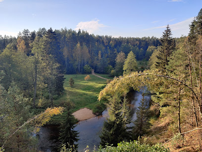
Gydykla Vandens Parkas Grand Spa Lietuva
28.0 km
Experience the ultimate aquatic adventure at Gydykla Vandens Parkas Grand Spa Lietuva, a family-friendly haven in Druskininkai with thrilling slides and serene wellness options.

Druskonis
28.1 km
Experience the serene beauty of Druskonis Lake in Druskininkai, a perfect destination for relaxation, outdoor activities, and breathtaking views.
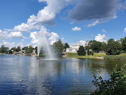
Druskininku m. muziejus
28.1 km
Explore the vibrant history and culture of Lithuania at Druskininkų Museum, a captivating attraction in the heart of Druskininkai.
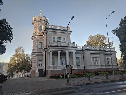
Essential places to dine
Gruzińska knajpa z nazwy
23.7 km
Discover the flavors of Georgia at Gruzińska knajpa - where tradition meets taste in Grūtas.

UPA Medical SPA
26.1 km
Discover unparalleled relaxation at UPA Medical SPA in Druskininkai – where wellness meets luxury amid nature's tranquility.
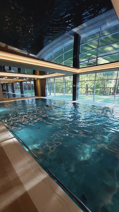
Vido mill
27.0 km
Experience the rich flavors of Lithuanian cuisine at Vido Mill in Druskininkai - where tradition meets culinary innovation.
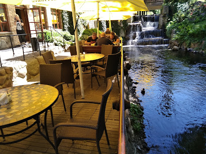
Armank Kavine
27.5 km
Experience authentic Lithuanian cuisine at Armank Kavine in Druskininkai – where tradition meets modern culinary art.
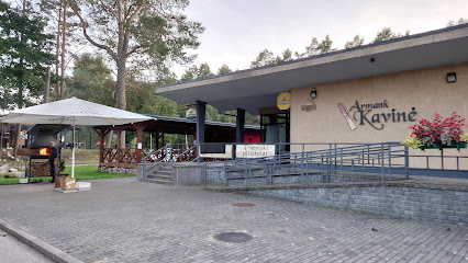
Sicilia restoranas - vyninė
27.7 km
Discover the flavors of Europe at Sicilia Restoranas in Druskininkai - where exquisite cuisine meets warm hospitality.

Bukhara - uzbekų virtuvė
27.8 km
Experience authentic Uzbek cuisine at Bukhara in Druskininkai - savor rich flavors from Central Asia with every delightful dish.
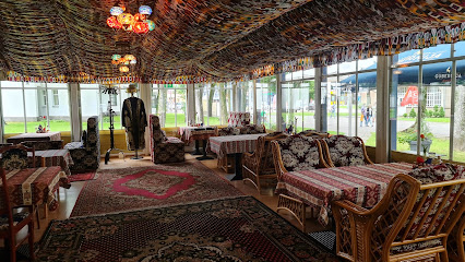
Senasis Nemunas
27.9 km
Discover authentic Lithuanian cuisine at Senasis Nemunas in Druskininkai - where tradition meets taste in every delightful dish.
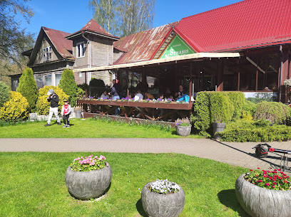
The House, Restoranas, Delvira
27.9 km
Experience exquisite dining and cozy accommodations at The House, Restoranas, Delvira in Druskininkai – where every meal is a celebration of flavor.

Sicilia picerija
28.0 km
Experience authentic European cuisine at Sicilia Picerija in Druskininkai - where every meal is a celebration of flavor and tradition.

DRUSKININKŲ KOLONADA, Restoranas - muzikinis klubas
28.1 km
Experience delightful cuisine and vibrant music at Druskininkų Kolonada - where every meal is an occasion.

Toli Toli
28.2 km
Discover family-friendly dining at Toli Toli in Druskininkai, where local flavors meet warm hospitality for an unforgettable culinary experience.

Europa Royale Druskininkai, viešbutis, Europa Group
28.2 km
Experience luxury and relaxation at Europa Royale Druskininkai—your gateway to spa bliss and adventure in Lithuania's beautiful resort town.

Europa Royale
28.2 km
Experience exquisite dining at Europa Royale in Druskininkai - where local flavors meet international cuisine.
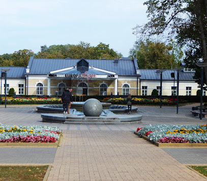
Finikija
28.2 km
Savor authentic Lebanese cuisine at Finikija in Druskininkai – where every dish tells a story.

Velvetti
28.3 km
Discover Velvetti: A Culinary Gem in Druskininkai Offering Exquisite European Cuisine and Warm Hospitality.

Markets, malls and hidden boutiques
Briedis.shop
22.1 km
Explore the tastes of Lithuania at Briedis.shop, an internet grocery store in Viršurodukis offering quality local products and unique culinary delights.

Egles pramogu centras
26.2 km
Discover Egles Pramogu Centras in Druskininkai, the ultimate destination for leisure, wellness, and family fun, surrounded by stunning natural beauty.
Akvavita
26.3 km
Discover the essence of Lithuania at Akvavita in Viečiūnai, where local craftsmanship meets a unique shopping experience.
Магазин
26.5 km
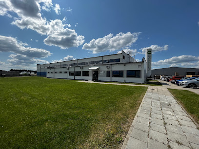
Explore the vibrant local store in Viečiūnai, offering unique crafts and delicious Lithuanian delicacies in a charming village setting.
Kiris
26.6 km
Explore Kiris in Druskininkai: Your destination for unique local crafts and memorable souvenirs.
Dūzgia
26.8 km
Explore authentic Lithuanian crafts, local delicacies, and unique souvenirs at Dūzgia in Druskininkai, a must-visit shopping destination.

Dovanos Jums
26.9 km
Explore Dovanos Jums, the ultimate gift shop in Druskininkai, offering unique ceramics, fashion accessories, and local art perfect for souvenirs.

Dzūkijos Perlas Ir Ko
26.9 km
Explore the exquisite craftsmanship of Dzūkijos Perlas Ir Ko in Druskininkai, where unique jewelry pieces reflect Lithuanian culture and artistry.

Pepco
26.9 km
Discover affordable fashion, baby products, home goods, and toys at Pepco in Druskininkai, where shopping meets quality at unbeatable prices.

Auksuoti Papuošalai
27.4 km
Discover the elegance of Lithuanian craftsmanship at Auksuoti Papuošalai, a premier fashion accessories store in Druskininkai.
Gero skonio krautuvėlė Druskininkai
27.5 km
Discover the best of local craft beers at Gero skonio krautuvėlė in Druskininkai, a haven for beer lovers and adventurous tourists.

Mana Sleep & Spa | Druskininkai
27.7 km
Discover a luxurious retreat at Mana Sleep & Spa in Druskininkai, where relaxation meets modern elegance amidst stunning natural beauty.

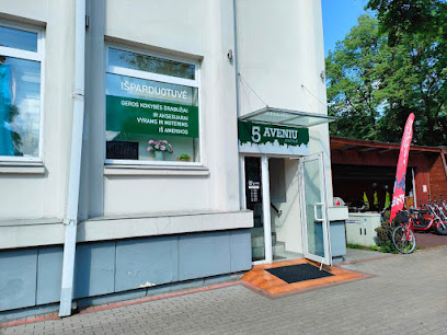
5 Aveniu
27.8 km
Discover the latest fashion trends at 5 Aveniu, a stylish clothing store in Druskininkai blending local flair with modern elegance.
Maxima X
27.8 km
Discover local flavors and essentials at Maxima X in Druskininkai, the ultimate grocery store for tourists seeking quality products.

Boulangerie Druskininkai - French bakery / cafe
27.9 km
Discover the charm of Boulangerie Druskininkai, a delightful French bakery and café in Druskininkai, Lithuania, offering mouthwatering pastries and a cozy ambiance.

Essential bars & hidden hideouts
Заправка
25.0 km
Experience the cozy charm of this Druskininkai bar, perfect for unwinding with local drinks and connecting with the heart of Lithuania.
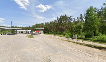
Druskininkai
26.8 km
Explore Druskininkai, Lithuania's premier spa destination, where wellness meets adventure amidst stunning natural landscapes.

CANTINA BARAS
27.9 km
Savor the essence of Mexico at Cantina Baras in Druskininkai, where flavorful dishes meet vibrant live music for an unforgettable experience.

10th avenue - Cocktails & Beer Garden
28.3 km
Experience the perfect blend of sushi, cocktails, and vibrant nightlife at 10th Avenue - Cocktails & Beer Garden in Druskininkai.

Night club Mitas
28.3 km
Experience the vibrant nightlife at Mitas Night Club in Druskininkai, where every night is a celebration of music, dance, and unforgettable memories.

Merkinės fabrikas
31.0 km
Discover the authentic flavors of Lithuania at Merkinės Fabrikas, a premier barbecue restaurant in the heart of Merkinė, where tradition meets taste.
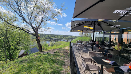
SpotOn baras
38.1 km
Experience vibrant nightlife at SpotOn Bar in Varėna, where great drinks and a friendly atmosphere await every visitor.

COCO Restobaras Alytus
58.4 km
Discover the local flavors and vibrant nightlife at COCO Restobar in Alytus, where every drink tells a story.

DZŪKŲ tavern, UAB DZŪKŲ AINIAI
58.9 km
Discover the vibrant flavors and lively atmosphere of DZŪKŲ Tavern in Alytus, where traditional Lithuanian cuisine meets contemporary bar culture.

Black Cat(Bar, Bowling, Pool)
59.0 km
Experience the lively atmosphere of Black Cat in Alytus, where delicious food meets fun activities like bowling and pool in a welcoming café setting.
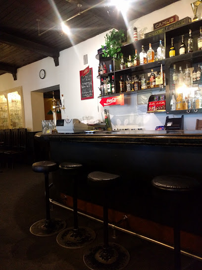
Egidijus Ir Eimutis
59.1 km
Discover the heart of Alytus nightlife at Egidijus Ir Eimutis, where local drinks meet a cozy atmosphere for an unforgettable evening.

Kišenė Pub
59.2 km
Experience the best of Alytus nightlife at Kišenė Pub, where great drinks, live music, and a friendly atmosphere await every visitor.

Fenix, baras, Ekstaze
59.3 km
Experience the vibrant nightlife of Alytus at Fenix Bar, where Berlin-inspired ambiance meets exceptional cocktails and live music.

Pušis bar
59.3 km
Discover the energetic vibes and delectable drinks at Pušis Bar, a gem in the heart of Alytus, where locals and tourists come together.

fekalijos
59.5 km
Experience the vibrant nightlife of Alytus at Fekalijos, a lively bar offering a diverse drink menu and a welcoming atmosphere for all visitors.

Nightclubs & after hour spots
2 labai pikti šunys, atsargiai
14.7 km
Discover the vibrant nightlife of Kapiniškiai at 2 Labai Pikti Šunys, where music and culture come together for an unforgettable experience.

Admiral Club
27.5 km
Experience the excitement of Admiral Club, a lively bar and casino in Druskininkai, where entertainment meets relaxation for an unforgettable night out.

Neospektras, Varenos rajono progresyvios muzikos klubas
37.6 km
Experience the electrifying nightlife of Varėna at Neospektras, a progressive music club where rhythm and energy unite for an unforgettable night.
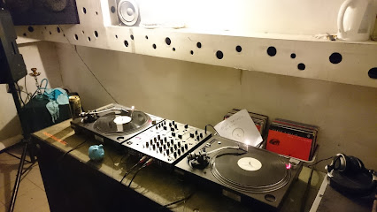
'Sostinė'
59.1 km
Discover the energetic nightlife of 'Sostinė' in Alytus, a vibrant night club offering great music, dancing, and a lively atmosphere.

Voro fortas, naktinis klubas, S. Bekampio imone
59.4 km
Experience the vibrant nightlife of Alytus at Voro Fortas, a night club where music, dance, and social connections come alive.

Cikaga, naktinis klubas, Dzesklauda
60.2 km
Discover the electrifying nightlife at Cikaga Night Club in Alytus, where vibrant music and a lively atmosphere create unforgettable evenings.

Gardas
61.8 km
Dive into the vibrant nightlife of Gardas, the premier disco club in Alytus, where unforgettable nights filled with music, dancing, and energy await.

svaras 409 studio
62.1 km
Discover the electrifying rock music scene at Svaras 409 Studio in Alytus, a must-visit venue for music lovers and concert-goers.

Domino
62.2 km
Discover the vibrant nightlife at Domino Night Club in Alytus, where unforgettable parties and energetic music create the ultimate clubbing experience.

Pilies sala
92.0 km
Explore the historic Pilies Sala in Trakai, home to a stunning castle and surrounded by breathtaking natural beauty.
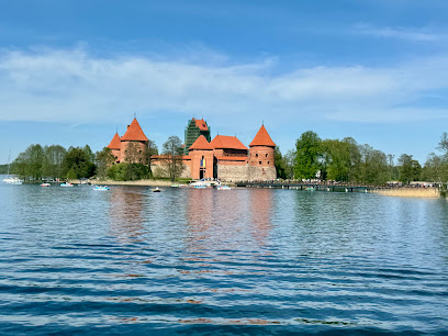
Trakai Island Castle
92.0 km
Discover the enchanting Trakai Island Castle, a medieval fortress set on a picturesque lake, showcasing Lithuania's rich history and breathtaking landscapes.
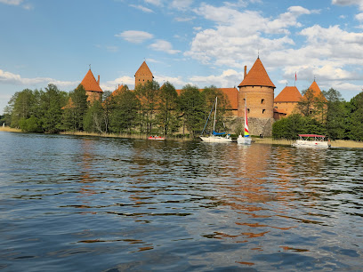
Užutrakio dvaro sodybos rūmai
93.1 km
Explore the captivating beauty and rich history of Užutrakio dvaro sodybos rūmai, a stunning manor by Lake Galvė near Trakai.
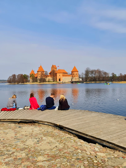
Winkiel Uniwersytecki PWSZ
95.4 km
Discover the electrifying nightlife at Winkiel Uniwersytecki PWSZ, the top night club in Suwałki, where unforgettable memories are made.

Euforia
95.7 km
Experience the vibrant nightlife of Suwałki at Euforia, the ultimate night club for unforgettable nights filled with music, dance, and fun.
Niedorzeczni
95.8 km
Discover the cozy ambiance of Niedorzeczni, a premier lounge in Suwałki perfect for relaxation and socializing with friends.


