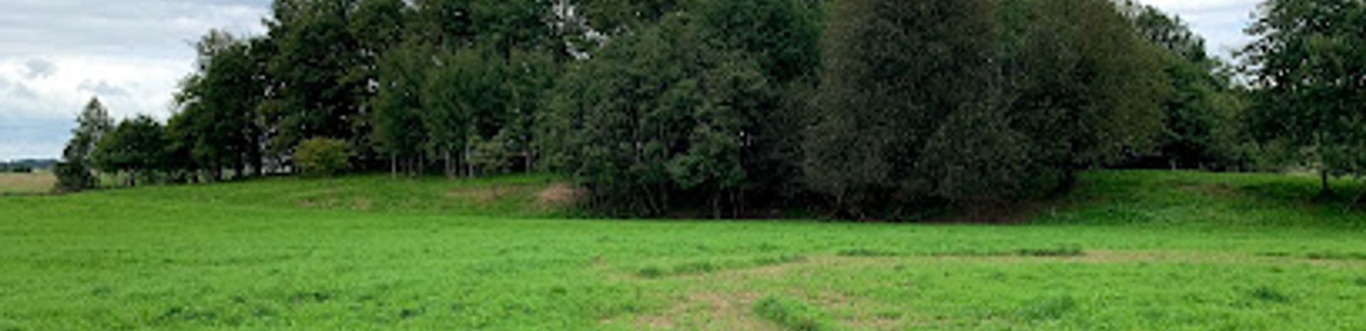
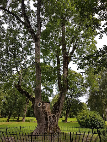
Discover the Tranquility of Pėlalė National Forest
Explore the serene beauty of Pėlalė National Forest in Plungė District, a perfect escape for nature lovers and outdoor enthusiasts.
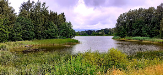
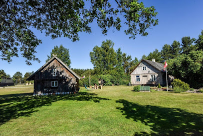
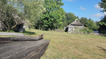
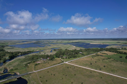
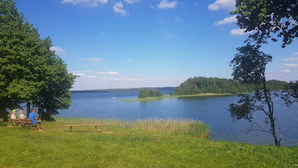
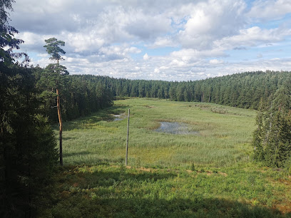
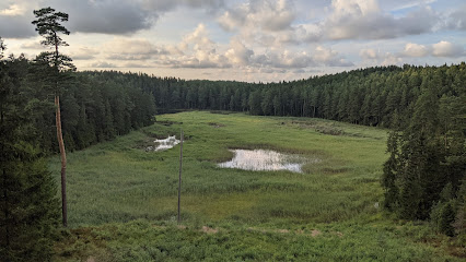
Nestled in the Plungė District Municipality, Pėlalė National Forest offers a serene escape into nature with its lush landscapes and diverse wildlife. Ideal for hiking, birdwatching, and relaxation, this forest is a hidden gem for nature enthusiasts.
A brief summary to Pėlalė
- Plungė District Municipality, 90424, LT
- Monday 12 am-12 am
- Tuesday 12 am-12 am
- Wednesday 12 am-12 am
- Thursday 12 am-12 am
- Friday 12 am-12 am
- Saturday 12 am-12 am
- Sunday 12 am-12 am
Local tips
- Wear comfortable shoes for hiking, as the trails can be uneven.
- Consider visiting during early morning or late afternoon for the best wildlife sightings.
- Bring a picnic to enjoy in one of the quiet clearings within the forest.
- Don't forget your camera to capture the stunning landscapes and vibrant wildlife.
- Check local weather conditions before your visit to ensure a pleasant outdoor experience.
Getting There
-
Car
If you are driving, start from Plungė, which is the nearest town. From Plungė, take the A11 road heading northwest. After approximately 10 km, you will see signs for the Zemaitija National Park. Follow the signposts indicating Pėlalė. As you enter the park, continue following the main road and look for the Pėlalė location sign. There is a small parking area available nearby.
-
Public Transportation
If you are using public transportation, take a bus from Plungė to any of the nearby stops that service Zemaitija National Park. You may need to check local bus schedules as they can vary. Once you arrive at the nearest stop, you can either walk or use a local taxi service to reach Pėlalė. Walking from the bus stop to Pėlalė may take around 30-40 minutes depending on your pace.
-
Walking
If you are already within Zemaitija National Park and prefer to walk, use a map or GPS to navigate towards Pėlalė. The coordinates for Pėlalė are approximately 56.0826 latitude and 21.7552 longitude. Follow the existing trails and paths within the park, which are well-marked. Ensure you have appropriate footwear and are prepared for the natural terrain.
Discover more about Pėlalė
Iconic landmarks you can’t miss
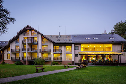
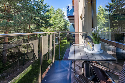
SALA Resort Plateliai
6.6 km
Discover the tranquility of SALA Resort Plateliai, a lakeside hotel offering luxury, nature, and an unforgettable experience in Lithuania.

Monument to the Lithuanian people suffering memory
11.8 km
Discover the profound history behind the Monument to the Lithuanian People suffering memory, a serene tribute to resilience and strength in Salantai, Lithuania.
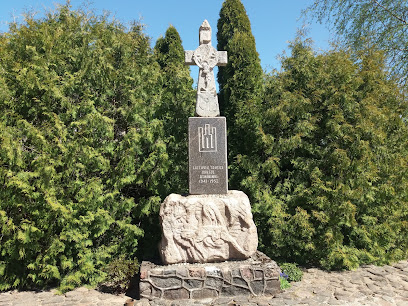
Lithuania's Independence 10th anniversary memorial
11.9 km
Discover the spirit of Lithuania at the Independence Memorial in Salantai, a tribute to freedom and resilience amidst serene landscapes.
Izidoriaus Navidansko parkas, Zemaiciu botanikos parkas
23.8 km
Experience the serene beauty of Izidoriaus Navidansko Park, a splendid botanical garden in Skuodas District, perfect for nature lovers and relaxation.
Baltų mitologijos parkas
35.7 km
Experience the captivating legends of the Baltic at the enchanting Baltic Mythology Park, a unique blend of art, culture, and nature.
Memorial site for victims of 1941, Latvia
37.7 km
A place of remembrance in Rucava, Latvia, honoring the victims of the 1941 Soviet deportations and promoting reflection on Latvian history.
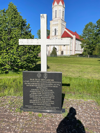
Monument and cross for Latvian and Lithuanian partisants
37.8 km
A serene tribute to the brave Latvian and Lithuanian partisans, nestled in the tranquil landscapes of Rucava, Latvia. A symbol of unity and remembrance.
Vilniaus g. 2
38.3 km
Explore the architectural splendor of Kretinga's landmark at Vilniaus g. 2, where history meets beauty in a vibrant community setting.
Vinetu Village
42.0 km
Experience the thrill of adventure and the charm of culture at Vinetu Village, a premier amusement center in Klaipėda District, Lithuania.
Sculpture "Dawn of the Baltic"
42.7 km
Explore the Sculpture Dawn of the Baltic in Palanga, a stunning artistic tribute to Lithuania's maritime heritage, surrounded by natural beauty and serene landscapes.

Jaun Tilibi - Outdoor Camping
44.7 km
Escape to Jaun Tilibi in Pape Nature Park: Coastal camping, scenic trails, and abundant wildlife await your discovery.
PAPE
44.8 km
Escape to PAPE holiday apartment in Latvia's Rucava parish for a tranquil coastal retreat near Pape Nature Park's beaches and wildlife.
Mikjāņi
44.9 km
Escape to Mikjāņi Campground in Pape Nature Park: A serene coastal retreat with camping, cabins, and Baltic Sea adventures.
Vītolnieki
45.0 km
Escape to Vītolnieki Campground in Pape Nature Park for a serene outdoor experience surrounded by Latvia's stunning coastal landscapes and diverse wildlife.
Papes tūrisma informācijas punkts. Ekspozīcija
45.5 km
Explore Pape's fishing history and natural beauty at the 'Dzintarvēji' tourism center. Your gateway to Pape Nature Park adventures!
Unmissable attractions to see
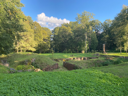
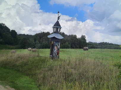
Medsėdžių piliakalnis
4.0 km
Explore the ancient mounds and scenic beauty of Medsėdžių Piliakalnis, a captivating archaeological site in Lithuania's Plungė District.
Šeirės pažintinis takas
5.9 km
Explore the serene Šeirė's Nature Trail in Plungė District, a perfect escape for hiking enthusiasts and nature lovers seeking adventure in Lithuania.
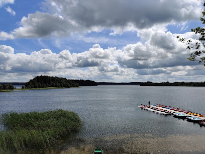
Platelių ežero apžvalgos aikštelė
6.0 km
Experience breathtaking views at Platelių ežero apžvalgos aikštelė, a tranquil lakeside retreat in the heart of Lithuania's Plungė District.
Giliuko ir Kaštoniuko takas
6.1 km
Discover the breathtaking landscapes of Giliuko and Kaštoniuko Trail in Žemaitija National Park, a paradise for nature lovers and adventure seekers.
Plateliai Manor
6.1 km
Explore the rich history and stunning landscapes at Plateliai Manor, a premier tourist attraction in Lithuania's scenic Plateliai region.
Raganos uosis
6.2 km
Explore Raganos Uosis, a stunning natural attraction in Plateliai, where serene landscapes and outdoor adventures await every visitor.
Platelių ežero Kensgailų Pilies sala
7.1 km
Experience the serene beauty and historical charm of Kensgailų Pilies Sala, a hidden gem in Platelių Ežeras, perfect for nature lovers and adventurers alike.
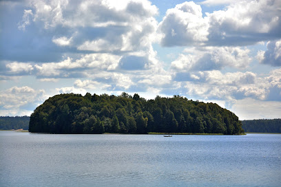
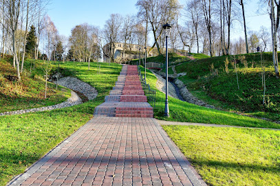
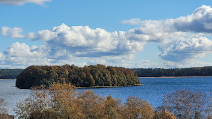
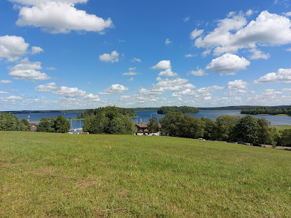
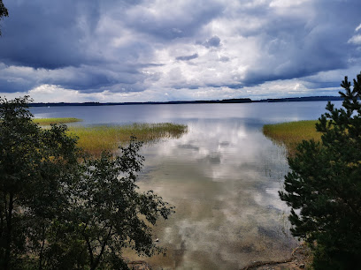
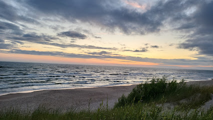
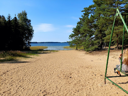
Lake Plateliai
7.7 km
Experience the tranquil beauty of Lake Plateliai, a stunning destination in Plungė District Municipality, perfect for relaxation and water activities.
Žemaitijos nacionalinis parkas
8.2 km
Discover the natural wonders of Žemaitijos Nacionalinis Parkas, a stunning national park in Lithuania perfect for outdoor adventures and serene getaways.
Paplatelė Educational Path
9.0 km
Experience breathtaking nature and rich biodiversity at Paplatelė Educational Path, a premier hiking destination in Lithuania's Samogitia region.
Paplatelių ežero panorama
9.1 km
Explore the stunning Paplatelių ežero panorama, a serene escape in Plungė District, perfect for relaxation and breathtaking photography.
Paplatelės tako apžvalgos bokštelis
9.6 km
Experience breathtaking views and serene landscapes at Paplatelės Tako Apžvalgos Bokštelis in Plungė District, Lithuania, a must-visit tourist attraction.
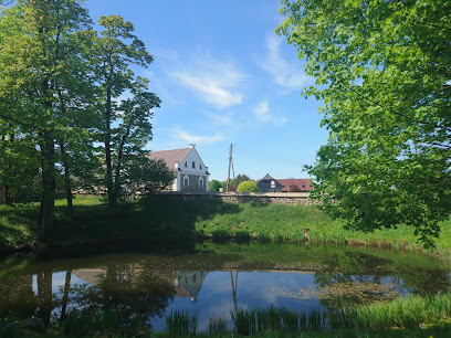
Šateikių Manor
10.3 km
Explore Šateikių Manor: A historical treasure in Plungė District, showcasing Lithuania's rich culture, stunning architecture, and serene landscapes.
Jonusu Muziejus
10.5 km
Explore the rich cultural heritage at Jonusu Muziejus in Plungė District, where tradition meets artistry in a captivating museum experience.
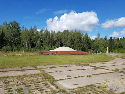
Cold War Museum
10.9 km
Explore the complex history of the Cold War at the Cold War Museum in Plokščių k, a unique destination filled with artifacts and stories.
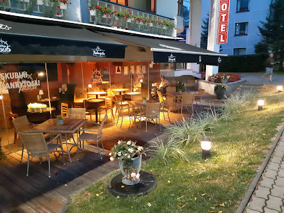
Essential places to dine
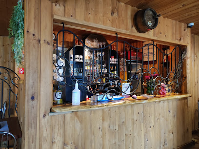
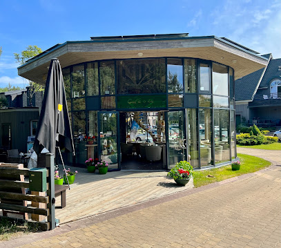
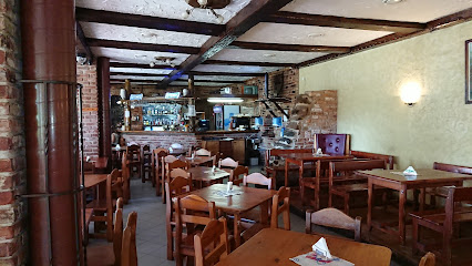
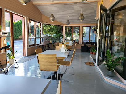
Linelis, hotel - restaurant
8.4 km
Discover tranquility at Linelis by Plateliai Lake—where exquisite dining meets breathtaking nature in Lithuania.
Lagūna - Apartamentai Šventojoje
42.7 km
Experience comfort and local cuisine at Lagūna in Šventoji – your serene escape by the Baltic Sea.
Prieš vėją
42.8 km
Experience exquisite seafood dining at Prieš vėją in Palanga, where every dish is complemented by stunning Baltic Sea views.
Gintarautojai
43.1 km
Experience authentic Lithuanian cuisine at Gintarautojai in Palanga, where fresh ingredients meet coastal charm.
Kurortas
45.3 km
Discover authentic Lithuanian flavors at Kurortas in Palanga – where culinary excellence meets coastal charm.
KOPA
46.0 km
Discover KOPA in Palanga: where traditional Lithuanian flavors meet modern dining for an unforgettable experience.
Luiza
46.2 km
Experience the authentic taste of Lithuania at Luiza in Palanga - where delicious food meets warm hospitality.
Meatbusters Palanga
46.2 km
Discover delightful meat dishes at Meatbusters Palanga – where local flavors meet casual dining on Lithuania's stunning coast.
Ship pub Palanga
46.3 km
Experience authentic Lithuanian cuisine in a charming nautical setting at Ship Pub Palanga - where every meal is a seaside adventure.
Šilelis GastroPub
46.3 km
Experience vibrant dining at Šilelis GastroPub in Palanga—where local flavors meet international cuisine in a lively atmosphere.
Thaithanee cafe and restaurant
46.7 km
Discover authentic Thai cuisine at Thaithanee Cafe and Restaurant in Palanga—where flavor meets hospitality by the sea.
Restoranas 1925
46.7 km
Experience exceptional dining at Restoranas 1925 in Palanga - where local flavors meet international cuisine in a warm atmosphere.
Monika, kavine, Ambro-art
46.8 km
Discover the flavors of Lithuania at Monika, Kavine, Ambro-Art in Palanga – where tradition meets taste in a cozy setting.
Čagino restoranas
46.8 km
Experience delightful family dining at Čagino Restoranas in Palanga – where fresh local flavors meet warm hospitality.
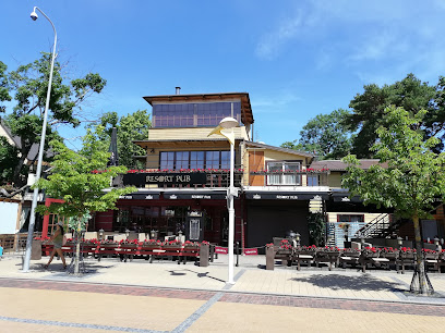
Resort Pub
46.8 km
Discover vibrant dining at Resort Pub in Palanga – enjoy local flavors and lively ambiance by the beautiful Baltic coast.
Markets, malls and hidden boutiques
Plokštinės stovyklavietė
9.4 km
Experience the tranquility of Plokštinės Stovyklavietė, a premier campground in the scenic Plateliai region of Lithuania, perfect for outdoor enthusiasts and families.
Austolina
18.8 km
Explore local flavors and essentials at Austolina, the heart of grocery shopping in Prūsaliai, Lithuania.
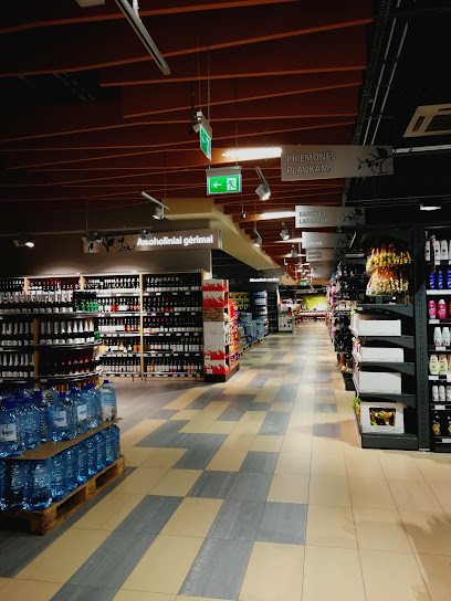
Norfa XXL
32.0 km
Experience a unique blend of local flavors and global products at Norfa XXL, Telšiai's premier hypermarket for all your shopping needs.
LATS
37.8 km
Experience the charm of Rucava at LATS, your local grocery store for authentic Latvian products and essentials during your travels.
OpaKopa
43.2 km
Experience the beauty of Palanga at OpaKopa, your comfortable holiday apartment rental just steps from the stunning Baltic Sea.
Rimi
45.8 km
Discover the best local ingredients and Lithuanian specialties at Rimi, your one-stop grocery shop in Palanga.
Wholesale and retail trade of household chemistry
45.9 km
Discover essential household products in Palanga's top home improvement store, blending quality with local charm for a perfect shopping experience.
Drovyda
46.1 km
Explore Drovyda in Palanga for unique Lithuanian souvenirs and handcrafted treasures that embody the local culture and artistry.
Samana Samana KŪRYBOS IR DIZAINO NAMAI
46.1 km
Explore the creativity of Lithuania at Samana Samana KŪRYBOS IR DIZAINO NAMAI, where local art and unique design come together in Palanga.
Pitliaus skanestai, firmine parduotuve, Pitlius
46.3 km
Experience the sweet side of Lithuania at Pitliaus Skanestai, Palanga's beloved store for traditional desserts and authentic flavors.
Vilnis ir Baltijos gintarai
46.3 km
Explore the exquisite world of Baltic amber jewelry at Vilnis ir Baltijos gintarai in Palanga, where nature meets craftsmanship.
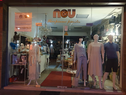
Nojurtė
46.3 km
Explore Nojurtė, Palanga's premier clothing store offering unique fashion pieces and local designer finds in a welcoming atmosphere.
Universalinė parduotuvė
46.4 km
Explore Universalinė parduotuvė in Palanga for a unique shopping experience filled with local charm and diverse products.
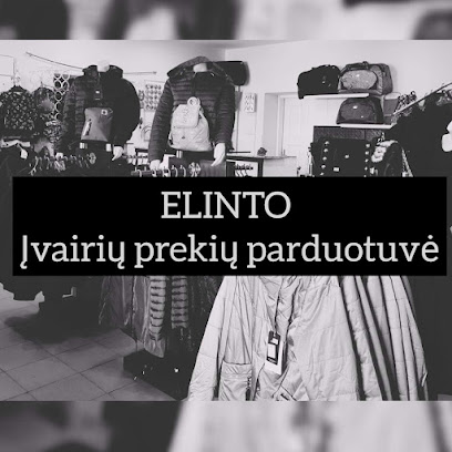
ELINTO
46.4 km
Discover unique clothing and accessories at ELINTO in Palanga - where fashion meets local culture.
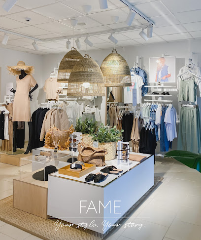
FAME
46.4 km
Discover FAME in Palanga, where fashion meets the Baltic charm. Explore unique clothing and accessories for every occasion.
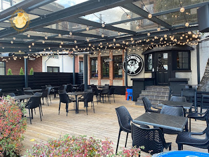
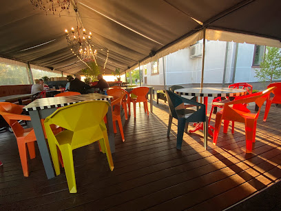
Essential bars & hidden hideouts
Hotel North Lake
4.9 km
Experience the rich flavors of Lithuania at Hotel North Lake, where cozy ambiance meets exquisite culinary delights by the lakeside.
B&B North Lake Villa
5.0 km
Experience the charm of B&B North Lake Villa, a serene retreat in Lithuania offering comfort, nature, and a taste of local culture.
Le Le Terasa
5.0 km
Discover the delightful flavors of Le Le Terasa in Paežerės Rūdaičiai, where local cuisine meets stunning natural beauty.
Porto grill Plateliai
5.6 km
Discover the flavors of Lithuania at Porto Grill Plateliai, a charming bistro serving authentic dishes in a picturesque setting.
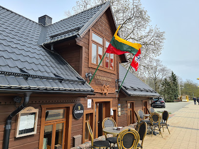
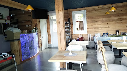
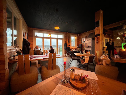
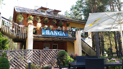
Banga Restaurant
8.9 km
Experience authentic Lithuanian cuisine at Banga Restaurant in Žemaičių Kalvarija, where local flavors and warm hospitality await.
Elektrene kavene
12.8 km
Experience the vibrant local culture at Elektrene Kavene, a cozy bar in Salantai offering a delightful selection of drinks for all visitors.
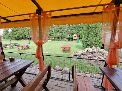
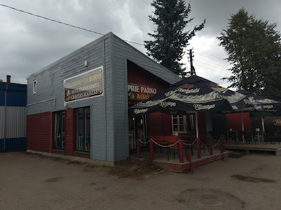
Prie Parko
18.8 km
Experience the warm hospitality and delightful drinks at Prie Parko, a cozy bar in Plungė, Lithuania, perfect for relaxation and local flavor.
D. Sakotytes paslaugu imone
19.1 km
Explore the cozy charm of D. Sakotytes Paslaugu Imone, a delightful bar in Plungė offering a warm atmosphere and a wide range of beverages.
Skalvija Plungė
19.7 km
Discover the vibrant flavors and warm hospitality at Skalvija Plungė, a must-visit bar and restaurant in the heart of Plungė.
Picos namai
19.9 km
Discover the charm of Picos Namai, a vibrant bar in Plungė offering an extensive drink menu, friendly service, and a cozy atmosphere perfect for relaxation.
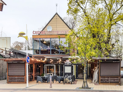
Tete-a-tete kazino, losimo automatu salonas
20.0 km
Discover the vibrant nightlife at Tete-a-tete Kazino in Plungė, where gaming meets a lively bar atmosphere for an unforgettable experience.
Sutemos, kavine, B. Vaikucio imone
20.3 km
Discover the vibrant atmosphere and delightful drinks at Sutemos, Plungė's favorite bar for locals and tourists alike.
Mazeikiai
31.9 km
Explore the hidden charm of Mažeikiai, Lithuania: a perfect destination for culture, local hospitality, and scenic beauty.
Kavėnė “Pri Malūna”
32.9 km
Discover the charming Kavėnė “Pri Malūna” bar in Telšiai, where local flavors meet a friendly atmosphere for an unforgettable experience.
KAIMO VARTAI, UAB
33.9 km
Experience the local charm and cozy ambiance at Kaimo Vartai, UAB, the perfect bar in Telšiai for tourists seeking relaxation and great beverages.