
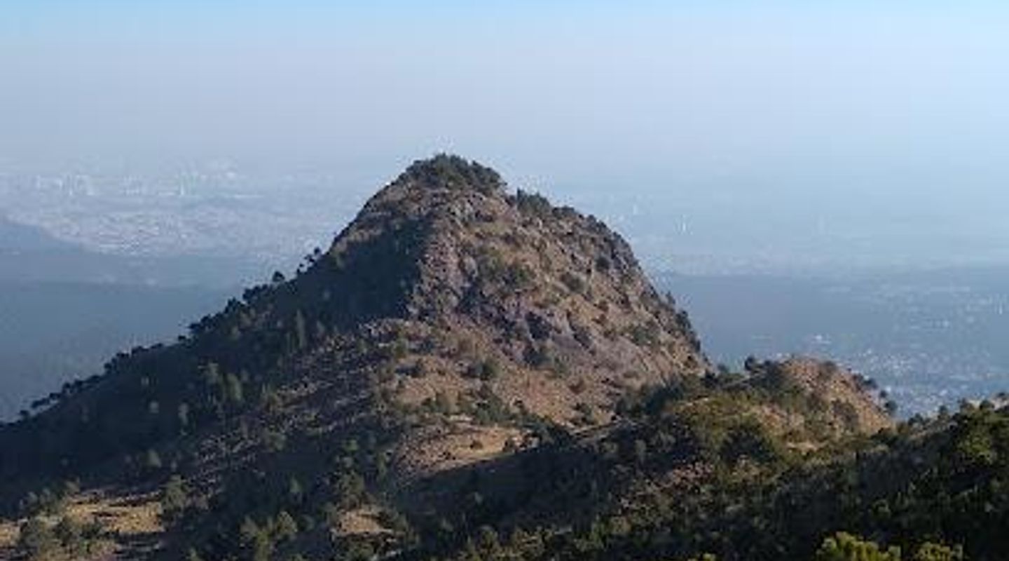
Pico del Águila, Mexico City Travel Guide
Explore the breathtaking Pico del Águila, a mountain peak near Mexico City offering stunning views, rich biodiversity, and unforgettable hiking experiences.
Pico del Águila, a stunning mountain peak near Mexico City, offers breathtaking panoramic views, exhilarating hiking trails, and a unique opportunity to immerse in Mexico's natural beauty. Perfect for outdoor enthusiasts and nature lovers, this destination promises an unforgettable experience.
A brief summary to Pico del Águila
- Mexico City, MX

Know before you go
Hi, I'm Eve. Here are a few practical things to know before exploring Pico del Águila.
- Visit early in the morning to avoid crowds and enjoy cooler temperatures.
- Wear sturdy hiking shoes for better traction on the trails.
- Pack plenty of water and snacks to stay energized during your hike.
- Bring a camera or smartphone to capture the breathtaking views at the summit.
- Check local weather conditions before your trip to ensure a safe hike.
Do you manage this location?
Take control to get all the benefits, like improved information, better appearance, and stronger visibility across AI-powered discovery. Learn more about listing your business on Evendo
Activate your presenceOther nearby places you may find interesting
The closest places of the same kind, if this one is not quite what you had in mind.


Explore Pico del Águila on the Map
A handpicked selection of must-see spots near Pico del Águila, mapped for you.
Unlock the Best of Pico del Águila
Buy tickets
-
No tickets available
Book tours with entry
-
No tours available


Getting There
-
Metro
Start at the nearest metro station to your current location. If you are near the Centro Histórico, head to the Zócalo station on Line 2 (Blue Line). From Zócalo, take the metro towards Tasqueña and get off at the Chabacano station. Transfer to Line 8 (Green Line) towards Garibaldi-Lagunilla and get off at the San Lázaro station. Here, transfer to Line 1 (Pink Line) towards Pantitlán and get off at the Pantitlán station. Finally, take a taxi or an Uber from Pantitlán to Pico del Águila, which is approximately a 30-minute drive.
-
Bus
Find a bus stop near your location that has routes to the southern parts of Mexico City. You can take a bus that goes to Tlalpan or Cuernavaca. Ask the driver to drop you off at the nearest stop for Pico del Águila. From there, you might need to walk or take a short taxi ride to the final location.
-
Walking
If you are in the vicinity of Pico del Águila, you can walk to the peak by following the local pathways. Ensure to have a map or GPS on your phone, as the area can be hilly and somewhat challenging to navigate. Look for signs that indicate the direction to 'Pico del Águila' as you walk along local streets.
-
Taxi or Rideshare
You can easily book a taxi or rideshare service like Uber from your current location. Simply enter 'Pico del Águila' as your destination. Make sure to confirm that the driver is aware of the location before starting your journey. The ride should take approximately 30 minutes from most central locations in Mexico City.
Discover more about Pico del Águila













Your all‑in‑one travel companion app
Explore expert travel guides, compare and book tours, experiences, hotels, and more—all from the palm of your hand. Download now for seamless trip planning wherever your wanderlust takes you.


Explore More of Mexico City
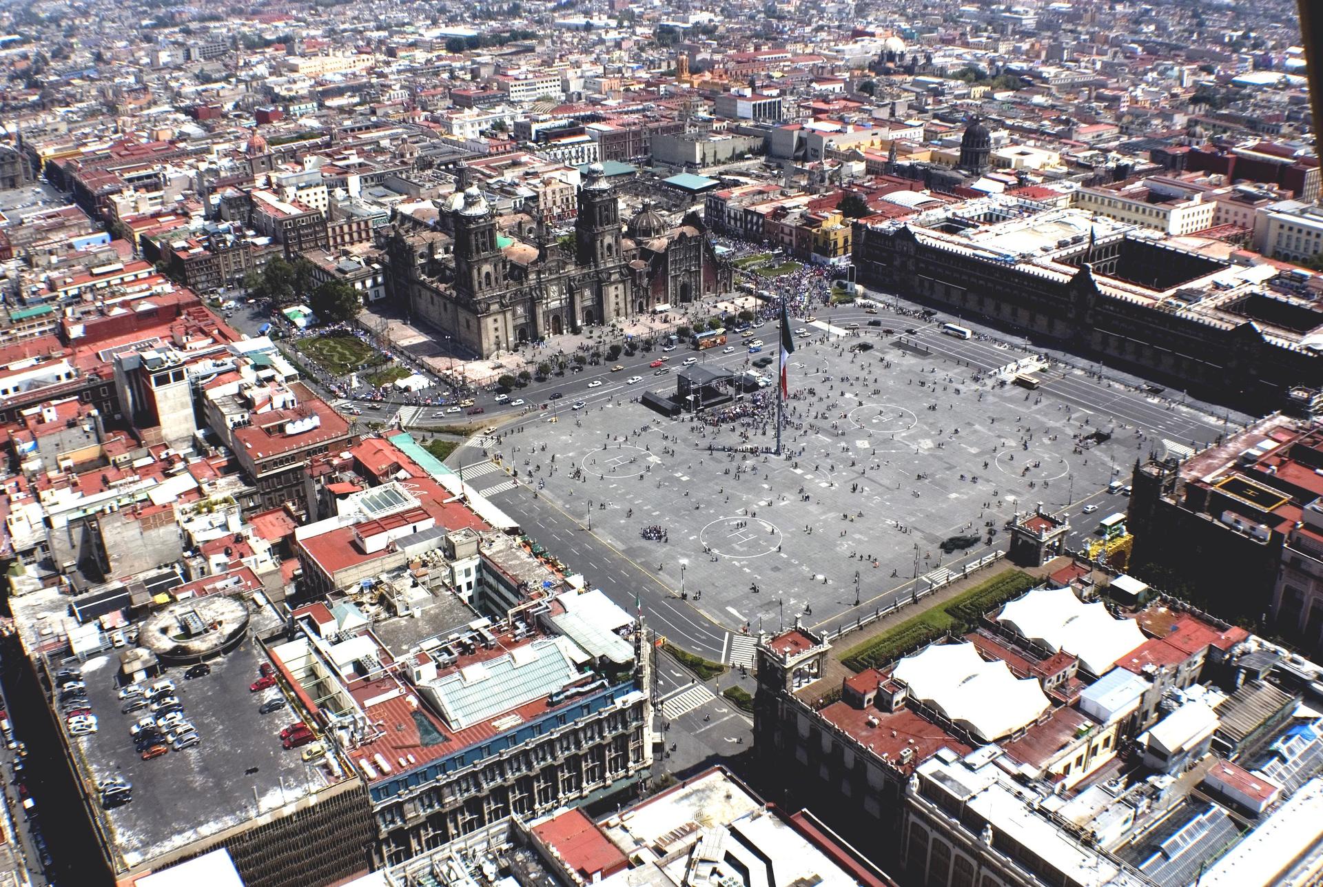
Looking beyond Pico del Águila? Discover Mexico City for broader travel guides, local hot-spots, and regional highlights.
Explore Mexico City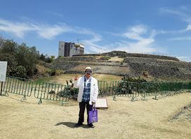
Discover the ancient wonders of Cuicuilco Archaeological Zone, a historical landmark showcasing one of Mexico's oldest pyramids amidst lush ecological beauty.
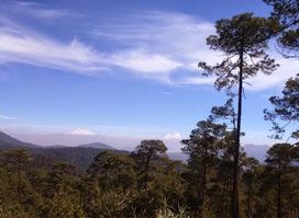
Discover the breathtaking landscapes and adventure activities at Parque Nacional Cumbres del Ajusco, a serene national park near Mexico City.
