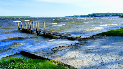
Discover the Serenity of Chapel Falls Trailhead
Explore the breathtaking natural beauty of Chapel Falls Trailhead in Shingleton, Michigan, a must-visit hiking area for outdoor enthusiasts and nature lovers.
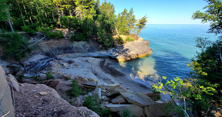
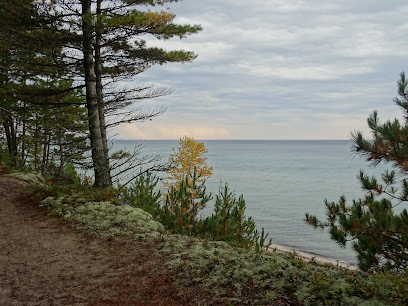
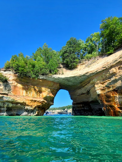
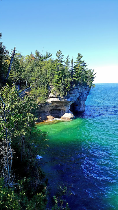
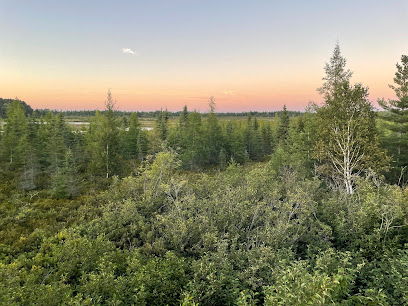
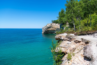
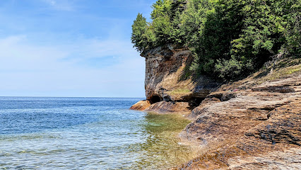
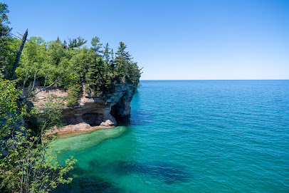
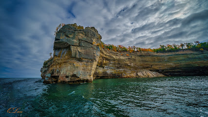
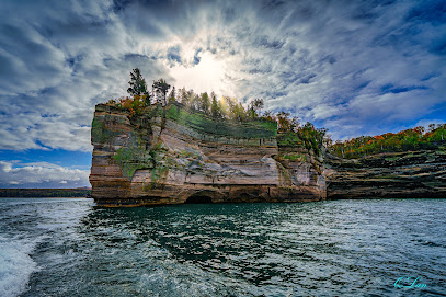
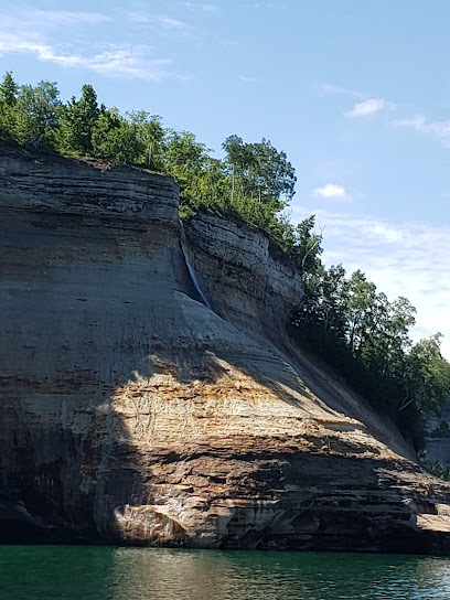
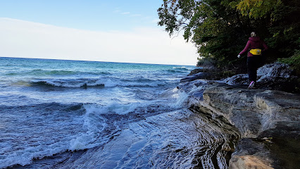
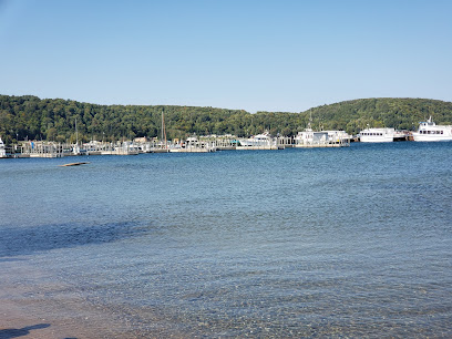
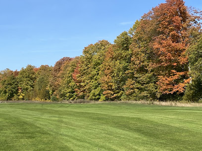
Nestled in the heart of Michigan, Chapel Falls Trailhead offers a breathtaking escape for hikers and nature enthusiasts. With its stunning views and serene atmosphere, this hiking area is perfect for adventurers looking to immerse themselves in the beauty of the outdoors. Experience the tranquility of the forest, the sound of flowing water, and the vibrant colors of nature as you explore this picturesque trail.
A brief summary to Chapel Falls Trailhead
- Chapel Rd, Shingleton, Michigan, 49884, US
Local tips
- Wear sturdy hiking boots for comfort on the varied terrain.
- Bring a camera to capture the stunning waterfalls and landscapes.
- Start early in the day to enjoy the trail before it gets crowded.
- Pack plenty of water and snacks to stay energized during your hike.
- Keep an eye out for wildlife and enjoy the natural surroundings.
Getting There
-
Car
From the Munising area, head south on M-28. After approximately 5 miles, turn left onto H-58. Continue on H-58 for about 10 miles until you reach the Chapel Road intersection. Turn left onto Chapel Road. Follow Chapel Road for about 2 miles until you arrive at the Chapel Falls Trailhead parking area, which is located on the left side of the road.
-
Public Transportation
Currently, there are no direct public transportation options to the Chapel Falls Trailhead. However, you can take a Greyhound bus to Munising. From Munising, you may need to arrange for a taxi or rideshare service to reach the trailhead. Make sure to confirm the availability of taxis in advance as they can be limited in this area.
-
Biking
If you are staying in Munising and prefer biking, you can ride south on M-28, then turn onto H-58. Biking along H-58 can be scenic but be cautious of vehicle traffic. After approximately 10 miles, turn left onto Chapel Road and follow it for about 2 miles to reach the Chapel Falls Trailhead. Make sure to wear a helmet and have appropriate biking gear.
-
Walking
Walking from nearby areas is not recommended due to the distance and lack of sidewalks. The closest starting point would be the Munising area, which is approximately 12 miles away from Chapel Falls Trailhead. If you choose to walk, make sure to have proper gear and plan for a long trek, ideally with a friend or group for safety.
Discover more about Chapel Falls Trailhead
Iconic landmarks you can’t miss
Chapel Beach Falls
3.6 km
Explore the breathtaking Chapel Beach Falls, a hidden gem in Michigan's Pictured Rocks National Lakeshore, perfect for nature lovers and adventure seekers.
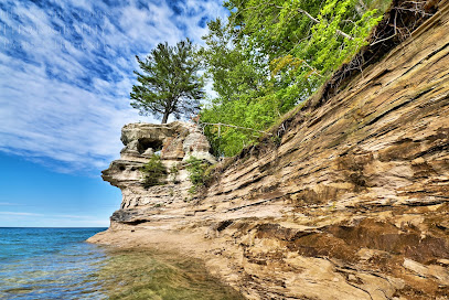
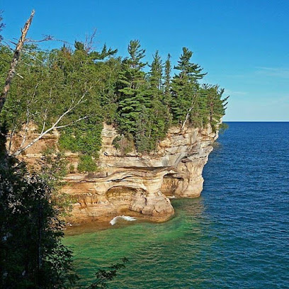
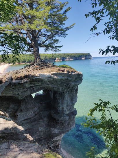
Chapel Rock
3.7 km
Explore Chapel Rock in Munising Township, Michigan: A stunning natural wonder and a perfect escape into nature's beauty.
Big Star Cove
8.3 km
Experience the breathtaking beauty of Big Star Cove, a hidden gem in Michigan that invites relaxation and adventure along its stunning shores.
Beaver Basin Overlook
12.6 km
Discover breathtaking views at Beaver Basin Overlook, a stunning vista point in Shingleton, MI, offering a glimpse into Michigan's natural beauty.
Pictured Rock Lakeshore Park Headquarters
13.4 km
Explore the breathtaking beauty of Pictured Rocks Lakeshore Park Headquarters, where vibrant cliffs meet the serene waters of Lake Superior in Michigan.
Pictured Rocks Bed and Breakfast
16.8 km
Experience the serene beauty and warm hospitality of Pictured Rocks Bed and Breakfast in Munising, Michigan, your gateway to outdoor adventures.
Pictured Rocks Kayaking - Paddle in comfort knowing the boat is with you!
18.2 km
Discover the stunning beauty of Pictured Rocks National Lakeshore through unforgettable kayaking adventures with Pictured Rocks Kayaking.
Munising / Pictured Rocks KOA Journey
18.7 km
Discover the beauty of Michigan's Upper Peninsula at Munising / Pictured Rocks KOA Journey, your gateway to outdoor adventures and stunning landscapes.
Munising Ranger District Office
18.9 km
Discover the Munising Ranger District Office, your essential guide to exploring Michigan's stunning natural landscapes and outdoor adventures.
Falling Rock Cafe & Bookstore
19.1 km
Discover the perfect blend of coffee, books, and community at Falling Rock Cafe & Bookstore in picturesque Munising, Michigan.
Munising Visitors Bureau
19.2 km
Explore the breathtaking beauty of Munising, Michigan, your gateway to Pictured Rocks and unforgettable outdoor adventures.
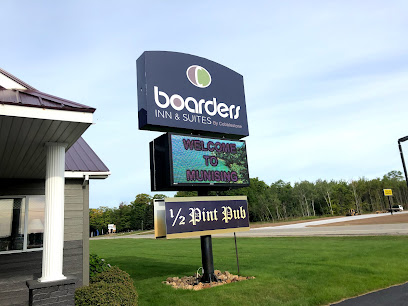
Boarders Inn & Suites by Cobblestone Hotels - Munising
19.6 km
Experience the beauty of Munising with comfortable stays at Boarders Inn & Suites, your gateway to Pictured Rocks National Lakeshore.
Au Train Beach
30.2 km
Experience the tranquil beauty of Au Train Beach, a serene getaway on Lake Superior's shores, perfect for relaxation and adventure.
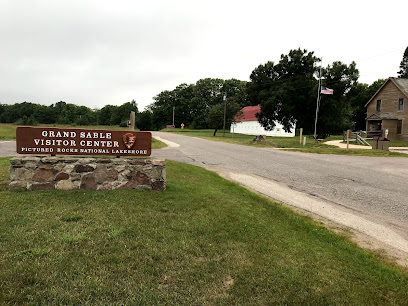
Grand Sable Visitor Center
37.0 km
Explore the wonders of Pictured Rocks National Lakeshore at the Grand Sable Visitor Center, your essential starting point for outdoor adventures.
Rainey Wildlife Area
56.5 km
Explore Rainey Wildlife Area - a hidden gem in Michigan perfect for hiking, wildlife observation, and immersing in nature's beauty.
Unmissable attractions to see
Mosquito Falls
1.3 km
Experience the tranquility and beauty of Mosquito Falls in Munising Township, Michigan, where nature's wonders await every visitor.
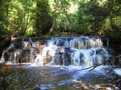
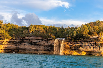
Chapel Falls
1.7 km
Discover the serene beauty of Chapel Falls, a breathtaking waterfall in Michigan's Munising Township, perfect for hiking and nature exploration.
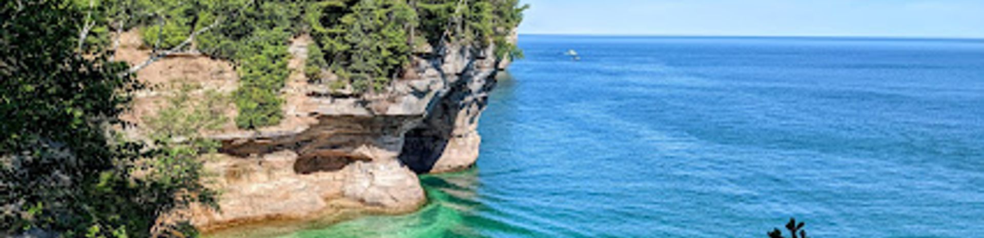
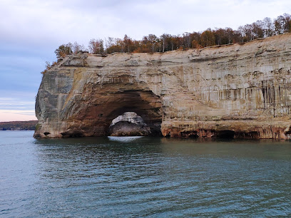
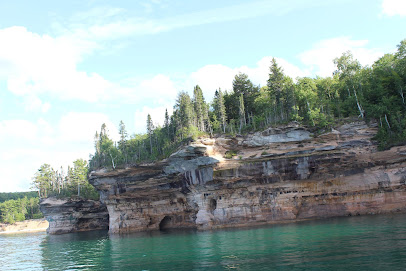
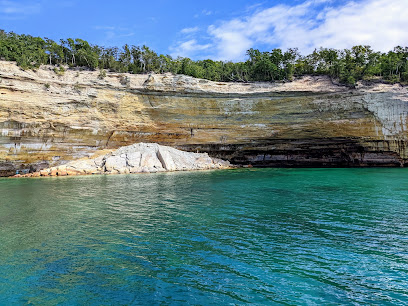
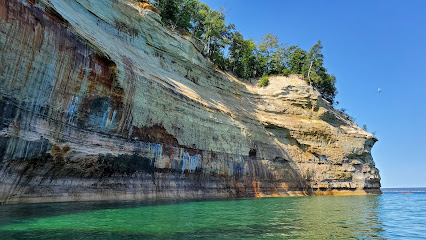
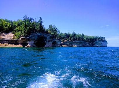
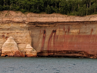
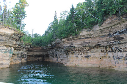
Pictured Rocks
2.5 km
Explore the stunning cliffs and vibrant rock formations of Pictured Rocks National Lakeshore, a natural wonder on the shores of Lake Superior.
Lover's Leap
2.6 km
Discover the breathtaking views and serene ambiance of Lover's Leap, a must-visit scenic spot in Michigan's Pictured Rocks National Lakeshore.
Mosquito Beach
2.7 km
Experience the tranquil beauty of Mosquito Beach in Munising Township, Michigan, a hidden gem perfect for relaxation and outdoor adventures.
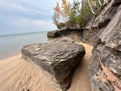
Chapel Beach
3.5 km
Discover the tranquil beauty of Chapel Beach in Munising Township, where stunning cliffs meet the crystal-clear waters of Lake Superior.
Indian Head Rock
3.6 km
Discover the stunning natural beauty of Indian Head Rock in Melstrand, Michigan - a scenic spot ideal for hiking, picnicking, and capturing breathtaking views.
Battleship Rock
3.6 km
Explore the breathtaking Battleship Rock in Michigan, a natural wonder perfect for hiking, photography, and peaceful retreats amidst stunning landscapes.
Bridalveil Falls
4.8 km
Experience the breathtaking beauty of Bridalveil Falls in Munising Township, Michigan, where nature's wonders await your discovery.
Elliot Falls
5.8 km
Experience the breathtaking beauty of Elliot Falls in Shingleton, Michigan – a perfect destination for hiking and nature lovers.
Spray Falls
5.8 km
Discover the breathtaking beauty of Spray Falls in Munising Township, Michigan, a stunning waterfall cascading into the stunning Pictured Rocks National Lakeshore.
Miners Beach
6.5 km
Experience the tranquility and natural beauty of Miners Beach, a hidden gem on Lake Superior's pristine shores within Pictured Rocks National Lakeshore.
Miners Falls
7.3 km
Discover the breathtaking beauty of Miners Falls, a stunning waterfall nestled in the enchanting Pictured Rocks National Lakeshore of Michigan.
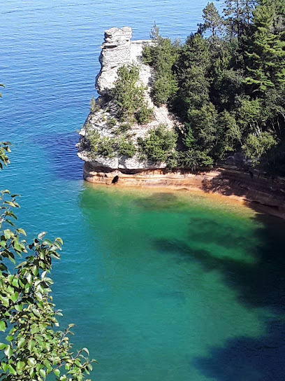
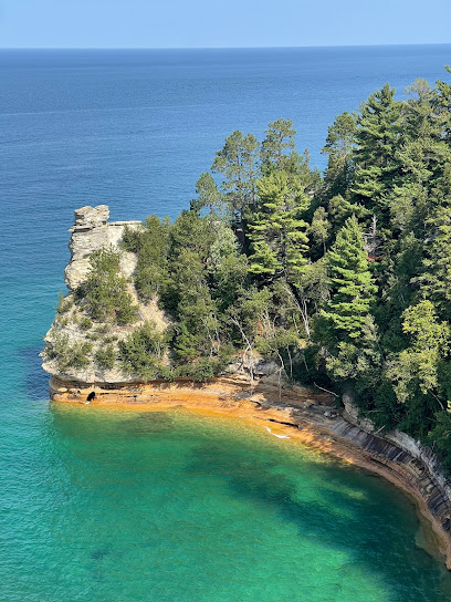
Miners Castle Point
7.3 km
Experience the breathtaking views and natural beauty at Miners Castle Point, a stunning gem of Pictured Rocks National Lakeshore in Michigan.
Lower Overlook
7.3 km
Experience stunning views of Lake Superior and the Pictured Rocks from Lower Overlook in Munising, Michigan, a scenic gem for nature lovers.
Essential places to dine
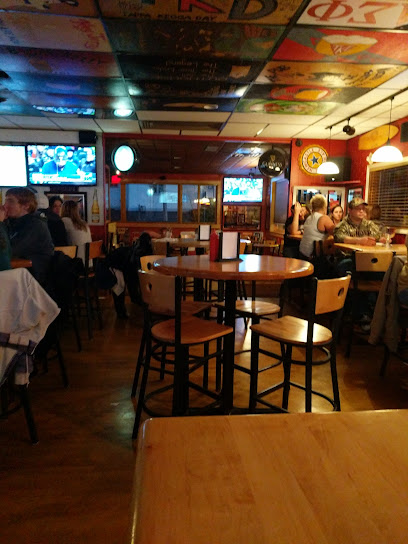
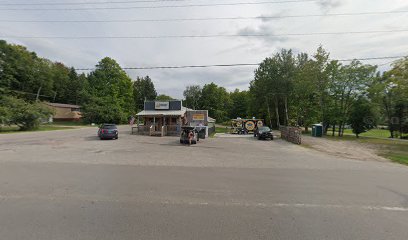
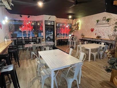
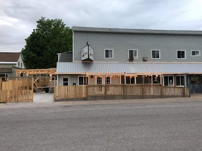
Bear Trap Inn
11.2 km
Discover the inviting Bear Trap Inn in Shingleton, MI - your go-to destination for delicious American cuisine and friendly service.
The Dogpatch Restaurant
19.0 km
Experience the best of American comfort food at The Dogpatch Restaurant in Munising—where great taste meets local charm.
Pictured Rocks Pizza
19.0 km
Discover mouthwatering pizzas in Munising at Pictured Rocks Pizza – perfect for fueling your adventures in Michigan's stunning natural landscapes.
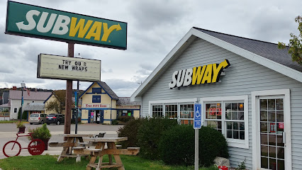
Subway
19.0 km
Experience deliciously customizable sandwiches at Subway in Munising – your quick stop for fresh flavors while exploring Michigan's beautiful landscapes.
Hardee’s
19.1 km
Discover delicious fast food at Hardee's in Munising - where tasty hamburgers meet breathtaking natural beauty.
Northland Pub
71.2 km
Discover Northland Pub: A vibrant bar and restaurant in Marquette offering delicious food, craft beer, and live entertainment amidst stunning natural beauty.
Elizabeth's Chop House
71.2 km
Discover culinary excellence at Elizabeth's Chop House in Marquette, Michigan - where premium steaks meet unmatched hospitality.
Zephyr Winebar + Café
71.2 km
Discover the perfect blend of wine, beer, and gourmet cuisine at Zephyr Winebar + Café in Marquette - where every sip tells a story.
Dumpster Water Grill
71.4 km
Discover the flavors of Marquette at Dumpster Water Grill – where local ingredients meet culinary creativity in a vibrant setting.
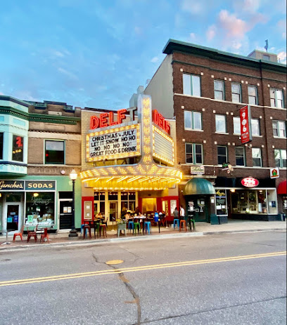
Delft Bistro
71.4 km
Savor innovative New American cuisine in a cozy setting at Delft Bistro in Marquette, MI – where every meal is a delightful experience.
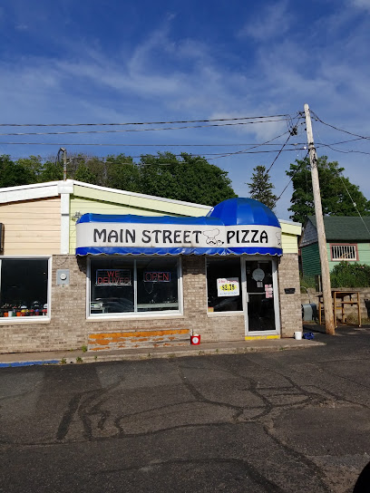
Main Street Pizza - Marquette
71.4 km
Discover Main Street Pizza in Marquette – where authentic Italian flavors meet friendly service in a cozy atmosphere.
The 906 Sports Bar & Grill
71.4 km
Experience delicious comfort food and vibrant sports culture at The 906 Sports Bar & Grill in Marquette - where every meal feels like home.
Stuckos Pub Grill
71.4 km
Discover Stuckos Pub Grill in Marquette, Michigan – where delicious food meets friendly service in a vibrant atmosphere.
The Pasta Shop
71.4 km
Experience authentic Italian cuisine at The Pasta Shop in Marquette - where every dish tells a story of flavor and tradition.
Fish Express
71.4 km
Savor fresh seafood delights at Fish Express in Marquette – where local flavors meet casual dining perfection.
Markets, malls and hidden boutiques
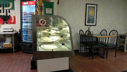
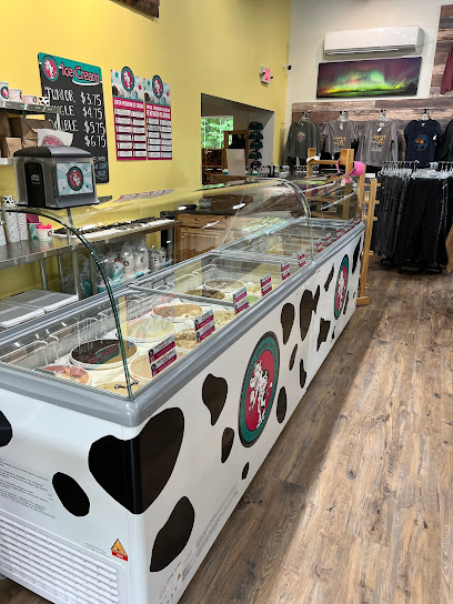
Pictured Rocks Trading Company
14.3 km
Experience the charm of local shopping and delicious ice cream at Pictured Rocks Trading Company near Michigan's stunning Pictured Rocks National Lakeshore.
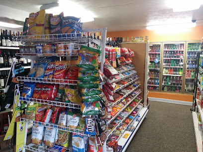
Hillside Party Store East
15.8 km
Discover the charm of Hillside Party Store, a local convenience store in Munising, MI, offering snacks, drinks, and delicious tacos from a food truck.
Open Wings
15.9 km
Explore handcrafted pottery treasures at Open Wings Pottery in Munising, Michigan, where every piece tells a unique story of artistry.
Sugars by Brandy
17.1 km
Experience tranquility and rejuvenation at Sugars by Brandy, your ultimate health and beauty retreat for a blissful escape.

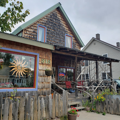
Muldoons Pasties & Gifts
18.5 km
Discover the flavors of Michigan at Muldoons Pasties & Gifts, where delicious pasties meet unique local crafts in Munising.
Hillside Party Store
18.8 km
Experience the best of Munising at Hillside Party Store, offering a diverse selection of spirits, snacks, and local gifts in a convenient setting.
Souvenirs Gift Shop
18.9 km
Discover unique local crafts and memorable gifts at Munising's Souvenirs Gift Shop, a charming destination for travelers seeking authentic Michigan treasures.
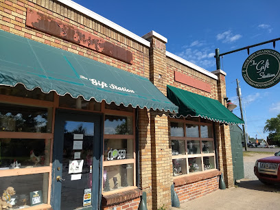
Gift Station
19.0 km
Explore Gift Station in Munising for unique souvenirs and local crafts that capture the essence of Michigan's Upper Peninsula.
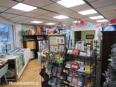
Miss Good Stitch
19.0 km
Explore a creative oasis at Miss Good Stitch, your go-to quilt shop in Munising, MI, offering a treasure trove of fabrics and quilting supplies.
Das Gift Haus
19.0 km
Explore Das Gift Haus in Munising, Michigan—a charming gift shop showcasing unique local crafts and treasures from the Great Lakes region.
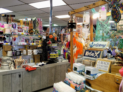
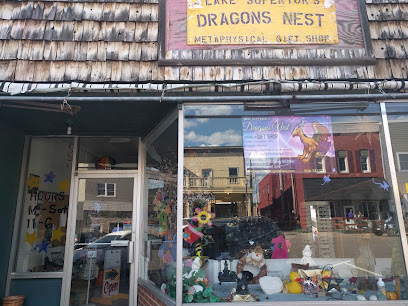
Lake Superior's Dragon's Nest
19.0 km
Explore Lake Superior's Dragon's Nest, a charming gift shop in Munising, offering unique local crafts and souvenirs that celebrate the Great Lakes region.
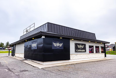
Higher Love Cannabis Dispensary Munising
19.0 km
Experience the best of cannabis culture at Higher Love Cannabis Dispensary in Munising, Michigan – quality products and exceptional service await.
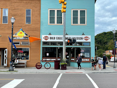
Bald Eagle Harley-Davidson, Munising Seasonal Store
19.1 km
Explore the heart of motorcycle culture at Bald Eagle Harley-Davidson in Munising, where adventure awaits with every purchase.
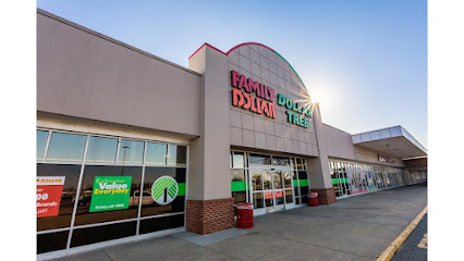
Family Dollar
19.1 km
Shop smart at Family Dollar in Munising for unbeatable deals on everyday essentials, clothing, toys, and more.
Community Threads
19.1 km
Explore Community Threads in Munising, MI, for unique finds and sustainable shopping in a welcoming thrift store atmosphere.

Essential bars & hidden hideouts
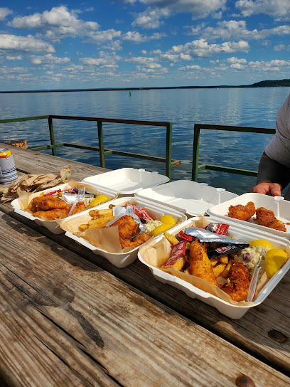
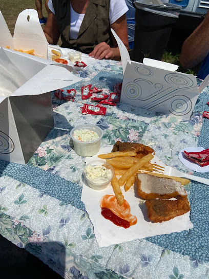
Cap'n Ron's Fish 'N' Chips
18.2 km
Discover the best fish and chips in Munising, MI at Cap'n Ron's Fish 'N' Chips, where fresh seafood meets a cozy dining experience.
Brey's Fish Market
18.4 km
Discover the freshest seafood in Munising at Brey's Fish Market, where local flavors and culinary excellence unite for an unforgettable dining experience.
Border Grill
18.9 km
Experience the vibrant flavors of Mexico at Border Grill in Munising, MI, where every meal is a fiesta of taste and tradition.
Eh! Burger
19.0 km
Discover the ultimate burger experience at Eh! Burger in Munising, MI—where flavor meets charm in a casual setting.
Driftwood Deli
19.0 km
Experience the delightful flavors of Driftwood Deli in Munising, Michigan, where every sandwich is crafted with fresh, local ingredients.
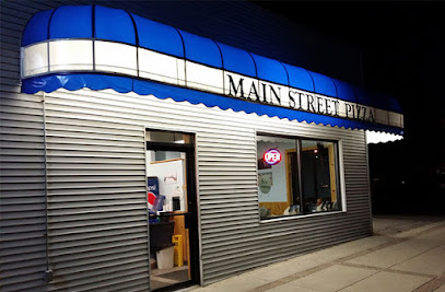
Main Street Pizza - Munising
19.1 km
Discover Main Street Pizza in Munising, where delectable pizzas and warm hospitality await you in a charming Italian restaurant.
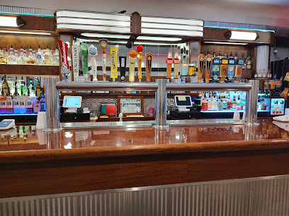
East Channel Brewing Co
19.1 km
Experience the vibrant craft beer culture at East Channel Brewing Co in Munising, Michigan, where local flavors meet a welcoming atmosphere.
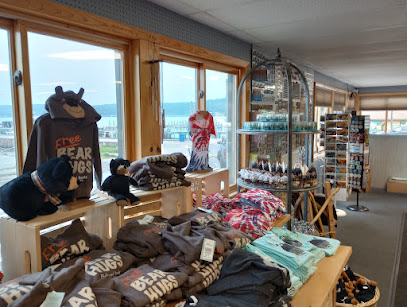
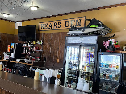
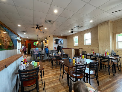
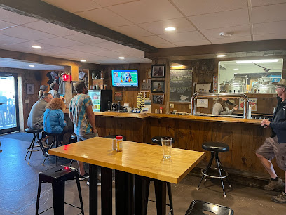
The Bears Den
19.1 km
Discover a charming family-friendly bar and restaurant in Shingleton, MI, offering hearty meals, local brews, and a warm atmosphere for all.
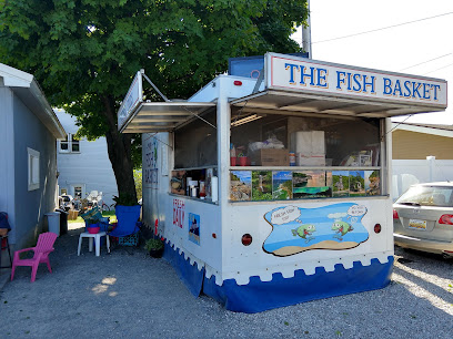
The Fish Basket
19.1 km
Experience the finest seafood in Munising at The Fish Basket, where fresh flavors and local ingredients create unforgettable dining moments.
Whisky Dick's
19.1 km
Discover the lively atmosphere and diverse drink selection at Whisky Dick's, the perfect bar for tourists in Munising, Michigan.
Earl E. Byrds
19.1 km
Savor classic American comfort food at Earl E. Byrds, a cozy diner in the heart of Munising, Michigan.
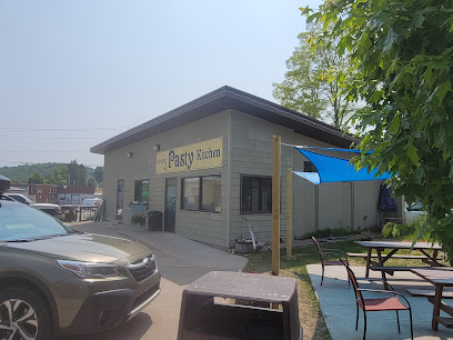
Miners Pasty Kitchen
19.1 km
Savor the authentic taste of Michigan at Miners Pasty Kitchen, where tradition meets flavor in every pasty.
East Channel Brewing Company
19.2 km
Experience the best of craft beer at East Channel Brewing Company in Munising, MI, where quality meets creativity in every sip.
Cooking Carberrys wood Fired Pizza
19.2 km
Indulge in unique wood-fired pizzas at Cooking Carberrys in Munising, Michigan – a culinary experience not to be missed!
Toby's Dog House
19.2 km
Discover the mouthwatering gourmet hot dogs at Toby's Dog House, a must-visit eatery in Munising, Michigan.
Nightclubs & after hour spots
Pictured Rocks Golf Club
14.4 km
Discover the perfect blend of nature and sport at Pictured Rocks Golf Club, where stunning views meet exceptional golfing in Michigan’s Upper Peninsula.
The Shipwreck
65.2 km
Discover The Shipwreck in Curtis, MI - a perfect blend of hearty meals, local brews, and a warm, inviting bar atmosphere.