
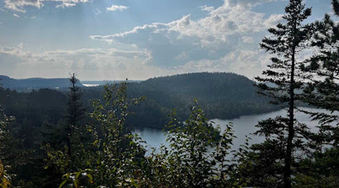
Border Route Hiking Trail, Gunflint Trail Travel Guide
Discover the breathtaking beauty of the Border Route Hiking Trail in Grand Marais, Minnesota, a perfect escape for nature lovers and adventure seekers.
The Border Route Hiking Trail, nestled in the stunning landscapes of Grand Marais, Minnesota, offers hikers a breathtaking experience filled with natural beauty, diverse wildlife, and serene surroundings. Perfect for adventure-seekers and nature lovers alike, this trail showcases the best of Minnesota's wilderness, making it a must-visit for tourists.
A brief summary to Border Route Hiking Trail
- Border Rte Hiking Trail, Grand Marais, Minnesota, 55604, US

Know before you go
Hi, I'm Eve. Here are a few practical things to know before exploring Border Route Hiking Trail.
- Visit during the early morning or late afternoon for cooler temperatures and stunning sunrise or sunset views.
- Pack enough water and snacks, as there are limited facilities along the trail.
- Wear sturdy hiking boots to navigate the rocky terrain comfortably.
- Check local weather conditions before your hike for a safe and enjoyable experience.
- Consider bringing binoculars for bird watching and to appreciate the diverse wildlife in the area.
Do you manage this location?
Take control to get all the benefits, like improved information, better appearance, and stronger visibility across AI-powered discovery. Learn more about listing your business on Evendo
Activate your presenceOther nearby places you may find interesting
The closest places of the same kind, if this one is not quite what you had in mind.
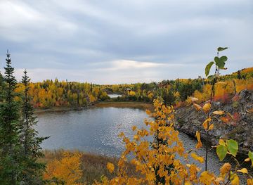
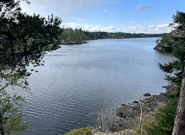
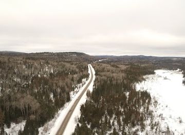
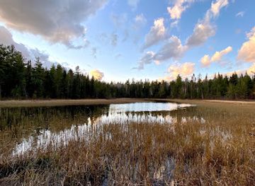
Explore Border Route Hiking Trail on the Map
A handpicked selection of must-see spots near Border Route Hiking Trail, mapped for you.
Getting There
-
Car
From any point on Gunflint Trail, head northwest on Gunflint Trail (County Road 12) towards the town of Grand Marais. Continue driving for approximately 24 miles until you reach the intersection with Minnesota State Highway 61. At this intersection, turn left onto Highway 61. Drive for about 3 miles until you see signs for the Border Route Hiking Trail on your right. Follow the signs to the trailhead, which is located just off the highway. There is no parking fee required for accessing the trail.
-
Public Transportation
If you are using public transportation, your best option is to take the Arrowhead Transit service that operates between various points in the Gunflint Trail area and Grand Marais. Check the Arrowhead Transit schedule for the most current routes and times. Once in Grand Marais, you may need to use a taxi or rideshare service to get to the Border Route Hiking Trail, as public transport may not directly service the trailhead.
-
Biking
For the adventurous, biking along Gunflint Trail is a scenic option. You can start at any point along the trail and cycle towards Grand Marais. The ride is about 24 miles to the intersection with Highway 61. Once at the highway, carefully cross to follow the signage for the Border Route Hiking Trail. Ensure you have proper biking gear and be aware of traffic, especially closer to the highway.
Discover more about Border Route Hiking Trail
More to explore near Border Route Hiking Trail













Your all‑in‑one travel companion app
Explore expert travel guides, compare and book tours, experiences, hotels, and more—all from the palm of your hand. Download now for seamless trip planning wherever your wanderlust takes you.


Explore More of Gunflint Trail
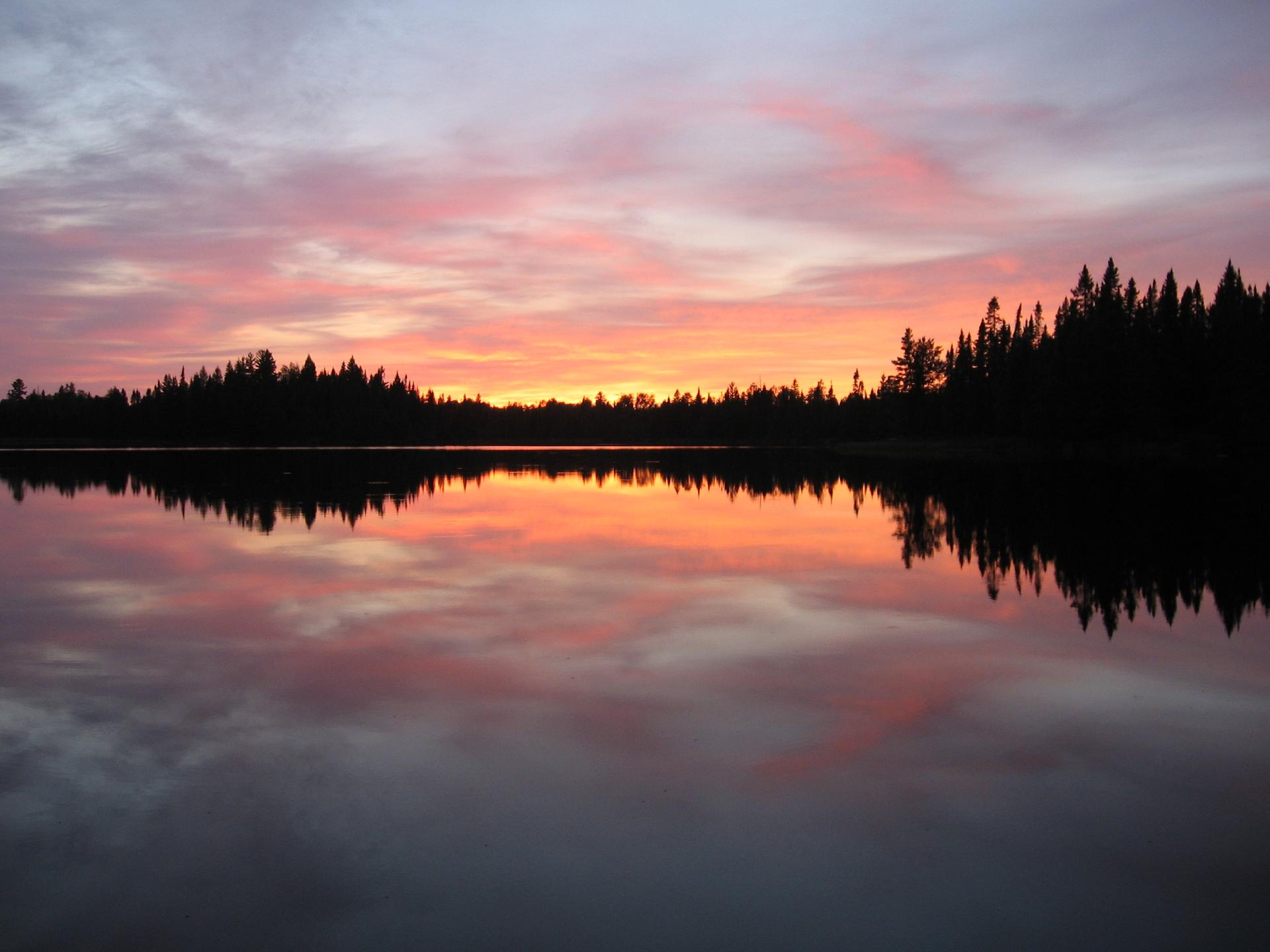
Looking beyond Border Route Hiking Trail? Discover Gunflint Trail for broader travel guides, local hot-spots, and regional highlights.
Explore Gunflint Trail
Experience the breathtaking natural beauty at CJ Ramstad Trail Parking, your gateway to outdoor adventures in Lutsen, Minnesota.
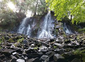
Explore Bridal Falls in Grand Marais, MN – a breathtaking waterfall surrounded by lush nature, perfect for hiking, photography, and peaceful retreats.
