From Eve
Know before you go
Hi, I'm Eve. Here are a few practical things to know before exploring Devils Backbone Wilderness.
Local know-how to help you travel smarter and make the most of every moment.

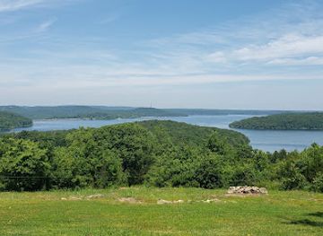
Explore the rugged beauty of Missouri's Devils Backbone Wilderness: hiking, backpacking, and pristine Ozark landscapes await in Mark Twain National Forest.
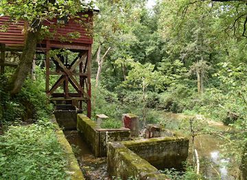
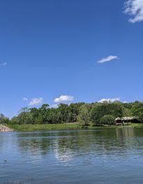
The Devils Backbone Wilderness, nestled in the Missouri Ozarks, offers a rugged and scenic escape with its namesake ridge, diverse flora and fauna, and the clear-flowing North Fork River. It's a haven for hikers, backpackers, and nature enthusiasts seeking a tranquil wilderness experience.
Opening times, essentials, and a few local tips gathered into one calmer, easier-to-scan planning section.
Hi, I'm Eve. Here are a few practical things to know before exploring Devils Backbone Wilderness.
Local know-how to help you travel smarter and make the most of every moment.
Driving
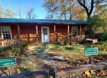
The most common way to access Devils Backbone Wilderness is by car. From Highway 60, turn onto Highway 160 towards Pottersville. Once in Pottersville, turn onto County Road 233, then continue onto Forest Road 2020 for approximately 4 miles until you see signs for the trailhead. Parking is available at the trailhead. Be aware that parking can be limited, especially during peak seasons. There are no fees for parking or accessing the wilderness area.
Public Transportation
Public transportation to Devils Backbone Wilderness is limited. The nearest town with public transit is West Plains, MO. From there, you would need to arrange for a taxi or rideshare service to reach the wilderness area. This option requires advance planning due to limited availability and costs will vary depending on the distance and service used. Expect to pay around $50-$75 for a one-way trip from West Plains to the trailhead.
Use Devils Backbone Wilderness as your starting point for nearby food, family ideas, nightlife, and more local discoveries.

Explore expert travel guides, compare and book tours, experiences, hotels, and more—all from the palm of your hand. Download now for seamless trip planning wherever your wanderlust takes you.