From Eve
Know before you go
Hi, I'm Eve. Here are a few practical things to know before exploring White River Valley Trail System.
Local know-how to help you travel smarter and make the most of every moment.

Explore the rugged beauty of the Ozarks on this challenging trail system near Branson, offering diverse landscapes and scenic views.
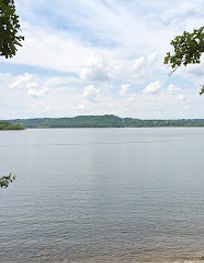
The White River Valley Trail System, nestled in Table Rock State Park near Branson, Missouri, offers a challenging and scenic experience for hikers and mountain bikers alike. With four distinct loops winding through rugged terrain, the trail system showcases the Ozark's natural beauty and diverse ecosystems.
Opening times, essentials, and a few local tips gathered into one calmer, easier-to-scan planning section.
Hi, I'm Eve. Here are a few practical things to know before exploring White River Valley Trail System.
Local know-how to help you travel smarter and make the most of every moment.
Driving
The White River Valley Trail System is located within Table Rock State Park, south of Branson. From Branson, take Highway 165 south. The park entrance is well-marked. Once inside the park, follow signs to the White River Valley Trail System trailhead. Parking is available near the trailhead.
Walking
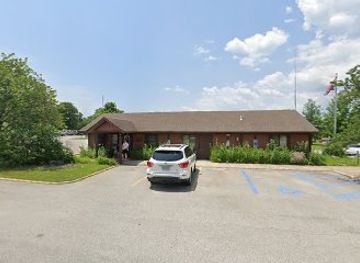
If you are already within Table Rock State Park, follow the park's internal roads or trails to reach the White River Valley Trail System trailhead. The trailhead is located a short distance west of the park office on Highway 165. Look for signs indicating the trail system.
Use White River Valley Trail System as your starting point for nearby food, family ideas, nightlife, and more local discoveries.


Explore expert travel guides, compare and book tours, experiences, hotels, and more—all from the palm of your hand. Download now for seamless trip planning wherever your wanderlust takes you.

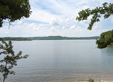
Discover the serene beauty and endless outdoor adventures at Table Rock Lake in the heart of the Ozarks.
Tell me more about Table Rock Lake