
Explore the Scenic Beauty of Warm Springs Creek Trail
Discover the natural beauty of Warm Springs Creek Trail in Conner, Montana, where stunning landscapes and rich wildlife await every outdoor enthusiast.
Nestled in the heart of Montana, Warm Springs Creek Trail offers an unforgettable hiking experience, showcasing stunning landscapes, diverse wildlife, and serene natural beauty perfect for outdoor enthusiasts and nature lovers.
A brief summary to Warms Springs Creek Trail
- Conner, Montana, 59827, US
- +1406-363-7100
- Visit website
Local tips
- Visit early in the morning for cooler temperatures and the chance to see wildlife.
- Wear sturdy hiking boots to navigate the varied terrain comfortably.
- Bring a camera to capture the stunning views and unique wildlife you may encounter.
- Check local weather conditions before your hike to ensure a safe experience.
- Pack out what you pack in to help keep the trail clean and preserve its beauty.
Getting There
-
Car
If you are traveling by car, start your journey in the town of Conner, Montana. From Conner, head south on MT-93 S for about 5 miles. After passing the junction with MT-46, continue on MT-93 S for another 3 miles. Look for a sign that indicates the entrance to Bitterroot National Forest. Turn left onto the forest road and follow it for approximately 2 miles. Keep an eye out for trailhead signs indicating Warms Springs Creek Trail. There may be a small parking area available near the trailhead.
-
Public Transportation
Public transportation options are limited in this area. However, you can take a Greyhound bus to Missoula, Montana, and then rent a car or use a taxi service to reach Conner. Once in Conner, follow the car guidance described above to reach Warms Springs Creek Trail. Make sure to check the Greyhound schedule in advance for availability and potential costs.
-
Hiking
If you are already within Bitterroot National Forest and wish to hike to Warms Springs Creek Trail, locate the nearest forest service trail that connects to the main trails of the forest. Make sure to carry a map and a compass or GPS device. Use the coordinates (Latitude: 45.812137, Longitude: -114.069164) to guide you towards the trailhead. Be prepared for varying terrain, and ensure you have proper footwear and supplies for a hike.
Discover more about Warms Springs Creek Trail
Iconic landmarks you can’t miss
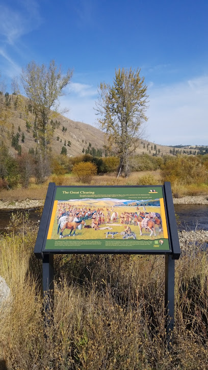
Lewis and Clark Interpretive Site
7.5 km
Discover the Lewis and Clark Interpretive Site in Montana, where history and breathtaking landscapes converge to tell a tale of adventure and exploration.
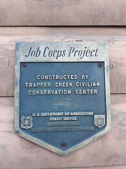
West Fork Ranger Station
14.7 km
Explore the breathtaking landscapes and outdoor adventures at West Fork Ranger Station in Montana, a perfect stop for nature enthusiasts and adventurers.
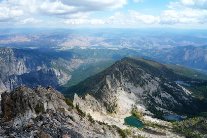
Trapper Peak
19.7 km
Experience the breathtaking beauty of Trapper Peak, Montana’s highest peak, with stunning views, challenging hikes, and abundant wildlife.
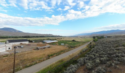
Salmon River Mission Marker
98.1 km
Experience the rich history and scenic beauty at the Salmon River Mission Marker, an essential stop for history lovers in Idaho.
Unmissable attractions to see
Medicine Point Lookout
3.2 km
Discover the stunning vistas and serene beauty of Medicine Point Lookout, a must-visit scenic spot in the Bitterroot Valley of Montana.
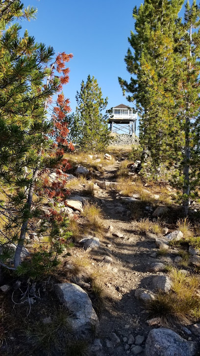
Medicine Tree Historical Marker
10.5 km
Explore the Medicine Tree Historical Marker in Sula, Montana, a significant site reflecting rich indigenous history and natural beauty.

Gibbons Pass Interpretive Site
14.0 km
Experience the breathtaking views and rich biodiversity at Gibbons Pass Interpretive Site, a scenic spot in Montana's Bitterroot Mountains.
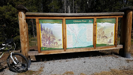
C. Ben White Trailhead
14.1 km
Discover the breathtaking beauty of C. Ben White Trailhead in Montana - a perfect hiking escape into nature's serene landscapes.

Boulder Creek Trailhead
14.3 km
Explore the breathtaking Boulder Creek Trailhead in Bitterroot Valley, Montana, a perfect escape for nature lovers and hiking enthusiasts.
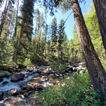
Trapper Peak Trailhead
15.6 km
Discover the beauty of Trapper Peak Trailhead in Montana's Bitterroot National Forest, where stunning views and invigorating hikes await every outdoor enthusiast.
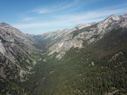
Baker Lake Trail Head
16.3 km
Discover the breathtaking beauty of Baker Lake Trail Head in Darby, Montana – a hiker's paradise with stunning landscapes and tranquil fishing spots.
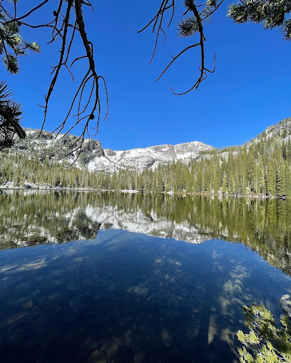
Baker Lake Trail Corner
16.7 km
Explore Baker Lake Trail Corner, an enchanting destination in Montana perfect for hiking, photography, and reconnecting with nature's beauty.
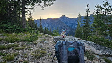
Trapper Creek Trailhead
17.3 km
Experience the breathtaking landscapes and serene trails at Trapper Creek Trailhead, a must-visit hiking destination in Montana.
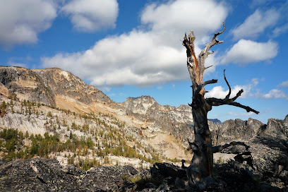
Little Boulder Trailhead
17.8 km
Discover the serene beauty of Little Boulder Trailhead in Montana, a perfect destination for hiking and nature lovers seeking adventure and tranquility.

Chaffin Creek Trail
19.5 km
Discover the breathtaking beauty of Chaffin Creek Trail in Montana, a perfect hiking destination for nature lovers and outdoor enthusiasts.
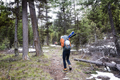
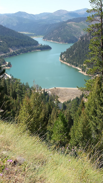
Painted Rocks State Park
23.3 km
Explore the vibrant landscapes of Painted Rocks State Park in Montana, a perfect destination for outdoor enthusiasts and nature lovers.
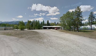
South Park
24.1 km
Discover the natural beauty and tranquility of South Park in Darby, Montana – a perfect escape for outdoor lovers and nature enthusiasts.
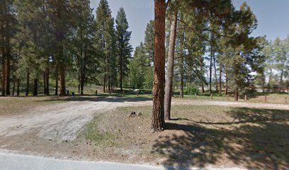
Tin Cup Park
24.4 km
Experience the tranquil beauty of Tin Cup Park in Darby, Montana, where nature and adventure meet in perfect harmony.
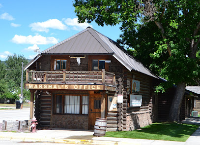
Darby Pioneer Memorial Museum
24.7 km
Explore Darby's history at the Darby Pioneer Memorial Museum, a hub of local heritage with fascinating exhibits and stories waiting to be discovered.
Essential places to dine
Spice of Life Cafe
47.8 km
Experience fresh flavors and warm hospitality at Spice of Life Cafe in Hamilton, Montana – a must-visit culinary gem for travelers.

Coffee Cup Cafe
48.3 km
Experience delightful breakfasts and warm hospitality at Coffee Cup Cafe in Hamilton, Montana – your perfect stop for comfort food.

Taco Del Sol
48.5 km
Discover authentic Mexican flavors at Taco Del Sol in Hamilton - where every bite transports you to Mexico with delicious tacos and refreshing drinks.

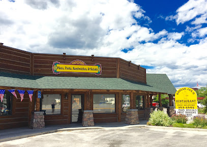
Kodiak Jax II
48.8 km
Experience delicious pizzas and diverse dishes at Kodiak Jax II in Hamilton, MT - a must-visit spot for food lovers.
Suzette's Organics
48.8 km
Experience delicious organic cuisine at Suzette's Organics in Hamilton, Montana - where fresh meets flavorful in every dish.

Bouilla
48.8 km
Discover Bouilla in Hamilton, MT - where local flavors meet warm hospitality for an unforgettable dining experience.

Back Door Deli
48.8 km
Discover Back Door Deli in Hamilton, MT – where delicious deli sandwiches meet a cozy atmosphere perfect for all travelers.

A Thaiger
48.8 km
Discover authentic Thai flavors at A Thaiger in Hamilton, Montana - where every dish tells a story of culinary tradition.

Maria's
48.8 km
Experience culinary excellence at Maria's in Hamilton, Montana—where fresh ingredients meet heartfelt hospitality.
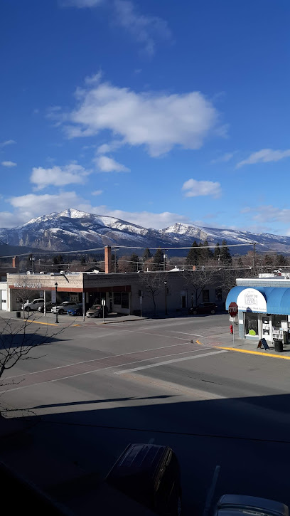
Bitter Root Brewing
48.8 km
Experience the best of local craft brewing at Bitter Root Brewing in Hamilton, Montana - where great beer meets delicious food.

Nap's Grill
48.9 km
Discover Nap's Grill: A culinary delight in Hamilton offering gourmet burgers and American classics in a warm and inviting atmosphere.

Ravalli Fun Center
49.3 km
Experience endless fun at Ravalli Fun Center with bowling, arcade games, delicious food, and more in Hamilton, Montana.

Higherground Brewing Co.
49.4 km
Experience exceptional craft beers and delicious cuisine at Higherground Brewing Co., Hamilton's premier brewery offering unique flavors in a welcoming atmosphere.

Cheng Family Restaurant
49.4 km
Discover authentic Chinese flavors at Cheng Family Restaurant in Hamilton - where each meal is crafted with care and tradition.

McDonald's
49.6 km
Experience fast food favorites at McDonald's in Hamilton; where quality meets convenience amid stunning Montana landscapes.

Markets, malls and hidden boutiques
West Fork Mountain Crafts
13.8 km
Discover the artistic essence of Montana at West Fork Mountain Crafts, where local craftsmanship meets breathtaking natural beauty.

Connor Market
13.8 km
Explore the rich flavors of Montana at Connor Market, a gourmet grocery store and deli offering local delights in a charming setting.

The Fluffy Butt Hut Bakery
14.2 km
Discover the delightful flavors of The Fluffy Butt Hut Bakery in Darby, Montana, where every bite is a taste of sweet heaven.

Bob's bottlemania
15.1 km
Explore Bob's Bottlemania in Darby, Montana, a charming antique store filled with vintage bottles and unique memorabilia that tells stories of the past.

Classics & Vettes By Fred
20.7 km
Discover the vintage charm of classic muscle cars at Classics & Vettes By Fred, a premier destination for car lovers in Darby, Montana.

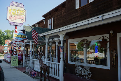
Old West Antiques & Candy Store
24.6 km
Explore the charm of the Old West with unique antiques and delightful candies at Old West Antiques & Candy Store in Darby, Montana.
Mr T's Mercantile
24.6 km
Discover quality outdoor gear and local craftsmanship at Mr T's Mercantile, your go-to sporting goods store in beautiful Darby, Montana.

New-2-U Thrift Store
24.7 km
Explore the charm of Darby, Montana at New-2-U Thrift Store, a unique thrift shopping destination filled with hidden treasures and community spirit.

CrimsonBlue Graphic Art LLC
24.8 km
Discover unique gifts and custom designs at CrimsonBlue Graphic Art LLC in Darby, Montana—a true gem for tourists seeking local artistry.

Local Flair Darby
24.8 km
Explore Local Flair Darby for unique Montana souvenirs and handmade crafts that capture the spirit of the region.

The Bitterroot Flower & Gift Co
24.8 km
Discover the charm of The Bitterroot Flower & Gift Co in Darby, MT, your destination for exquisite floral arrangements and unique local gifts.

Bitterroot Trout Shop
24.8 km
Discover the charm of Bitterroot Trout Shop in Darby, Montana, your premier destination for fishing gear and local expertise.
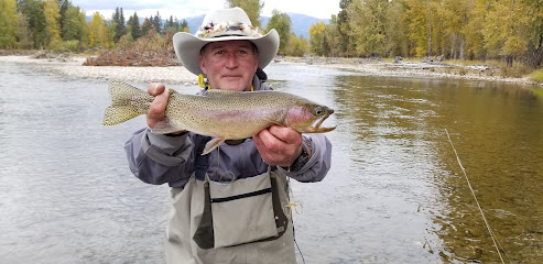
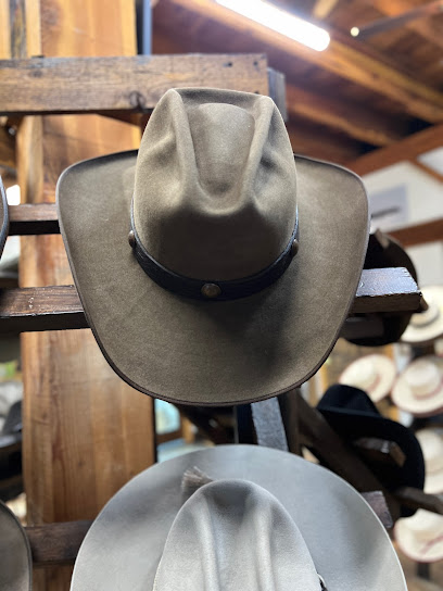
Double H Custom Hat Co
25.9 km
Explore Double H Custom Hat Co in Darby, Montana, where unique craftsmanship meets personalized service for the perfect hat.
Mrs. Murphy's Stitches
27.1 km
Discover the artistry of embroidery at Mrs. Murphy's Stitches in Darby, Montana, where local craftsmanship meets creative expression.

Leather Sage LLC
36.3 km
Explore Leather Sage LLC in Hamilton, Montana, for exquisite handmade leather goods and unique artistic treasures that embody local craftsmanship.

Essential bars & hidden hideouts
Knotty Nymph
10.8 km
Discover the flavors of the American West at Knotty Nymph, a premier steakhouse in Conner, Montana, where every bite is a taste of local tradition.
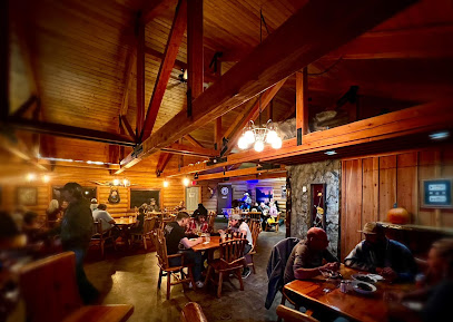
Two Rivers Bar & Casino
13.8 km
Discover the vibrant atmosphere of Two Rivers Bar & Casino in Conner, Montana, where gaming excitement meets friendly service and refreshing drinks.

The Old West cafe
24.6 km
Experience hearty meals and vintage charm at The Old West Cafe in Darby, Montana, where nostalgia meets delicious dining.

406 Saloon/ Big Cat Cafe
24.8 km
Discover the flavors and fun of the 406 Saloon & Big Cat Cafe in Darby, Montana – where great food meets lively entertainment.
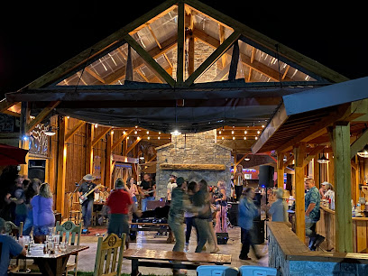
Sawmill Bar
24.8 km
Experience the charm of Montana at Sawmill Bar, where local brews and live music create the perfect evening atmosphere.

Brewski’s - Grill, Sports Bar, & Casino
47.6 km
Discover Brewski’s - a vibrant grill, sports bar, and casino in Hamilton, Montana, offering delicious food and thrilling gaming in one lively venue.

Marley's Bar & Casino
48.7 km
Discover the lively Marley's Bar & Casino in Hamilton, Montana, where fun, drinks, and gaming come together for an unforgettable experience.

Golden Moose Bar
48.8 km
Experience the charm of Hamilton, Montana at Golden Moose Bar – where locals gather, drinks flow, and good times are had.

Silver Coin Bar & Casino
48.8 km
Discover the vibrant nightlife and gaming experience at Silver Coin Bar & Casino in Hamilton, Montana - the perfect blend of fun and relaxation.

Backroad Cider
48.9 km
Experience the essence of Montana's craft cider scene at Backroad Cider in Hamilton, where every sip tells a story of local heritage and flavor.

The Edge Restaurant & Sports Bar
51.1 km
Experience the best of Montana's culinary scene at The Edge Restaurant & Sports Bar in Hamilton, offering mouthwatering grilled dishes and a lively sports atmosphere.

Antler Saloon
52.8 km
Discover the rustic charm of Antler Saloon in Wisdom, Montana, where local brews and a friendly atmosphere await every traveler.

Corvallis Tavern
55.9 km
Experience the heart of Montana at Corvallis Tavern, a welcoming bar offering local brews, delicious bites, and a vibrant community atmosphere.

Cowboy Troy's
67.4 km
Experience the heart of Montana at Cowboy Troy's – a grill and bar serving delicious food and live music in a vibrant atmosphere.

flying pig saloon
67.7 km
Discover the rustic charm of the Flying Pig Saloon, a lively bar in Victor, Montana, perfect for unwinding with friends and savoring local brews.


