Eagle Rock Loop, Ouachita National Forest Travel Guide
Explore the stunning Eagle Rock Loop in Langley, Arkansas, a perfect hiking destination offering breathtaking views and rich wildlife experiences.
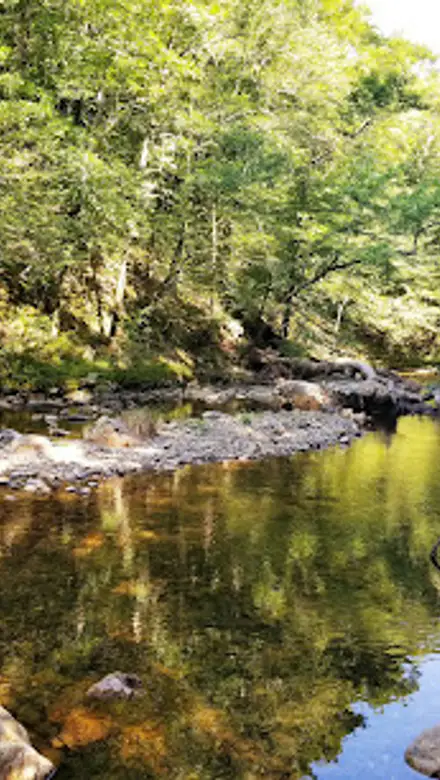
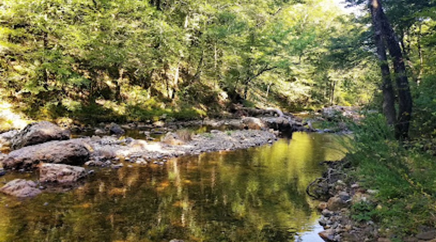
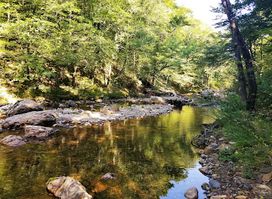
Eagle Rock Loop in Langley, Arkansas, is a breathtaking hiking destination that offers stunning views and an immersive nature experience for all adventure seekers. This scenic trail showcases the beauty of the Ouachita Mountains, with diverse landscapes and rich wildlife.
A brief summary to Eagle Rock Loop
- Langley, Arkansas, 71952, US
- Click to display

Know before you go
Hi, I'm Eve. Here are a few practical things to know before exploring Eagle Rock Loop.
- Bring plenty of water and snacks for your hike, as there are limited facilities along the trail.
- Wear sturdy hiking boots to navigate the rocky and uneven terrain safely.
- Consider visiting in the early morning or late afternoon for cooler temperatures and fewer crowds.
- A camera is a must; the scenic overlooks provide stunning photo opportunities.
- Check the weather forecast before your visit, as conditions can change rapidly in the mountains.
Do you manage this location?
Take control to get all the benefits, like improved information, better appearance, and stronger visibility across AI-powered discovery. Learn more about listing your business on Evendo
Activate your presenceOther nearby places you may find interesting
The closest places of the same kind, if this one is not quite what you had in mind.
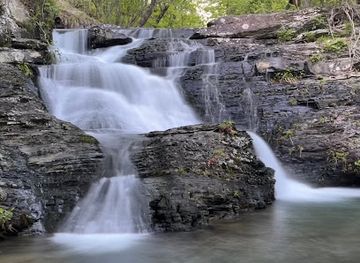
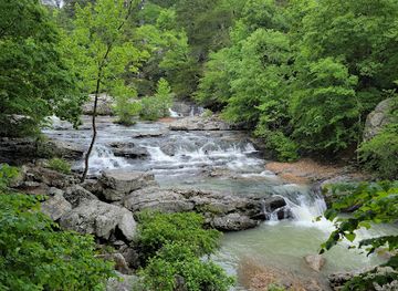
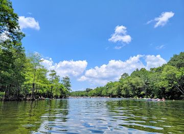
Explore Eagle Rock Loop on the Map
A handpicked selection of must-see spots near Eagle Rock Loop, mapped for you.
Getting There
-
Car
From any location within Ouachita National Forest, head towards Highway 270. If you are near Mena, AR, take Highway 71 South to Highway 270 East. If coming from the north, follow Highway 7 South until you reach Highway 270. Continue on Highway 270 for about 20 miles until you reach the intersection with Highway 59. Turn left onto Highway 59 South, and continue for approximately 10 miles. Look for signs indicating Eagle Rock Loop; the trailhead is located at the end of Eagle Rock Loop Road. There is a parking area where you can leave your car.
-
Public Transportation
Public transportation options are limited in this rural area. The nearest bus station with services is in Mena, AR. Once in Mena, you will need to arrange a taxi or ride-share service to reach Eagle Rock Loop. It's approximately a 30-minute drive from Mena to the trailhead. Be sure to check local taxi services ahead of time for availability and costs, as they can vary.
-
Hiking
If you're already on a nearby trail within Ouachita National Forest, you can hike to Eagle Rock Loop. Make sure to have a detailed map of the forest, as paths can be confusing. Look for trail markers indicating the direction towards Eagle Rock Loop. The hike can take several hours depending on your starting point. Bring plenty of water and snacks for the journey.
Discover more about Eagle Rock Loop













Your all‑in‑one travel companion app
Explore expert travel guides, compare and book tours, experiences, hotels, and more—all from the palm of your hand. Download now for seamless trip planning wherever your wanderlust takes you.


Explore More of Ouachita National Forest
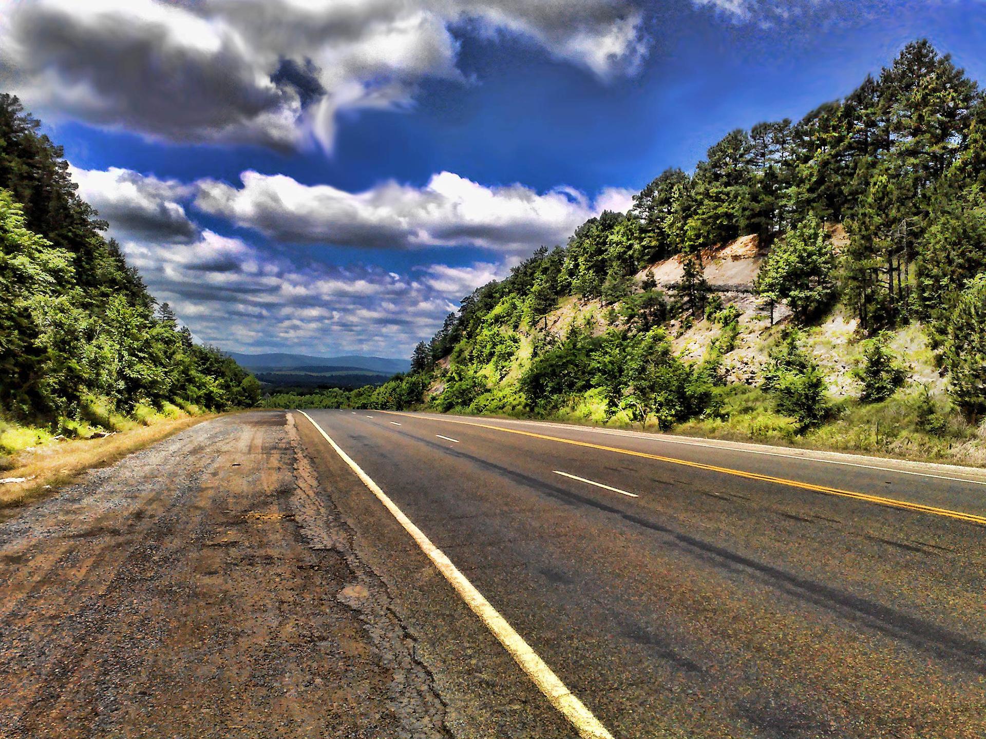
Looking beyond Eagle Rock Loop? Discover Ouachita National Forest for broader travel guides, local hot-spots, and regional highlights.
Explore Ouachita National Forest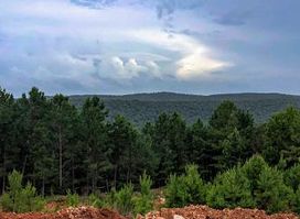
Dig for your own quartz crystals at Arkansas' oldest public dig site. Family fun, rock shop, and free museum in Mount Ida!
Conquer Arkansas's most challenging loop trail: 26.8 miles of Ouachita Mountain beauty and rugged wilderness.