From Eve
Know before you go
Hi, I'm Eve. Here are a few practical things to know before exploring Castle Rock Malakand.
Local know-how to help you travel smarter and make the most of every moment.

Explore the historical marvel of Castle Rock Malakand in Khyber Pakhtunkhwa, Pakistan, and immerse yourself in its rich heritage and stunning landscapes.
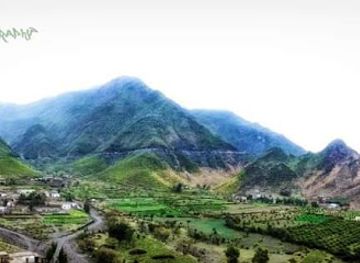
Castle Rock Malakand stands as a stunning historical landmark in Khyber Pakhtunkhwa, Pakistan. With its impressive architecture and rich history, it offers tourists a glimpse into the region's storied past. Visitors can explore the ancient tunnels and enjoy the breathtaking views that surround this captivating site.
Opening times, essentials, and a few local tips gathered into one calmer, easier-to-scan planning section.
Hi, I'm Eve. Here are a few practical things to know before exploring Castle Rock Malakand.
Local know-how to help you travel smarter and make the most of every moment.
Car
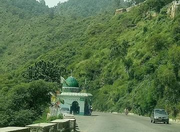
If you are traveling by car, start from Batkhela, the nearest major town. Head northwest on the Main Batkhela Road (N-45) for approximately 3 kilometers. Look for signs indicating Castle Rock Malakand, which is located at the coordinates 34.567637 latitude and 71.9313288 longitude. The landmark will be on your right. Ensure your vehicle has good traction, as some roads may be uneven.
Public Transportation
To reach Castle Rock Malakand by public transport, take a local bus or a shared van from Batkhela to the nearby area. Local transport services frequently run on Main Batkhela Road. Inform the driver of your destination - they will usually know where Castle Rock is located. Expect to pay around 50-100 PKR for the fare. Once you arrive at the nearest stop, you may need to walk approximately 1 kilometer to reach Castle Rock. Look for local signs or ask locals for directions.
Walking
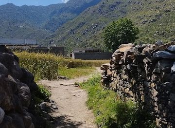
If you find yourself near Castle Rock Malakand after being dropped off by public transport or parking your car, follow the local paths leading to the site. From the nearest bus stop, head east, maintaining the castle's direction. The walk should take approximately 15-20 minutes, so be prepared for a short hike. Use the coordinates 34.567637, 71.9313288 to guide your way if you have a GPS device.
Use Castle Rock Malakand as your starting point for nearby food, family ideas, nightlife, and more local discoveries.

Explore expert travel guides, compare and book tours, experiences, hotels, and more—all from the palm of your hand. Download now for seamless trip planning wherever your wanderlust takes you.
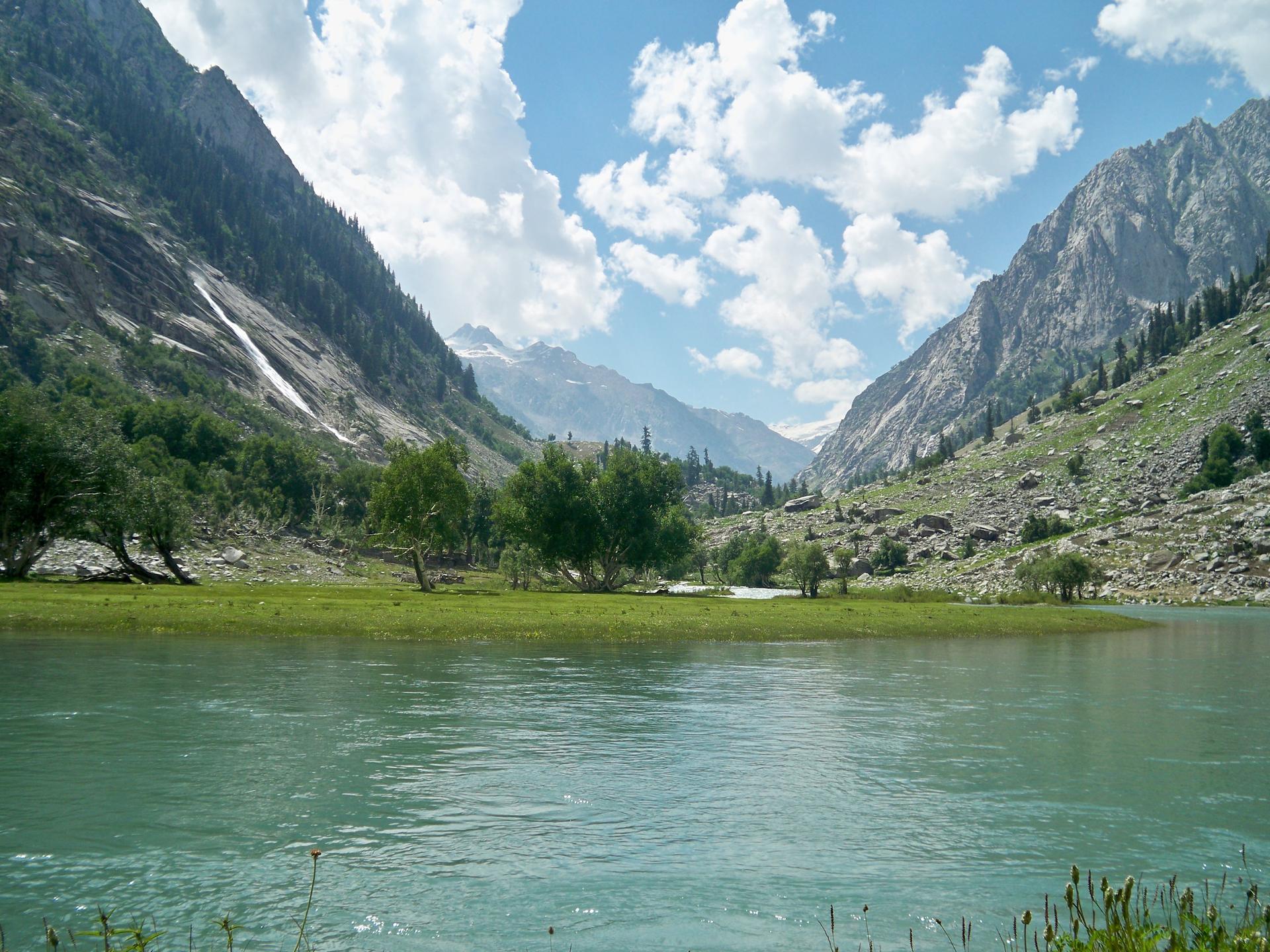
Discover the breathtaking landscapes, rich cultural heritage, and historical landmarks of Malakand Division, a hidden gem in the heart of Pakistan.
Tell me more about Malakand Division