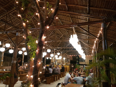
Explore the Rich History at the Relief Map of Mindanao
Discover the Relief Map of Mindanao: A Historical Landmark Showcasing the Geography and Rich Culture of Mindanao in Dapitan City.
The Relief Map of Mindanao in Dapitan City is a fascinating historical landmark that provides a unique perspective on the geography and history of the Mindanao region. This large-scale topographical model is not only educational but also a picturesque spot for visitors looking to immerse themselves in the local culture and history.
A brief summary to Relief Map of Mindanao
- MC3G+W2W, Gov Carnicero St, Dapitan City, Zamboanga del Norte, PH
Local tips
- Visit early in the morning or late afternoon for the best lighting for photography.
- Combine your visit with a trip to the nearby Dapitan Church for a full historical experience.
- Take your time to explore the details of the map, as it provides insights into Mindanao's diverse geography.
Getting There
-
Car
If you are traveling by car, head towards Dapitan City in Zamboanga del Norte. From Cagayan de Oro, take the N1 highway heading towards Iligan City. Continue on N1 until you reach the junction for the N10 highway. Follow the N10 to Dipolog City, and then take the road to Dapitan City. Once in Dapitan City, look for Gov. Carnicero St. The Relief Map of Mindanao is located at MC3G+W2W, right in front of the Dapitan Church. Parking is available nearby, but be cautious of local traffic rules.
-
Public Transportation
To reach the Relief Map of Mindanao using public transportation, take a bus from Cagayan de Oro to Dipolog City. The journey will take approximately 5-6 hours. Upon arrival in Dipolog, transfer to a local jeepney or bus heading to Dapitan City. The fare for the bus should be around PHP 200-300, and the jeepney fare will be about PHP 20-30. Once you reach Dapitan City, ask the driver to drop you off at Gov. Carnicero St. which is near the Dapitan Church. The Relief Map of Mindanao is located directly in front of the church.
-
Taxi or Ride-hailing Service
For a more convenient option, consider using a taxi or ride-hailing service like Grab from your location in Northern Mindanao to Dapitan City. The fare will vary depending on your starting point but expect to pay around PHP 1,500-3,000 for the trip. Once you arrive in Dapitan, you can ask the driver to drop you off at MC3G+W2W, Gov. Carnicero St, which is right in front of Dapitan Church where the Relief Map of Mindanao is located.
Discover more about Relief Map of Mindanao
Iconic landmarks you can’t miss
Relief Map of Mindanao
0.0 km
Discover the breathtaking landscapes and rich history of Mindanao at the iconic Relief Map in Dapitan City, a true gem for tourists and history enthusiasts alike.
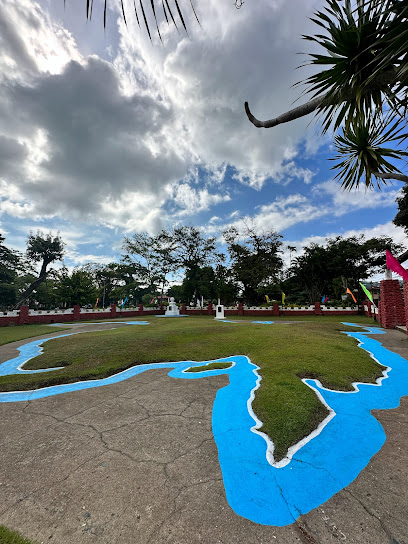
Punto de Dissembarco De Rizal en Dapitan
0.7 km
Explore the rich history and breathtaking views at the Punto de Dissembarco De Rizal, a significant landmark in Dapitan celebrating Dr. Jose Rizal.
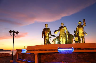
Maria, central visayas
62.4 km
Explore the historical landmarks and natural beauty of Maria, Siquijor, an enchanting destination for travelers and history enthusiasts alike.
Siquijor Belltower
63.0 km
Discover the rich heritage of Siquijor at the iconic Belltower, a historical landmark filled with stories and stunning views.
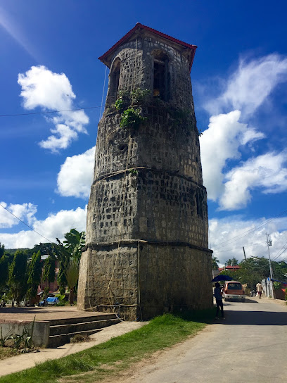
Salagdoong Forest
68.4 km
Experience the lush beauty and thrilling adventures of Salagdoong Forest, a natural paradise in Siquijor, Philippines, perfect for nature lovers and adventure seekers alike.
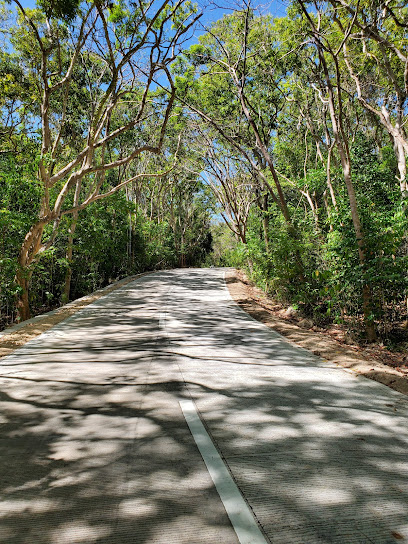
Cang-isok House
71.8 km
Explore the captivating Cang-isok House in Siquijor, a historical landmark that showcases the rich cultural heritage and architectural beauty of the Philippines.
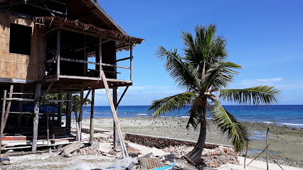
Mt. Malindang Memorial Gardens Inc. Sales Office
72.1 km
Experience tranquility and remembrance at Mt. Malindang Memorial Gardens in Ozamiz City, a serene retreat surrounded by nature's beauty.
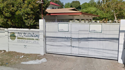
Cotta Fort
73.7 km
Discover Cotta Fort in Ozamiz City, a historical landmark showcasing Spanish colonial architecture and offering stunning views of the surrounding landscape.
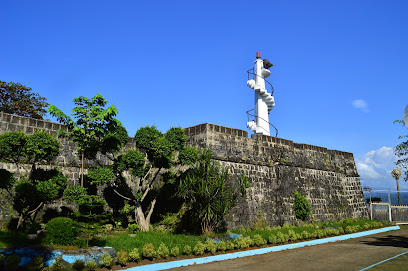
Silliman University Anthropology Museum
74.1 km
Explore the Silliman University Anthropology Museum, a cultural gem in Dumaguete, showcasing the rich history and heritage of the Philippines.
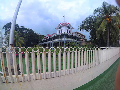
Filipino-Japanese Amity Memorial Shrine
75.3 km
Experience the tranquil beauty and historical significance of the Filipino-Japanese Amity Memorial Shrine in Valencia, Negros Oriental—a tribute to enduring friendship.
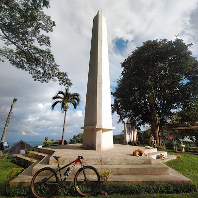
V-Hive at The Ruins
76.2 km
Explore the breathtaking V-Hive at The Ruins in Valencia, Negros Oriental, where nature meets art in a vibrant display of beauty and creativity.
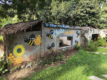
Tubod Public Plaza
78.1 km
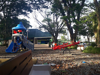
Experience the tranquility and vibrant local culture at Tubod Public Plaza, a serene park perfect for relaxation and community engagement in Lanao del Norte.
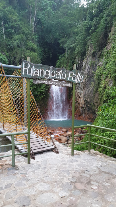
Pulangbato Falls
78.3 km
Explore the stunning Pulangbato Falls in Valencia, Negros Oriental — a natural wonder with vibrant red waters and lush surroundings, perfect for a refreshing escape.
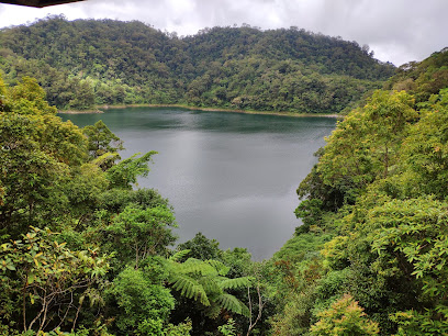
Balinsasayao Twin Lakes Natural Park
82.3 km
Discover the tranquility and natural wonders of Balinsasayao Twin Lakes Natural Park in Negros Oriental, a serene paradise for nature enthusiasts.
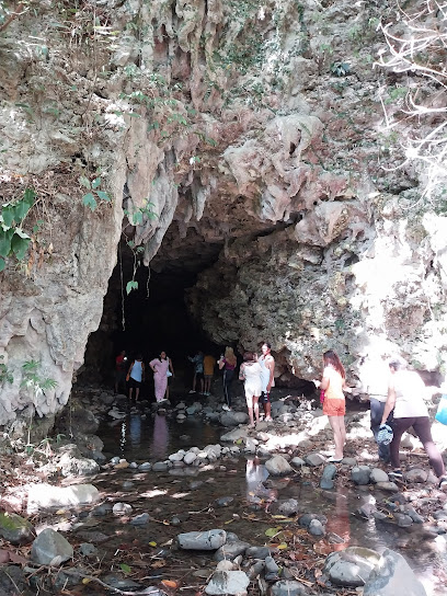
Kendis Cave
82.3 km
Explore Kendis Cave, a hidden gem in Pagadian City, where stunning rock formations and serene nature await every adventurous traveler.
Unmissable attractions to see
Ilihan Hill
0.3 km
Experience the breathtaking views and tranquil beauty of Ilihan Hill, a hidden gem in Dapitan City, Zamboanga del Norte, perfect for nature lovers.
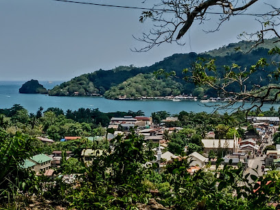
Punto de Desembarco de Rizal en Dapitan
0.7 km
Explore the historical significance and breathtaking views of Punto de Desembarco de Rizal in Dapitan, a tribute to the legacy of José Rizal.
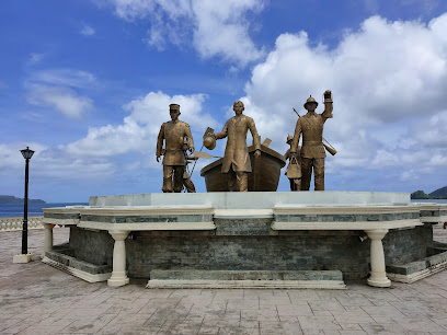
Glorious Fantasyland
1.1 km
Discover the enchanting world of Glorious Fantasyland, a premier amusement park in Dapitan City, where adventure and magic await every visitor.
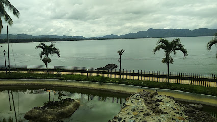
Fantasyland snow world ️
1.2 km
Experience the magic of winter all year round at Fantasyland Snow World, a delightful attraction for families and adventure seekers alike.

Rizal Park and Shrine Dapitan
1.6 km
Explore Rizal Park and Shrine in Dapitan City, where history meets nature, honoring the legacy of the Philippines' national hero, Dr. Jose Rizal.
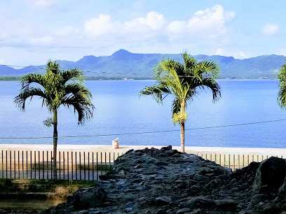
Dakak Park and Beach Resort
5.7 km
Experience the ultimate tropical getaway at Dakak Park and Beach Resort, where stunning beaches meet luxurious accommodations in Zamboanga del Norte.

Baybay canlucani
6.8 km
Experience the breathtaking shores of Baybay Canlucani, a hidden gem in Dapitan City, combining natural beauty with rich cultural heritage.
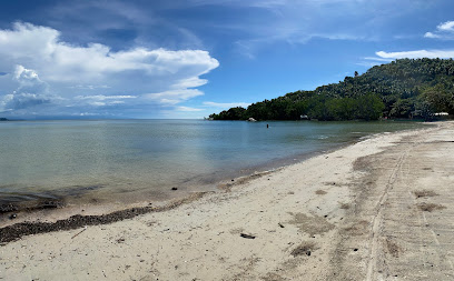
Linabo Peak
8.3 km
Explore the stunning Linabo Peak in Dapitan City, where breathtaking views and serene hikes await every nature lover.
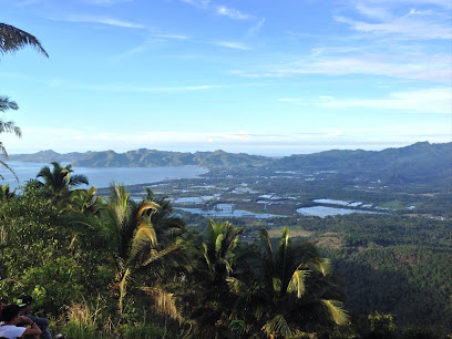
3003 Steps Linabo Peak
9.4 km
Experience the breathtaking beauty and challenging ascent of Linabo Peak with its 3003 steps leading to stunning panoramic views in Dipolog City.
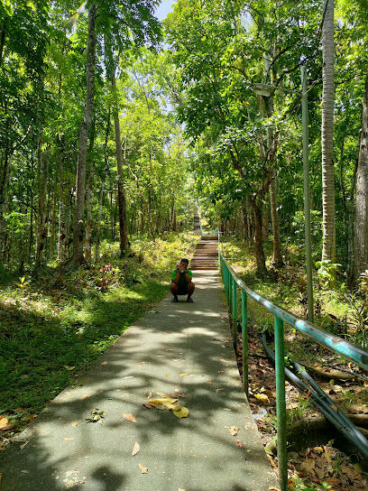
Sidlakan Cove Beach Resort
9.8 km
Experience the breathtaking beauty of Sidlakan Cove Beach Resort, your perfect getaway for relaxation and adventure along the stunning Bohol Sea.
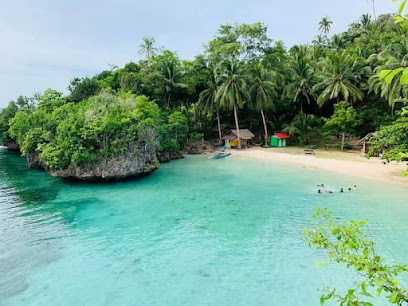
Our Lady Of The Most Holy Rosary Cathedral
11.6 km
Explore the architectural beauty and serene ambiance of the Our Lady Of The Most Holy Rosary Cathedral in Dipolog City, Zamboanga del Norte.
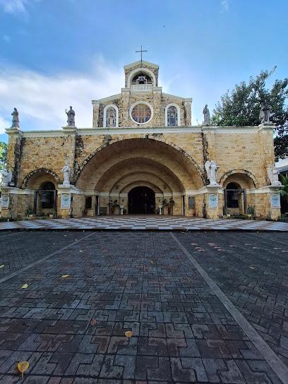
Zamboanga Del Norte Provincial Museum
11.7 km
Explore the Zamboanga Del Norte Provincial Museum, where history and culture come alive through captivating exhibits and local artistry.
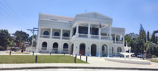
Casa Bernedo
12.0 km
Uncover the historical treasures of Dipolog City at Casa Bernedo, a captivating museum showcasing the rich culture of the Zamboanga del Norte region.
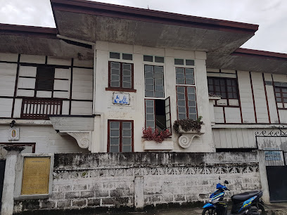
Sta. Cruz Marker
12.1 km
Explore the Sta. Cruz Marker, a historical landmark symbolizing the rich culture and heritage of Dipolog City in Zamboanga del Norte.

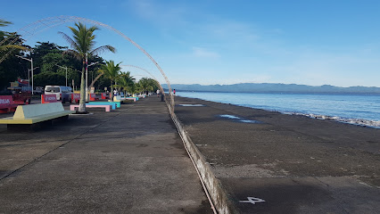
Dipolog City Boulevard
12.3 km
Experience the enchanting blend of nature and culture at Dipolog City Boulevard, a serene waterfront paradise in the heart of Zamboanga del Norte.
Essential places to dine
Balete Bistro
54.4 km
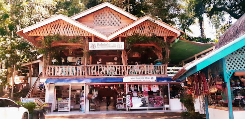
Experience delicious fast food with a local twist at Balete Bistro in Siquijor - where flavor meets island charm.
Tambayanan Cafe-FaD Barn
54.9 km
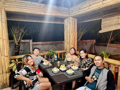
Experience authentic Filipino flavors at Tambayanan Cafe-FaD Barn in San Juan, Siquijor - a culinary treasure nestled in paradise.
Salamandas Restaurant
55.0 km
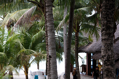
Experience exquisite seafood dining at Salamandas Restaurant, nestled within Coco Grove Beach Resort in Siquijor's tropical paradise.
Sunset Restaurant
55.1 km
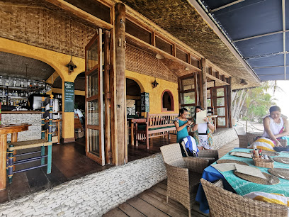
Experience authentic Filipino flavors with breathtaking sunset views at Sunset Restaurant in Siquijor.
Chekesh Casa
55.3 km
Experience authentic Filipino cuisine at Chekesh Casa in San Juan, Siquijor - where every dish tells a story.
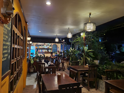
Baha Ba’r
55.9 km
Discover Baha Ba’r in Siquijor - where culinary artistry meets breathtaking views for an unforgettable dining experience.
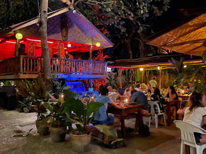
C Zars
55.9 km
Discover the vibrant flavors of Filipino cuisine at C Zars in San Juan, Siquijor - a culinary destination for every traveler.
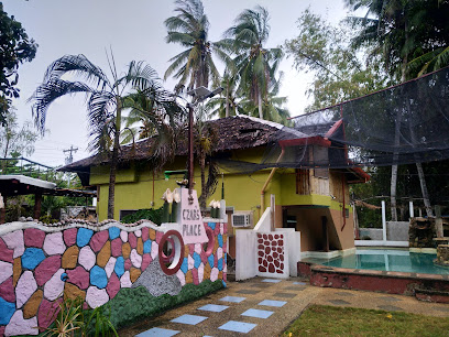
Luca Loko
56.1 km
Experience the flavors of Siquijor at Luca Loko – where culinary artistry meets warm hospitality in a picturesque setting.
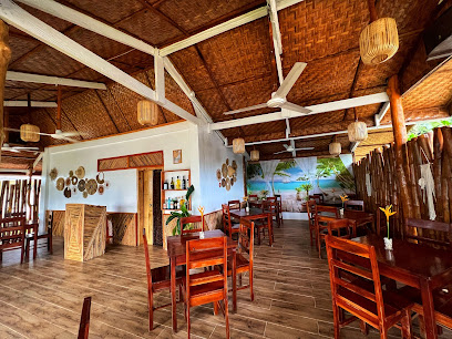
Aroi Makmak Thai station cafe and restaurant
56.2 km
Experience authentic Thai cuisine at Aroi Makmak in Siquijor - where every dish tells a flavorful story amidst tropical charm.
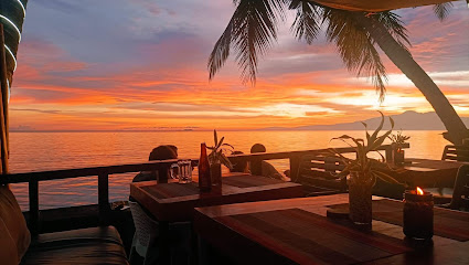
Nakabalo restaurant
56.2 km
Experience authentic Filipino cuisine with stunning views at Nakabalo Restaurant in San Juan, Siquijor - a culinary gem not to be missed.
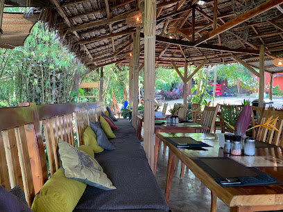
Marco Polo Italian Restaurant
56.3 km
Discover authentic Italian cuisine at Marco Polo Italian Restaurant in Siquijor - where every meal is a celebration of flavor!
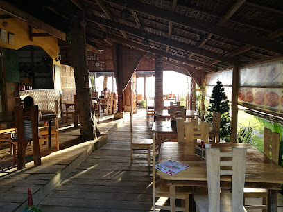
Angel Wish
56.3 km
Experience delectable seafood and heartwarming breakfasts at Angel Wish on Siquijor Island – where every meal is a taste of paradise.
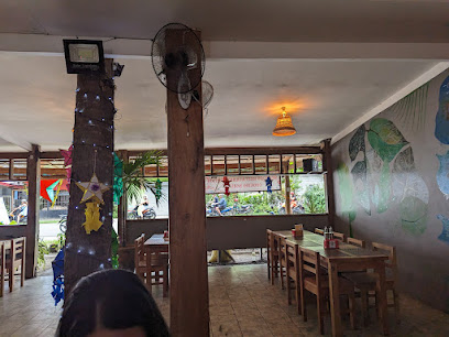
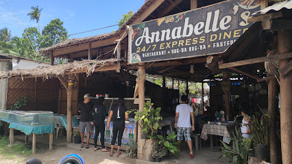
Annabelle's 24/7 Express Diner
56.6 km
Experience round-the-clock deliciousness at Annabelle's 24/7 Express Diner in San Juan, Siquijor—where local flavors meet international favorites.
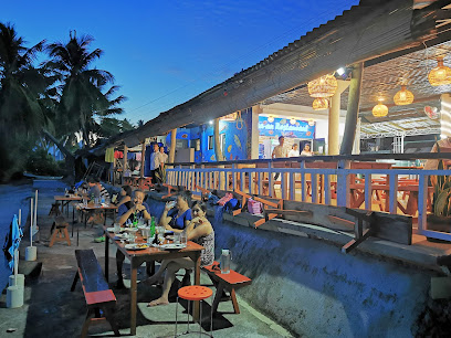
Dagsa-an Restaurant Siquijor
57.0 km
Experience authentic Filipino cuisine in a vibrant setting at Dagsa-an Restaurant in San Juan, Siquijor – where every meal tells a story.
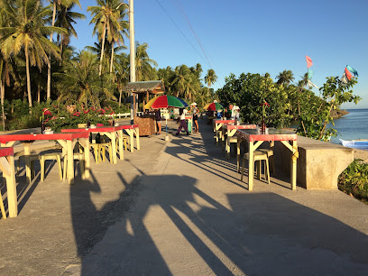
Roch Cuisine
57.2 km
Experience authentic Filipino flavors at Roch Cuisine in San Juan, Siquijor - where every dish tells a story.
Markets, malls and hidden boutiques
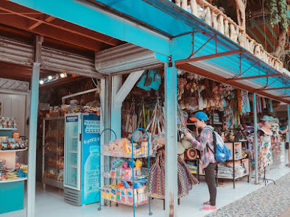
Alrex Souvenir Shop and Pasalubong Center
54.4 km
Discover Alrex Souvenir Shop: Your go-to destination for authentic local crafts and delectable treats in Siquijor.
Habagat - RJ Treehouse Outdoor Shop
54.7 km
Discover outdoor fashion and gear at Habagat - RJ Treehouse Outdoor Shop, your ultimate destination for adventure in Dumingag.

Jen's store
54.7 km
Explore the heart of Dumingag at Jen's Store, a treasure trove of local goods and cultural experiences in Zamboanga del Sur.

Island Lokal artisan products
55.9 km
Explore the artistry of Siquijor at Island Lokal, your go-to gift shop for unique, handmade artisan products that embody the island's spirit.
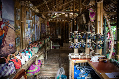
Dumingag Public Market
56.2 km
Explore the vibrant Dumingag Public Market, a treasure trove of fresh produce, local crafts, and a true taste of Zamboanga del Sur's culture.
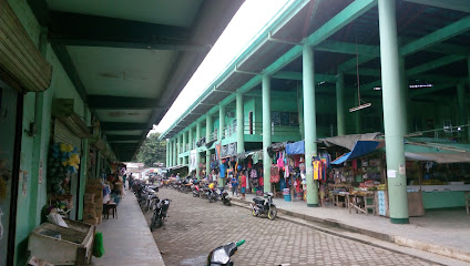
Minerva Couture and Apparel Shop
56.5 km
Explore the elegance and local craftsmanship at Minerva Couture and Apparel Shop in San Pedro, Zamboanga del Sur.

Kalinaw Siquijor
57.9 km
Discover authentic Filipino crafts at Kalinaw Siquijor, a boutique in San Juan offering unique souvenirs and local artistry.

Better U Boutique
58.8 km
Explore unique local crafts and trendy fashion at Better U Boutique, Mahayag's charming department store for all your shopping needs.
Capitan Sari-sari Store
61.3 km
Discover local flavors and authentic Filipino culture at Capitan Sari-sari Store in Siquijor, a must-visit for every tourist.

Top Up Store
61.9 km
Experience local shopping at Top Up Store in Mahayag, where fresh produce and local delicacies meet authentic Filipino hospitality.

Super A Drugmart
62.0 km
Discover the vibrant local culture and fresh produce at Super A Drugmart, your go-to grocery store in the heart of Siquijor.
Trend Portal Online Shop (JS Siquijor)
62.6 km
Uncover the charm of Siquijor at Trend Portal Online Shop, where local treasures and unique souvenirs await every traveler.
Wilcris Sari-Sari Store
62.6 km
Discover the charm of local shopping at Wilcris Sari-Sari Store in Siquijor, where friendly service meets a delightful selection of essentials and souvenirs.
Ellynehc Store & Dry Goods
62.7 km
Experience the charm of Siquijor at Ellynehc Store & Dry Goods, your go-to spot for local flavors and community spirit.
Ashanley's Selection Fashion Shop
62.8 km
Explore unique local fashion at Ashanley's Selection Fashion Shop in Siquijor, where vibrant style meets authentic craftsmanship.
Essential bars & hidden hideouts
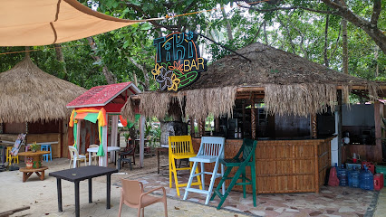
Tiki Bar
5.8 km
Experience the vibrant and tropical ambiance of Tiki Bar in Dapitan City, where refreshing cocktails and live music create unforgettable moments.
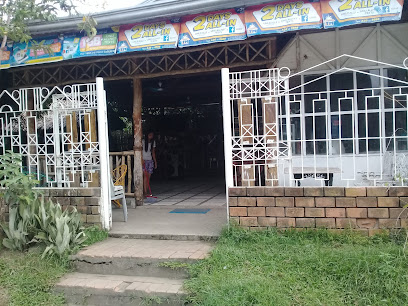
Mamords Food Ktv Bar
22.2 km
Discover the fun and flavors of Mamords Food Ktv Bar, a lively bar in Katipunan, where karaoke and local cuisine create unforgettable memories.
BUBURAN BEACH
40.2 km
Discover the serene beauty of Buburan Beach in Zamboanga del Norte, a perfect blend of relaxation and vibrant local culture.
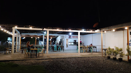
Hidden Valley Bar & Resto
53.9 km
Experience authentic Filipino cuisine amidst the stunning landscapes of Lazi at Hidden Valley Bar & Resto, your culinary haven in Siquijor.
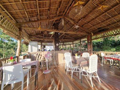
MYN Sunset View Bar & Grill
54.4 km
Experience exquisite dining and breathtaking sunset views at MYN Sunset View Bar & Grill in Siquijor, the perfect getaway for food and nature lovers.
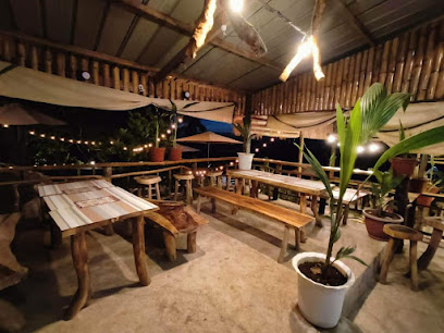
Republika Beach Bar
55.6 km
Discover the best grilled delights and stunning beach views at Republika Beach Bar in San Juan, Siquijor.
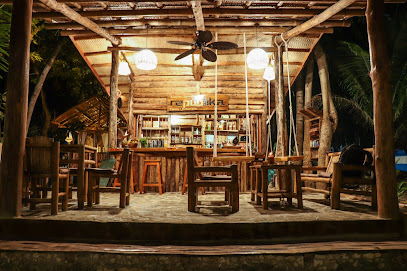
Get Wrecked Beach & Sports Bar
56.4 km
Experience the perfect blend of beachside relaxation and vibrant sports entertainment at Get Wrecked Beach & Sports Bar in Siquijor.
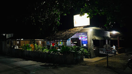
Lekwen
56.4 km
Experience the essence of Siquijor with expertly crafted cocktails in a tropical paradise at Lekwen, a must-visit cocktail bar in San Juan.
Lekwed Mobile bar
56.4 km
Experience the vibrant cocktail culture at Lekwed Mobile Bar in Siquijor, where innovative drinks meet a laid-back island vibe.
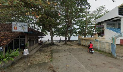
G-Spot Bistro
56.5 km
Discover the delightful flavors and vibrant atmosphere of G-Spot Bistro, a must-visit culinary destination in Siquijor.
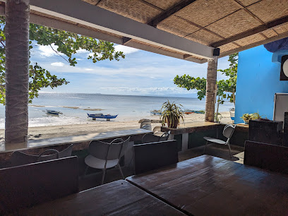
RumBar
57.0 km
Discover the charm of RumBar in San Juan, Siquijor, where tropical drinks and delicious cuisine meet stunning views and vibrant atmosphere.
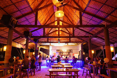
Jungle Cafe and Bar
57.1 km
Experience the tranquil vibes and delicious flavors at Jungle Cafe and Bar in Siquijor, a perfect getaway for tourists seeking relaxation.
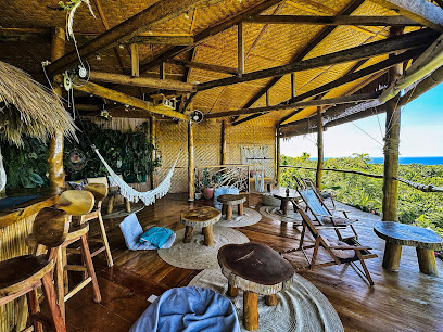
Don Juan Mobile Bar
57.1 km
Experience the vibrant nightlife at Don Juan Mobile Bar in Siquijor, where innovative cocktails meet breathtaking island views.
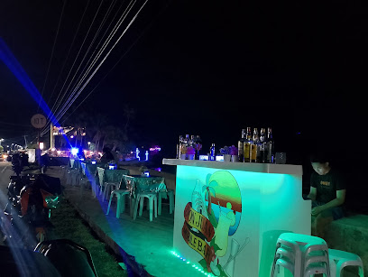
Mystropical Bar
57.2 km
Discover the vibrant flavors of Mystropical Bar in Siquijor, where exquisite cocktails and a stunning tropical ambiance await.
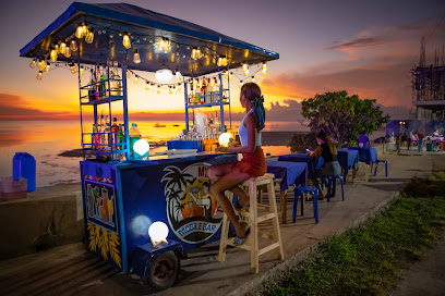
Tipsy Bar
57.3 km
Experience the vibrant nightlife and exquisite cocktails at Tipsy Bar, a must-visit destination in Siquijor, Philippines.
