Mill Pond Preserve
Discover Tranquility at Mill Pond Preserve

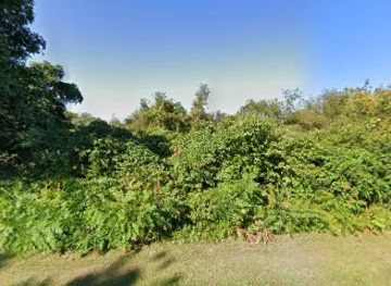
Discover the historical significance and natural beauty of Fort Ninigret, a captivating landmark in Rhode Island perfect for family outings and history enthusiasts.
Fort Ninigret offers a captivating glimpse into Rhode Island's rich history, blending scenic beauty with historical significance. This waterfront park features beautiful landscapes, historical structures, and interpretive trails that engage visitors and history enthusiasts alike.
Opening times, essentials, and a few local tips gathered into one calmer, easier-to-scan planning section.
Car
If you are traveling by car within Arcadia Management Area, head southeast on Arcadia Road towards Route 2. Turn right onto Route 2 South and follow it for approximately 4 miles. Take the exit toward Route 1 South and merge onto Route 1. Continue for about 9 miles until you reach the exit for Charlestown. Merge onto Route 1A and follow the signs for Charlestown. Turn left onto Fort Ninigret Road, and you will find Fort Ninigret at 73 Fort Ninigret Rd, Charlestown, RI 02813. Parking is available on-site.
Public Transportation
If you prefer to use public transportation, you can take the Rhode Island Public Transit Authority (RIPTA) bus service. Check the RIPTA website for the most current bus schedules. The closest bus stop is on Route 1, which can be accessed via local routes. Once you arrive at the Route 1 stop, you will need to walk approximately 1.5 miles south along Route 1 to Fort Ninigret Road. Please note that there may be limited bus service on weekends and holidays, so planning ahead is crucial.
Bicycle
For those who enjoy cycling, you can bike from various points in Arcadia Management Area. Use the local trails to navigate towards Route 2 and then connect to Route 1A. The ride is approximately 6 miles depending on your starting point, and you will have scenic views along the way. Make sure to wear a helmet and follow traffic laws while biking along the roads.
Use Tower Bridge as your starting point for nearby food, family ideas, nightlife, and more local discoveries.

Explore expert travel guides, compare and book tours, experiences, hotels, and more—all from the palm of your hand. Download now for seamless trip planning wherever your wanderlust takes you.
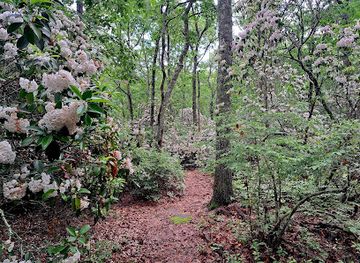
Discover the natural beauty and outdoor adventures at Rhode Island's largest recreational area, Arcadia Management Area, offering hiking, fishing, and wildlife viewing.
Tell me more about Arcadia Management Area