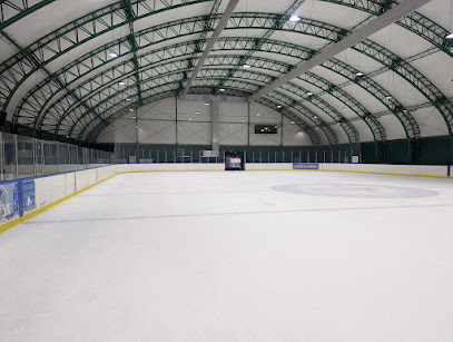
Exploring the Enchantment of the 3D Map of the Medieval Fortress
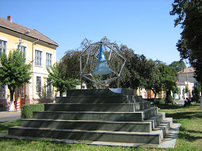
Discover the rich history of Târgu Mureș at the 3D map of the medieval fortress, an interactive attraction showcasing the city's architectural marvels.
The 3D map of the medieval fortress in Târgu Mureș is a captivating destination for tourists, showcasing the city's rich history and architectural heritage. This interactive attraction offers a unique glimpse into the past, making it a must-visit for history enthusiasts and curious travelers alike.
A brief summary to 3D map of medieval fortress
- Bulevardul Cetății, Târgu Mureș, RO
- +40365430021
- Visit website
Local tips
- Visit during weekdays for a quieter experience and better opportunities to explore.
- Bring a camera to capture the intricate details of the 3D map and surrounding fortress.
- Check for any guided tours or informational sessions that may enhance your understanding of the fortress.
- Combine your visit with a stroll through the nearby historical areas for a comprehensive look at Târgu Mureș.
Getting There
-
Car
If you are traveling by car, start from the center of Târgu Mureș. Head southeast on Strada Revoluției toward Bulevardul 1 Decembrie 1918. Continue straight onto Bulevardul Cetății. After approximately 1.5 kilometers, you will see the 3D map of the medieval fortress on your left side. There is limited parking available nearby, so look for parking signs along Bulevardul Cetății.
-
Public Transportation - Bus
To reach the 3D map of the medieval fortress by public transportation, find the nearest bus stop in Târgu Mureș. Take Bus Line 4, which heads towards 'Bulevardul Cetății'. The journey typically takes around 15 minutes. Disembark at the 'Bulevardul Cetății' stop. From there, walk approximately 200 meters towards the fortress, and you will find the 3D map situated along the boulevard.
-
Walking
If you are already in the vicinity of Bulevardul Cetății, you can simply walk to the 3D map of the medieval fortress. The map is located directly along Bulevardul Cetății. Look for the landmark 'Bulevardul Cetății', and you will find the map displayed prominently. It's a pleasant walk if you are near the city center, taking about 15-20 minutes depending on your starting point.
Discover more about 3D map of medieval fortress
Iconic landmarks you can’t miss
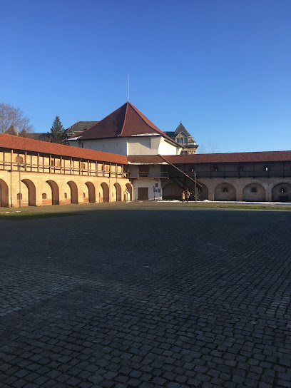
Bastion of the carpenters
0.1 km
Explore the Bastion of the Carpenters in Târgu Mureș, a captivating historical fortress showcasing medieval architecture and stunning views.
Gradina De Vara
0.7 km
Experience the vibrant flavors of Romanian cuisine at Gradina De Vara, a charming restaurant offering a delightful dining atmosphere in Târgu Mureș.
Visit Mureș
0.8 km
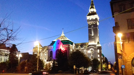
Explore Târgu Mureș with Visit Mureș, your go-to tourist information center for local insights and essential travel tips in Romania.
Târgu Mureș City Hall
0.9 km
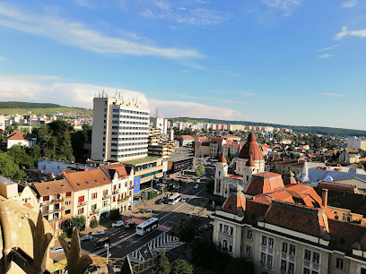
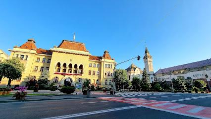
Explore the stunning neo-Renaissance architecture of Târgu Mureș City Hall, a historical landmark in the heart of Romania's vibrant culture.
Muncitorul
3.7 km
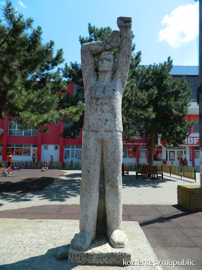
Discover the inspiring Muncitorul sculpture in Târgu Mureș, a tribute to the hardworking spirit of the local community and an iconic symbol of the region.
InfoSighisoara.ro
40.0 km
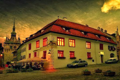
Explore Sighișoara's rich history and vibrant culture at the InfoSighisoara Tourist Information Center—your essential guide to this medieval gem.
Scările bisericii Romano-Catolice
40.2 km
Explore the Scările Bisericii Romano-Catolice in Sighișoara, a stunning promenade steeped in history, offering breathtaking views and architectural beauty.
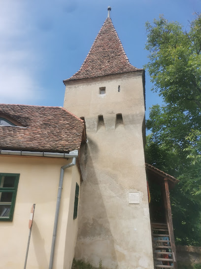
Csizmadia-torony
40.2 km
Uncover the historical beauty of Csizmadia-torony, a monumental tower in Sighișoara that reflects the town's rich medieval past.
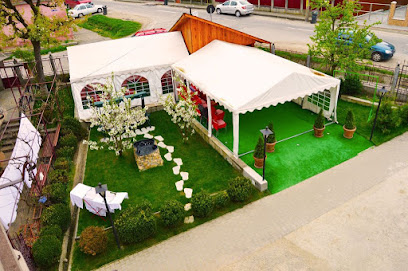
Venesis Houe Pension
40.2 km
Discover the charm of Sighișoara with a stay at Venesis House Pension, where comfort meets local culture in a beautifully restored setting.
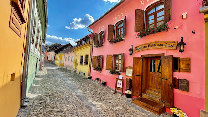
Boutique Hotel von Graf Sighișoara
40.2 km
Discover the charm of Sighișoara while enjoying the comforts of Boutique Hotel von Graf, your perfect retreat in the heart of Transylvania.
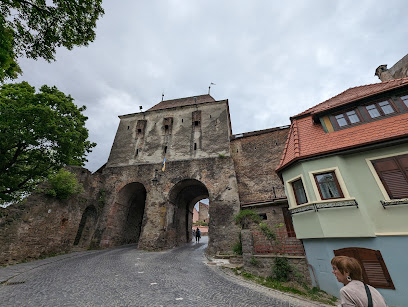
Tailors' Tower
40.3 km
Discover the enchanting Tailors' Tower in Sighișoara, a historical treasure that offers stunning views and a glimpse into medieval craftsmanship.
Casa Legenda
40.3 km
Discover comfort and local charm at Casa Legenda, an enchanting indoor lodging in the heart of Sighișoara, perfect for all travelers.
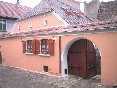
Casa Wagner
40.3 km
Discover the historic charm of Casa Wagner, a unique hotel and restaurant in the heart of Sighișoara, Romania, where tradition meets comfort.

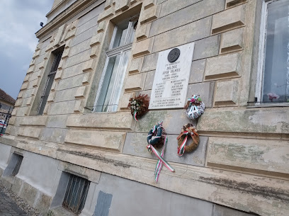
Boldog Apor Vilmos Memorial
40.3 km
Discover the Boldog Apor Vilmos Memorial, a historical landmark in Sighișoara that embodies the rich culture and heritage of Romania.
Savri House
40.3 km
Experience the charm of Sighișoara at Savri House, a cozy hotel blending comfort with local culture in a UNESCO World Heritage site.

Unmissable attractions to see
Bust of Judge Borsos Tamás
0.1 km
Explore the Bust of Judge Borsos Tamás in Târgu Mureș, a cultural landmark that embodies local heritage and history in Romania.
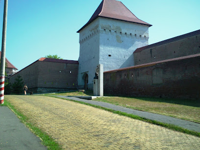
Biblioteca 3g
0.1 km
Explore Biblioteca 3g in Târgu Mureș, where literature meets stunning architecture in a serene cultural hub.
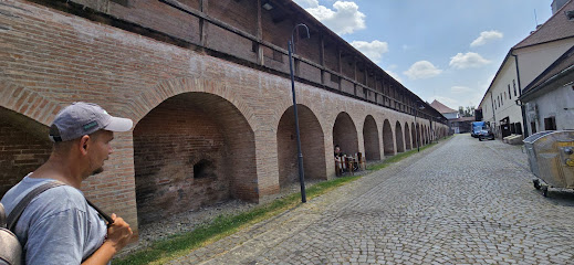
Fortress Church
0.1 km
Explore the elegant Fortress Church in Târgu Mureș, a stunning Gothic architectural wonder and cultural landmark rich in history.
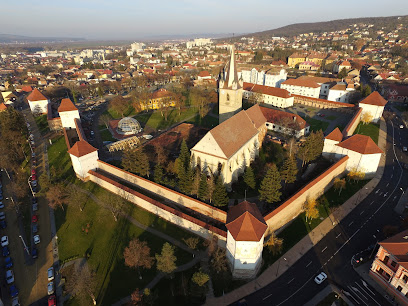
Medieval Fortress Târgu Mureș
0.1 km
Discover the enchanting Medieval Fortress Târgu Mureș, a historical landmark showcasing Romania's rich heritage and stunning architectural beauty.
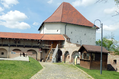
The Rákóczi Stairs
0.2 km
Discover the historical Rákóczi Stairs in Târgu Mureș, a vibrant cultural landmark showcasing the charm and heritage of Transylvania.
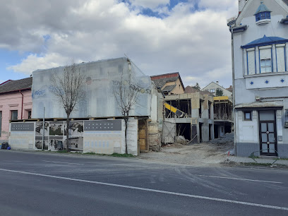
Teleki-Köpeczi House
0.3 km
Explore the architectural beauty and rich history of Teleki-Köpeczi House, a must-visit attraction in Târgu Mureș, Romania.
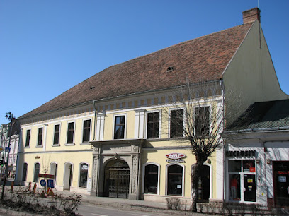
Ascension Cathedral
0.3 km
Explore the Ascension Cathedral, an architectural masterpiece in Târgu Mureș showcasing stunning frescoes and deep-rooted cultural heritage.
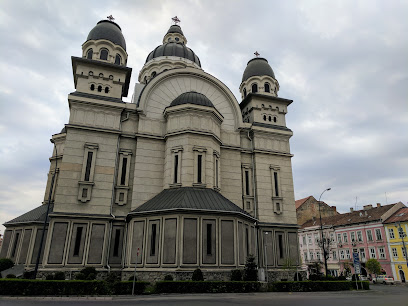
Casa cu Arcade din Târgu Mureș
0.3 km
Explore the architectural beauty and rich history of Casa cu Arcade in Târgu Mureș, a must-see destination for every traveler.
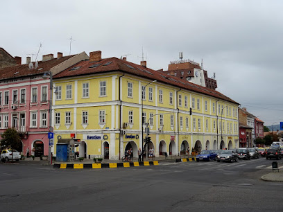
Mureș County Museum (Administration)
0.5 km
Explore the fascinating history and cultural treasures of Mureș County at the Mureș County Museum in Târgu Mureș, Romania.
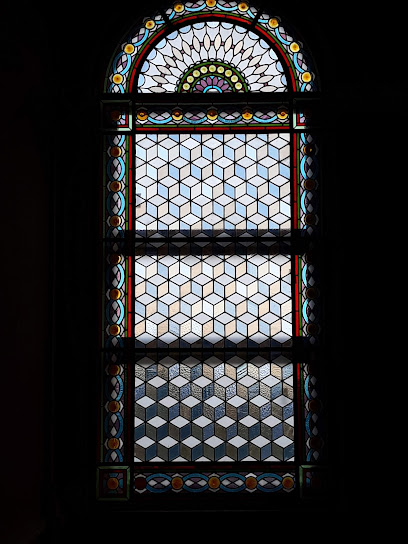
Muzeul de Etnografie și Artă Populară
0.5 km
Immerse yourself in the vibrant traditions and artistic expressions of Romania at the Muzeul de Etnografie și Artă Populară in Târgu Mureș.
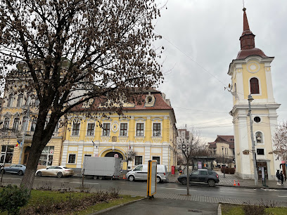
Târgu Mureș National Theatre
0.5 km
Discover the vibrant performing arts scene at Târgu Mureș National Theatre, a cultural landmark showcasing diverse performances in Romania.
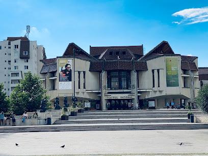
Teleki-Bolyai Library
0.5 km
Discover the historical Teleki-Bolyai Library, a cultural gem in Târgu Mureș, showcasing a vast collection of literature and architectural beauty.
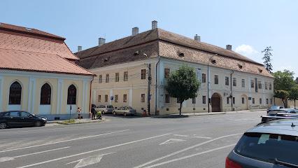
The Flower Clock
0.5 km
Discover the stunning Flower Clock in Târgu Mureș, a vibrant symbol of artistry and beauty in the heart of Romania.
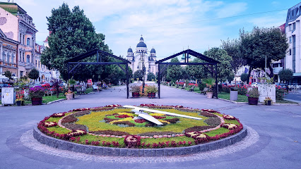
Piața Trandafirilor
0.5 km
Explore the enchanting Piața Trandafirilor in Târgu Mureș, a vibrant square filled with history, culture, and local flavors in Romania.
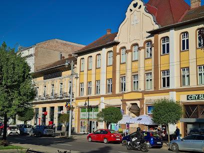
Pseudosphaera
0.6 km
Explore Pseudosphaera, a hidden gem in Târgu Mureș, where nature and history blend seamlessly for an unforgettable tourist experience.
Essential places to dine
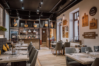
Petry Grill and Wine Bistro
0.2 km
Experience the best of Romanian cuisine paired with exquisite wines at Petry Grill and Wine Bistro in Târgu Mureș.
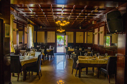
La Teo Restaurant - comfort food & good vibes
0.2 km
Experience delectable comfort food and vibrant atmosphere at La Teo Restaurant in Târgu Mureș - where every meal feels like home.
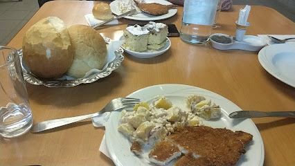
Cantina - Restaurant La Efendi Targu Mures - Restaurante Targu Mures
0.2 km
Discover culinary delights and vibrant live music at Cantina - Restaurant La Efendi in Târgu Mureș, perfect for food lovers seeking great value.
Taverna Diavolului
0.4 km
Experience authentic Romanian cuisine in Târgu Mureș at Taverna Diavolului - where tradition meets taste.
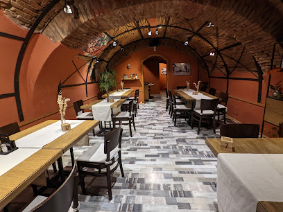
Smokes
0.4 km
Experience exquisite dining at Smokes in Târgu Mureș - where culinary artistry meets local flavors.
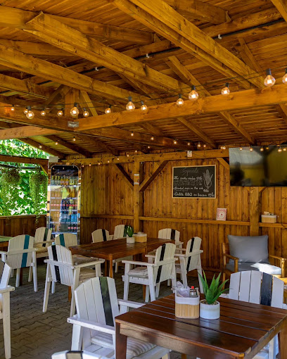
Country Bread Bistro
0.4 km
Discover culinary delights at Country Bread Bistro in Târgu Mureș - where local flavors meet modern cuisine.
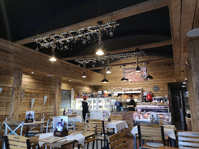
Bistro Theatre
0.4 km
Experience exquisite dining at Bistro Theatre in Târgu Mureș - where culinary delights meet vibrant cultural performances.
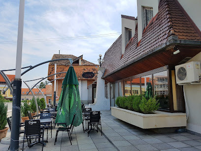
Green Kitchen
0.5 km
Discover delicious health food at Green Kitchen in Târgu Mureș - where flavor meets nutrition in every bite!
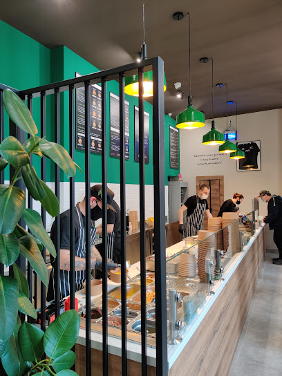
Maza
0.5 km
Experience authentic Lebanese cuisine at Maza in Târgu Mureș – where every dish tells a story of flavor and tradition.

New Chicago Restaurant
0.5 km
Experience the perfect blend of traditional Romanian flavors and modern cuisine at New Chicago Restaurant in Târgu Mureș.
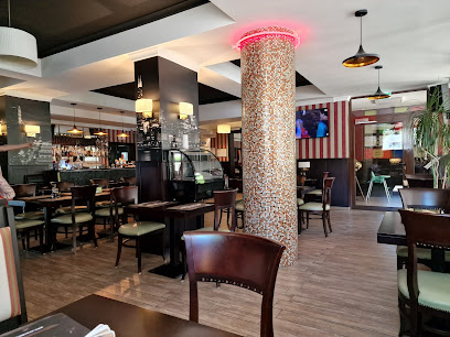
J'ai Bistrot Târgu Mureș
0.5 km
Experience culinary excellence at J'ai Bistrot Târgu Mureș – where local flavors meet modern cuisine in an inviting atmosphere.
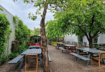
Trattoria Toscana
0.6 km
Discover Trattoria Toscana in Târgu Mureș for authentic Italian cuisine amidst charming ambiance.
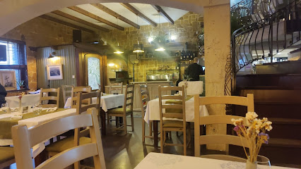
Laci Csárda
0.8 km
Savor authentic Romanian cuisine at Laci Csárda in Târgu Mureș, where tradition meets flavor in every dish.
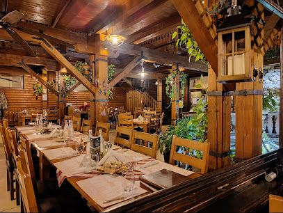
Golden Rooster
1.0 km
Discover Golden Rooster in Târgu Mureș - where Italian meets Japanese cuisine in a cozy atmosphere.
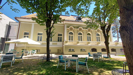
Căsuța Bunicii
1.0 km
Experience authentic Romanian cuisine at Căsuța Bunicii in Târgu Mureș—a delightful journey into tradition and taste.
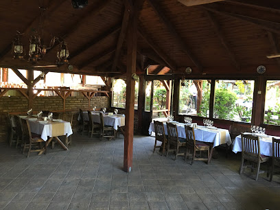
Markets, malls and hidden boutiques
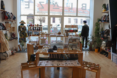
Blaze Design Store
0.2 km
Explore Blaze Design Store in Târgu Mureș for unique gifts, stylish clothing, and handcrafted treasures that celebrate local artistry.
White Horse Liquor Store
0.4 km
Explore the finest selection of wines, liquors, and chocolates at White Horse Liquor Store in Târgu Mureș for an unforgettable shopping experience.

Stopbutik Outlet
0.4 km
Explore the best women's clothing at Stopbutik Outlet in Târgu Mureș, where fashion meets affordability and style is within reach.
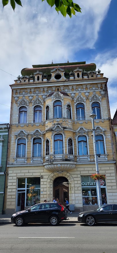
Mr.Gift
0.5 km
Explore Mr.Gift in Târgu Mureș for a unique selection of custom gifts, personalized souvenirs, and creative treasures that capture your travel memories.

Sabion - Trandafirilor Targu-Mures
0.6 km
Explore the artistic charm of Sabion in Târgu Mureș, where handmade jewelry meets exquisite craftsmanship.

𝐏𝐄𝐎𝐍𝐘- 𝒻𝓁𝑜𝓌𝑒𝓇𝓎 𝒷𝑜𝓊𝓉𝒾𝓆𝓊𝑒
1.0 km
Discover Peony in Târgu Mureș - A florist offering exquisite arrangements and a touch of local charm in every bloom.
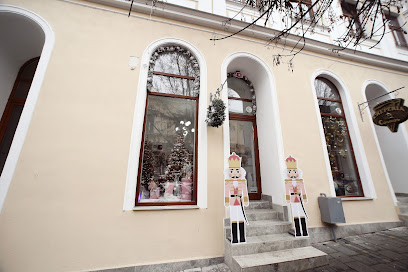
Scopus
1.0 km
Discover Scopus in Tg Mures, Romania - Your go-to outdoor sports store for all adventure needs.

Mureș Mall
1.1 km
Discover a diverse selection of shops and dining at Mureș Mall, a premier shopping destination in Târgu Mureș, Romania.
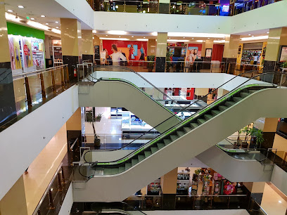
Magazin Imbracaminte Second Hand - Textile House Romania
1.4 km
Explore sustainable fashion treasures at Textile House Romania, where unique second-hand clothing awaits in Târgu Mureș.

Symbols Gift Shop
1.5 km
Explore a unique collection of women's clothing and accessories at Symbols Gift Shop in Târgu Mureș, where local charm meets contemporary fashion.

Magazinul Barney'S Store
1.7 km
Explore stylish apparel and unique fashion finds at Magazinul Barney'S Store in Târgu Mureș, Romania's vibrant shopping destination.
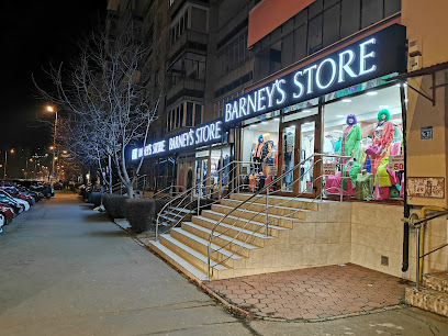
Baloane cu heliu Mureș; Arcade baloane Târgu Mureș
2.1 km
Explore Târgu Mureș's premier destination for helium balloons and custom t-shirts; perfect for any celebration or event.
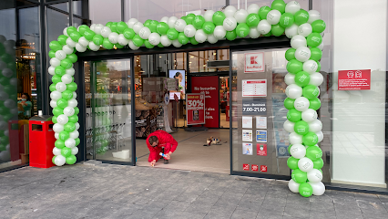
Mega Discount Store
2.3 km
Explore Mega Discount Store in Târgu Mureș for unbeatable prices and a wide variety of local and international products.
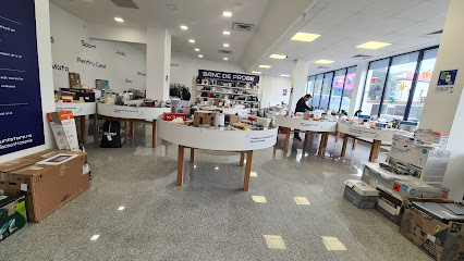
Shopping City Târgu Mureș
2.9 km
Experience the vibrant shopping culture and diverse dining options at Shopping City Târgu Mureș, the top destination for retail and leisure.

NEW YORKER
2.9 km
Explore New Yorker in Târgu Mureș for trendy clothing and fashion accessories perfect for all ages and styles.

Essential bars & hidden hideouts
Döme's Music Pub & More
0.2 km
Discover the lively ambiance of Döme's Music Pub & More in Târgu Mureș, where music, drinks, and local culture come together.
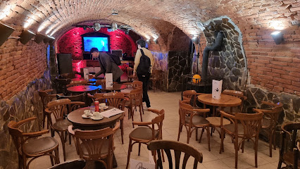
Le Club
0.3 km
Experience the vibrant nightlife at Le Club in Târgu Mureș, where great drinks and a welcoming atmosphere await every visitor.
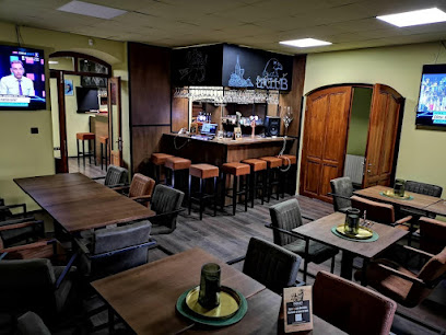
Unique Cocktails
0.4 km
Discover Unique Cocktails in Târgu Mureș, where creativity meets mixology in a vibrant atmosphere perfect for social gatherings.

The BackStage
0.4 km
Experience the vibrant nightlife of Târgu Mureș at The BackStage, where local flavors meet lively entertainment in a cozy pub setting.
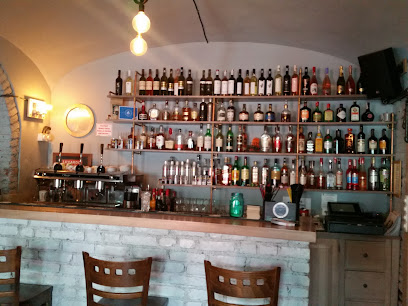
Luar Yard
0.5 km
Experience the vibrant atmosphere and diverse drink selection at Luar Yard, the ultimate bar destination in the heart of Târgu Mureș.

BAR VENUS
0.5 km
Experience the local charm and vibrant nightlife at Bar Venus in Târgu Mureș, where great drinks meet spirited conversations.
The Office - Clubul Presei
0.5 km
Discover the lively atmosphere and local flavors at The Office - Clubul Presei, a premier pub in Târgu Mureș, perfect for a night out.
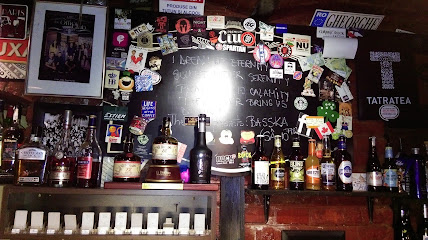
Roby Bar
0.6 km
Discover the charm of Roby Bar in Târgu Mureș, where locals and tourists enjoy a delightful selection of drinks in a cozy atmosphere.
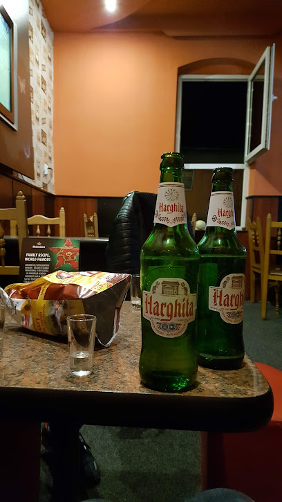
The Corner Pub
0.8 km
Experience Târgu Mureș's vibrant nightlife and local flavors at The Corner Pub, the perfect spot for tourists to unwind and socialize.
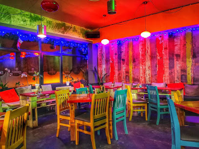
Bar
0.9 km
Experience the vibrant Târgu Mureș nightlife at the local bar, where culture and camaraderie meet over drinks in a lively atmosphere.
Cafe Royal
1.0 km
Discover the charm of Café Royal in Târgu Mureș, where delightful drinks and a cozy atmosphere create the perfect getaway for travelers.
Restaurant Destino
1.1 km
Savor the flavors of Târgu Mureș at Restaurant Destino, where delicious meals meet a vibrant atmosphere, perfect for coffee lovers and hookah enthusiasts.

La Remus
1.3 km
Discover La Remus in Târgu Mureș, where local charm meets a vibrant atmosphere for an unforgettable bar experience.
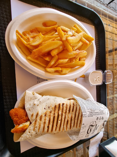
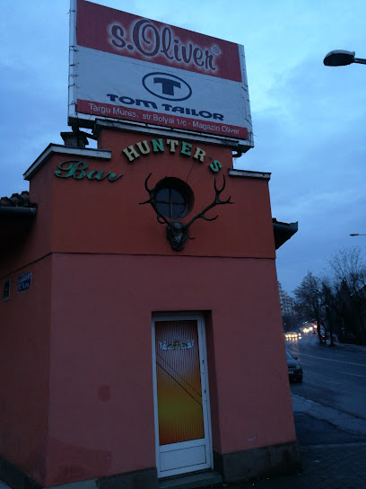
Bar Hunter's
1.3 km
Experience the vibrant nightlife of Târgu Mureș at Bar Hunter's, where delightful drinks and a warm atmosphere await every visitor.
Lord Cocktail
1.3 km
Experience the art of cocktail making at Lord Cocktail, Sângeorgiu de Mureș's top destination for vibrant drinks and lively ambiance.

Nightclubs & after hour spots
Zambara Bistro & Lounge
0.6 km
Zambara Bistro & Lounge: A vibrant nightlife haven in Târgu Mureș, blending exceptional cuisine with high-energy entertainment.

Cuba Ground
0.8 km
Discover the ultimate disco experience at Cuba Ground in Târgu Mureș, where the nightlife is electric and the music never stops.

The Bunker
0.9 km
Experience the electrifying nightlife of Târgu Mureș at The Bunker, where music, dance, and an unforgettable atmosphere await you.
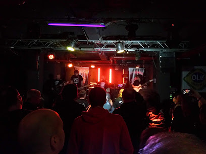
Jazz&Blues Club
0.9 km
Discover Târgu Mureș's vibrant Jazz & Blues Club, where soulful music and a lively atmosphere unite for unforgettable nights.
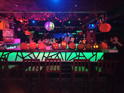
Opus Club
1.1 km
Dive into the pulsating nightlife at Opus Club in Târgu Mureș, where exceptional music and vibrant energy create unforgettable experiences.
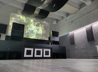
XXL Club
1.4 km
Discover Târgu Mureș's vibrant nightlife at XXL Club, the premier adult entertainment venue for thrilling performances and unforgettable experiences.
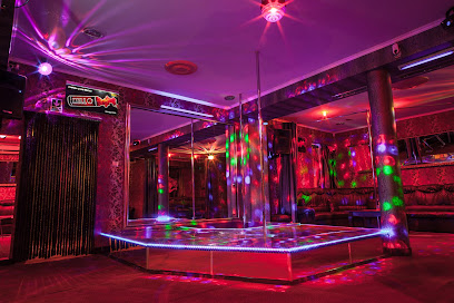
Club Mirage
1.9 km
Discover Târgu Mureș's nightlife at Club Mirage, a vibrant bar offering an extensive drinks menu and an unforgettable atmosphere.
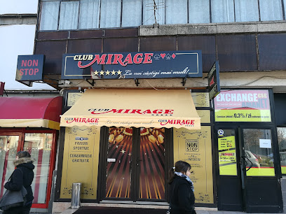
M Club
30.4 km
Discover the electrifying nightlife at M Club, Chibed's premier disco club, where vibrant music and an energetic atmosphere await.
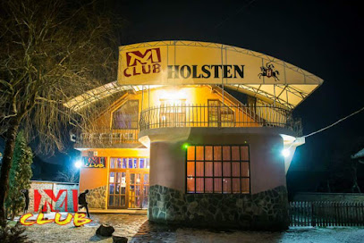
Ferma de Agrement Amenus
38.9 km
Experience the vibrant nightlife and rustic charm of Ferma de Agrement Amenus in Sovata, where fun and adventure await every visitor.
Club Fiesta
40.3 km
Experience the vibrant nightlife of Sighișoara at Club Fiesta, where music and dance create unforgettable memories.
Epic Club Sighișoara
40.4 km
Discover the vibrant nightlife of Sighișoara at Epic Club, where unforgettable parties and electrifying music come together in a unique atmosphere.

Adela Maria
40.4 km
Discover the heart of Sighișoara's nightlife at Adela Maria, where music, dance, and history come together for an unforgettable experience.
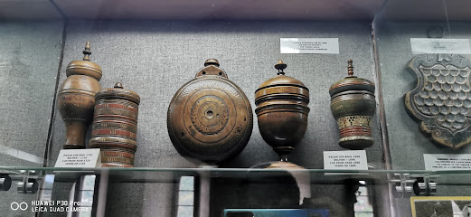
Korondi Művelődési Hàz
47.9 km
Discover the vibrant nightlife of Corund at Korondi Művelődési Hàz, where music, dance, and unforgettable experiences await every visitor.
Illusion CocktailClub
48.4 km
Unleash your inner party animal at Illusion CocktailClub, Feisa's ultimate disco experience with stunning cocktails and vibrant beats.

Városi Korcsolyapálya
61.6 km
Városi Korcsolyapálya offers a unique nighttime ice skating experience, blending music, fun, and winter sports in Odorheiu Secuiesc.
