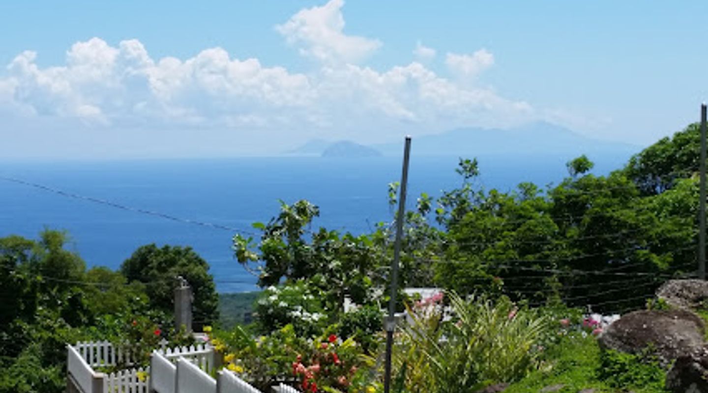
Mt Nevis Summit Trailhead, Gingerland Travel Guide
Explore the breathtaking Mt Nevis Summit Trailhead, a premier hiking destination offering stunning views and rich natural experiences in St. Kitts and Nevis.
Discover the breathtaking beauty of Mt Nevis Summit Trailhead, a premier hiking area that offers stunning views and a rich natural experience. Perfect for adventure seekers and nature lovers alike, this location invites tourists to explore its lush surroundings and experience the thrill of hiking to one of the island's highest peaks.
A brief summary to Mt Nevis Summit Trailhead
- 4CRF+VF9, Fountain, KN

Know before you go
Hi, I'm Eve. Here are a few practical things to know before exploring Mt Nevis Summit Trailhead.
- Wear sturdy hiking shoes for better grip on the rocky terrain.
- Start your hike early in the morning to avoid the afternoon heat.
- Bring plenty of water and snacks to keep your energy up during the hike.
- Consider hiring a local guide to enhance your experience with insights on the area.
- Check the weather forecast before your hike to ensure safe conditions.
Do you manage this location?
Take control to get all the benefits, like improved information, better appearance, and stronger visibility across AI-powered discovery. Learn more about listing your business on Evendo
Activate your presenceOther nearby places you may find interesting
The closest places of the same kind, if this one is not quite what you had in mind.

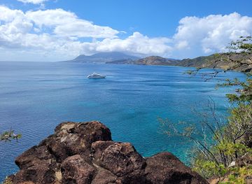
Explore Mt Nevis Summit Trailhead on the Map
A handpicked selection of must-see spots near Mt Nevis Summit Trailhead, mapped for you.
Getting There
-
Walking
From the center of Gingerland, head south on Main Street towards the Nevis Botanical Garden. Continue walking until you reach the junction at the bottom of the hill. Take a left onto the road that leads to the Botanical Garden. Follow this road, which will eventually curve westwards. Keep an eye out for signs indicating the way to Mt Nevis Summit Trailhead as you approach Fountain. As you reach Fountain, you will see the trailhead entrance on your right at the coordinates 17.1421693, -62.5762689. It is approximately a 45-minute walk from Gingerland.
-
Hiking
If you're feeling adventurous and want to hike from Gingerland to the Mt Nevis Summit Trailhead, start at the main road in Gingerland and head towards the village of Fountain. You can take the footpaths that lead directly up the hillside, making sure to stay on the marked trails. This route is more challenging and may take about 1.5 to 2 hours to reach the trailhead, but you will be rewarded with stunning views along the way.
-
Public Transport
While there may not be direct public transport options to the Mt Nevis Summit Trailhead, you can take a local bus from Gingerland to the nearest village of Fountain. Buses run regularly throughout the day. Once you arrive in Fountain, follow the walking directions provided above to reach the trailhead, which is a short walk from the bus stop.
Discover more about Mt Nevis Summit Trailhead
More to explore near Mt Nevis Summit Trailhead













Your all‑in‑one travel companion app
Explore expert travel guides, compare and book tours, experiences, hotels, and more—all from the palm of your hand. Download now for seamless trip planning wherever your wanderlust takes you.


Explore More of Gingerland
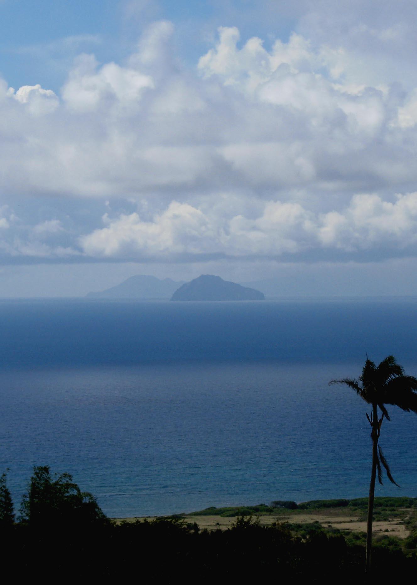
Looking beyond Mt Nevis Summit Trailhead? Discover Gingerland for broader travel guides, local hot-spots, and regional highlights.
Explore Gingerland
Discover the breathtaking views and thrilling hikes at Saddle Hill, St. Kitts & Nevis, a must-visit destination for adventure seekers.
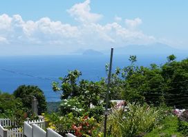
Explore the breathtaking Mt Nevis Summit Trailhead for an unforgettable hiking adventure in St. Kitts and Nevis, where nature and adventure await.