Explore the Rich History of Mining at the Návštevný Chodník in Dobšiná
Discover the historical significance of mining in Dobšiná along the captivating Návštevný Chodník, a perfect blend of culture and nature.
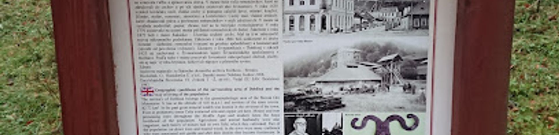
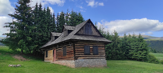
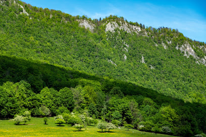
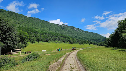
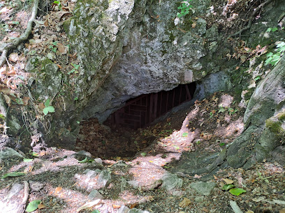
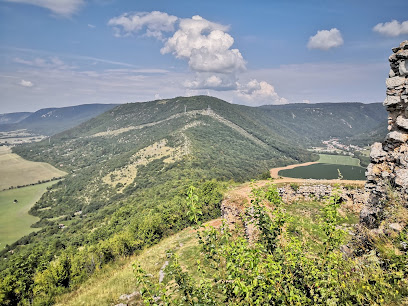
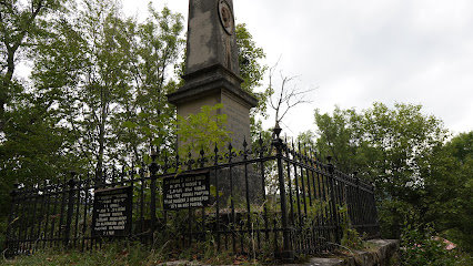
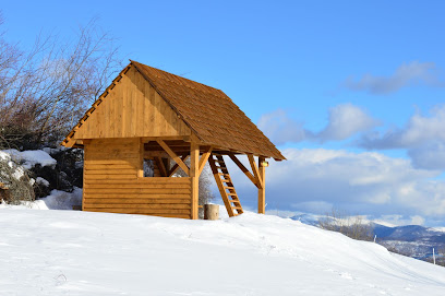
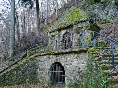
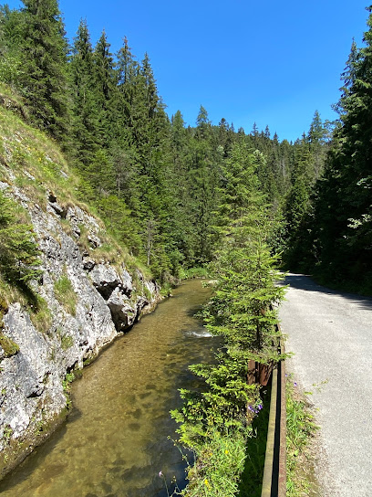
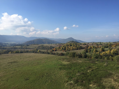
The Návštevný Chodník po Stopách Baníctva in Dobšiná is a captivating journey through the historical significance of mining in the region. This educational trail offers visitors a unique glimpse into the heritage of the local mining industry, showcasing both natural beauty and cultural richness.
A brief summary to Náučný chodník po stopách baníctva v Dobšinej
- Námestie baníkov, Dobšiná, 049 25, SK
- Visit website
Local tips
- Wear comfortable walking shoes as the trail involves some uneven terrain.
- Bring a camera to capture the stunning views and historical sites along the trail.
- Check the weather forecast before your visit to ensure a pleasant hiking experience.
- Visit early in the morning to enjoy a quieter experience and avoid crowds.
Getting There
-
Car
If you are traveling by car, head towards Dobšiná from your location in the Slovak Ore Mountains. Use the GPS coordinates 48.820037, 20.366628 to find Náučný chodník po stopách baníctva v Dobšinej. Upon entering Dobšiná, follow the signs to Námestie baníkov, which is the main square in the town. There is parking available in the vicinity of the square, but be mindful of parking regulations.
-
Public Transportation
To reach Náučný chodník po stopách baníctva v Dobšinej using public transportation, take a train or bus to the nearest station in Dobšiná. If you're coming from a larger town like Košice or Prešov, check the local train or bus schedules in advance. Once you arrive at the Dobšiná bus or train station, you can either walk to Námestie baníkov (approximately 15-20 minutes on foot) or take a local taxi. The address is Námestie baníkov, 049 25 Dobšiná.
-
Taxi
If you prefer a more direct route, consider taking a taxi from your current location within the Slovak Ore Mountains to Námestie baníkov in Dobšiná. Make sure to confirm the fare before starting your journey, as prices may vary based on distance.
Discover more about Náučný chodník po stopách baníctva v Dobšinej
Iconic landmarks you can’t miss
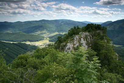
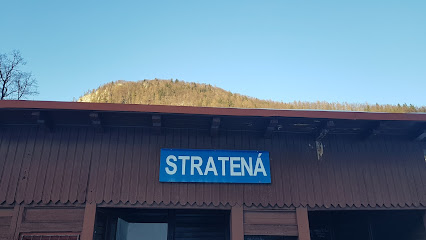
Stratenská dolina
6.6 km
Explore the breathtaking beauty of Stratenská Dolina, a stunning ravine in Slovakia, perfect for nature lovers and adventure seekers alike.

Slovak Paradise
9.9 km
Explore the breathtaking beauty of Slovak Paradise, a mountain range offering adventure, stunning landscapes, and rich biodiversity for every nature lover.
Kláštorisko
14.3 km
Explore Kláštorisko, a breathtaking hiking area in Slovakia's Slovak Paradise National Park, where nature's beauty meets rich history.
Šingliarova priepasť
18.6 km
Explore the captivating Šingliarova Priepasť cave in Honce, Slovakia, where stunning limestone formations and rich folklore await every visitor.
Šumiacka dolina
18.7 km
Explore the breathtaking beauty of Šumiacka Dolina, a serene ravine in Slovakia perfect for hiking, picnics, and nature appreciation.
Rekreačný areál Predná hora
20.1 km
Experience relaxation and local flavors at Rekreačný areál Predná hora, a wellness center and restaurant nestled in Slovakia’s stunning landscapes.
Zámčisko
22.0 km
Discover Zámčisko, the ultimate observation deck in Poprad for breathtaking views of the Tatra Mountains and serene nature experiences.
Veľká Lúka
22.2 km
Discover the breathtaking beauty of Veľká Lúka, a serene nature preserve in Slovakia, perfect for hiking, birdwatching, and immersing in natural tranquility.
Sysľovisko.sk
22.7 km
Explore Sysľovisko, the ultimate amusement park and zoo in Murán, Slovakia, where adventure meets nature for an unforgettable experience.
Muranska planina syslia lúka
22.8 km
Explore the breathtaking landscapes and rich biodiversity of Muranska Planina, Slovakia's hidden gem for nature lovers and adventure seekers.
Parkovisko - Sysľovisko Muránska planina
22.9 km
Discover the beauty of Slovakia’s Muránska Planina at Parkovisko - Sysľovisko, your convenient starting point for outdoor adventures.
Wesselényiho jaskyňa
23.0 km
Explore the stunning Wesselényiho Jaskyňa in Slovakia, a mesmerizing limestone cave filled with remarkable geological wonders.
Slovak Karst
23.1 km
Explore the breathtaking landscapes and captivating caves of Slovak Karst National Park, a UNESCO Biosphere Reserve in Slovakia.
Správa Národného parku Muránska planina so sídlom v Revúcej
23.3 km
Experience the breathtaking landscapes and rich biodiversity of Muránska Planina National Park in Slovakia, an outdoor paradise for every nature enthusiast.
Chata Zámok pod Muránskym hradom
23.3 km
Experience the serene beauty of Chata Zámok pod Muránskym hradom in Slovakia, a perfect mountain retreat for nature lovers and adventure seekers.
Unmissable attractions to see
Dobšinský kopec výhliadka
3.1 km
Experience the serene beauty of Dobšinský Kopec, a scenic viewpoint in Slovakia offering panoramic views and hiking trails for nature enthusiasts.
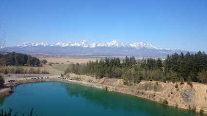
Dedinky lake panorama
3.7 km
Experience the breathtaking beauty of Dedinky Lake Panorama, a must-visit natural attraction in Slovakia perfect for outdoor adventures and stunning photography.
Útulňa Rejdová
5.7 km
Experience the serenity and natural beauty of Útulňa Rejdová, a hidden gem in Slovakia perfect for nature lovers and adventure seekers.
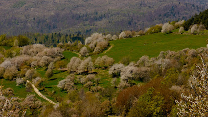
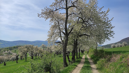
Čerešnové sady Brdárka
5.9 km
Discover the serene beauty of Čerešnové sady, Brdárka - a tranquil park perfect for relaxation and nature walks in Slovakia.
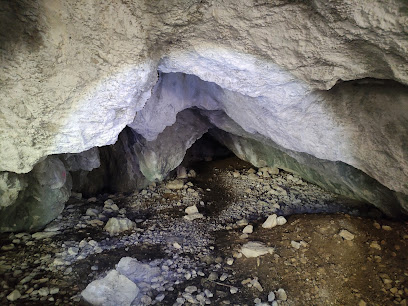
Zelená jaskyňa
6.0 km
Experience the breathtaking beauty of Zelená jaskyňa, a stunning natural cave in Slovakia known for its vibrant green colors and unique geological features.
Brdárske čerešňové sady
6.1 km
Explore the tranquil beauty of Brdárske Čerešňové Sady, a picturesque cherry orchard in Brdárka, perfect for peaceful strolls and family picnics.
Ľadovňa vo Vlachove
6.2 km
Experience the rich heritage of Slovakia at Ľadovňa vo Vlachove, a hidden museum showcasing local culture and artistry in a serene setting.
Kaštieľ Andrášiovcov
6.3 km
Explore Kaštieľ Andrášikovcov in Vlachovo, a captivating museum showcasing Slovakia's rich cultural history and stunning architecture.
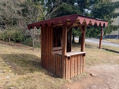
Zážitkový chodník Rejdová
6.4 km
Discover the serene beauty of Zážitkový chodník Rejdová, a picturesque trail in Slovakia perfect for nature lovers and adventurers alike.
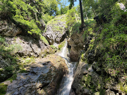
Nálepkove vodopády
6.5 km
Experience the breathtaking beauty of Nálepkove Waterfalls in Smižany, Slovakia, a perfect escape for nature lovers and adventure seekers alike.
Náučný chodník Stratenský kaňon
6.5 km
Discover the breathtaking beauty of Stratenský Canyon, a stunning natural attraction in Slovakia, perfect for hiking and nature exploration.
Náučný chodník Rejdová
6.9 km
Explore the scenic beauty and cultural richness of Slovakia at Náš učný chodník Rejdová, an unforgettable educational trail experience.
Turzov vodopád
7.0 km
Explore the serene beauty of Turzov Vodopád, a breathtaking waterfall in Slovakia, perfect for nature lovers and outdoor adventurers.
Dobšinská Ice Cave
7.0 km
Discover the breathtaking beauty of Dobšinská Ice Cave, a UNESCO World Heritage site showcasing stunning ice formations and natural wonders.
Tarzania
7.4 km
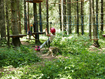
Discover thrilling adventures at Tarzania, the ultimate outdoor attraction in Stratená, Slovakia, perfect for adventure seekers and families alike.
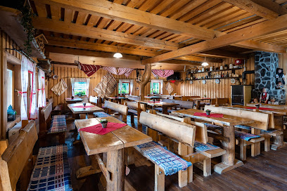
Essential places to dine
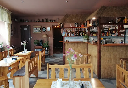
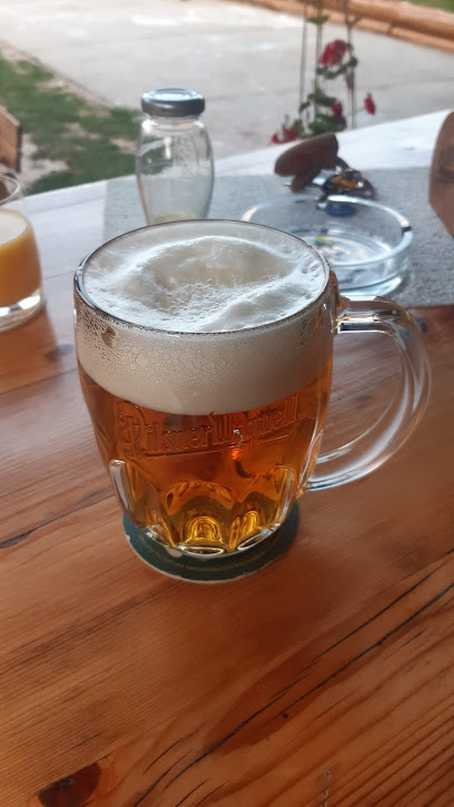
Reštaurácia Pelle
5.0 km
Experience authentic Slovakian flavors at Reštaurácia Pelle in Dedinky, where traditional cuisine meets warm hospitality amidst stunning scenery.
Penzión Reštaurácia Pastierňa
5.5 km
Experience authentic Slovak cuisine at Penzión Reštaurácia Pastierňa, where local flavors meet stunning natural beauty.
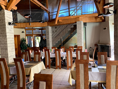
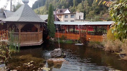
Ranch under Ostrá Skala
8.7 km
Discover the rustic charm and authentic flavors at Ranch under Ostrá Skala – where traditional Slovak cuisine meets vibrant ranch life.
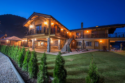
Koliba pod Kráľovou hoľou Telgárt
12.4 km
Experience authentic Slovak cuisine at Koliba pod Kráľovou hoľou in Telgárt - where tradition meets stunning mountain views.
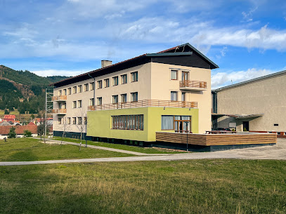
Hotel Telgárt
13.4 km
Experience rustic charm and modern comfort at Hotel Telgárt - your gateway to Slovakia's breathtaking landscapes.
HOREHRONSKÁ KÚRIA - REKREAČNÝ DOM - PIZZA - REŠTAURÁCIA
13.6 km
Discover Horehronská Kúria: An enchanting restaurant in Telgárt serving exquisite pizza and traditional Slovak cuisine amidst breathtaking scenery.
Chata Piecky - Slovenský raj
14.0 km
Discover comfort and nature at Chata Piecky in Slovenský raj – your gateway to unforgettable adventures in Slovakia's breathtaking landscapes.
Chata Kláštorisko
14.2 km
Experience authentic Slovak cuisine at Chata Kláštorisko, where nature meets culinary delight in Letanovce's serene landscapes.
Ranč Podlesok
16.0 km
Discover authentic Slovak cuisine amidst breathtaking landscapes at Ranč Podlesok - your perfect dining destination.
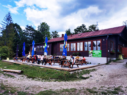
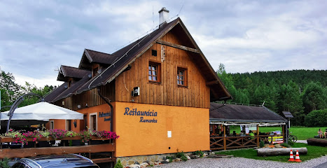
Reštaurácia Rumanka
16.0 km
Discover authentic Slovak cuisine at Reštaurácia Rumanka in Hrabušice - where tradition meets flavor in every dish.
Kilderkin Podlesok
16.1 km
Discover Kilderkin Podlesok, a hidden stand bar gem in Hrabušice offering refreshing drinks and a cozy atmosphere amidst stunning nature.
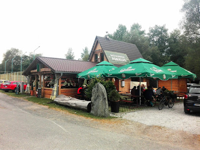
Reštaurácia PONIKLEC
16.1 km
Discover authentic Slovak cuisine at Reštaurácia PONIKLEC amidst breathtaking natural beauty and warm hospitality.
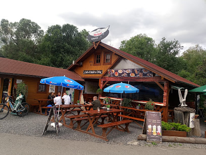
Cafe & Bufet u Orla
16.2 km
Experience authentic Slovak cuisine at Café & Bufet u Orla in Hrabušice – where hearty flavors meet warm hospitality.
Salaš Čingov
16.6 km
Experience authentic Slovak flavors at Salaš Čingov - where tradition meets taste in Spišské Tomášovce.
Reštaurácia U Hudáka
17.3 km
Experience authentic Slovakian cuisine at Reštaurácia U Hudáka in Hrabušice - a must-visit dining destination for travelers.
Markets, malls and hidden boutiques
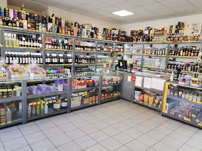
Bezpečné liehoviny MAXXL Diskont
0.1 km
Explore Bezpečné liehoviny MAXXL Diskont in Dobšiná for a remarkable selection of local and international spirits at great prices.
Hydina Gemer
0.1 km
Explore Hydina Gemer in Dobšiná, where fresh poultry and local flavors come together for an unforgettable culinary experience.
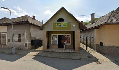
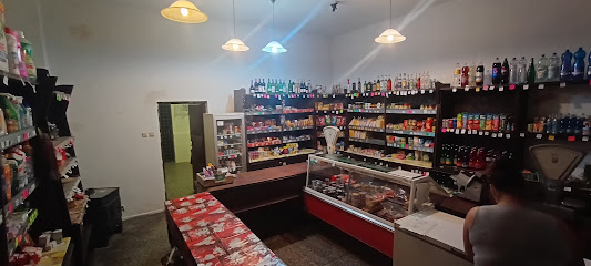
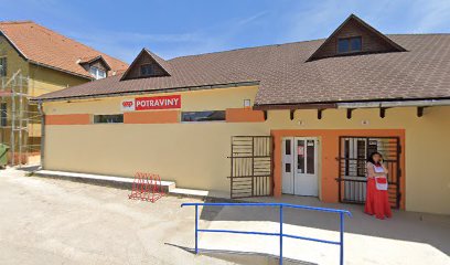
M & S Potraviny
0.1 km
Explore the heart of Dobšiná at M & S Potraviny, your go-to grocery store for fresh produce and authentic Slovak specialties.
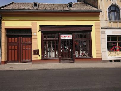
Alex mix
0.2 km
Explore your creative side at Alex Mix, the ultimate DIY shop in Dobšiná, featuring a wide range of supplies for all your crafting needs.
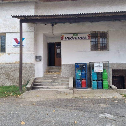
vecierka
0.6 km
Discover Vecierka in Dobšiná: Your local grocery store for authentic Slovak flavors and daily essentials, open daily from 7 AM to 10 PM.
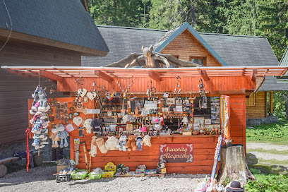
Revaj Jaroslav
0.6 km
Explore Revaj Jaroslav in Dobšiná for unique Slovak souvenirs, local crafts, and an authentic cultural experience that enriches your travel.
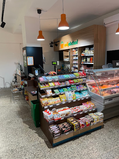
Potraviny Môj Obchod Mlynky
5.1 km
Explore Potraviny Môj Obchod Mlynky – your go-to grocery store for local delights and travel essentials in the heart of Slovakia.
Milena Gajdošová - Lahôdky Delika
5.3 km
Discover the authentic taste of Slovakia at Milena Gajdošová - Lahôdky Delika, a charming grocery store in Dedinky offering local delicacies and gourmet treats.
DUHA - darčeky, pohľadnice, mapy
5.6 km
Explore DUHA, a charming gift shop in Stratená, offering unique souvenirs, postcards, and maps that capture the spirit of your travels.
Potraviny
5.9 km
Discover authentic Slovak flavors and local delicacies at Potraviny in Dedinky, a charming grocery store offering a taste of the region.
e-regaly.sk
6.0 km
Discover innovative shelving solutions at e-regaly.sk in Mlynky, blending style and functionality for every space.
Predaj vstupeniek
6.2 km
Explore Mlynky's vibrant event scene with ease at the premier event ticket seller, your gateway to unforgettable local entertainment.
Mineral and crystal shop
7.6 km
Explore Stratená's Mineral and Crystal Shop for a unique collection of stunning natural treasures and a memorable shopping experience.
TelgART - suveníry & expozície
12.4 km
Explore the heart of Slovak culture at TelgART - Suveníry & Expozície, where unique gifts and local heritage come together.
DreamDoor
12.9 km
Discover DreamDoor, Vernár's premier home improvement store, offering quality products and expert advice for all your DIY projects.
Essential bars & hidden hideouts
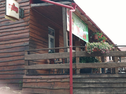
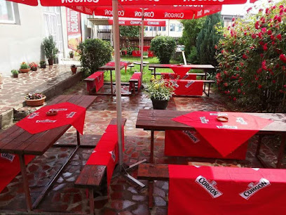
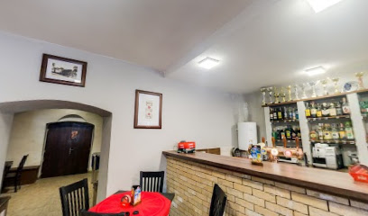
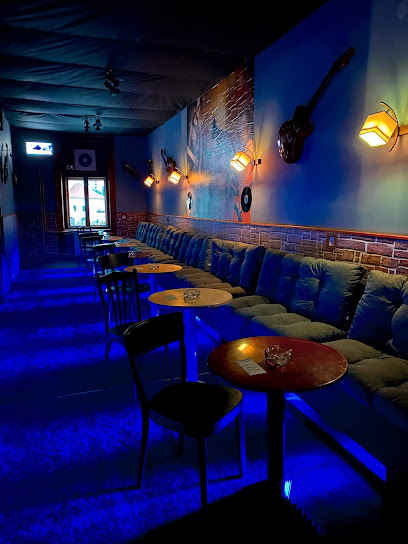
Dobšiná REDUTA
0.1 km
Discover the vibrant atmosphere of Dobšiná REDUTA, a charming bar offering a taste of local culture and refreshing beverages in beautiful Dobšiná.

MarVin - Martin Lipták
0.3 km
Discover the perfect blend of relaxation and flavor at MarVin, a charming bar and cafe in Dobšiná, Slovakia.
Hostinec Vlachovo
6.2 km
Discover the heart of Slovak hospitality at Hostinec Vlachovo, a cozy bar offering local brews and a welcoming atmosphere.
Hostinec pod Stolicou
7.0 km
Experience the essence of Slovakian culture at Hostinec pod Stolicou, a cozy bar in Rejdová offering local drinks and a welcoming atmosphere.
Gošovská kersma
7.7 km
Discover the essence of Slovak culture at Gošovská Kersma, a charming pub in Gočovo, offering local brews and traditional dishes in a cozy atmosphere.
Hostinec Veronika
9.4 km
Discover authentic Slovakian flavors and a warm atmosphere at Hostinec Veronika, a quaint pub in Nižná Slaná-Nižnoslanská Baňa.
bar
12.8 km
Discover the heart of Henckovce at this lively bar, where local spirits and warm camaraderie await every visitor.
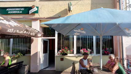
Pohostinstvo Handula
12.9 km
Experience authentic Slovak hospitality at Pohostinstvo Handula, a charming bar in Vernár offering local drinks and a cozy atmosphere.
Barbolica PUB
12.9 km
Experience the warmth of Slovak hospitality at Barbolica PUB in Vernár, where great drinks and local culture come together.
Hostinec MAJA
13.4 km
Discover the welcoming atmosphere of Hostinec MAJA in Slavošovce, a bar offering affordable drinks and a taste of local culture.
Hubert
13.4 km
Hubert Pub in Slavošovce: A cozy retreat for beer lovers and food enthusiasts seeking authentic Slovakian experiences in a charming setting.
Espresso sisi
13.6 km
Discover the cozy charm of Espresso Sisi, a beloved bar in Čierna Lehota, perfect for relaxing with drinks and local culture.
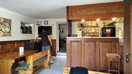
Knižnica Bar & Bistro
13.7 km
Experience the perfect blend of local flavors and cozy ambiance at Knižnica Bar & Bistro in Spišská Nová Ves.
Poľovník pub
14.4 km
Discover the heart of Slovak hospitality at Poľovník Pub, where local flavors and a cozy atmosphere await!
Penzión Kráľov prameň
14.7 km
Experience the charm of Penzión Kráľov prameň, a serene guesthouse in Spišská Nová Ves, perfect for weddings and unforgettable getaways.
Nightclubs & after hour spots
EspressoOáza
14.5 km
Discover the vibrant atmosphere of EspressoOáza, a unique girl bar in Gemerská Poloma, perfect for a lively night out and meeting new friends.
Janka Kalafusová – VERMAT
18.3 km
Discover the vibrant nightlife at Janka Kalafusová – VERMAT, a premier night club in Nálepkovo, where music and energy come alive.
PD Šumiac
18.7 km
Discover the lively nightlife of PD Šumiac, a vibrant night club in the heart of Slovakia, perfect for dancing and socializing.
Cubano bar
19.9 km
Discover the electrifying nightlife of Spišská Nová Ves at Cubano Bar, a lively dance club offering great music, drinks, and an unforgettable experience.
Wild Club
20.0 km
Discover the vibrant nightlife at Wild Club, a premier disco destination in Spišská Nová Ves, where music and dance come alive.
Infinity club
20.0 km
Discover the vibrant nightlife of Infinity Club in Spišská Nová Ves, where local drinks and music create unforgettable memories.
auto zoznamka
21.3 km
Experience the vibrant nightlife at Martin's charming girl bar, where local culture meets unforgettable entertainment for an exciting evening out.
JAZZ CLUB Rožňava
21.4 km
Discover the vibrant nightlife of Rožňava at JAZZ CLUB, where rhythm meets culture in a lively disco atmosphere.
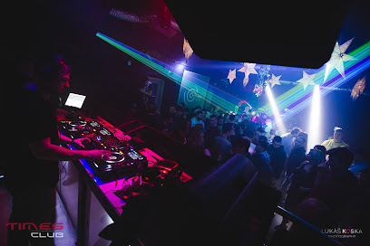
TIMES CLUB
21.4 km
Unleash your dance spirit at TIMES CLUB, Rožňava's ultimate destination for an electrifying nightlife experience.
Rebeca Club
22.0 km
Experience the vibrant nightlife at Rebeca Club, Rožňava's favorite bar for locals and tourists alike, offering refreshing drinks and an inviting atmosphere.
Joker Club
22.2 km
Discover the vibrant nightlife at Joker Club in Rožňava, where bar culture meets the thrill of gambling for an unforgettable evening.
VIP Admiral club
22.7 km
Immerse yourself in the lively atmosphere at VIP Admiral Club, Rožňava's premier bar for exceptional drinks and unforgettable nights.
Aladin Club
24.1 km
Experience the electrifying nightlife at Aladin Club in Revúca, where vibrant music and an energetic crowd create an unforgettable atmosphere.
Stodola Zabavna
26.1 km
Discover the vibrant nightlife of Dravce at Stodola Zabavna, where music, dance, and fun come together for an unforgettable evening.
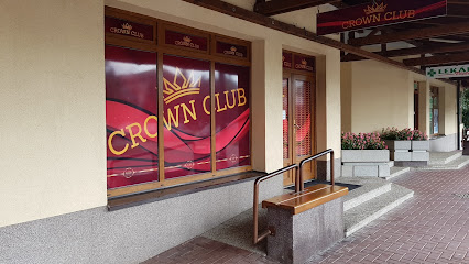
Crown Club
26.3 km
Discover the energetic atmosphere of Crown Club in Poprad, where great drinks and music create an unforgettable nightlife experience.