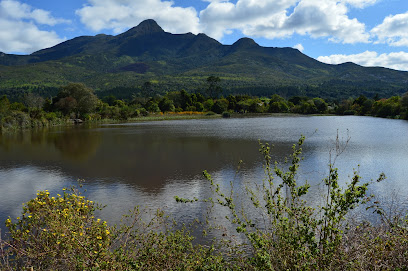
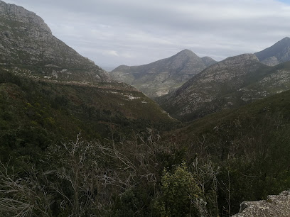
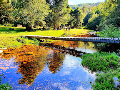
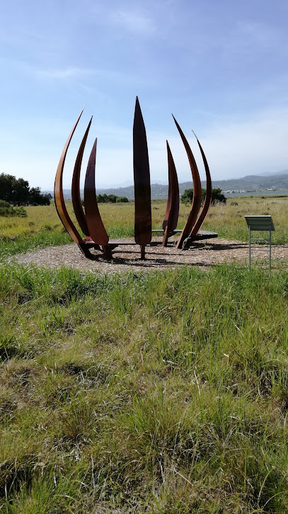
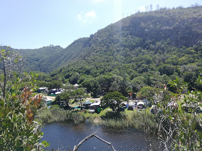
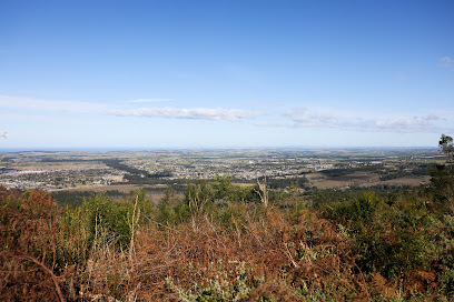
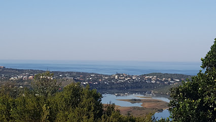
Map of Africa: A Scenic Wonder in Wilderness
Discover the breathtaking Map of Africa in Wilderness, a must-visit scenic viewpoint showcasing the beauty of South Africa's natural landscapes.
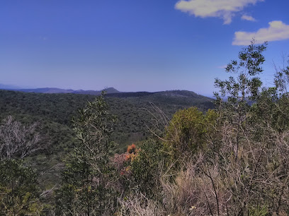
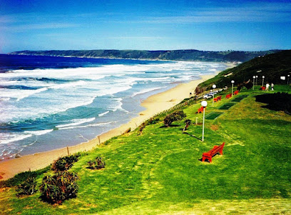
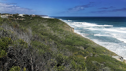
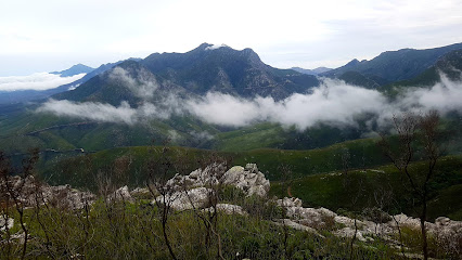
Nestled in the heart of Wilderness, the Map of Africa offers breathtaking panoramic views that resemble the continent itself. This unique natural formation is a must-see for tourists, providing a stunning backdrop for photography and relaxation. Accessible and awe-inspiring, this attraction encapsulates the beauty of South Africa's landscape.
A brief summary to Map of Africa
- Hoekwil, Wilderness, Wilderness, Hoekwil, ZA
- Visit website
- Monday 12 am-12 am
- Tuesday 12 am-12 am
- Wednesday 12 am-12 am
- Thursday 12 am-12 am
- Friday 12 am-12 am
- Saturday 12 am-12 am
- Sunday 12 am-12 am
Local tips
- Visit during sunrise or sunset for the best views and lighting for photography.
- Bring a picnic to enjoy while taking in the stunning scenery.
- Wear comfortable shoes for walking and exploring the surrounding trails.
- Check weather conditions before visiting to ensure clear views.
Getting There
-
Car
If you're driving, start from George, which is about 10 km from Wilderness. Take the N2 highway heading east towards Knysna. After approximately 5 km, take the exit towards Wilderness and follow the signs to Wilderness. Continue on Wilderness Road until you reach Hoekwil. Look for the signs directing you towards the Map of Africa viewpoint. There is a small parking area available for visitors. The scenic drive offers picturesque views, so take your time to enjoy the journey.
-
Public Transportation
To reach the Map of Africa via public transport, take a bus from George to Wilderness. Bus services like Greyhound or local shuttles operate this route. Upon arriving in Wilderness, you will need to arrange for a taxi or rideshare service (like Bolt or Uber) to take you to Hoekwil, where the Map of Africa viewpoint is located. Be prepared for a short taxi ride of about 10-15 minutes, which might cost around R100-R150 depending on the service.
-
Walking
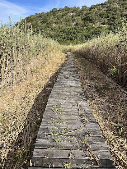
If you're already in Wilderness, you can walk to the Map of Africa viewpoint. The distance from the town center to the viewpoint is approximately 4 km. Head towards Hoekwil Road and follow the signs towards Map of Africa. The path may include some inclines, so ensure you're wearing comfortable shoes. This walk can take about an hour, and you'll be rewarded with beautiful landscapes along the way.
Discover more about Map of Africa
Iconic landmarks you can’t miss
Garden Route Botanical Garden
10.3 km
Experience the stunning landscapes and rich biodiversity of the Garden Route Botanical Garden, a serene retreat in George, South Africa.
Outeniqua Nature Reserve
13.8 km
Discover the breathtaking beauty of Outeniqua Nature Reserve, a nature preserve along Montagu Pass, perfect for hiking, wildlife viewing, and serene picnics.
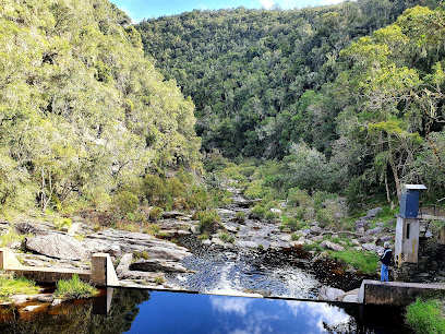
Jubilee Creek Picnic Site
39.2 km
Discover Jubilee Creek Picnic Site: A tranquil retreat in the Garden Route National Park perfect for picnics and nature walks.
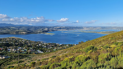
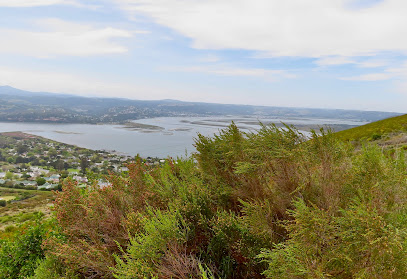
Margaret´s Viewpoint
40.1 km
Discover breathtaking views of Knysna's lagoon and marina at Margaret's Viewpoint, a must-visit observation deck for nature lovers and photographers.
The Red Bridge
40.7 km
Discover the beauty and history of The Red Bridge in Knysna, a stunning landmark offering picturesque views and a glimpse into the region's past.
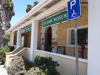
Old Gaol
45.4 km
Explore the Old Gaol: A free historical treasure in Knysna revealing the town's rich heritage and captivating stories.
Steenbok Nature Reserve
46.8 km
Experience the serene beauty of Steenbok Nature Reserve, a free nature preserve in Knysna, perfect for families and nature lovers seeking tranquility.
East Head View Point
47.1 km
Experience the enchanting vistas and serene atmosphere of East Head View Point, a scenic gem in Knysna, South Africa.
Grave of George Rex
48.0 km
Explore the Grave of George Rex in Knysna: A historical gem that intertwines South Africa's colonial past with stunning natural beauty.
Spitzkop Viewpoint
53.9 km
Experience the breathtaking beauty of Spitzkop Viewpoint, where stunning panoramas of Knysna and nature's splendor await your visit.
Zwartberg View Mountain Lodge
53.9 km
Experience the breathtaking beauty of the Karoo at Zwartberg View Mountain Lodge, a serene retreat offering stunning vistas and modern comforts.

King Edward VII/ Diepwalle Big Tree
54.7 km
Discover the serene beauty of King Edward VII / Diepwalle Big Tree in Knysna, a nature preserve perfect for relaxation and exploration.
De Zeekoe | Self Catering, Bed & Breakfast Oudtshoorn Accommodation
55.3 km
Experience the beauty of Oudtshoorn at De Zeekoe, a serene guest house offering wildlife encounters and scenic landscapes.
Oppi Dam
64.4 km
Discover the tranquil beauty of Oppi Dam, a serene campground in Oudtshoorn offering self-catering accommodations amidst stunning nature.
Altes Landhaus
64.9 km
Experience luxury and tranquility at Altes Landhaus, a charming lodge nestled in the breathtaking Schoemanshoek Valley near Oudtshoorn.
Unmissable attractions to see
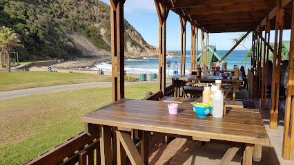
Kaaimans River Beach
0.7 km
Discover the tranquil beauty of Kaaimans River Beach in Wilderness, South Africa, where adventure meets relaxation in a stunning natural setting.
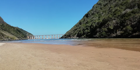
Kaaimans River Bridge
2.7 km
Discover the breathtaking Kaaimans River Bridge in George, South Africa – a must-see architectural gem surrounded by stunning natural beauty.
Victoria heights Animal and Reptile park
3.4 km
Discover the wonders of wildlife at Victoria Heights Animal and Reptile Park, a family-friendly attraction in George, South Africa.
Garden Route National Park - Wilderness Section
4.4 km
Explore the breathtaking landscapes and diverse ecosystems of the Wilderness Section of Garden Route National Park in South Africa for an unforgettable adventure.
Wilderness Beach
4.8 km
Discover the breathtaking beauty of Wilderness Beach, a coastal paradise perfect for relaxation, adventure, and unforgettable experiences along the Garden Route.
Flat Rock
5.7 km
Experience the breathtaking views and serene nature at Flat Rock in Wilderness, a top tourist attraction on South Africa's Garden Route.
Island Lake
6.8 km
Discover the serene beauty of Island Lake in Wilderness National Park, where nature meets adventure and tranquility awaits.
Garden Route Experience
8.4 km
Discover the Garden Route Experience in George, South Africa, where culture, history, and breathtaking landscapes come together in harmony.
Outeniqua Transport Museum
8.6 km
Explore the Outeniqua Transport Museum, a captivating journey through South Africa's rich transport history with vintage trains, vehicles, and engaging exhibits.
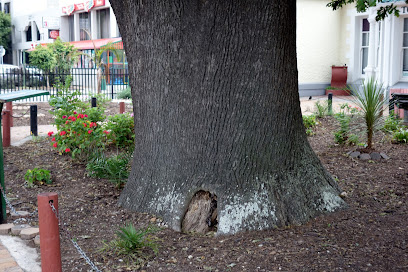
The Old Oak Slave Tree
10.2 km
Discover the Old Oak Slave Tree in George, South Africa - a historic landmark that reflects the resilience of the human spirit amidst a complex past.
George Museum
10.2 km
Explore the George Museum for a deep dive into the local history and culture of this charming South African town.
Cradock Peak
14.3 km
Experience the breathtaking beauty of Cradock Peak, a premier hiking destination in South Africa, featuring stunning views and rich biodiversity.
SANParks Rondevlei Bird Hide
14.5 km
Explore the serene beauty of SANParks Rondevlei Bird Hide, a birdwatcher's paradise nestled in the Wilderness area of South Africa.
Old Toll House Montagu Pass
15.7 km
Experience the historical elegance of Old Toll House Montagu Pass, where stunning views and delightful treats await every traveler.
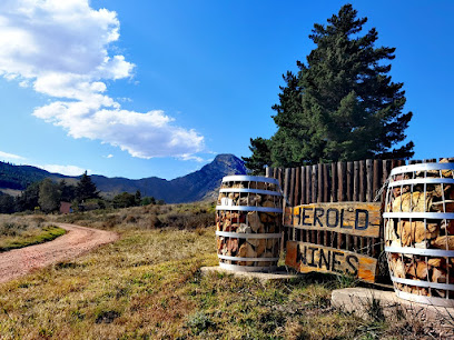
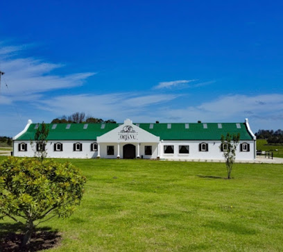
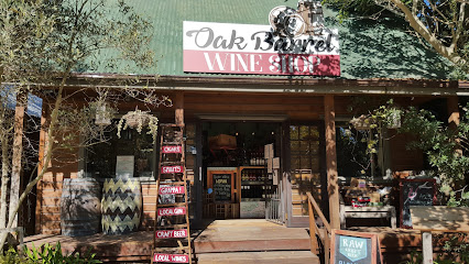
Herold Wines
16.7 km
Discover the exquisite wines and stunning views at Herold Wines, a must-visit winery along South Africa's beautiful Garden Route.
Essential places to dine
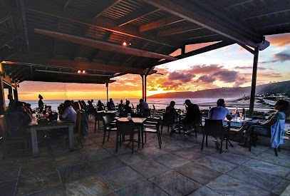
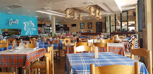
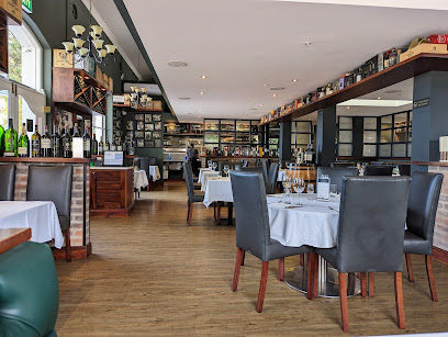
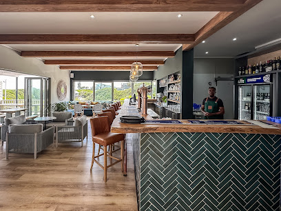
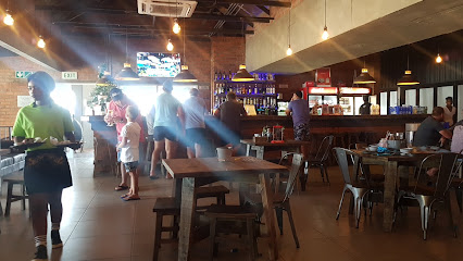
Blue Olive Restaurant
1.3 km
Experience exquisite Mediterranean dining at Blue Olive Restaurant in Wilderness - where fresh ingredients meet stunning views.
Vikki's At The Beach
1.7 km
Experience delectable seafood and stunning beach views at Vikki's At The Beach in Victoria Bay.
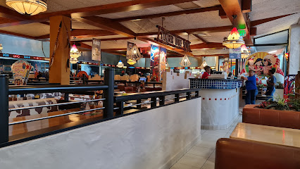
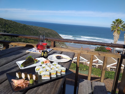
Salinas Beach Restaurant
2.1 km
Discover fresh seafood and sushi at Salinas Beach Restaurant in Wilderness – where stunning views meet delightful flavors.
Mugg & Bean
5.2 km
Experience delightful meals and artisanal coffee at Mugg & Bean in George's Garden Route Mall – your cozy retreat amidst adventure.
Ocean Basket Garden Route Mall
5.3 km
Discover fresh seafood delights at Ocean Basket Garden Route Mall – where Mediterranean flavors meet family-friendly dining in George.
Timber Wolf Spur Steak Ranch
5.3 km
Experience family-friendly dining at Timber Wolf Spur Steak Ranch in George, offering delicious steaks and burgers in a vibrant atmosphere.
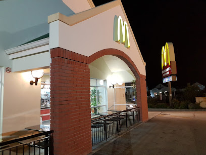
McDonald's Garden Route Mall Drive-Thru
5.5 km
Discover delicious fast food at McDonald's Garden Route Mall Drive-Thru - where convenience meets comfort in George.
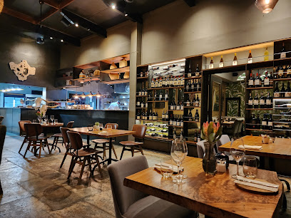
101 Meade Street Restaurant
10.0 km
Experience culinary excellence at 101 Meade Street Restaurant in George - where every meal is crafted with passion and served with warmth.
The Hussar Grill George
10.3 km
Discover the ultimate steakhouse experience at The Hussar Grill George, where quality meets flavor in every bite.
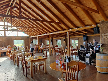
Down to Earth Venue & Restaurant
16.1 km
Experience elegance at Down to Earth Venue & Restaurant in Herolds Bay – perfect for weddings and exquisite dining with stunning views.
Deja Vu Equestrian Cottages & De Hoft Restaurant
16.3 km
Discover tranquility at Deja Vu Equestrian Cottages & indulge in exquisite dining at De Hoft Restaurant amidst George's breathtaking scenery.
Dutton's Cove Restaurant
16.7 km
Experience fresh seafood and stunning ocean views at Dutton's Cove Restaurant in Herolds Bay - an unforgettable culinary destination.
Meet At Sea
23.5 km
Experience exquisite dining at Meet At Sea in Glentana – where fresh local flavors meet stunning ocean views.
The Pot Village
27.2 km
Experience delightful local cuisine at The Pot Village in Groot Brakrivier – where flavor meets stunning scenery.
Transkaroo Restaurant
30.6 km
Experience authentic South African farm cuisine at Transkaroo Restaurant in Groot Brakrivier – where every meal tells a story.
Markets, malls and hidden boutiques
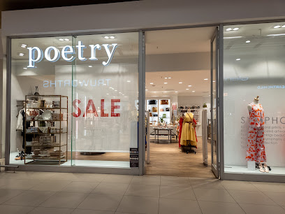
Poetry Garden Route Mall
5.3 km
Explore Poetry Garden Route Mall for stylish women's clothing and unique home goods, capturing the essence of South African culture.
De Jagers Garden Route Mall
5.3 km
Explore De Jagers Garden Route Mall for stylish clothing and a vibrant shopping atmosphere in George, South Africa.
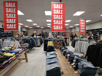
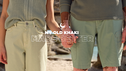
Old Khaki Garden Route Mall
5.4 km
Experience fashion at Old Khaki Garden Route Mall, where quality meets style for men and women in a chic shopping environment.
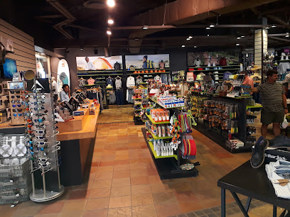
Cape Union Mart Garden Route Mall
5.4 km
Discover outdoor adventure essentials at Cape Union Mart Garden Route Mall, your one-stop shop for quality gear and apparel in George, South Africa.
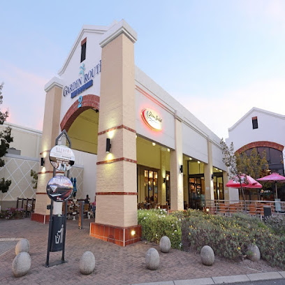
Garden Route Mall
5.4 km
Discover the vibrant shopping and dining experience at Garden Route Mall, where every visit offers something special for tourists and locals alike.
Edgars Garden Route
5.4 km
Discover trendy fashion styles and quality apparel at Edgars Garden Route, your go-to clothing store in George, South Africa.
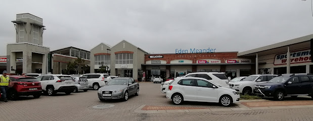
Eden Meander Lifestyle Centre
5.8 km
Explore the Eden Meander Lifestyle Centre for a unique shopping experience in George, South Africa, filled with diverse retail options and delightful dining.
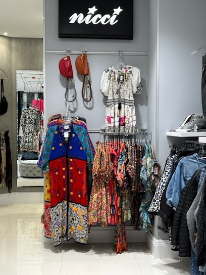
Nicci Boutiques Garden Route Mall
6.7 km
Explore the chic styles of Nicci Boutiques at Garden Route Mall, your destination for unique clothing and accessories in South Africa.
Youniq Gifts & Accessories
9.6 km
Explore Youniq Gifts & Accessories in George, South Africa for unique gifts and local crafts that capture the essence of your travels.
Timberlake Village
11.5 km
Explore Timberlake Village, a charming shopping haven with an array of artisanal shops, delightful eateries, and scenic outdoor spaces in South Africa's Garden Route.
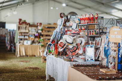
Boerevintage Gift Market
16.8 km
Explore Boerevintage Gift Market - a vibrant hub for unique gifts, local crafts, and artisanal treasures in the heart of George, South Africa.
Made In The Garden Route
23.8 km
Explore the charm of local craftsmanship at Made In The Garden Route, your go-to gift shop for unique souvenirs and artisanal treasures.
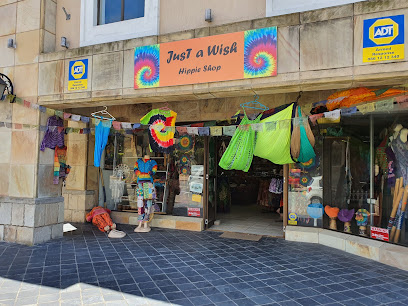
just a wish hippie shop
43.4 km
Explore the vibrant bohemian fashion at Just a Wish Hippie Shop in Mossel Bay, where unique styles and local artistry come together.
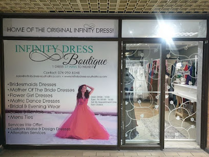
Infinity Dress Boutique Garden Route
43.5 km
Shop at Infinity Dress Boutique in Mossel Bay for exquisite bridal wear, personalized service, and a delightful shopping experience.
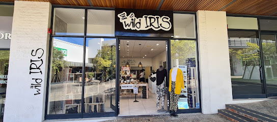
Wild Iris
44.8 km
Explore unique clothing and accessories at Wild Iris, the must-visit boutique in Knysna, South Africa, for fashion lovers with a taste for the extraordinary.
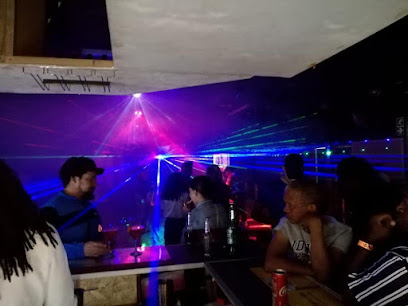
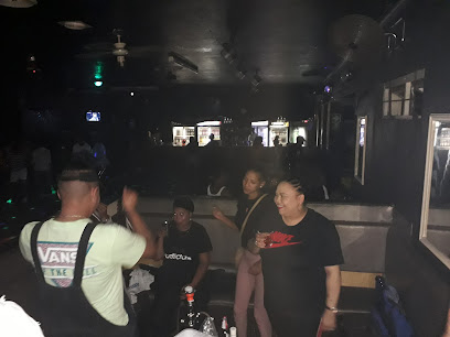
Essential bars & hidden hideouts
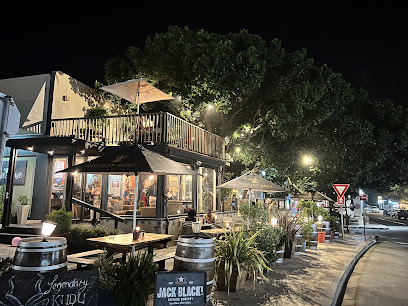
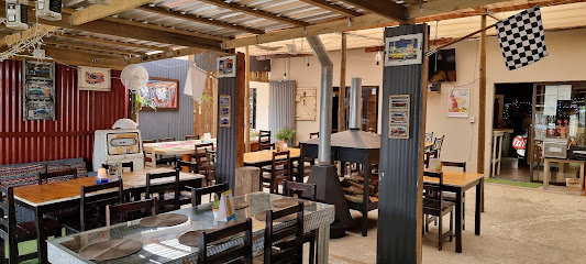
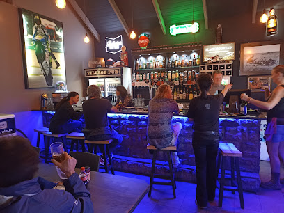
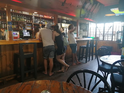
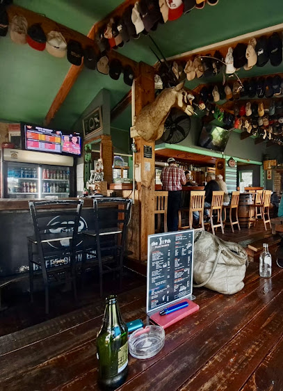
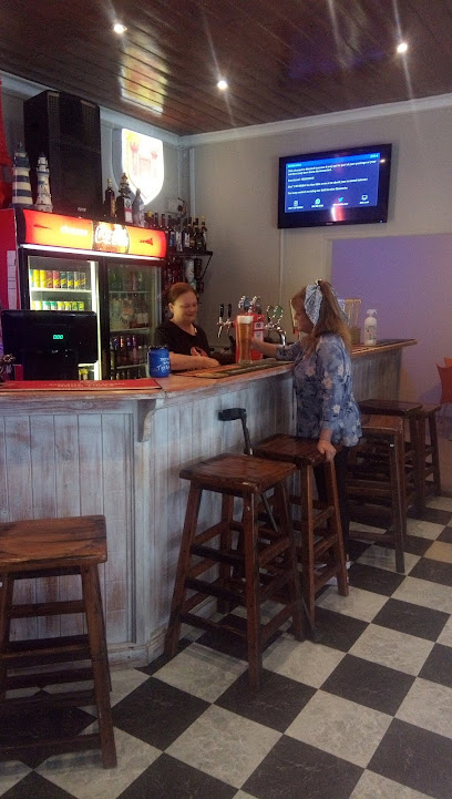
Village Pub
1.3 km
Discover the cozy Village Pub in Wilderness, where delicious food, refreshing drinks, and a warm atmosphere await you amidst stunning natural beauty.
Tarantino's Resto Bar
9.4 km
Discover the vibrant flavors of George at Tarantino's Resto Bar, where unforgettable meals and a lively atmosphere await every visitor.
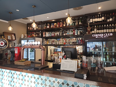
Corner Club
15.9 km
Experience the vibrant nightlife of George at Corner Club, your go-to bar for delicious drinks and a lively atmosphere.
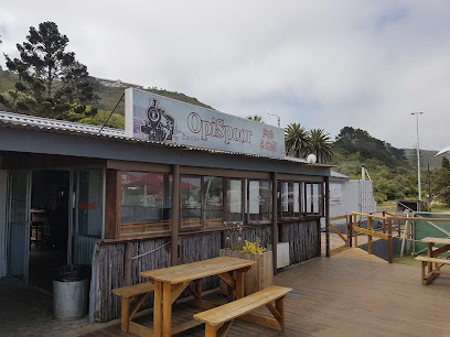
OpiSpoor Restaurant & Pub
30.8 km
OpiSpoor Restaurant & Pub in Groot Brakrivier offers a delightful grill menu, stunning views, and an inviting atmosphere for all visitors.
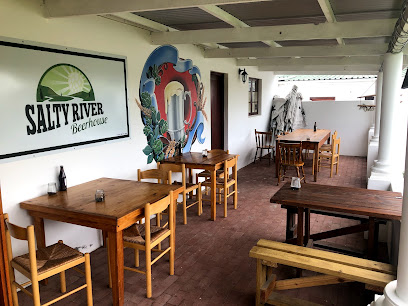
Salty River Beer House
39.9 km
Experience the vibrant atmosphere and local flavors at Salty River Beer House, a must-visit beer garden in Kleinbrak River.
The Bell Tavern
40.7 km
Discover the vibrant atmosphere and local flavors at The Bell Tavern, a must-visit pub in the heart of Knysna.
Zeppelins
43.1 km
Experience the vibrant nightlife of Mossel Bay at Zeppelins, a bar offering delicious drinks and lively entertainment in a friendly atmosphere.
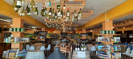
Crazy Wine & Deli
43.1 km
Experience the best of local wines and artisan deli delights at Crazy Wine & Deli, Mossel Bay's vibrant bar for travelers and locals alike.
Na Donker
43.5 km
Experience the thrill of live sports and local flavors at Na Donker, Hartenbos's favorite sports bar!
Blue Oyster Cocktail Bar
43.8 km
Experience the vibrant atmosphere and exquisite cocktails at the Blue Oyster Cocktail Bar, a must-visit spot in beautiful Mossel Bay!
The 19th pub
44.2 km
Experience South African nightlife at The 19th Pub in Hartenbos, where great drinks and lively vibes await every visitor.
Knysna Ligthouse Pub & Grill.
44.6 km
Discover the vibrant atmosphere and delicious local cuisine at Knysna Lighthouse Pub & Grill, a must-visit spot in the heart of Knysna.
Kings Sports Bar
44.8 km
Experience the thrill of live sports, delicious food, and a vibrant atmosphere at Kings Sports Bar in Knysna, a must-visit for every sports enthusiast.
Bloo Bistro / World Cafe / Bar
45.1 km
Discover Bloo Bistro in Knysna: A lively bar offering delicious food, refreshing drinks, and a vibrant atmosphere perfect for socializing.
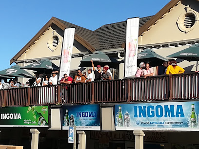
INGOMA PUB & GRILL
45.2 km
Discover the lively ambiance and culinary delights at Ingoma Pub & Grill in the heart of Knysna, a must-visit for every traveler.
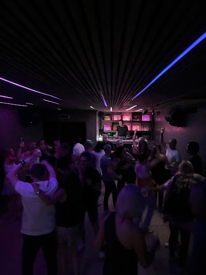
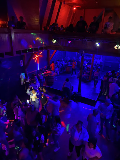
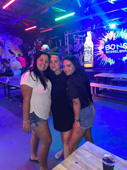
Nightclubs & after hour spots
Red Door Tavern /Restautant
5.5 km
Discover the electrifying nightlife at Red Door Tavern in Thembalethu, George, where music, dance, and vibrant crowds come together.
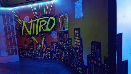
Nitro Lounge
10.2 km
Uncover the lively atmosphere of Nitro Lounge, George's go-to night club for unforgettable nights filled with music and dancing.
Club Galaxy
10.5 km
Discover the vibrant nightlife of George at Club Galaxy, the ultimate destination for dancing and entertainment in Heatherlands.
Club Ultimate @ Local-info.co.za
45.1 km
Dive into Knysna's nightlife at Club Ultimate, where vibrant music and unforgettable moments await every party enthusiast.

Privilege on Main
45.3 km
Discover the vibrant nightlife of Knysna at Privilege on Main, the ultimate destination for music, dance, and unforgettable experiences!
Heeltyd Speeltyd Mosselbaai
45.9 km
Experience the vibrant nightlife at Heeltyd Speeltyd in Mossel Bay - a premier venue for dancing, live music, and unforgettable moments.
CLUB IXWA @ HORNLEE HOTEL
49.2 km
CLUB IXWA @ HORNLEE HOTEL: Dive into Knysna's nightlife with electrifying beats, vibrant dance floors, and unforgettable themed events.
Hornlee Nite Spot
49.2 km
Experience the vibrant nightlife at Hornlee Nite Spot in Knysna, where music and dance create unforgettable memories.
Spotlight Night Club
73.4 km
Dance the night away at Spotlight Night Club, Plettenberg Bay's premier disco destination with electrifying music and a vibrant atmosphere.

The Quarter Club
75.1 km
Discover the vibrant nightlife of Plettenberg Bay at The Quarter Club, where expertly crafted cocktails and a lively atmosphere await.